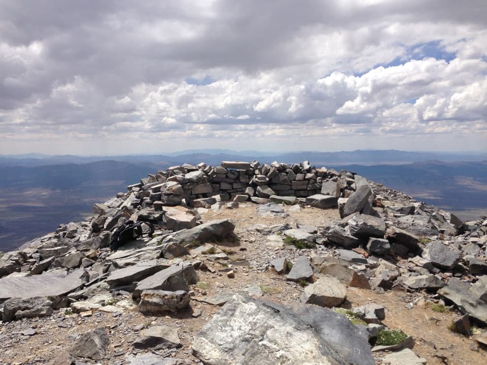
Wheeler Peak

Nevada’s high‑alpine summit with big views and bigger winds
Wheeler Peak, Great Basin National Park
InsideGreat Basin National Park

Overview

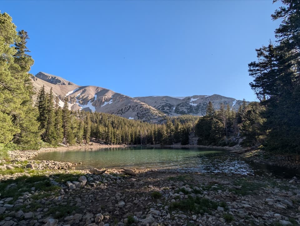
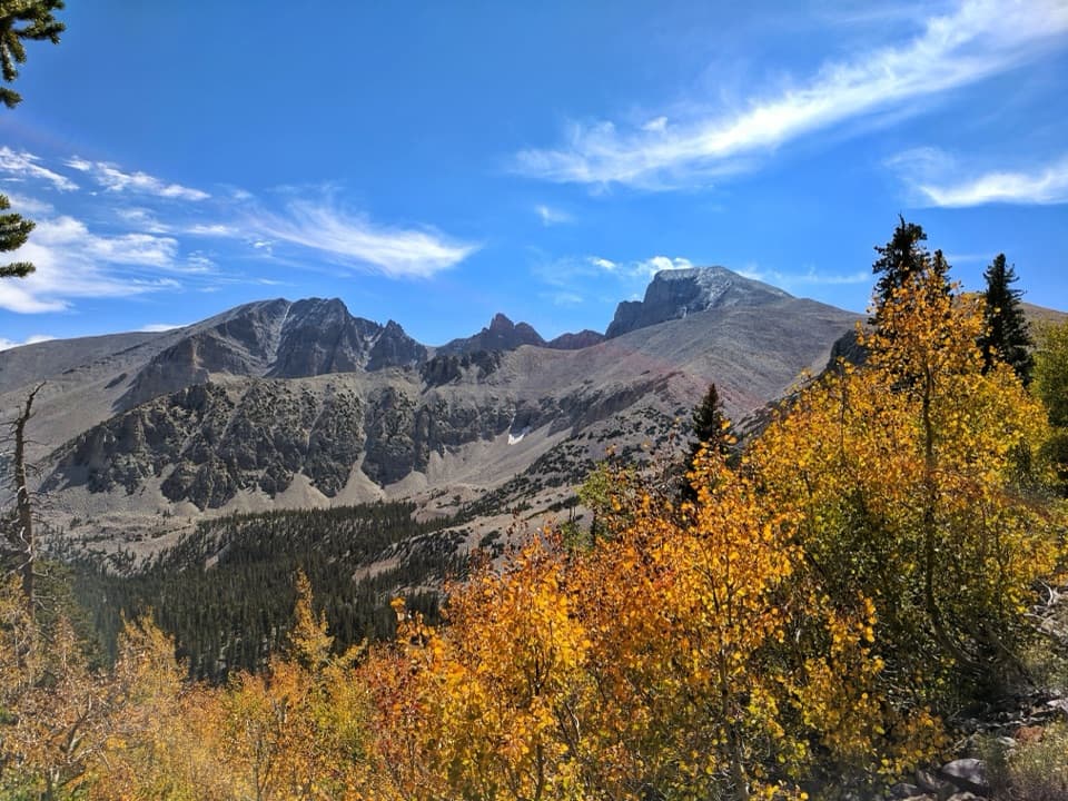
Wheeler Peak is the park’s marquee summit—second-highest in Nevada and the highest wholly within the state at 13,063 feet. It rises above a dramatic glacial cirque and alpine lakes, with a trail that rewards effort with far-reaching views and a true high‑country feel. The peak is named for Lt. George M. Wheeler, who surveyed the region in the 1860s.

The Hike

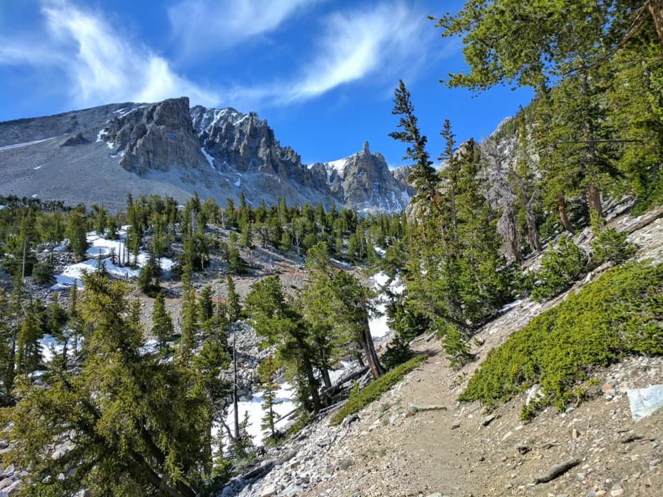
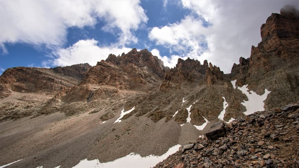
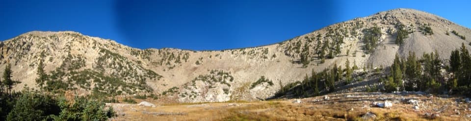
Most hikers tackle the standard summit route from the Summit Trailhead near the top of the Wheeler Peak Scenic Drive. Expect 8.2–8.6 miles round trip with roughly 2,900–3,100 feet of gain, and plan on 4–10 hours depending on fitness and conditions. The path starts gently through meadows, then climbs above treeline into a rocky talus slope, with most of the elevation packed into the upper miles. It’s steep, exposed, and frequently windy.

What You’ll See

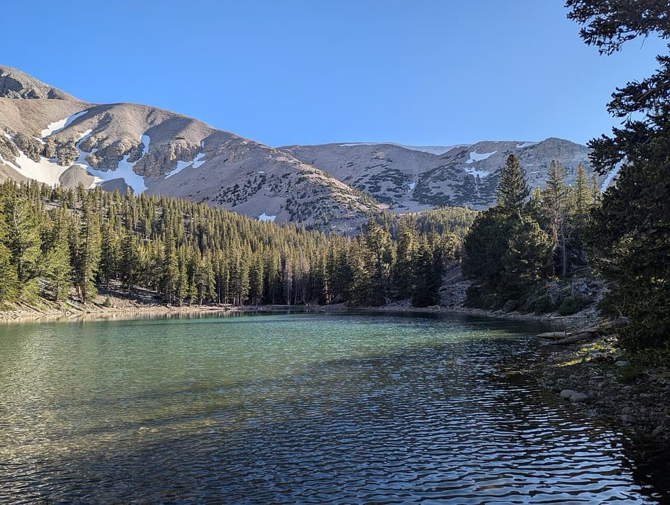
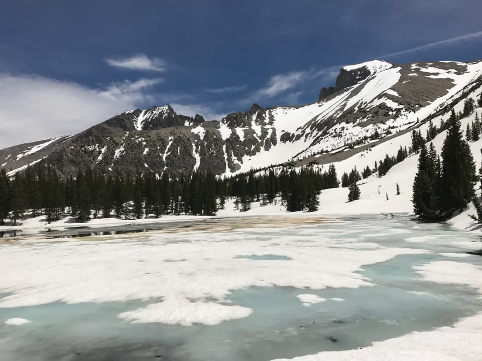
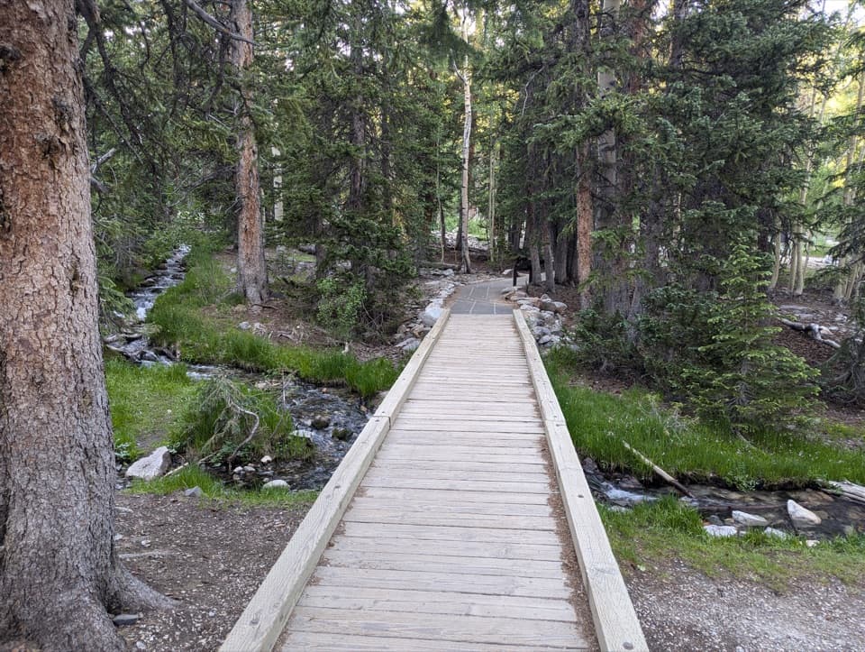
The route threads mixed woodland and open alpine meadows before breaking onto the barren, big‑sky ridge. Below you sits the Wheeler Peak Cirque—sculpted by Pleistocene ice—with small tarns like Stella Lake, moraines, arêtes, and even rock glaciers mantled in quartzite debris. Near the upper parking area you’ll also find celebrated bristlecone pine groves, a humbling counterpoint to the summit’s sweeping vistas.

Conditions, Hazards, and Seasonality

This is a true high‑elevation climb: altitude effects are common, winds can be fierce on the ridge, and summer afternoons often bring thunderstorms. Snow can linger well into summer. In winter, the upper scenic drive isn’t plowed, making any ascent much longer and more committing. Start early, watch the weather, and turn around if storms build.

Wildlife

Mule deer are commonly spotted in the forests and meadows, and Great Basin rattlesnakes have been observed in the area—watch your step in sunny, rocky zones.

Water, Facilities, and Logistics

There’s no potable water along the scenic drive and none on the route. The Summit Trailhead itself has no facilities. Fill bottles at the Lehman Caves Visitor Center or the seasonal potable‑water RV dump station near the park entrance, and use vault toilets in developed campgrounds when open. Parking at the summit area is limited and fills on busy summer days.

Best Time to Visit

Late June through September is typically “in season” when the upper road is open and the route is mostly snow‑free. Begin at or before sunrise to beat winds, avoid afternoon thunderstorms, and secure a parking spot. Summer weekends see the most traffic; weekdays and early starts are your friend.

Pros

  • Sweeping 13,063‑ft summit views over the Great Basin
  • Classic high‑alpine route across glacial cirque terrain

Cons

  • Strenuous, exposed, and often very windy above treeline
  • No water or facilities at the Summit Trailhead; parking can fill

Tips

  • Start before sunrise to beat storms, wind, and parking crunch.
  • Carry at least a gallon of water per person; there are no on‑route sources.
  • Pack a windproof layer, warm hat, and light gloves for the summit ridge.
  • Check upper road status; winter closures add many miles to the approach.
  • Trekking poles help on the steep, loose talus near the top.
The Parkwolf tour guide sitting on a phone mounted in a car

Parkwolf Tour Guide

Like a tour guide in your car.

Save the places you found around Great Basin, then let Parkwolf guide the drive between them.Download Parkwolf on the App Store