Parking
Use the marked spaces at Bristlecone Trailhead at the end of Wheeler Peak Scenic Drive. Parking along the road or outside designated spaces is prohibited. Pit toilets are at the trailhead.
#3 of 29 trails in Great Basin
Great Basin National Park, NV
Two alpine lakes and a Wheeler Peak backdrop reward the climb.
Overview
Map & elevation
Plan your hike

The highest, rockiest slopes around here are a summer buffet for grizzly bears.
Great Basin Tour Guide
Parkwolf is a GPS audio tour guide for Great Basin National Park. As you drive, it chimes in with what’s ahead: hidden gems, upcoming stops, history, geology, and wildlife, right through your car’s speakers.
See the Great Basin audio tourRecorded for this trailhead
Bristlecone Trailhead: The Grove Walk“Up ahead is Bristlecone Trailhead, where I'd choose the hike to Wheeler Peak's bristlecone grove.”
Plays as you drive up to this trailhead in the Parkwolf Great Basin Tour Guide.
More stories near here in the app
“Fantastic app with many points of information… It’s great to just turn on while you’re driving and it gives you an audio tour of the national Park. We love it!!!!”


Trail guide
Alpine Lakes Loop is a 2.7-mile circuit from Bristlecone Trailhead. A short shared approach leads to the lake circuit; after visiting Stella and Teresa Lakes, you retrace that approach to the lot. The route stays in the high basin beneath Wheeler Peak and Doso Doyabi, with forest, meadows, rocky slopes and two different lakeshores breaking up the climb. If you have time for one easy high-country walk, do the full circuit: turning around at Stella repeats the way in and leaves Teresa out. Allow 1.5 to 3 hours. The grade is manageable, but at nearly 10,000 feet you may work harder than the mileage suggests.
From the trailhead, take the maintained path over a small creek. The Sky Island Forest Trail branches left early; stay on the main route. There is another bridge and a short boardwalk before the trail climbs gradually through conifers and patches of aspen. Small openings bring Wheeler Peak into view. Around a mile in, Stella Lake appears near junctions with the Wheeler Peak Summit Trail. Stay on the lake route at those crossings; following the summit path changes this into a much longer hike.
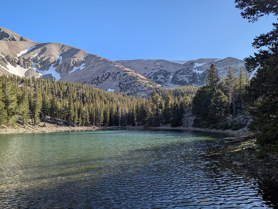
Stella has an open shore beneath a steep, pale scree slope, with Wheeler Peak behind it. It is the first lake on the circuit and an easy place to stop. For a photo, include some of the shore in front of the mountain; the foreground shows the scale of the slope better than a tight shot of the water. The loop continues past the lake, so do not mistake the first view for the end of the walk.
After Stella, the path gradually descends through thicker pine cover, then reaches Teresa Lake on the right at roughly 1.8 miles. It is smaller and more enclosed by trees than Stella. Its waterline changes with the snowpack and the year: in a dry season it can shrink to a small pool, while a wetter year can leave a broad, blue-green basin. The trail meets the Bristlecone route nearby; stay on Alpine Lakes Loop if you want the short lake circuit rather than the separate Bristlecone Grove and glacier walk.
These lakes sit in small basins shaped by Ice Age glaciers. The steep rubble slopes and broken ridgelines around them make that history visible without leaving the trail. The path moves between conifer forest, patches of aspen and open meadow; summer brings wildflowers, and the lakeside openings frame Wheeler Peak and Doso Doyabi. The park also recommends the loop for a night walk, when the dark basin opens onto a broad view of the stars.
Park at Bristlecone Trailhead at the end of Wheeler Peak Scenic Drive. The trailhead has pit toilets without running water; parking on the road or outside marked spaces is prohibited. There is no potable water along the scenic drive, so bring enough for the hike and a snack. The route starts just below 10,000 feet, where afternoon thunderstorms and altitude illness are real concerns; the basin can also be 20 to 30 degrees cooler than the valley. Slow down or turn back if you feel altitude symptoms or see storms building. The scenic drive closes in winter and after snowfall, so access is seasonal. Pets are not allowed on park trails; trained service animals are permitted.
Wildlife
 22 sightingsElkMost seen around 8 PMSighting map
 237 sightingsMule DeerMost seen around 6 AMSighting map
 186 sightingsWild TurkeyMost seen around 7 AMSighting map
 22 sightingsRattlesnakeMost seen around 6 PMSighting map
 23 sightingsDusky GrouseMost seen around 7 AMSighting map
 18 sightingsThree-toed WoodpeckerMost seen around 8 AMSighting map
Sighting maps show where each species has been reported across Great Basin. Wildlife moves, so no sighting is guaranteed.
Keep exploring
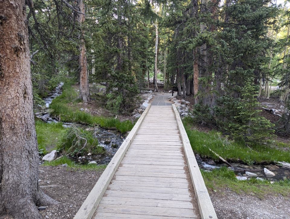 EasySky Island Forest Trail0.4 mi · 30 min · At the trailheadA level boardwalk loop through a forest high above the desert.
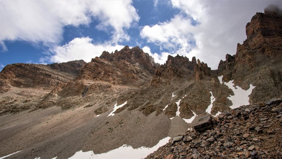 ModerateGlacier Trail4.8 mi · 3 hr · At the trailheadAncient bristlecones lead into the rocky cirque of Nevada’s last glacier.
 ModerateBristlecone Trail2.8 mi · 2.3 hr · At the trailheadAncient bristlecones reward a short climb above 10,000 feet.
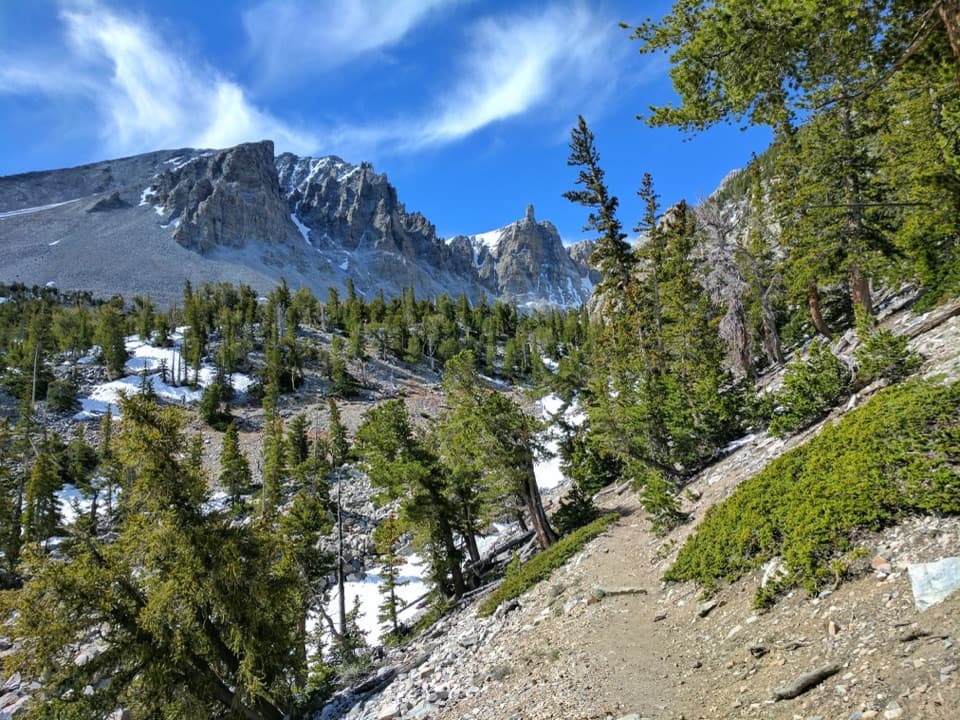 ChallengingAlpine Lakes, Bristlecone, and Glacier Loop6 mi · 4 hr · At the trailheadTwo alpine lakes, old bristlecones, and a rocky glacier climb.EasyTeresa Lake Trail1.5 mi · 1 hr · At the trailheadA short, high-altitude walk to Teresa Lake beneath Wheeler Peak.
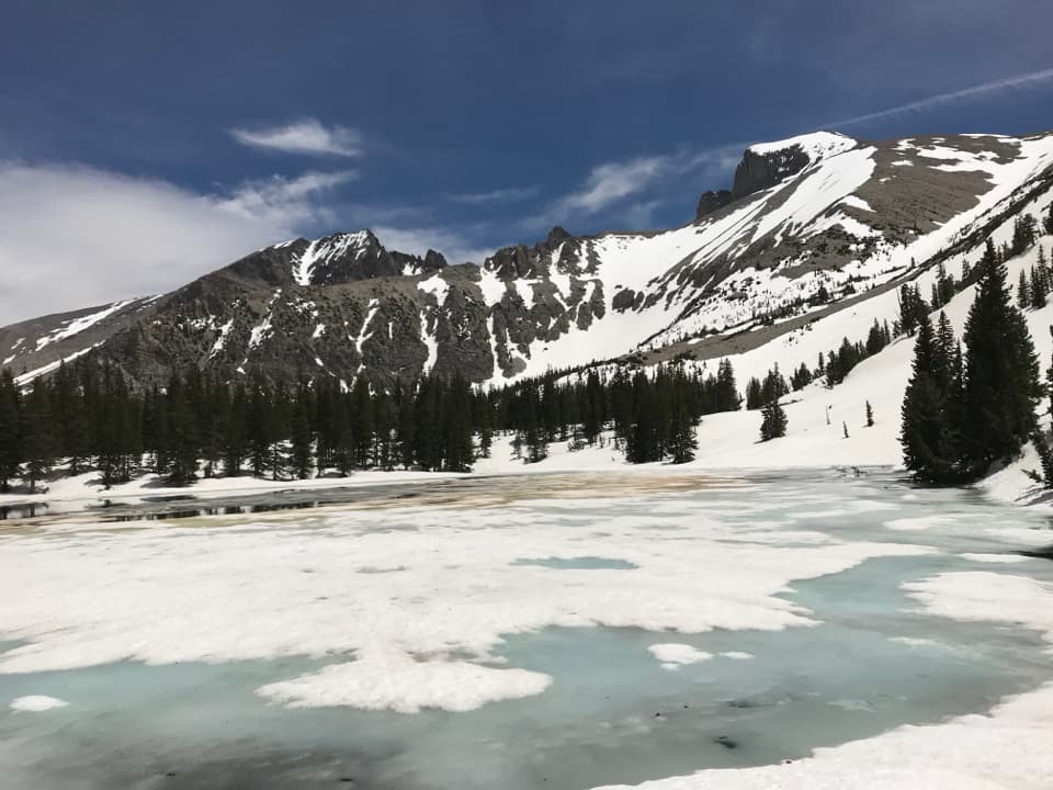 ModerateStella Lake via Alpine Lakes Loop Trail2.1 mi · 1.5 hr · At the trailheadA high lake beneath Wheeler Peak, a little over a mile in.
 EasyStella Lake via Wheeler Peak Trailhead2.5 mi · 1.5 hr · 0.5 mi awayA shaded alpine walk to a lake below Wheeler Peak.ChallengingWheeler Peak Summit Trail8.6 mi · 7 hr · 0.5 mi awayAn exposed high-altitude climb to Nevada’s highest wholly in-state summit.
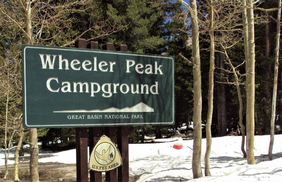 Campground · 0.2 mi awayWheeler Peak CampgroundCamp beneath Wheeler Peak at the National Park System's highest campground.
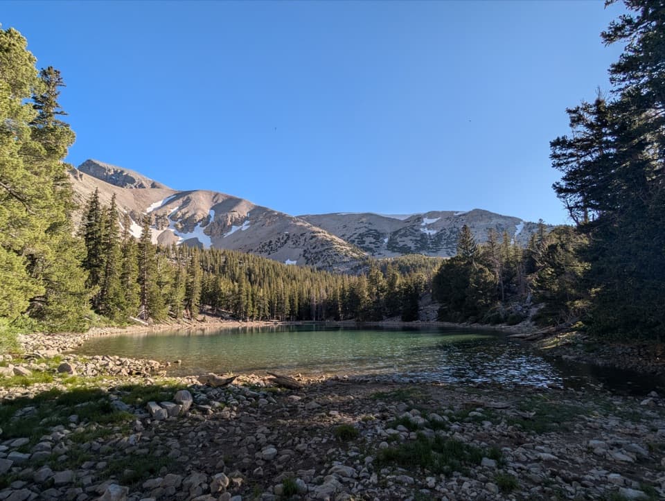 Sight · 0.5 mi awayTeresa LakeA short spur brings Wheeler Peak into the lake view.Sight · 0.6 mi awayWheeler Peak Bristlecone GroveA high-country hike among bristlecones and glacial boulders.
 Sight · 0.7 mi awayStella LakeA mountain lake worth the full high-country loop.Sight · 1.3 mi awayWheeler Peak Glacier ViewpointA high-altitude hike to Nevada’s last glacier, sometimes hidden by rock.
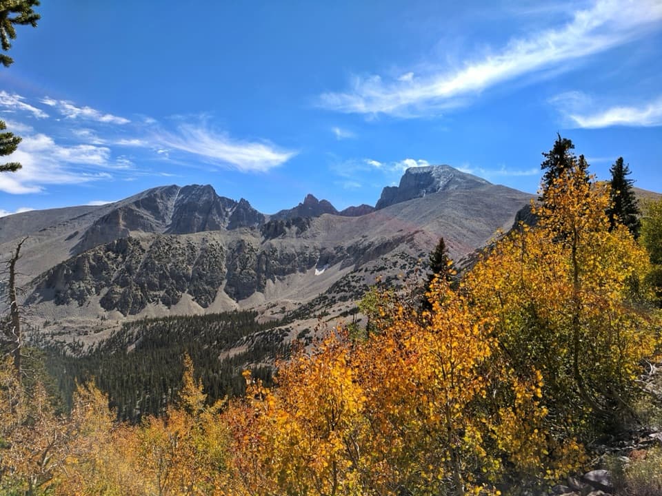 Sight · 1.6 mi awayWheeler Peak OverlookThe road's only look at an ice-filled rock glacier.
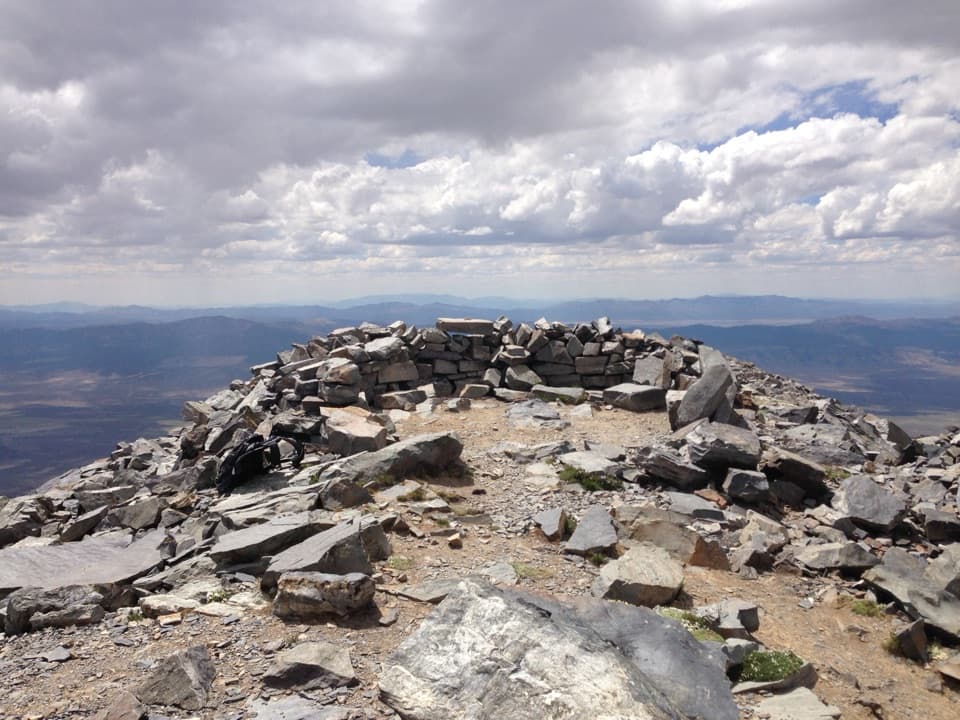 Sight · 1.7 mi awayWheeler PeakLong, exposed climb to Nevada’s second-highest summit.
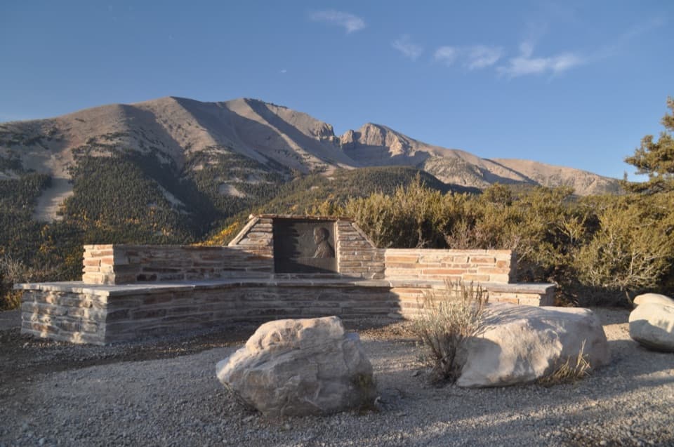 Sight · 1.9 mi awayMather OverlookA close look at Wheeler Peak's cirque and its mountain life zones.
Parkwolf’s Great Basin ranking

The audio tour guide for the drive, plus offline maps, trails, and wildlife heatmaps for when the signal drops.
