
Place
Challenging
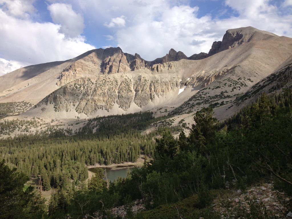
Big Wash is for hikers who want the park to themselves. It’s described as one of the most difficult and least-traveled routes here, and it feels every bit of that: long, remote, and brushy. Expect an isolated experience with expansive views across Great Basin’s classic basin-and-range landscape.
This is a point-to-point route totaling 20.6 miles. It threads through open shrubland and regrown brush, and you should plan on sections of bushwhacking where vegetation has reclaimed the corridor. The trail combines the North Fork and South Fork of Big Wash and links Snake Creek Road on one end to the North Fork Lexington Creek area on the other. Unless you plan to turn around and retrace your steps, you’ll need a shuttle.
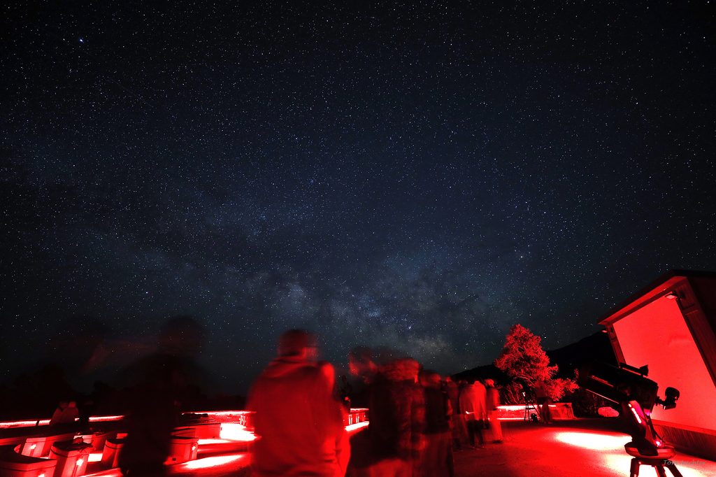
The draw here is the sense of scale and solitude. The route travels through sagey shrubland with wide-open views of surrounding mountains and distant ranges. It’s not a highlight-reel of marquee features so much as a quiet, big-country walk that puts Great Basin’s geology on full display. Dark skies and diverse life thrive in this corner of Nevada—keep your eyes open, especially at dawn and dusk.
This is a serious undertaking. The combination of length, isolation, and brushy sections makes it a committing day. In summer, heat compounds the effort; in winter, snow and seasonal closures can shut down access. Carry plenty of water, sun protection, and layers. Navigation can be tricky—parts of the route may not appear in common apps—so bring a reliable offline map and know how to use it.
Access is from Snake Creek Road on the park’s east side, roughly mid-park north–south. The Big Wash route branches from Snake Creek Road where the North and South Fork segments come together. Park in legal pullouts only and confirm current access and parking details with rangers before you go.
Shoulder seasons are friendliest: late spring and early fall balance cooler temps with longer daylight. Summer is doable but hot—start pre-dawn and watch for afternoon thunderstorms. Winter can be beautiful but expect deep snow and possible road closures that limit access; this becomes more of a backcountry snow travel objective than a straightforward hike.
Access via Snake Creek Road on the park’s east side; park only in legal pullouts near the junction where the North and South Fork segments of Big Wash come together. Confirm current parking and start details with rangers.
One of the park’s most difficult and isolated hikes. Long (20.6 miles), brushy, and hot in summer; carry ample water and sun protection. Navigation can be challenging where the corridor fades. Winter snow and road closures can limit access. Do not confuse the hiking route with similarly named high-clearance vehicle routes outside the trail corridor. Pets not allowed.
Place
Place
Place
Place
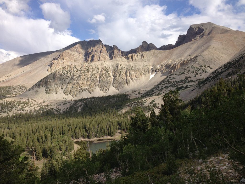
Challenging
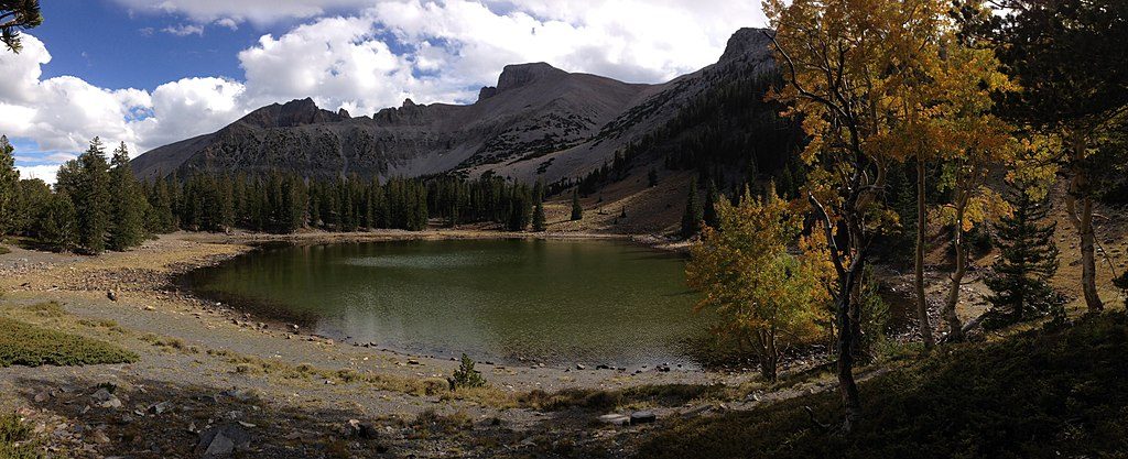
Easy
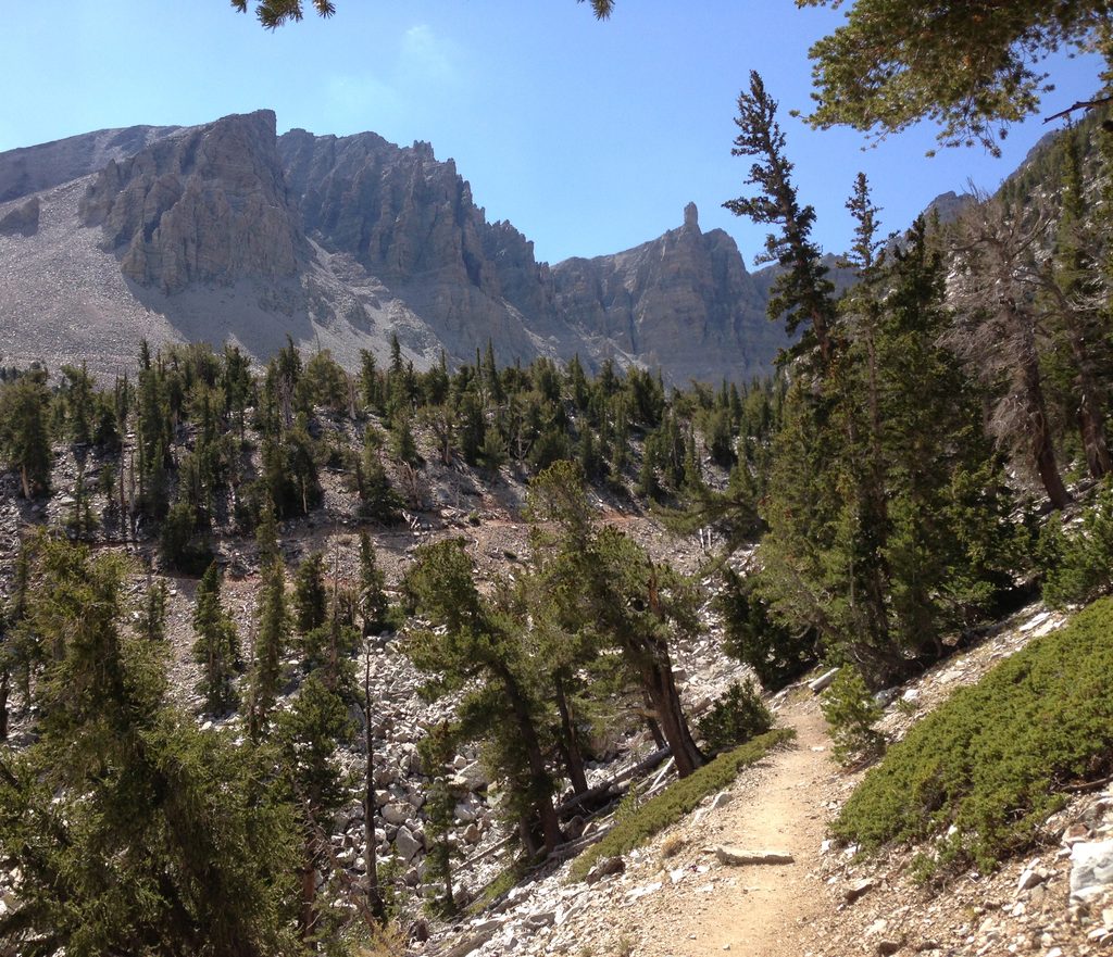
Moderate
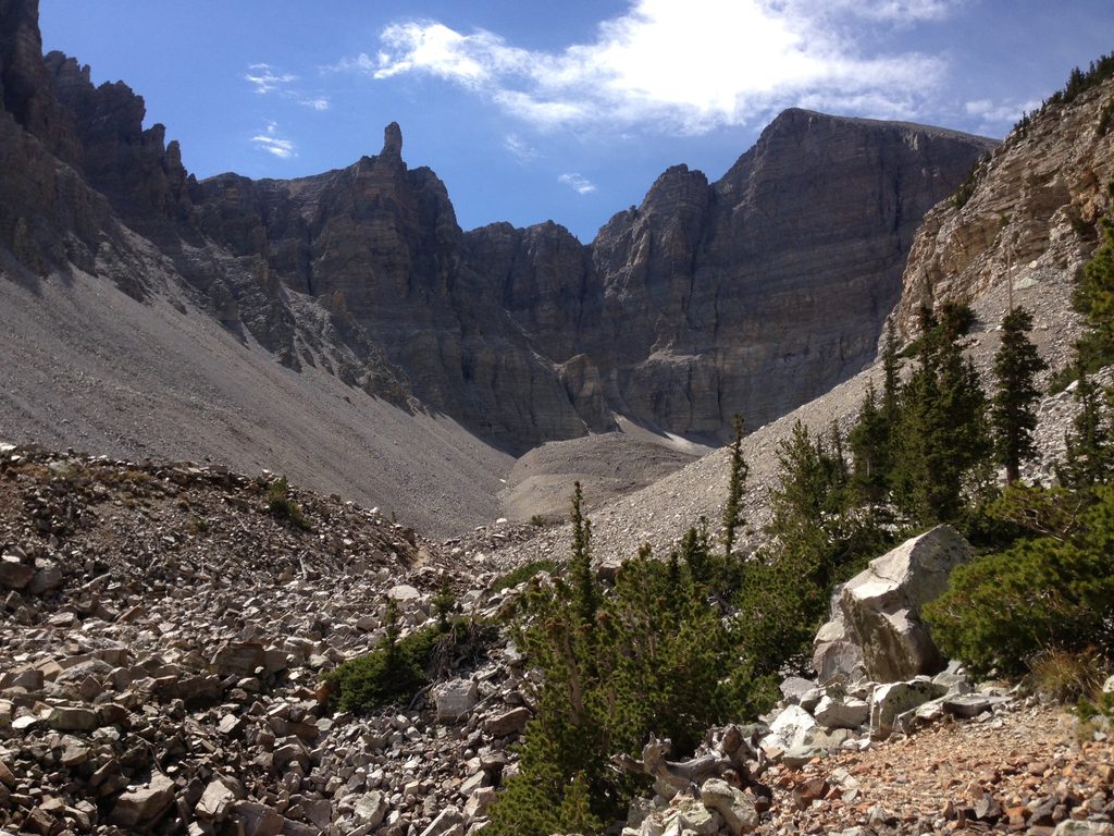
Moderate

Parkwolf Tour Guide
