
Place
Challenging
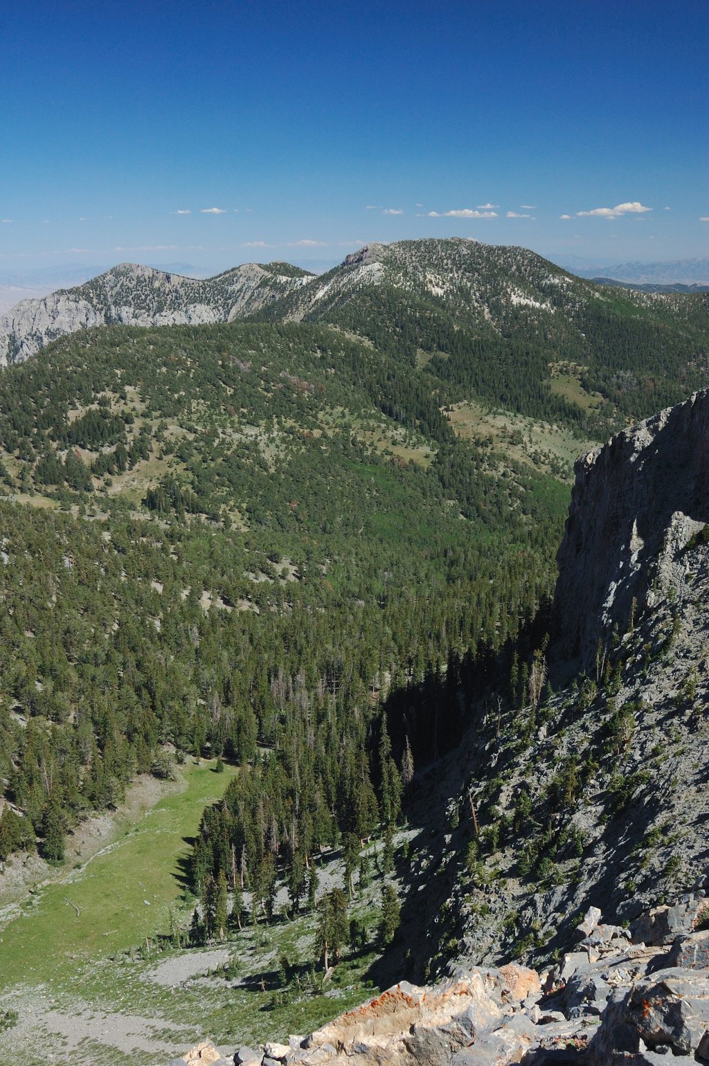
This is the park’s true backcountry ridge walk: a 14.6‑mile, point‑to‑point, largely unmarked route that follows the spine of the South Snake Range from Pyramid Peak to Decathon Canyon. It’s not a constructed trail—expect fragments of use path, long stretches of cross‑country travel, and “extreme elevation changes.” If you’re comfortable navigating by map/compass/GPS and managing exposure on broken ridgeline terrain, it’s a gem. If you want signage and tread, skip it.
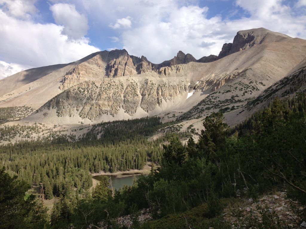
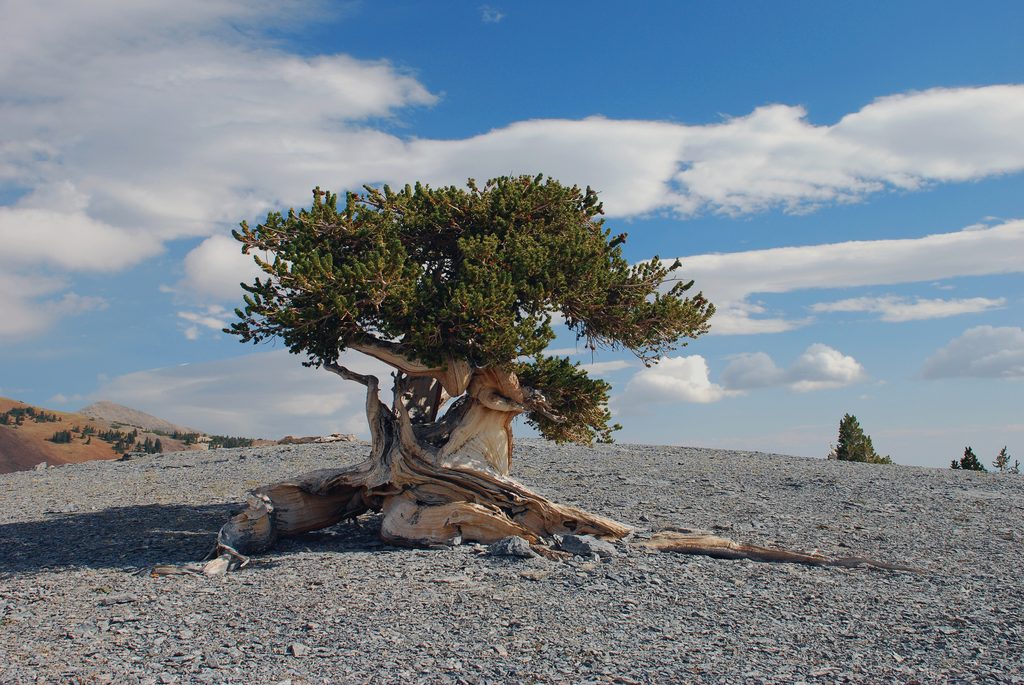
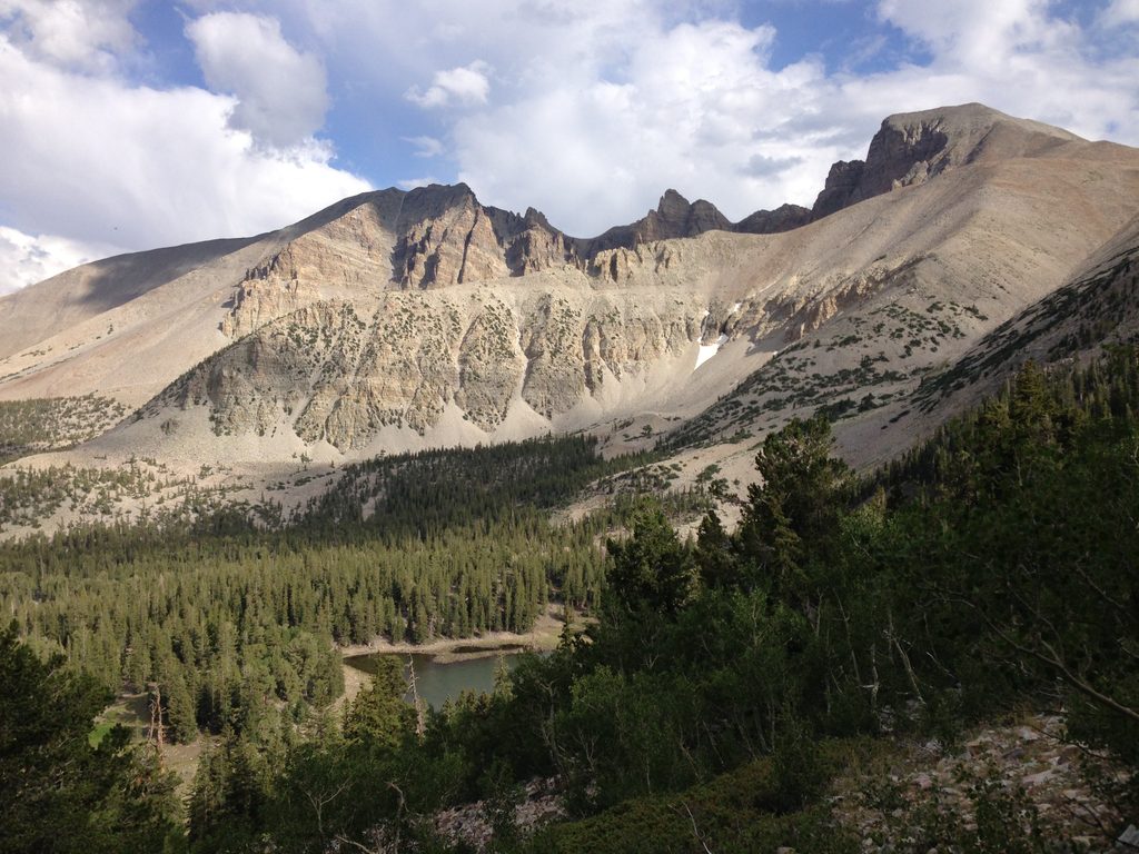
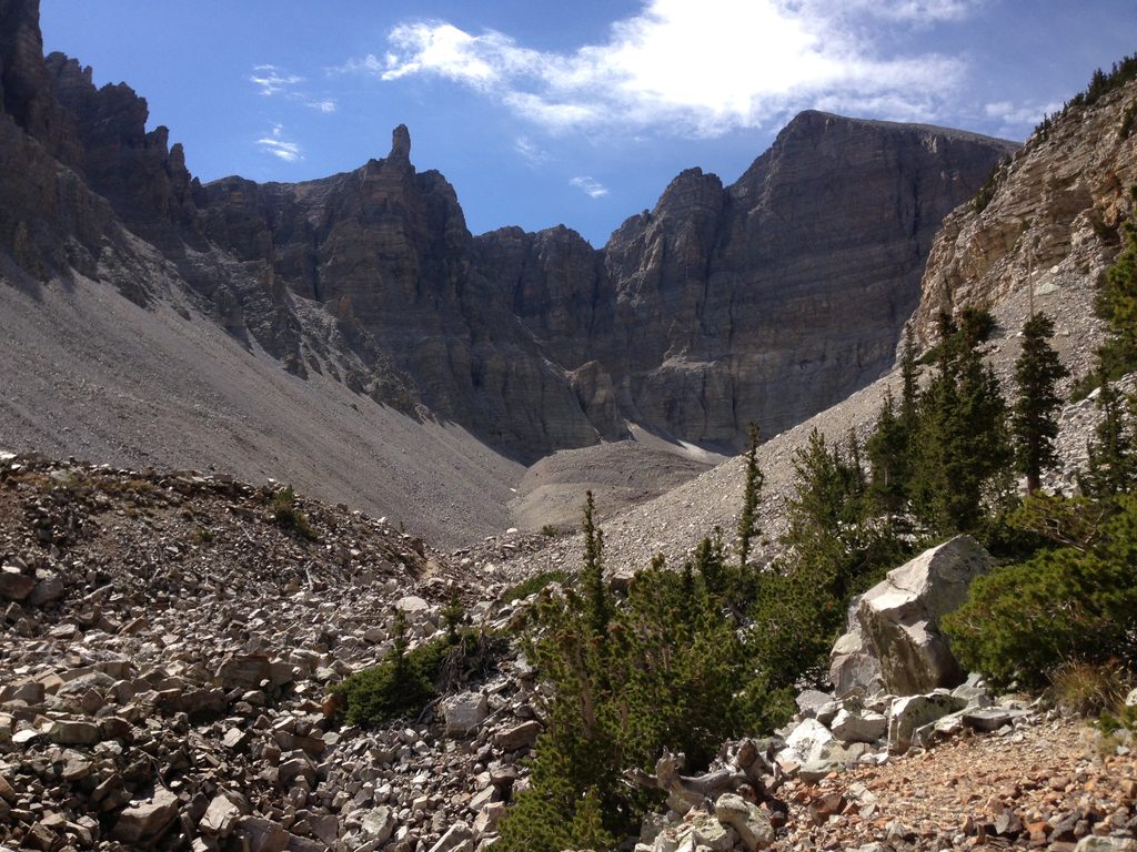
Big basin‑and‑range panoramas and amplified solitude are the calling cards here. Moving south over the crest, you’ll tag or pass near named high points like Pyramid Peak (with a short knife‑edge approach), Johnson Peak, Mount Washington’s dramatic limestone cliffs, and Mount Lincoln. The highlight for many is the bristlecone country around Mount Washington—ancient, wind‑twisted trees set against stark limestone. Farther south, you’ll walk through a landscape still shaped by the 2000 Phillips Ranch Fire.
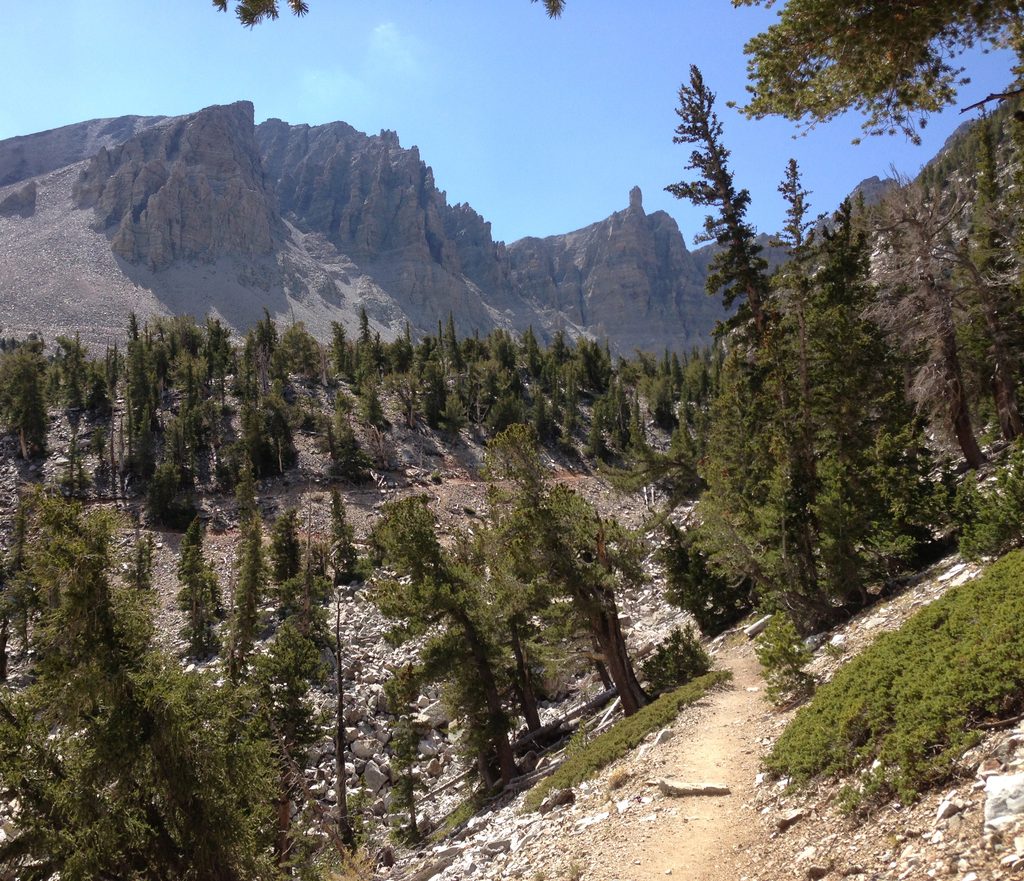
Underfoot, expect a mix of tundra, talus, scree, and occasional crumbly rock (notably around Lincoln). The most efficient line is often right on the literal crest, with minor detours around trees or cliff bands. Reports consistently note little to no cairning and only bits of use trail—so progress is slower and more tiring than the mileage suggests. Class 2 scrambling with exposure appears in short doses (especially near Pyramid). Solitude is the norm; hikers often see no one along these Highland Ridge sections, even on busy weekends elsewhere in the park.
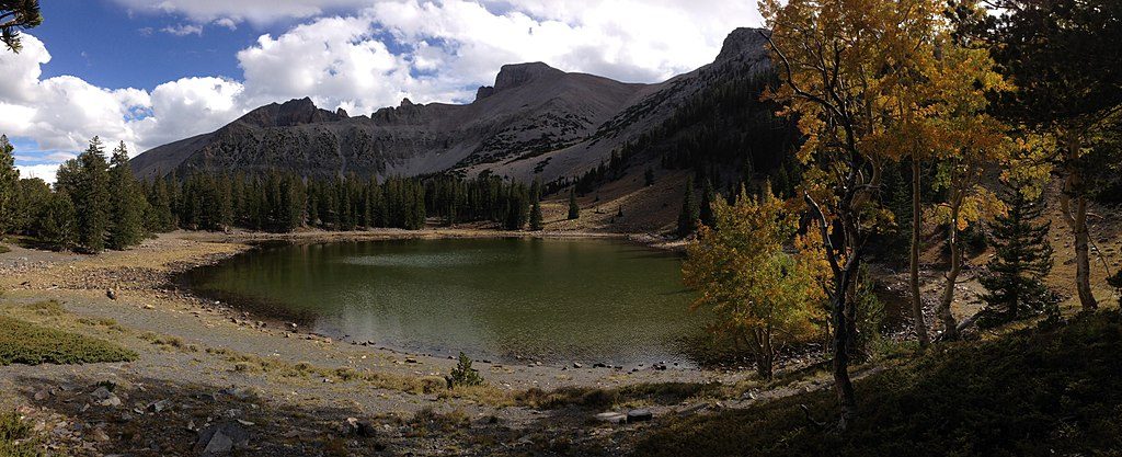
Water is scarce on the ridge. Many parties plan a single refill detour to Johnson Lake off the crest; otherwise, carry what you need. Fall hikers frequently note elk bugling along the crest—magical, but give rutting animals extra space. Pets are not permitted on this route.
Northern connections tie into the park’s central trail system near Baker Lake; southern access is via the Decathon Canyon “cherry‑stem” road at the south end of the route. Additional dirt‑road approaches in the area include John’s Wash and Murphy Wash, but expect unmaintained, hard‑to‑follow paths once you leave the road network. This corridor also interfaces with the adjacent Highland Ridge Wilderness to the south.
Late September into early October is a standout window: golden aspens on approaches, frequent elk bugling, and typically comfortable ridge travel reported by recent parties. The crest is exposed and often windy, so plan layers accordingly. Shoulder‑season weekdays amplify the already substantial solitude.
North access via connections near Baker Lake; south access at the upper end of the Decathon Canyon cherry-stem road. Additional dirt-road approaches include John’s Wash and Murphy Wash. Expect remote, unmaintained roads and no formal trailhead amenities on the ridge.
Exposed ridgeline with wind, short knife-edge sections, talus/scree and crumbly rock; no cairns or signage; very limited water on the crest; elk rut in fall—give animals space. Advanced navigation with map/compass/GPS is essential. No pets.
Place
Place
Place
Place
Challenging
Easy
Moderate
Moderate

Parkwolf Tour Guide
