
Place · 2.6 mi away
Moderate
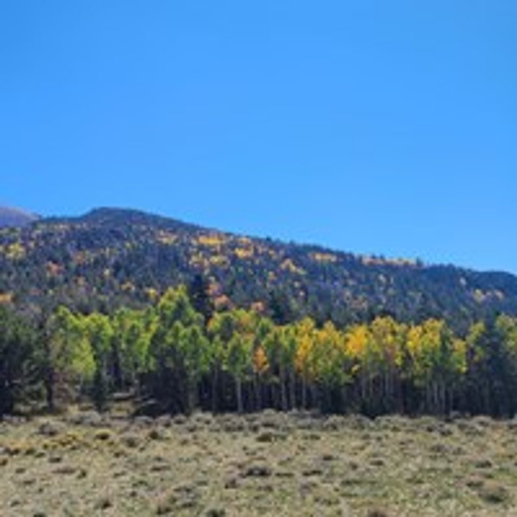
Strawberry Creek is the quiet side of the park—wildflowers in spring, elk in fall, and a landscape still recovering from the 2016 Strawberry Fire. What many visitors call the “Strawberry Creek Loop” is really two options from the same trailhead: a mellow loop through meadows and aspens (the park signs call this the Sage Steppe Loop), and a moderate extension that climbs the Upper Strawberry Trail to a saddle. If you do the loop plus the climb, you’re looking at roughly 4.1 miles total with about 1,280 feet of gain—enough to feel like a real hike without the crowds.
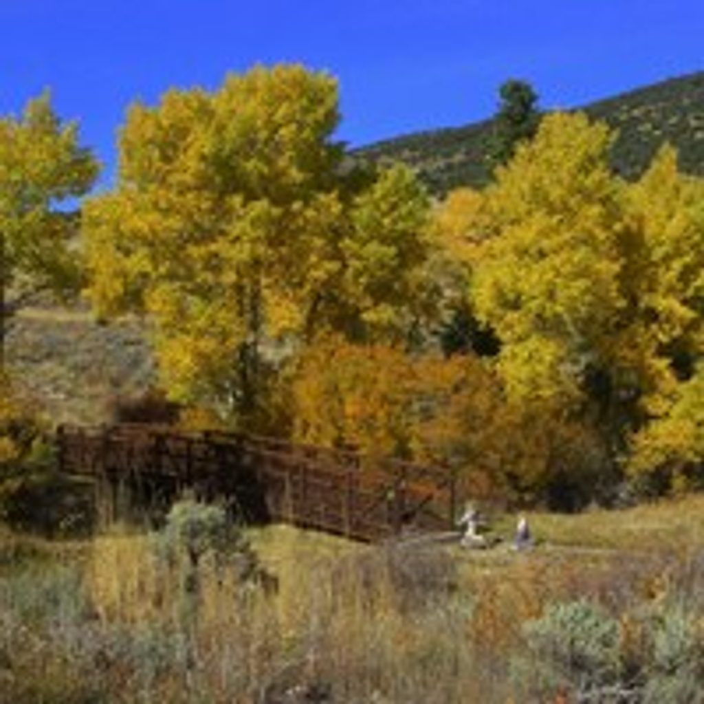
From the end of Strawberry Creek Road, the lower loop ambles through sage, aspen pockets, and creek-side meadows. Expect a mix of sun and shade, with some wooden footbridges on the loop’s south side. Continue onto the Upper Strawberry Trail to turn this into the signature outing: the first half-mile stays more exposed before you slip into cooler shade, then the grade steepens toward the ridge. You’ll encounter multiple natural stream crossings; many hikers turn around by the third crossing if they’re not in the mood for the steeper push.
This route is 4.1 miles total as an out-and-back/lollipop that uses the lower loop and climbs to a saddle, with about 1,280 feet of elevation gain. Plan on roughly 2–3 hours at a steady pace (up to 4 with photo and snack breaks). Look for a mosaic of young growth and standing snags—textbook post-fire regeneration—and wide spring displays of wildflowers in good years.
April through June is prime for flowers and flowing creeks. Fall brings standout aspen color and the chance to see (and hear) elk during the rut—go early or late in the day for your best odds and soft, flattering light. Summer afternoons can feel toasty on the exposed lower stretch; start early to enjoy cooler temps and quieter tread.
Access is via Strawberry Creek Road off US 6/50 north of Baker. The road starts paved, then turns to gravel/dirt with narrow, windy sections and some washboarding—fine in dry weather for most passenger cars, but slow down and be extra cautious after rain or snow. There’s a small designated parking area and a footbridge at the end of the road; no roadside parking. A pit toilet sits about 1.5 miles before the trailhead.
No potable water is available along Strawberry Creek Road—bring plenty (a gallon per person per day is a good benchmark). Cell service is spotty to non-existent. Expect occasional downed trees and respect any posted closures. Wildlife is a feature here, especially elk in fall; give them space (at least 150 feet) and the right of way. Pets are not allowed on these trails; trained service animals are permitted per park regulations.
If you’re after solitude, creek sounds, and classic Great Basin aspen country without committing to the highest-elevation trails, this is an underrated pick. Do the easy loop for a leg-stretcher, or add the Upper Strawberry climb for a satisfying, moderate half-day. If you need a dog-friendly alternative, consider the Lexington Arch Trail elsewhere in the park.
Small designated lot at the very end of Strawberry Creek Road with a footbridge to the trail; no roadside parking. Pit toilet is about 1.5 miles before the trailhead.
Gravel/dirt road with narrow, windy sections; use extra caution after rain or snow. Multiple natural stream crossings, standing dead trees from past fire, limited cell service, no potable water. Give elk extra space in fall and respect any posted closures.
Place · 2.6 mi away
Place · 2.8 mi away
Place · 2.8 mi away
Place · 3 mi away
Moderate · 0 mi away
Challenging · 2.6 mi away
Moderate · 2.6 mi away
Easy · 2.7 mi away

Parkwolf Tour Guide
