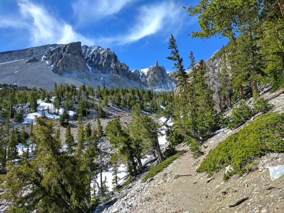
Parking
Use the Osceola Ditch roadside pull-off on Wheeler Peak Scenic Drive, about 4.5 miles up from Highway 488. Parking is limited. The drive generally closes in winter and after snowfall, so check access before heading up.
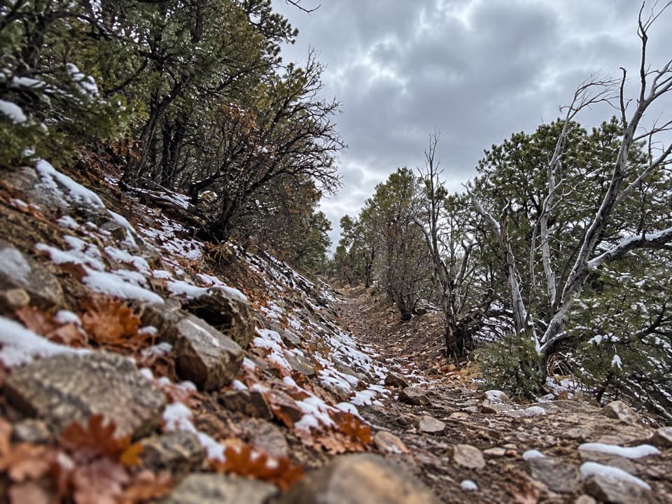
Great Basin National Park, NV
Follow a historic mining ditch to Mill Creek and back.
Overview
Map & elevation
Plan your hike

The highest, rockiest slopes around here are a summer buffet for grizzly bears.
Great Basin Tour Guide
Parkwolf is a GPS audio tour guide for Great Basin National Park. As you drive, it chimes in with what’s ahead: hidden gems, upcoming stops, history, geology, and wildlife, right through your car’s speakers.
See the Great Basin audio tourRecorded for this trailhead
Osceola Ditch Trailhead: Follow the Mining Water“You're coming up on Osceola Ditch Trailhead, for a mostly level history walk through the forest. Allow an hour and a half to two hours for the three-mile round trip to Mill Creek and back.”
Plays as you drive up to this trailhead in the Parkwolf Great Basin Tour Guide.
More stories near here in the app
“Fantastic app with many points of information… It’s great to just turn on while you’re driving and it gives you an audio tour of the national Park. We love it!!!!”


Trail guide
Osceola Ditch Trail is a 3-mile out-and-back from a roadside pull-off to Mill Creek. This description uses the newer park distance of 1.5 miles each way; an older park description calls it roughly a mile to the creek. Expect a mostly level dirt path with stones underfoot, and allow about 1.5 to 2 hours with time to stop. This is a history walk through montane forest, not a summit climb.
The path follows a cut channel across a forested slope. The ditch was built to carry water, so the route contours along the hillside instead of climbing straight up. The park describes it as relatively flat, though the tread is natural ground with rocks and uneven patches. Stay on the path to Mill Creek, then return the same way. The old wooden flume remnants are worth watching for beside the trail.
Gold mining on the west side of the Snake Range needed water. Construction of the East Ditch began in 1889 to bring water from Lehman Creek across the range; several hundred workers finished it in ten months. The larger system included 2.2 miles of wooden flume and a 633-foot tunnel near Strawberry Creek, beyond this Mill Creek walk. It was completed on July 4, 1890, at a cost of $108,223. Leaks and water shortages made it hard to keep the mines supplied, and mining had largely stopped by 1905. Weathered pieces of the original flume remain along this route.
Mill Creek is more than the turnaround. A remnant population of native Bonneville cutthroat trout was found here, prompting efforts to reintroduce the park’s only native trout to other streams in the Snake Range. The creek’s role in that recovery gives a short, quiet stop a bigger conservation story.
The trailhead is above 8,000 feet, where the park places this stop in the montane life zone. Piñon and juniper grow among white fir, ponderosa pine, and Douglas-fir. Listen for Cassin’s finch and the red-breasted nuthatch in the trees around the access.
Wildlife
 22 sightingsElkMost seen around 8 PMSighting map
 237 sightingsMule DeerMost seen around 6 AMSighting map
 186 sightingsWild TurkeyMost seen around 7 AMSighting map
 22 sightingsRattlesnakeMost seen around 6 PMSighting map
 23 sightingsDusky GrouseMost seen around 7 AMSighting map
 18 sightingsThree-toed WoodpeckerMost seen around 8 AMSighting map
Sighting maps show where each species has been reported across Great Basin. Wildlife moves, so no sighting is guaranteed.
Keep exploring
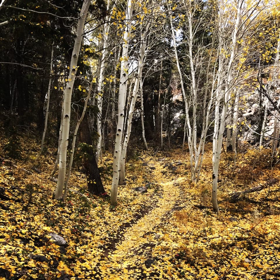 ChallengingLehman Creek Trail6.4 mi · 4.5 hr · 1.3 mi awayA 6.4-mile out-and-back climb through aspens to Wheeler Peak views.
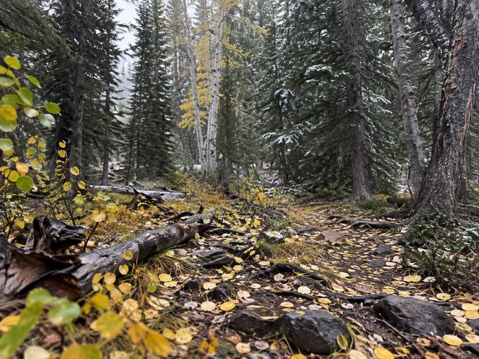 ModerateLower Lehman Trail1.1 mi · 45 min · 1.7 mi awayA short creekside walk with about 230 feet of climbing.
 ChallengingWheeler Peak Summit Trail8.6 mi · 7 hr · 2.1 mi awayAn exposed high-altitude climb to Nevada’s highest wholly in-state summit.EasyStella Lake via Wheeler Peak Trailhead2.5 mi · 1.5 hr · 2.1 mi awayA shaded alpine walk to a lake below Wheeler Peak.
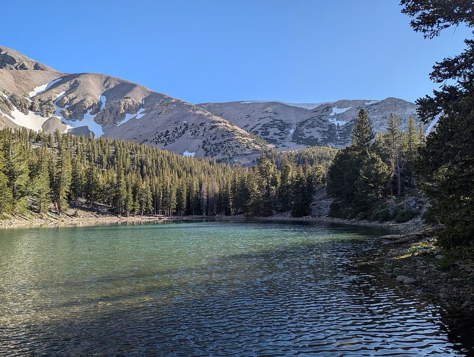 EasyAlpine Lakes Loop2.7 mi · 2.3 hr · 2.5 mi awayTwo alpine lakes and a Wheeler Peak backdrop reward the climb.
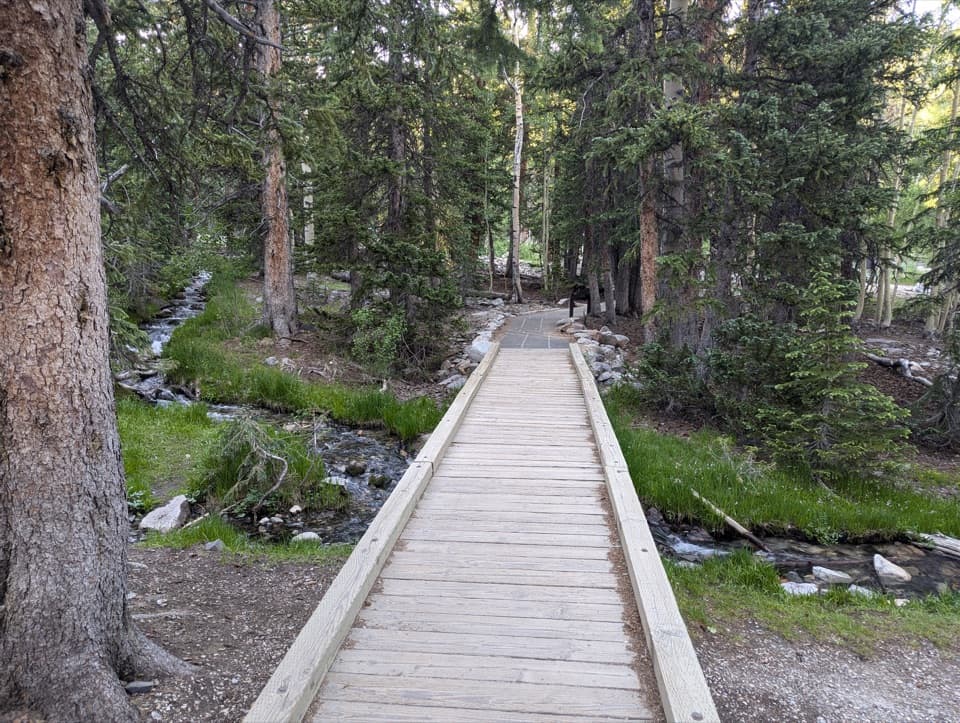 EasySky Island Forest Trail0.4 mi · 30 min · 2.5 mi awayA level boardwalk loop through a forest high above the desert.
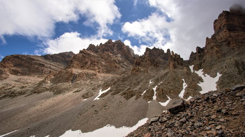 ModerateGlacier Trail4.8 mi · 3 hr · 2.5 mi awayAncient bristlecones lead into the rocky cirque of Nevada’s last glacier.
 ModerateBristlecone Trail2.8 mi · 2.3 hr · 2.5 mi awayAncient bristlecones reward a short climb above 10,000 feet.
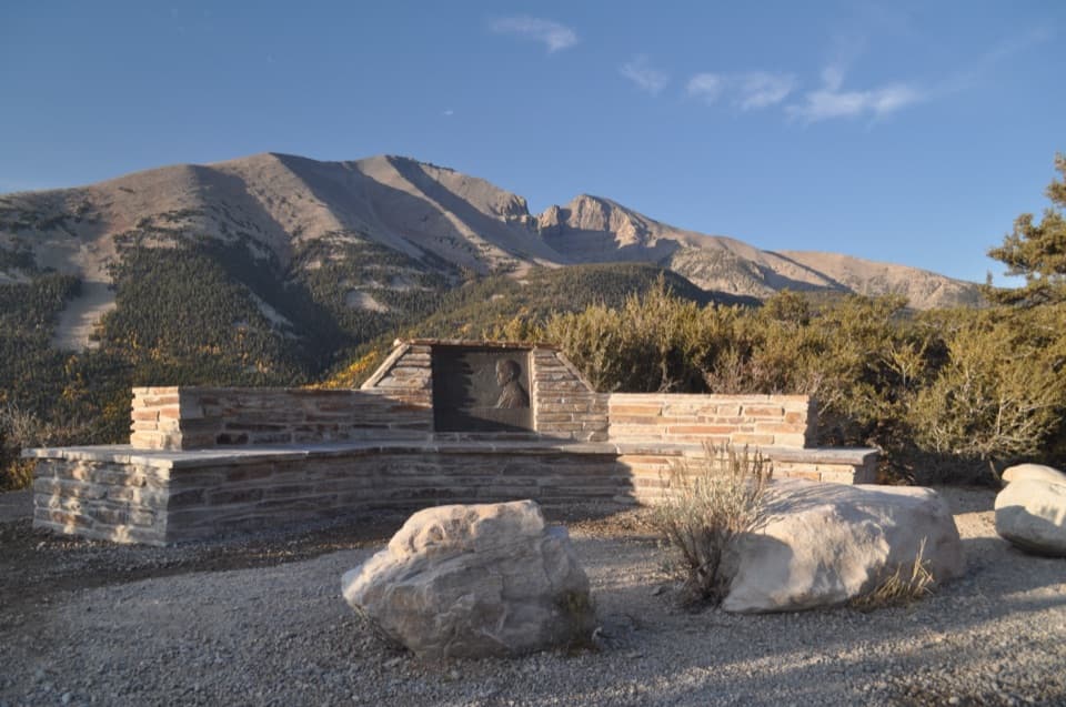 Sight · 0.7 mi awayMather OverlookA close look at Wheeler Peak's cirque and its mountain life zones.
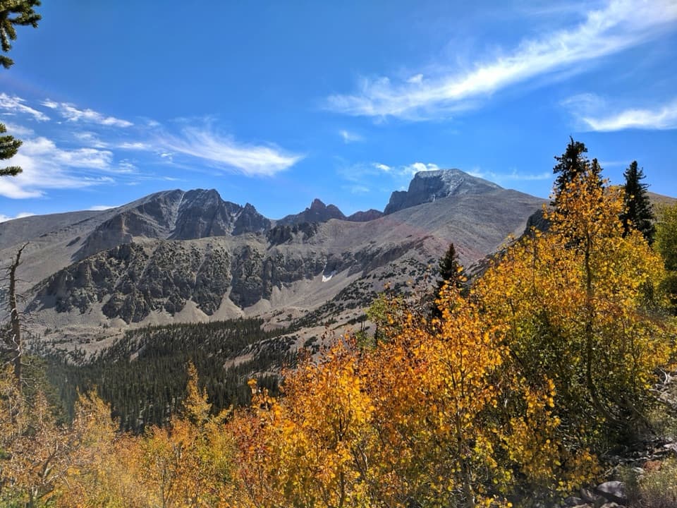 Sight · 1.1 mi awayWheeler Peak OverlookThe road's only look at an ice-filled rock glacier.
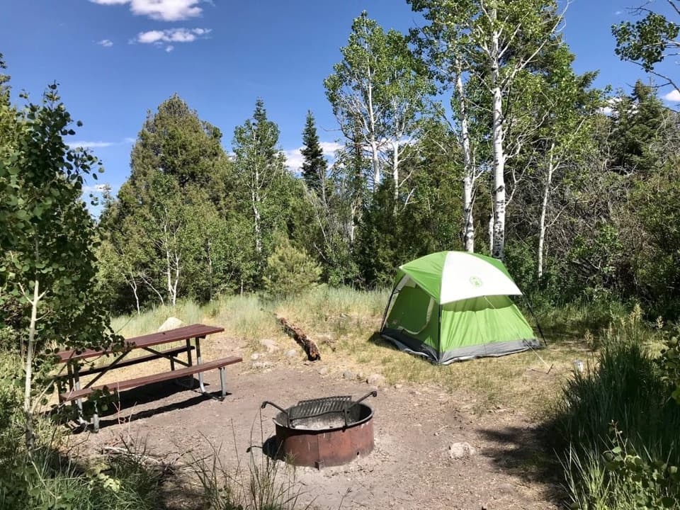 Campground · 1.5 mi awayUpper Lehman Creek CampgroundA wooded creekside base for the caves and high-country trails.Campground · 1.7 mi awayLower Lehman Creek CampgroundA year-round base for the caves and Wheeler Peak drive.
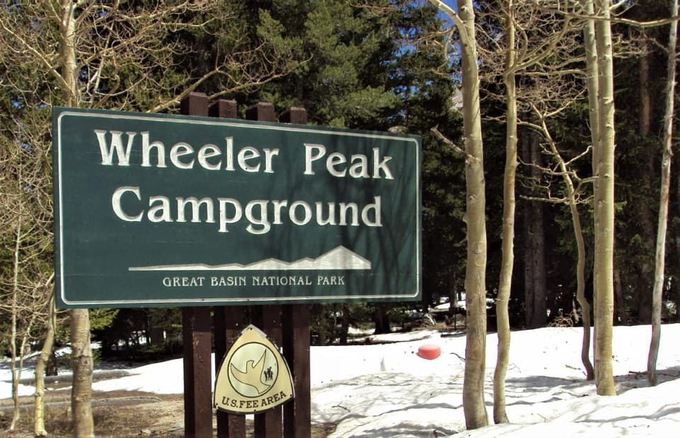 Campground · 2.3 mi awayWheeler Peak CampgroundCamp beneath Wheeler Peak at the National Park System's highest campground.Sight · 2.8 mi awayWheeler Peak Bristlecone GroveA high-country hike among bristlecones and glacial boulders.
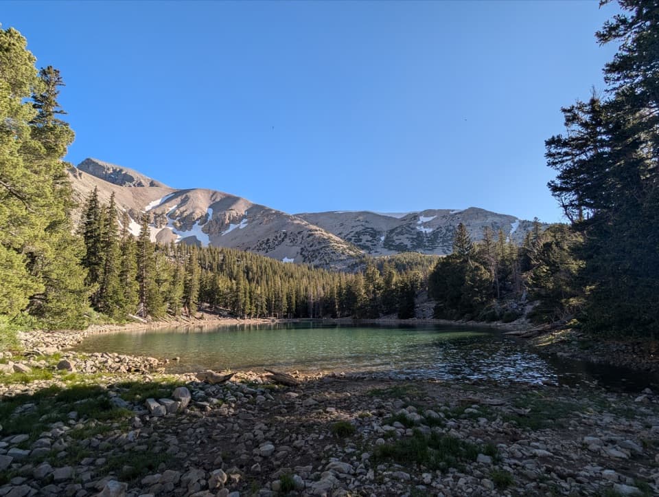 Sight · 3 mi awayTeresa LakeA short spur brings Wheeler Peak into the lake view.
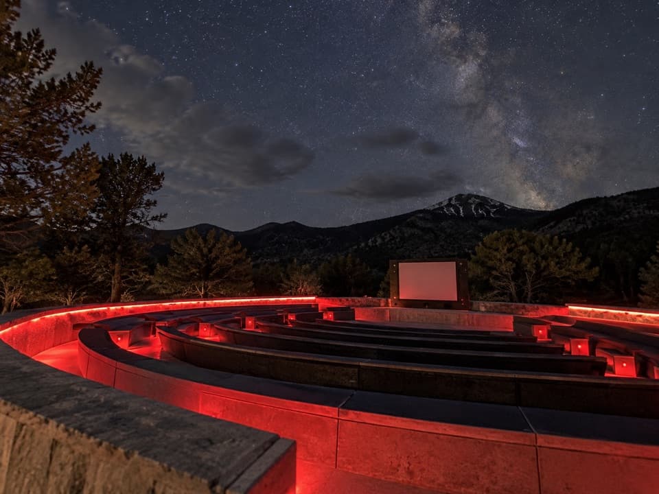 Sight · 3 mi awayAstronomy AmphitheaterA ranger talk, then telescope viewing beneath a dark sky.
Parkwolf’s Great Basin ranking

The audio tour guide for the drive, plus offline maps, trails, and wildlife heatmaps for when the signal drops.