
Place · 0.4 mi away
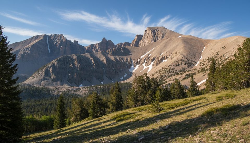
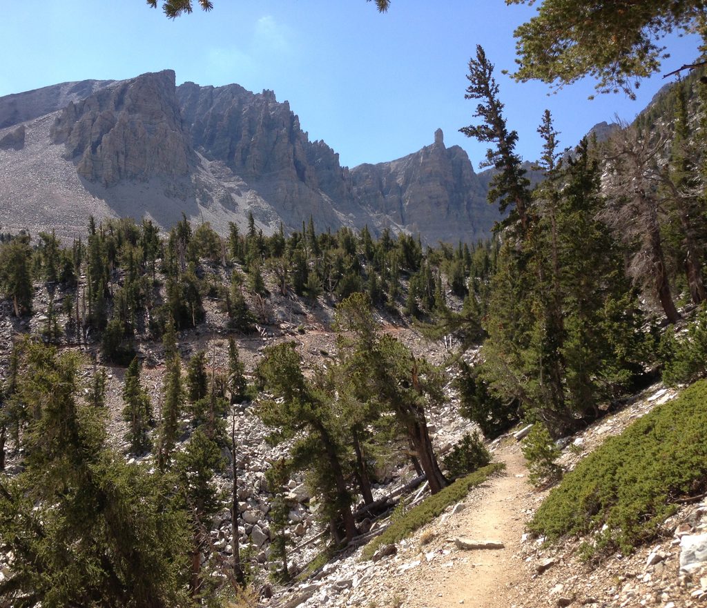
At the very end of the Wheeler Peak Scenic Drive, the Summit Trailhead launches you straight into Great Basin’s high country. It’s one of the few trailheads here you can reach entirely on pavement, and it sits around 10,100–10,300 feet—close enough to the alpine that you’re among big views and thin air almost immediately.
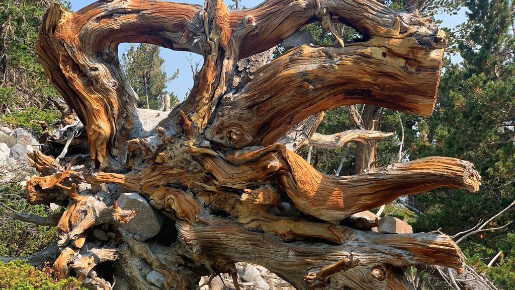
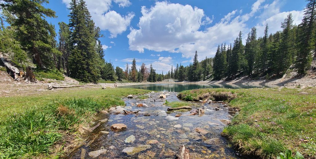
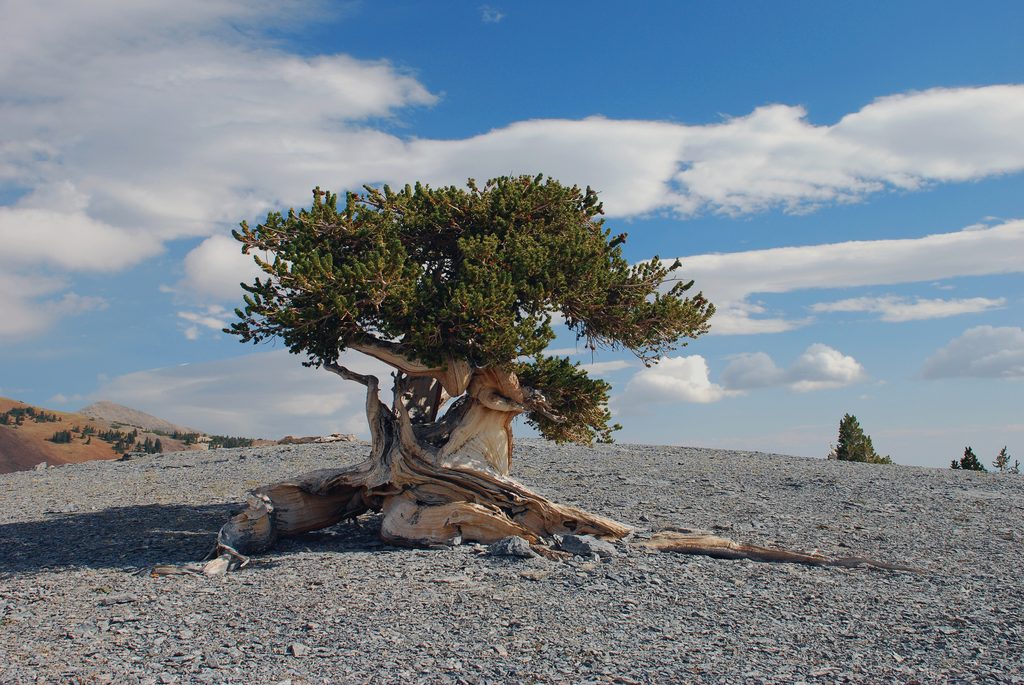
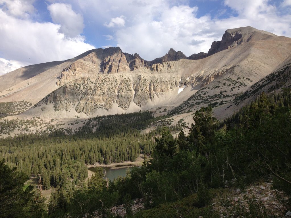
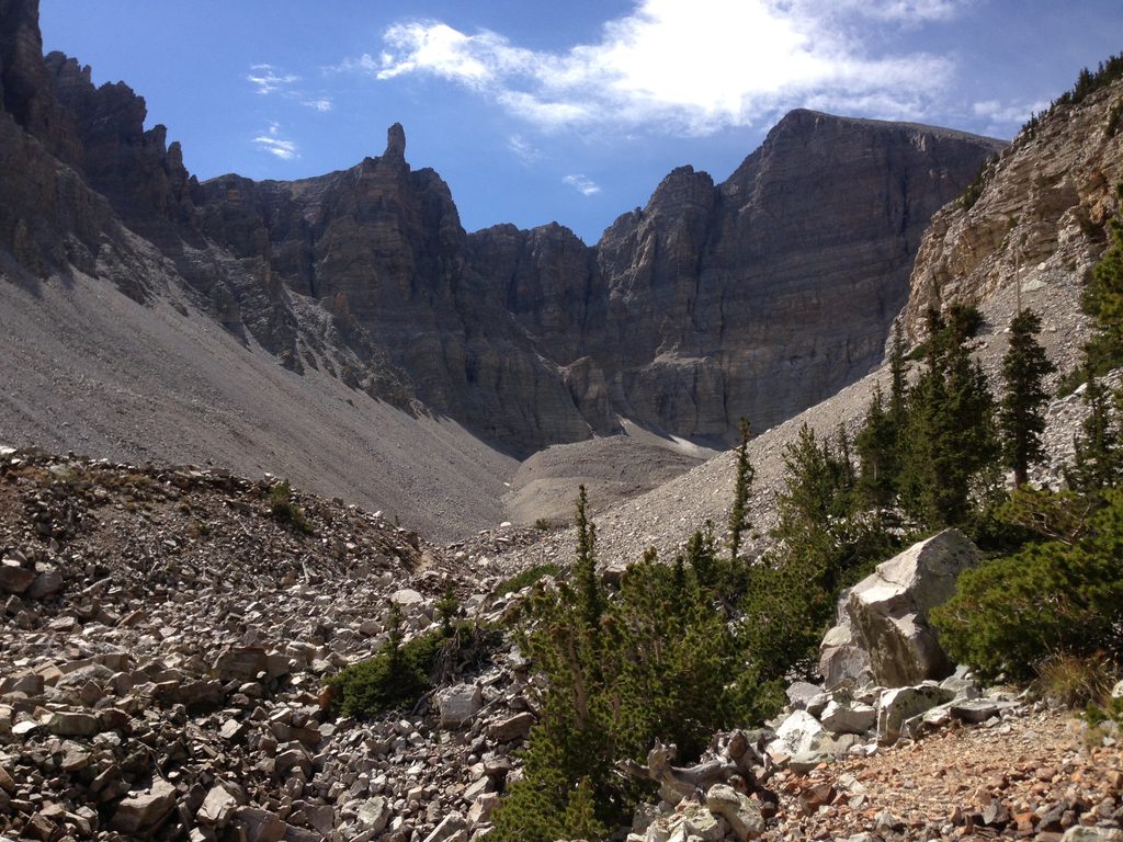
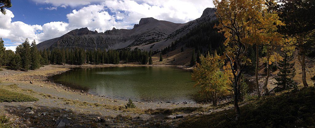
The marquee objective is the Wheeler Peak summit: roughly 8.5 miles round trip with about 2,900–3,000 feet of gain. It’s an exposed, high-altitude hike where winds can howl above treeline, so an early start and conservative pacing pay off. From this hub you can also link into the Alpine Lakes Loop and bristlecone country nearby, giving you rewarding options if you’re not chasing the summit.
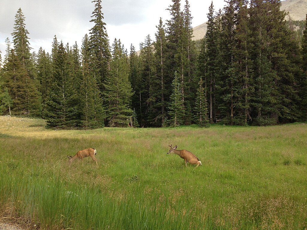
Expect classic Basin-and-Range scenery: sky-island forests giving way to rugged ridgelines and sweeping vistas. The alpine zone can feel raw—rocky, windy, and wide open. Keep an eye out for wildlife; hikers report mule deer along the way. The surrounding peaks and valleys are part of a metamorphic core complex shaped by a major low-angle fault, which is why the high country exposes such deep, dramatic geology.
This is a high-elevation road and trailhead that can be affected by weather; the scenic drive may close due to conditions, especially outside summer. In summer, afternoon thunderstorms are common—be off the ridge early. Even in warm months, lingering snow patches and strong winds aren’t unusual. Altitude is a factor for most visitors; plan extra time, hydrate, and consider acclimating on lower trails first.
Count on limited parking that fills early on weekends and summer days. There’s a hiker register and trash receptacles, but don’t expect water; fill bottles before you drive up. Restrooms are not confirmed at the trailhead—use facilities at the visitor centers beforehand.
For both parking and weather, sunrise starts are golden. Weekdays are typically quieter than weekends, and mid-mornings can feel busy in peak season. Early light is flattering on the peaks, and you’ll be heading down before the usual afternoon wind and storm cycle ramps up.
Place · 0.4 mi away
Place · 0.5 mi away
Place · 1.1 mi away
Place · 1.1 mi away
Challenging · 0 mi away
Moderate · 0 mi away
Easy · 0.5 mi away
Moderate · 0.5 mi away

Parkwolf Tour Guide
