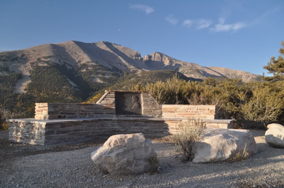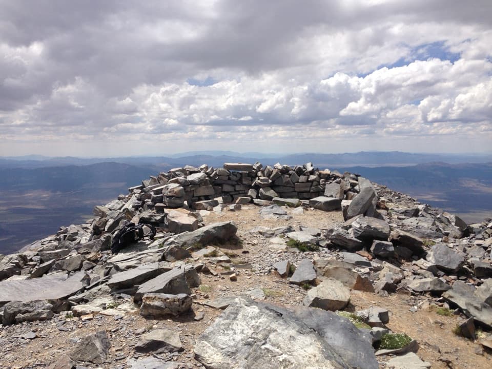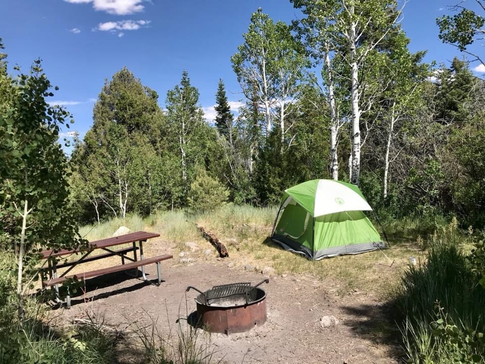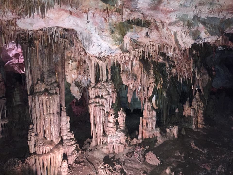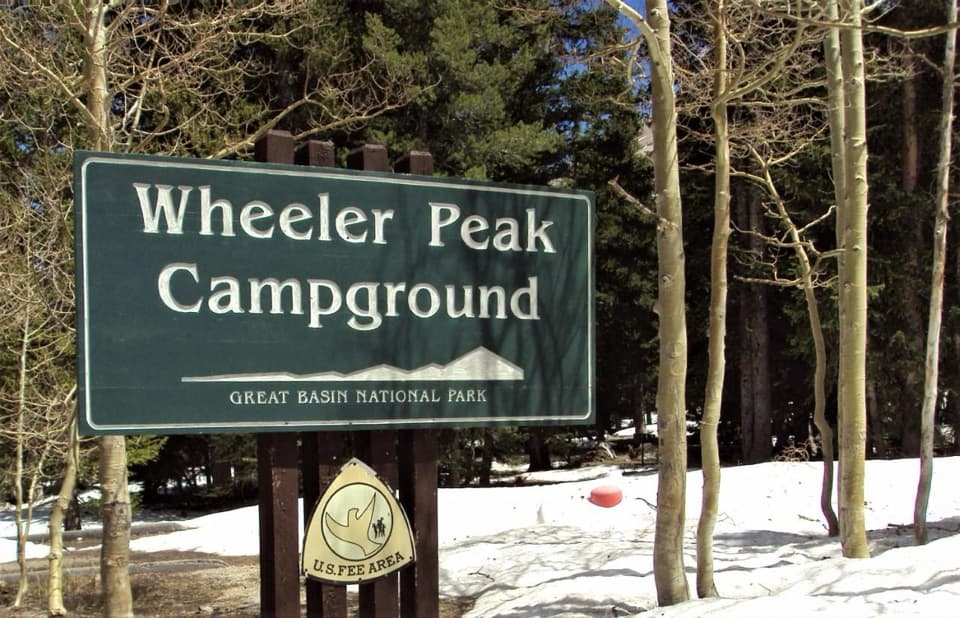
Wheeler Peak Campground in Great Basin National Park

Campground · Great Basin National Park

Wheeler Peak Campground

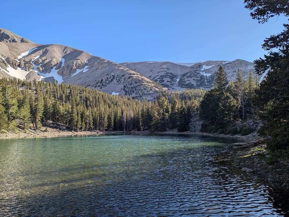
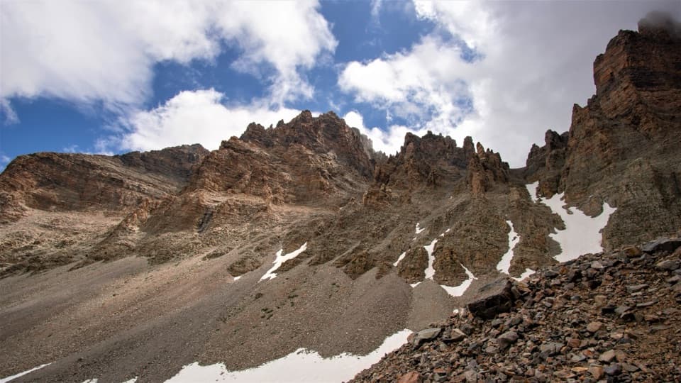
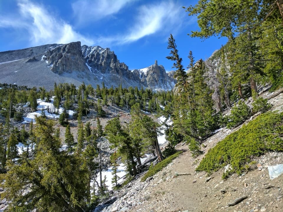
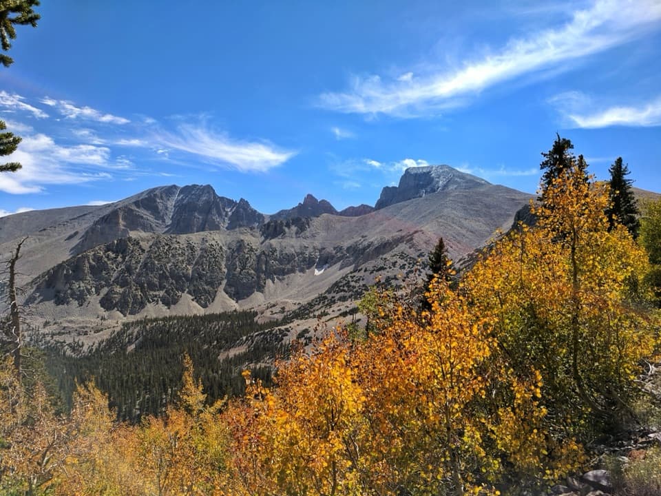
Camp beneath Wheeler Peak at the National Park System's highest campground.

Photo: National Park Service
Type
Campground
Nearest trail
0.2 mi
Audio stories
5 nearby
  • Restrooms
  • Parking
  • Picnic tables
  • Trailhead

Hear the audio tour

Bristlecone Trailhead: The Grove Walk

Overview

About Wheeler Peak Campground

Why stop

  • High mountain setting with meadow, creek and peak views
  • Trail access starts just outside the entrance

Heads up

  • No potable water, hookups, showers or dump station
  • 24-foot limits apply to vehicles and towed units on the scenic drive

Map

Where it is

Loading the Great Basin map
Full map
CampgroundWheeler Peak Campground39.01137, -114.30378
Keep this map with you offline in the Parkwolf app

Plan your stop

Before you go

3 active Great Basin alerts

  • ClosureWheeler Peak Scenic Drive closed at Mather OverlookMentions Wheeler Peak Scenic Drive, referenced in this guideWheeler Peak Scenic Drive is closed at Mather Overlook because of incoming inclement weather and the seasonal winter closure. Check current park road conditions before traveling.Official details
  • CautionNo potable water in park campgroundsNo water is available in any Great Basin National Park campground; bring drinking water for camping.Official details

See all 3 alerts
A park ranger sits on a dash-mounted phone, talking, as Parkwolf’s Tour Guide plays “Army Cutworm Moths: A Grizzly Bear Buffet” on Grand Loop Road below Dunraven Pass in Yellowstone
Parkwolf Tour GuideThe highest, rockiest slopes around here are a summer buffet for grizzly bears.

Great Basin Tour Guide

Your drive to Wheeler Peak Campground, narrated.

Parkwolf is a GPS audio tour guide for Great Basin National Park. As you drive, it chimes in with what’s ahead: hidden gems, upcoming stops, history, geology, and wildlife, right through your car’s speakers.

See the Great Basin audio tour

Recorded for this place

Bristlecone Trailhead: The Grove Walk
0:00 / 0:27
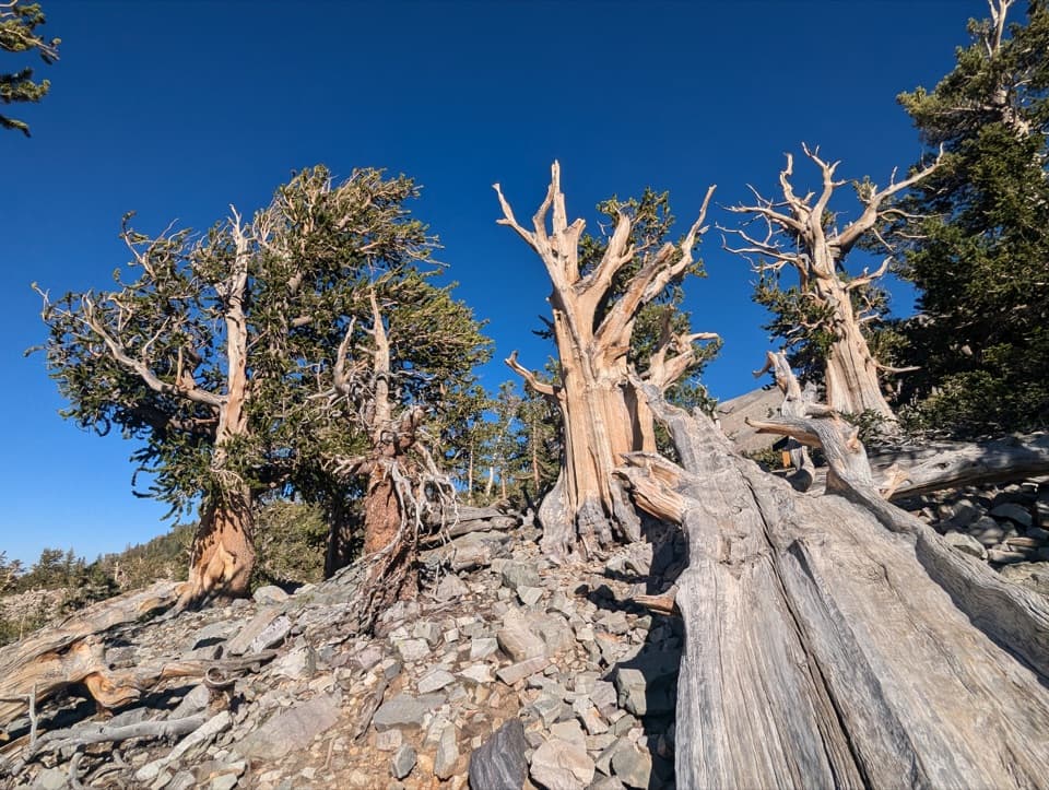
“Up ahead is Bristlecone Trailhead, where I'd choose the hike to Wheeler Peak's bristlecone grove.”

Plays as you drive up to Wheeler Peak Campground in the Parkwolf Great Basin Tour Guide.

More stories near here in the app

  • Wheeler Peak Summit Trailhead: A Full Hiking Day
  • Wheeler Peak Overlook: Find the Rock Glacier
  • Mather Overlook: Match the Map to the Mountain
  • Mountains Pulled Apart
  • 36 audio storiesacross Great Basin’s roads, triggered by GPS as you drive
  • Wildlife heatmapsfor Elk, Mule Deer, Wild Turkey, and 13 more
  • Works offlinemaps, 29 trails, 29 places, and audio download before you lose signal
  • CarPlay readysimple controls built for the drive
★★★★★
“Fantastic app with many points of information… It’s great to just turn on while you’re driving and it gives you an audio tour of the national Park. We love it!!!!”
JMJamesApp Store review
Download Parkwolf on the App StoreGet Parkwolf on Google Play

4.7 from 8,600+ ratings

Guide

More about Wheeler Peak Campground

A high alpine base campWheeler Peak Campground is a developed 37-site campground at 9,886 feet, beneath Wheeler Peak.

Wheeler Peak Campground is a developed 37-site campground at 9,886 feet, beneath Wheeler Peak. The National Park Service identifies it as the highest-elevation campground in the National Park System. Aspen, spruce, limber pine, a high mountain meadow and Lehman Creek shape the setting. Expect cold nights even in summer.

Plan for a rustic stayThere is no potable water, hookups, dump station, shower or camp store, so bring drinking water…

There is no potable water, hookups, dump station, shower or camp store, so bring drinking water and arrive equipped. Sites have picnic tables, fire rings and grills; vault toilets and trash service are seasonal. Reservations are currently required through Recreation.gov. Neither a vehicle nor its towed unit may exceed 24 feet on the winding Wheeler Peak Scenic Drive and campground road. NPS lists some accessible campsites, but confirm individual site details before booking.

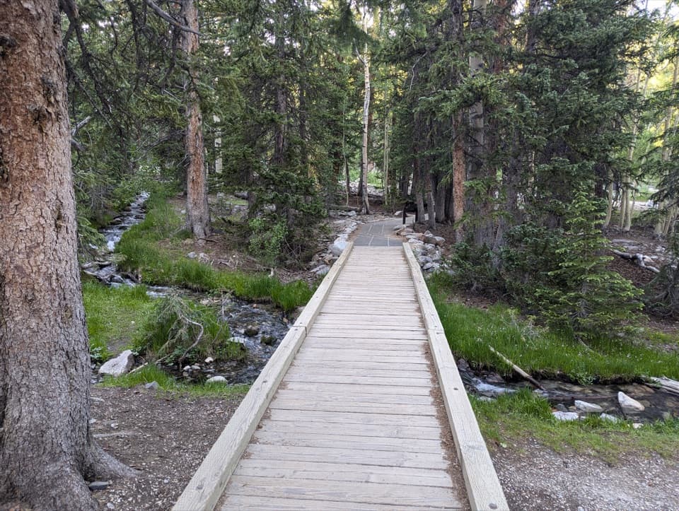
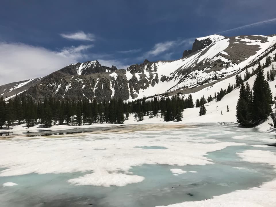
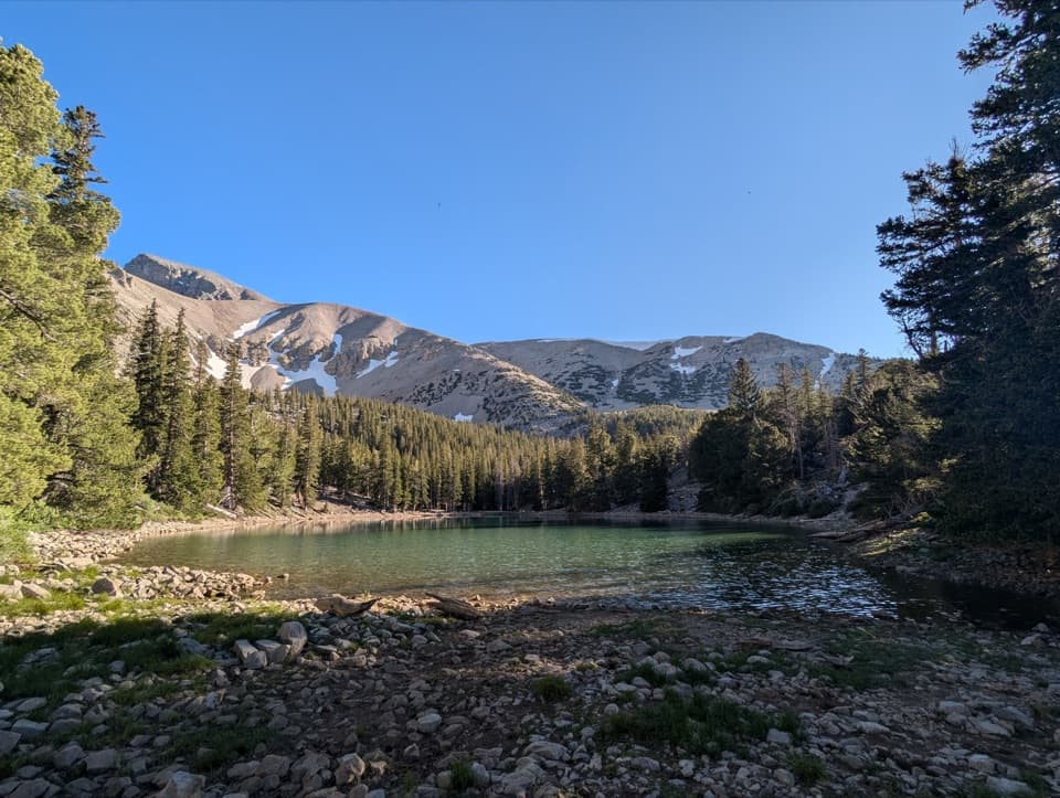
Trails from the entranceThe Bristlecone Trail and Alpine Lakes Loop begin just outside the campground entrance.

The Bristlecone Trail and Alpine Lakes Loop begin just outside the campground entrance. The accessible Sky Island Nature Trail is a shorter 0.4-mile walk. Take time to adjust to the elevation before heading higher into the alpine zone.

Two loops in a mountain valleyA one-way paved road follows the terrain through two loops and parking spurs to 37 sites,…

A one-way paved road follows the terrain through two loops and parking spurs to 37 sites, spaced about 100 feet apart on average. Lower sites sit along Lehman Creek among aspen and spruce, central sites face an aspen-bordered meadow with Wheeler Peak beyond, and upper sites are among limber pines. Some campsite surfaces are gravel or dirt and can be sloped, so check individual site details if level tent space matters.

A Forest Service campgroundThe Forest Service built the campground between 1966 and 1971, while the land was part of…

The Forest Service built the campground between 1966 and 1971, while the land was part of Humboldt National Forest. Its curving road, parking spurs and separated sites follow campground-planning ideas developed in the 1930s, paired with mid-century Modernist design. The result is a layout shaped around the natural topography rather than a flat grid.

Wildlife

Wildlife in Great Basin

All Great Basin wildlife maps

Sighting maps show where each species has been reported across Great Basin. Wildlife moves, so no sighting is guaranteed.

Keep exploring

Near Wheeler Peak Campground

See it all on the map

Trails nearby

More stops nearby

Parkwolf’s Great Basin ranking

Top sights in Great Basin

All 29 places
  1. 1Lehman CavesSight
  2. 2Wheeler Peak Bristlecone GroveSight
  3. 3Wheeler PeakSight
  4. 4Mather OverlookSight
  5. 5Wheeler Peak OverlookSight
  6. 6Astronomy AmphitheaterSight

Take Parkwolf to Great Basin.

The audio tour guide for the drive, plus offline maps, trails, and wildlife heatmaps for when the signal drops.

4.7 from 8,600+ ratings

Download Parkwolf on the App StoreGet Parkwolf on Google Play