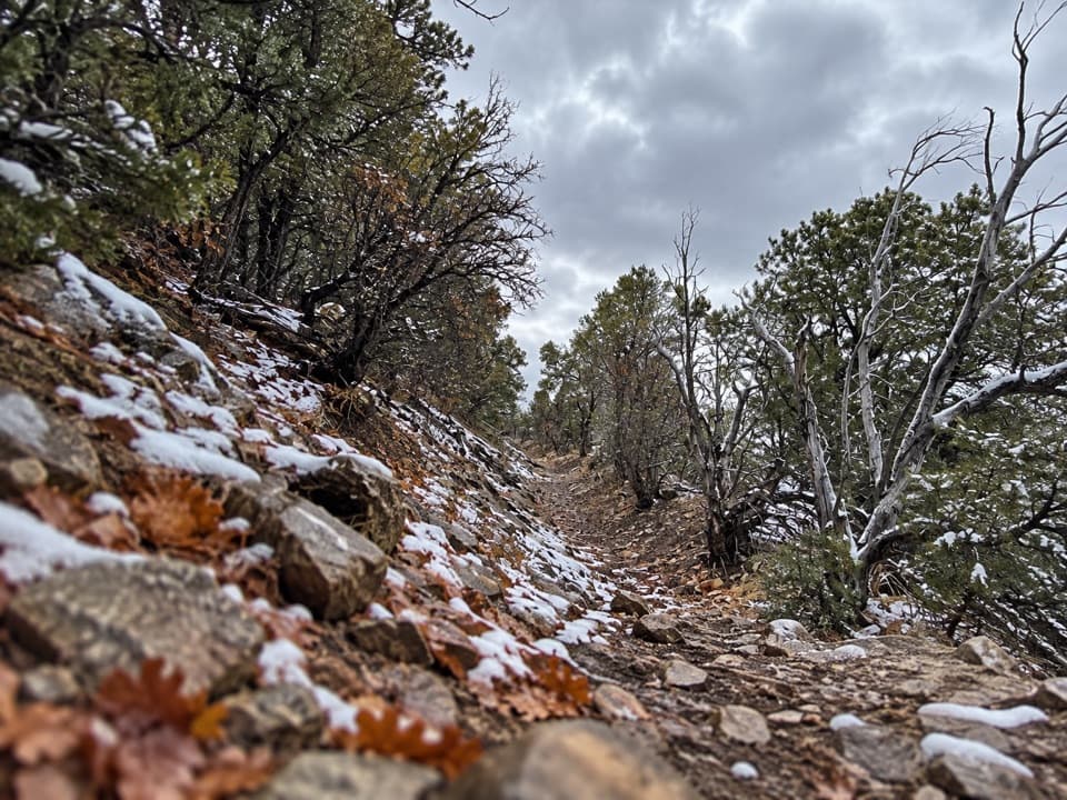
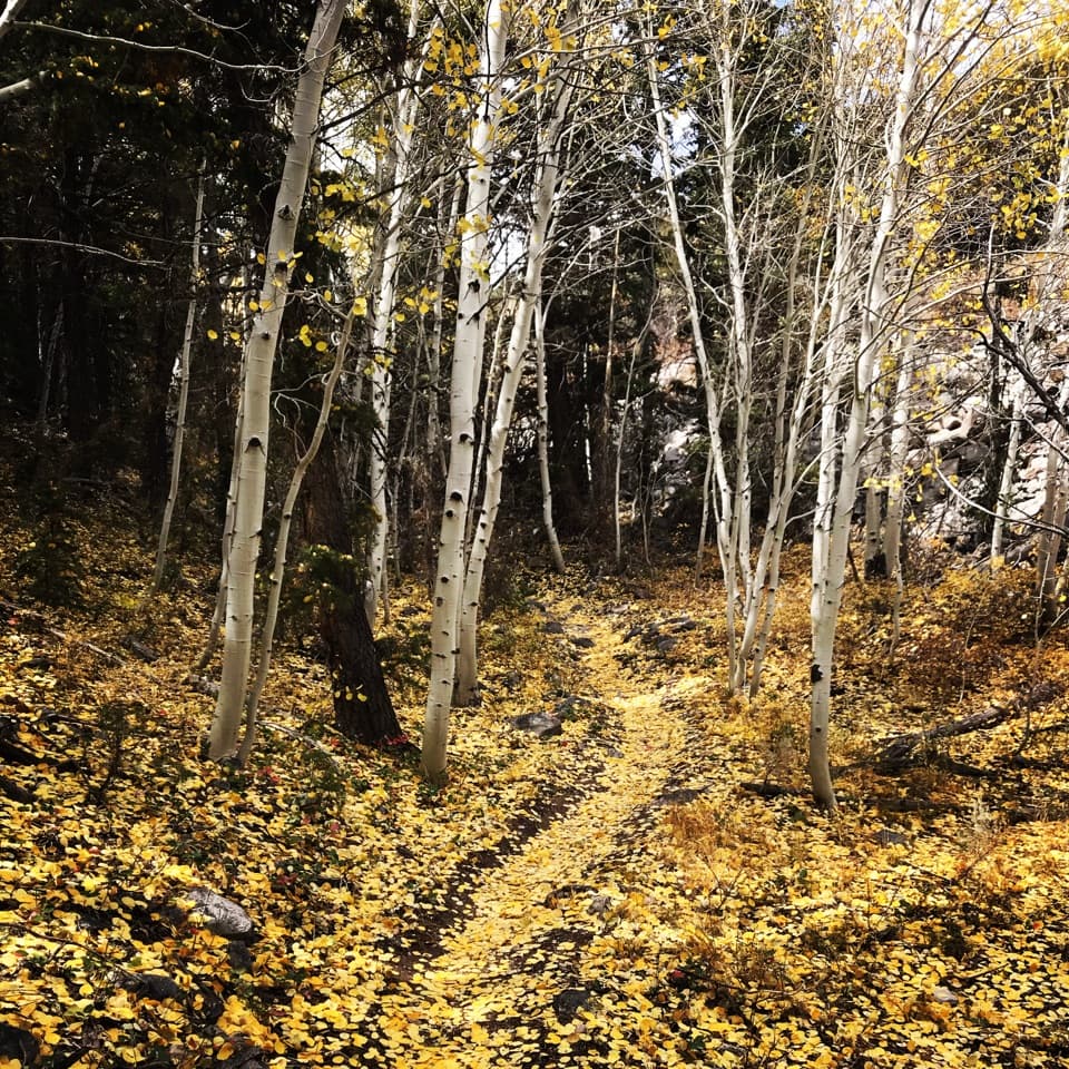
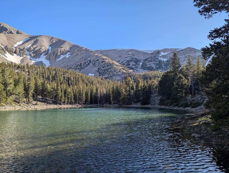
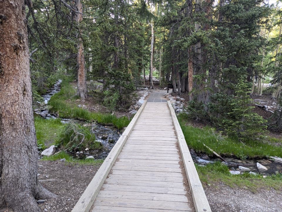
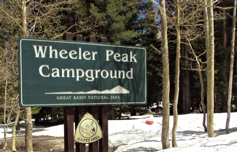
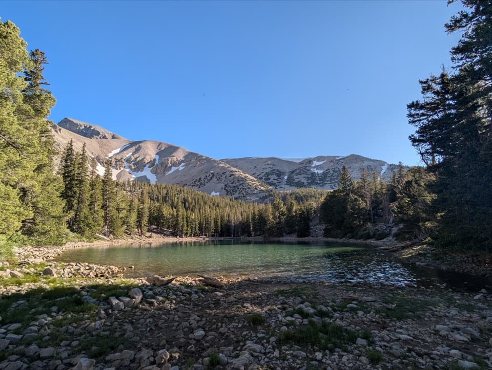
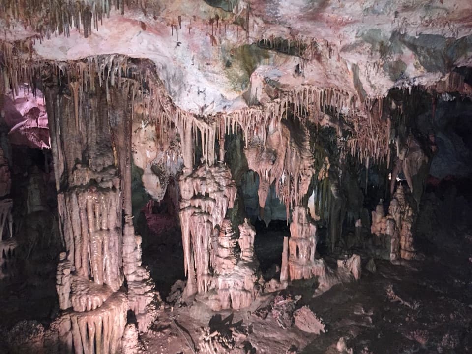
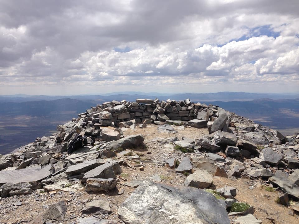
Mather Overlook in Great Basin National Park

#4 of 19 sights in Great Basin

Sight · Great Basin National Park

Mather Overlook

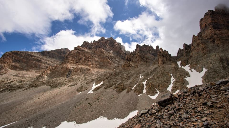
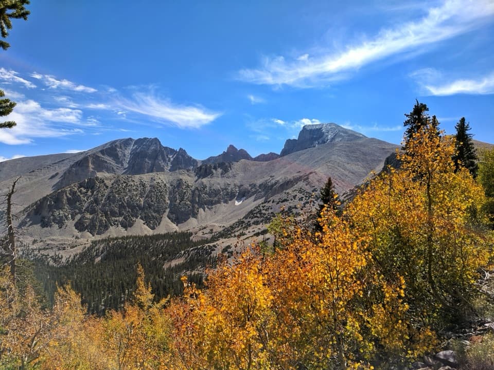
A close look at Wheeler Peak's cirque and its mountain life zones.

Photo: National Park Service
Type
Sight
Nearest trail
0.7 mi
Audio stories
10 nearby
  • Parking
  • Restrooms
  • Scenic viewpoint
  • Exhibit

Hear the audio tour

Mather Overlook: Match the Map to the Mountain

Overview

About Mather Overlook

Why stop

  • The tactile terrain model and geology panels make this more than a quick viewpoint.

Heads up

  • Seasonal road access can be cut off by snow.

Map

Where it is

Loading the Great Basin map
Full map
SightMather Overlook39.02035, -114.27476
Keep this map with you offline in the Parkwolf app

Plan your stop

Before you go

3 active Great Basin alerts

  • ClosureWheeler Peak Scenic Drive closed at Mather OverlookMentions this placeWheeler Peak Scenic Drive is closed at Mather Overlook because of incoming inclement weather and the seasonal winter closure. Check current park road conditions before traveling.Official details
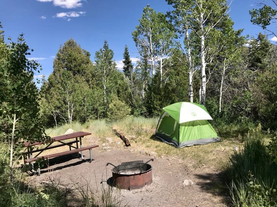
  • CautionNo potable water in park campgroundsNo water is available in any Great Basin National Park campground; bring drinking water for camping.Official details
See all 3 alerts
A park ranger sits on a dash-mounted phone, talking, as Parkwolf’s Tour Guide plays “Army Cutworm Moths: A Grizzly Bear Buffet” on Grand Loop Road below Dunraven Pass in Yellowstone
Parkwolf Tour GuideThe highest, rockiest slopes around here are a summer buffet for grizzly bears.

Great Basin Tour Guide

Your drive to Mather Overlook, narrated.

Parkwolf is a GPS audio tour guide for Great Basin National Park. As you drive, it chimes in with what’s ahead: hidden gems, upcoming stops, history, geology, and wildlife, right through your car’s speakers.

See the Great Basin audio tour

Recorded for this place

Mather Overlook: Match the Map to the Mountain
0:00 / 0:18
“You're nearing Mather Overlook, with a wheelchair-accessible boardwalk and no approach hike. Stop for the view across the forest to Wheeler Peak's cirque, the bowl carved by glaciers.”

Plays as you drive up to Mather Overlook in the Parkwolf Great Basin Tour Guide.

More stories near here in the app

  • Osceola Ditch Trailhead: Follow the Mining Water
  • Food in the Dark
  • Wheeler Peak Overlook: Find the Rock Glacier
  • Mountains Pulled Apart
  • 36 audio storiesacross Great Basin’s roads, triggered by GPS as you drive
  • Wildlife heatmapsfor Elk, Mule Deer, Wild Turkey, and 13 more
  • Works offlinemaps, 29 trails, 29 places, and audio download before you lose signal
  • CarPlay readysimple controls built for the drive
★★★★★
“Fantastic app with many points of information… It’s great to just turn on while you’re driving and it gives you an audio tour of the national Park. We love it!!!!”
JMJamesApp Store review
Download Parkwolf on the App StoreGet Parkwolf on Google Play

4.7 from 8,600+ ratings

Guide

More about Mather Overlook

On the Wheeler Peak Scenic DriveMather Overlook is a roadside boardwalk on Wheeler Peak Scenic Drive, looking toward Wheeler…

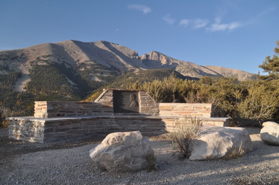
Mather Overlook is a roadside boardwalk on Wheeler Peak Scenic Drive, looking toward Wheeler Peak Cirque and down the Lehman Creek watershed. If you're already driving up, stop for the easy cirque view, the Stephen Mather marker and the tactile terrain map; the main scene is beside the parking area, so there's no approach hike. It's about eight miles up the drive, and the viewing area is wheelchair accessible.

Snow and weather close the road for winter. It usually opens around Memorial Day and stays open into late October, but dates vary with conditions. The paved road has sharp turns and steep grades, and vehicles longer than 24 feet are barred beyond Upper Lehman Creek Campground.

Read the mountain down to BakerLook across the conifer slopes to Wheeler Peak's cirque, then follow the Lehman Creek watershed…

Look across the conifer slopes to Wheeler Peak's cirque, then follow the Lehman Creek watershed down toward Baker. The vegetation changes with elevation: desert shrub low in the valley, sagebrush nearer the park entrance, piñon-juniper near Upper Lehman Creek, and the montane zone at the overlook. Mountain mahogany is a sign you've reached that last band. You can read the climb in the plants as well as in the ridgelines.

Touch the terrainA bronze relief map shows the Wheeler Peak area in three dimensions.

A bronze relief map shows the Wheeler Peak area in three dimensions. Sculptor Bridget Keimel made it, and it was installed in 2020 as a tactile way to explore the terrain, including for visitors with sight impairments. Two geology panels added in 2022 explain the forces that shaped the range and the post-glacial landscape. Look over the model, then match its ridges to the view.

Use the repeat-photo viewThe Chronolog photo point on the boardwalk faces Wheeler Peak Cirque across the Lehman Creek…

The Chronolog photo point on the boardwalk faces Wheeler Peak Cirque across the Lehman Creek watershed. Use its fixed view to compare seasons, or include the forested slope below the peak to give a phone photo more depth than a bare skyline.

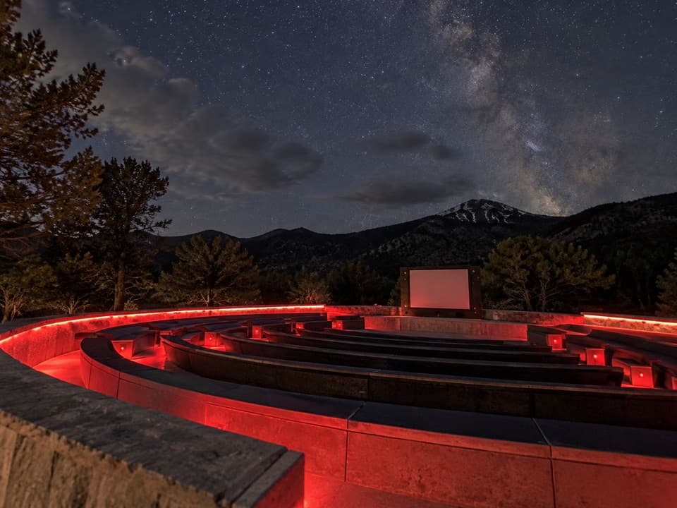
Come back after darkMather Overlook is also one of the park's stargazing stops.

Mather Overlook is also one of the park's stargazing stops. Check the moon and forecast before driving up, use a red light to protect your night vision, and remember that overnight camping isn't allowed at designated stargazing locations.

Wildlife

Wildlife in Great Basin

All Great Basin wildlife maps

Sighting maps show where each species has been reported across Great Basin. Wildlife moves, so no sighting is guaranteed.

Keep exploring

Near Mather Overlook

See it all on the map

Trails nearby

More stops nearby

Parkwolf’s Great Basin ranking

Top sights in Great Basin

All 29 places
  1. 1Lehman CavesSight
  2. 2Wheeler Peak Bristlecone GroveSight
  3. 3Wheeler PeakSight
  4. 5Wheeler Peak OverlookSight
  5. 6Astronomy AmphitheaterSight
  6. 7Stella LakeSight

Take Parkwolf to Great Basin.

The audio tour guide for the drive, plus offline maps, trails, and wildlife heatmaps for when the signal drops.

4.7 from 8,600+ ratings

Download Parkwolf on the App StoreGet Parkwolf on Google Play