
Place · 0.1 mi away
Moderate
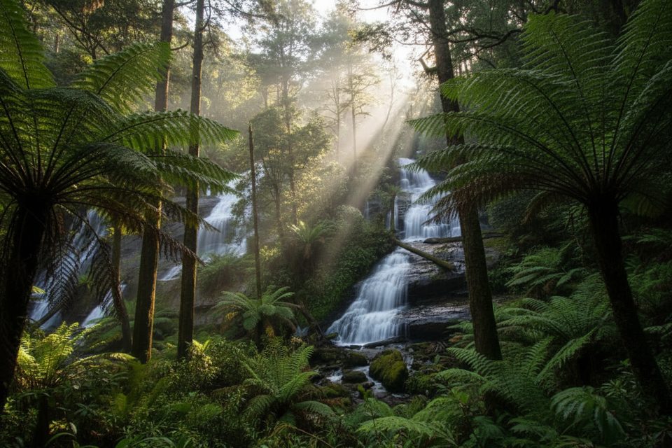
A lush slice of the Otways in a compact package. This rainforest loop (about 2 km total) drops through tall trees and ferny gullies to a tiered waterfall that splits into three distinct columns. Expect moist, mossy terrain, metal boardwalks in places, and plenty of stairs. It’s scenic and satisfying, if not the most open waterfall view in the region.
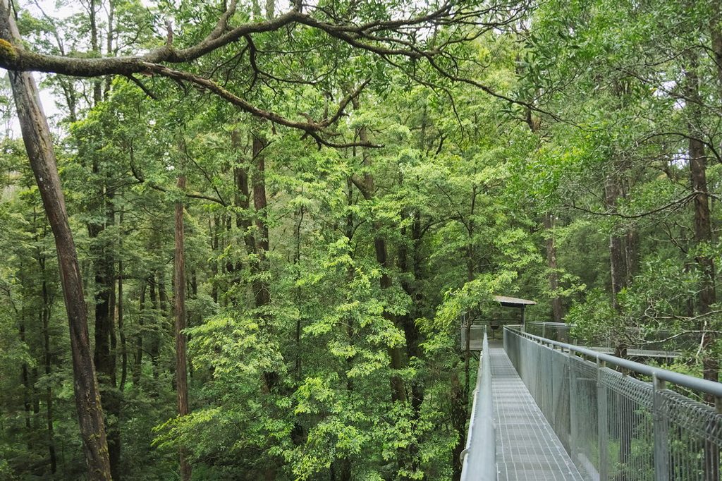
Start from the signed trailhead and descend steep steps into old‑growth forest. After roughly 400–500 m you’ll pass a signed junction for Little Aire Falls—skip it to keep this loop to about an hour, or add ~90 minutes for the side trip. Continue to the main Triplet Falls lookout at around 1.2 km; a nearby “lookout” sign earlier isn’t the primary viewpoint. From the platform, continue uphill beside Young Creek, then past early‑1900s Knotts No.1 sawmill relics before returning on raised metal walkways to the car park.
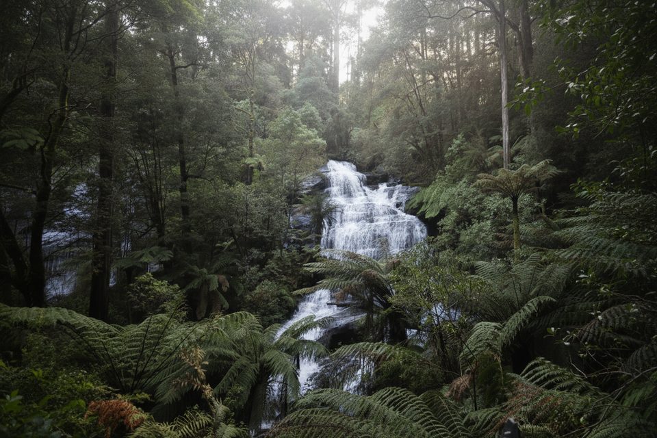
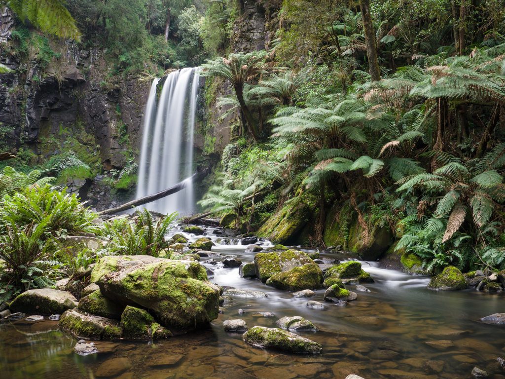
Triplet Falls lives up to its name: three side‑by‑side cascades fed by Young Creek, with flow kept reliable by the region’s high rainfall (Weeaproinah nearby is among Victoria’s wettest spots). Foliage can partially screen sections of the falls—bring a wide‑angle lens if photos are a priority. Along the track, interpretation signs share the area’s timber history and rainforest ecology.
The car park sits at the end of Philips Track off Beech Forest–Lavers Hill Road. The approach begins sealed, then turns unsealed and bumpy after a sharp left; drive slowly. Facilities include drop toilets and picnic tables.
This one works year‑round thanks to dependable flow. The track can be wet and muddy after rain, and surfaces (including boardwalks and steps) get slick, so wear grippy footwear and expect a slower pace. Walking clockwise gets you to the main lookout before the steeper climb out.
No swimming. No dogs (assistance dogs only under entry requirements), and no fires, camping, bicycles, horses, or firearms. Natural hazards include falling limbs and snakes; stay on the formed track. Watch for trip hazards from echidna and bandicoot diggings along the edges. The falls are lovely but partially obscured—if you want a potentially more dramatic waterfall view, consider adding the Little Aire Falls side trip from the same junction.
Trailhead car park at the end of Philips Track; drop toilets and picnic tables available.
Wet, slippery steps and boardwalks; numerous stairs; trip hazards from echidna and bandicoot diggings; snakes and falling limbs; unsealed access road near the end.
Place · 0.1 mi away
Place · 0.9 mi away
Place · 1.5 mi away
Place · 3.9 mi away
Easy · 6.7 mi away
Moderate · 9.2 mi away
Challenging · 11 mi away
Moderate · 11.9 mi away

Parkwolf Tour Guide
