Pros & cons
PROS
- Easy, family‑friendly forest walk with Won Wondah Falls en route
- Trailhead has toilets, picnic tables and shelter at Sheoak Picnic Area
- Good chance of wildlife sightings like koalas and echidnas
CONS
- Track gets muddy and slippery after rain
- Flow can be a trickle or dry in drier periods
- Some map apps give misleading directions—follow on‑site signs
Overview
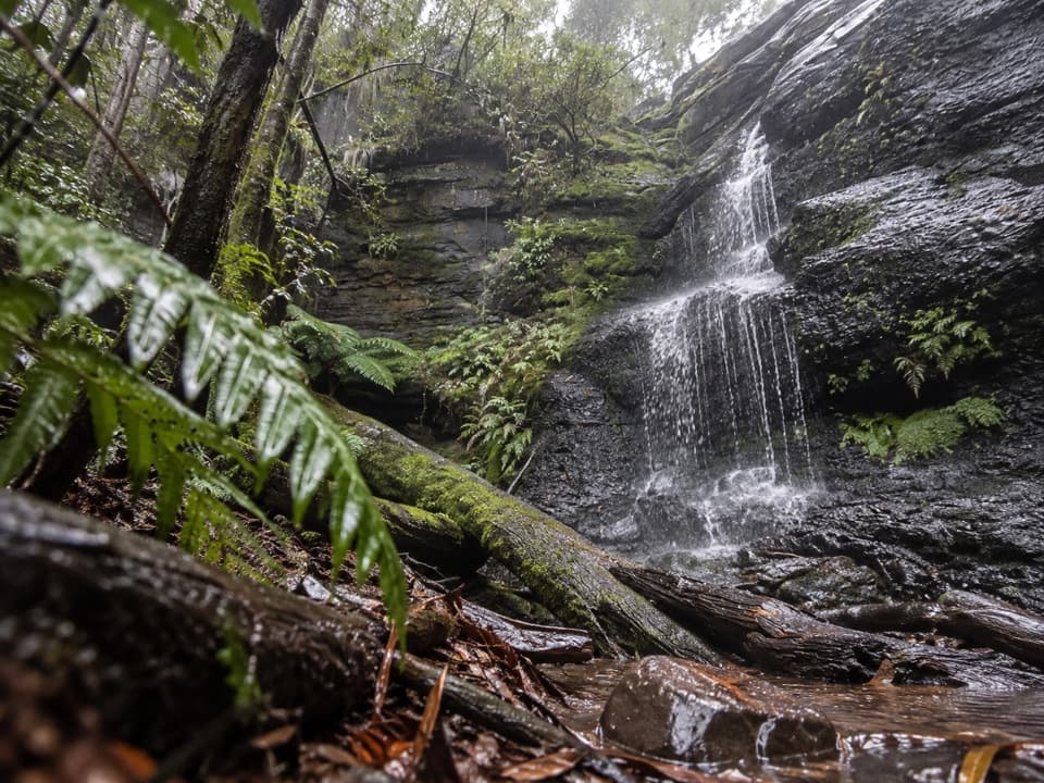
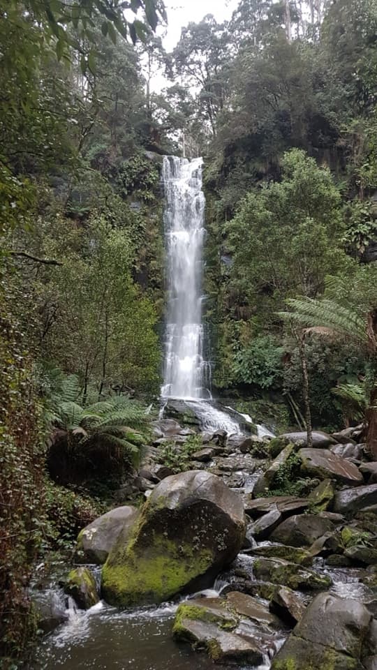
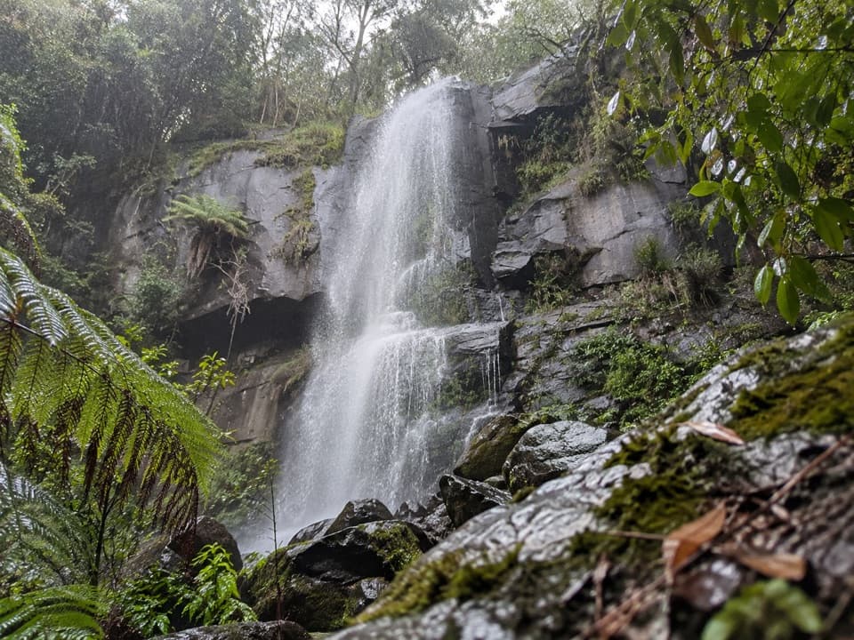
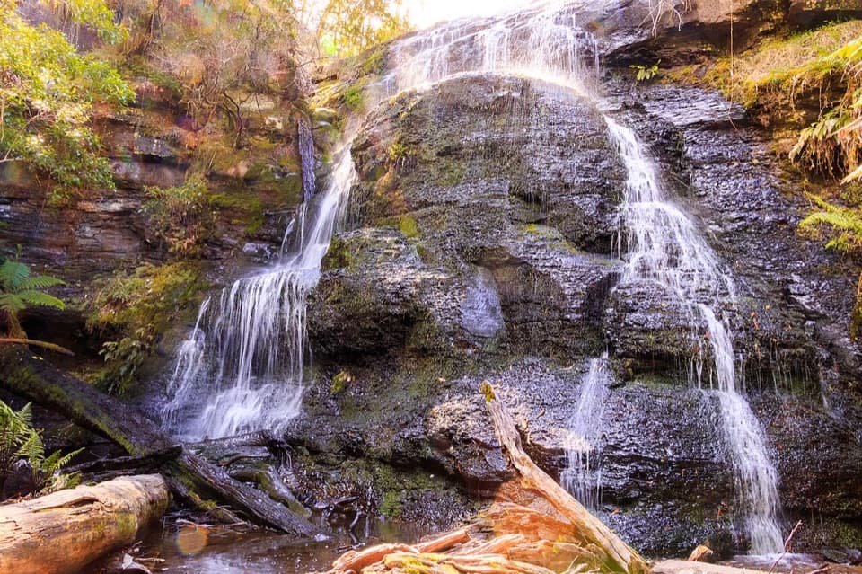
Tucked in a fern‑filled gully near Lorne, this 8–10 m cascade delivers classic Otways vibes: lush rainforest, mossy logs and the hush of running water. It’s a simple, rewarding stop that shines after rain; in drier spells the flow can be modest.
The Walk
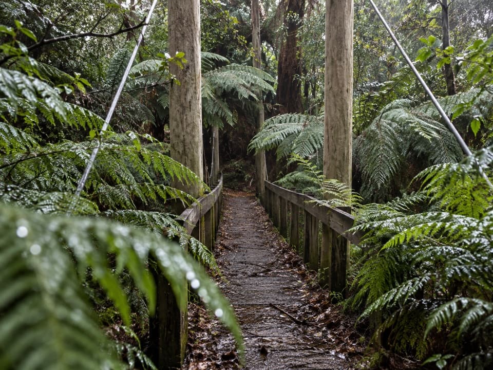
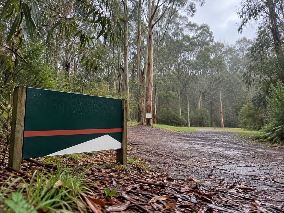
Start from Sheoak Picnic Area (off Allenvale Road) and follow signs past Won Wondah Falls to Henderson Falls, then return the same way. Expect a gently climbing formed track with little bridges and occasional roots and steps. Distances reported vary, but plan on roughly 3.6–3.9 km return with around 130 m of total gain. There’s an alternate start on Sharps Road that trims about 300 m.
What You’ll See
It’s all wet‑forest loveliness—towering eucalypts, tree ferns and cool, shaded gullies. You’ll bag two waterfalls from one trailhead, with Won Wondah along the way and Henderson as the finale. Keep an eye out for echidnas and koalas. Birdlife suits the damp forest, and in the broader Angahook‑Lorne area you may notice glow‑worms along damp banks after dark (avoid shining bright lights directly on them).
Facilities
Sheoak Picnic Area has toilets, picnic tables and a shelter. There are no facilities at the waterfall itself.
Rules and Safety
No dogs, bikes or vehicles on this walk. Parks Victoria notes shallow holes from echidna and bandicoot diggings on some tracks—watch your footing. Snakes are possible; stay on the formed path and wear grippy footwear, especially after rain when the track is slick.
Getting There
Follow signs from Sheoak Picnic Area; navigation apps sometimes send people astray, so trust the on‑site wayfinding. Parking on Sharps Road is a legit shortcut to the Henderson/Won Wondah track junction.
Best Time to Visit
Go after recent rain for the best curtain of water; winter (June–September) is often reliable. The area is open at all hours, but daylight brings easier footing and nicer photos under the forest canopy. Weekends and holidays can crowd the picnic area—start early; midweek is quieter.
Nearby Notes
If you’re stitching together a waterfall day, Lower Kalimna Falls is accessible from the same picnic area, while Upper Kalimna and Cora Lynn Cascades have been listed as closed in recent advisories—re‑check Parks Victoria before you go.
Where it is
-38.5494, 143.9344Tips for Henderson Falls
- 01Start from Sheoak Picnic Area for toilets, shelter and picnic tables.
- 02Park on Sharps Road to save about 300 m of walking to the junction.
- 03Wear grippy shoes—this track turns muddy and slippery after rain.
- 04Waterflow varies; aim for winter or just after rain for the best display.
- 05Follow the Henderson/Won Wondah signs as some navigation apps misroute.
Amenities
Near Henderson Falls
All places →All trails →
0.2 mi awayWon Wondah FallsShy little cascade on a short, ferny forest walkScenic Viewpoint · Parking
0.5 mi awayThe Canyon (Erskine River)A mossy, boulder-choked gorge between Phantom and Henderson FallsParking
0.6 mi awaySheoak Picnic AreaShaded picnic hub for Lorne’s best waterfall walksTrailhead · Restroom
0.6 mi awayKalimna Falls WalkShaded creek stroll to a walk behind waterfall near LorneEasy · 3.5 mi · 2 hr
0.6 mi awaySheoak Picnic Ground – The CanyonFerny waterfall ramble into a mossy slot canyon near Lorne.Moderate · 5.3 mi · 3 hr
0.6 mi awaySheoak Picnic Ground Nature WalkShort ferny loop with a suspension bridge from Lorne's picnic hubEasy · 0.8 mi · 45 min
0.8 mi awayPhantom FallsLush 15 m cascade reached by short ferny walk from LorneTrailhead · Parking
1.3 mi awayAllenvale to Phantom FallsShort, shady wander to a fern-framed waterfall near LorneModerate · 2.2 mi · 1.5 hr