Pros & cons
PROS
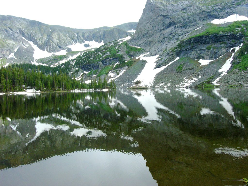
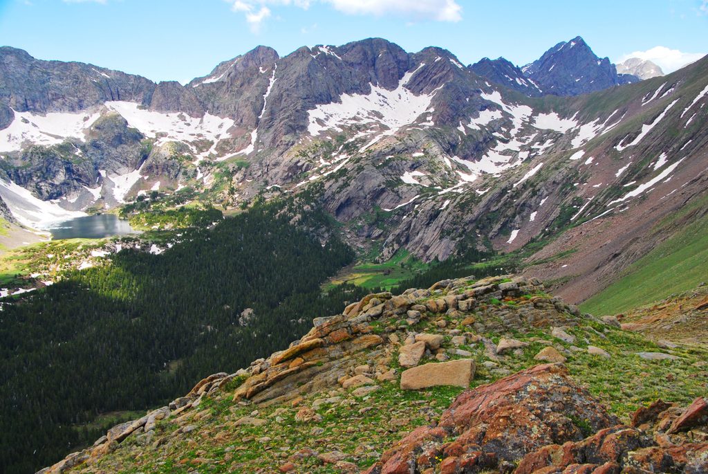
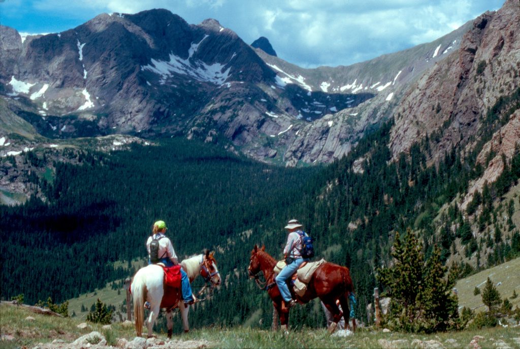
- Big alpine views over the Sand Creek basin and distant dunes
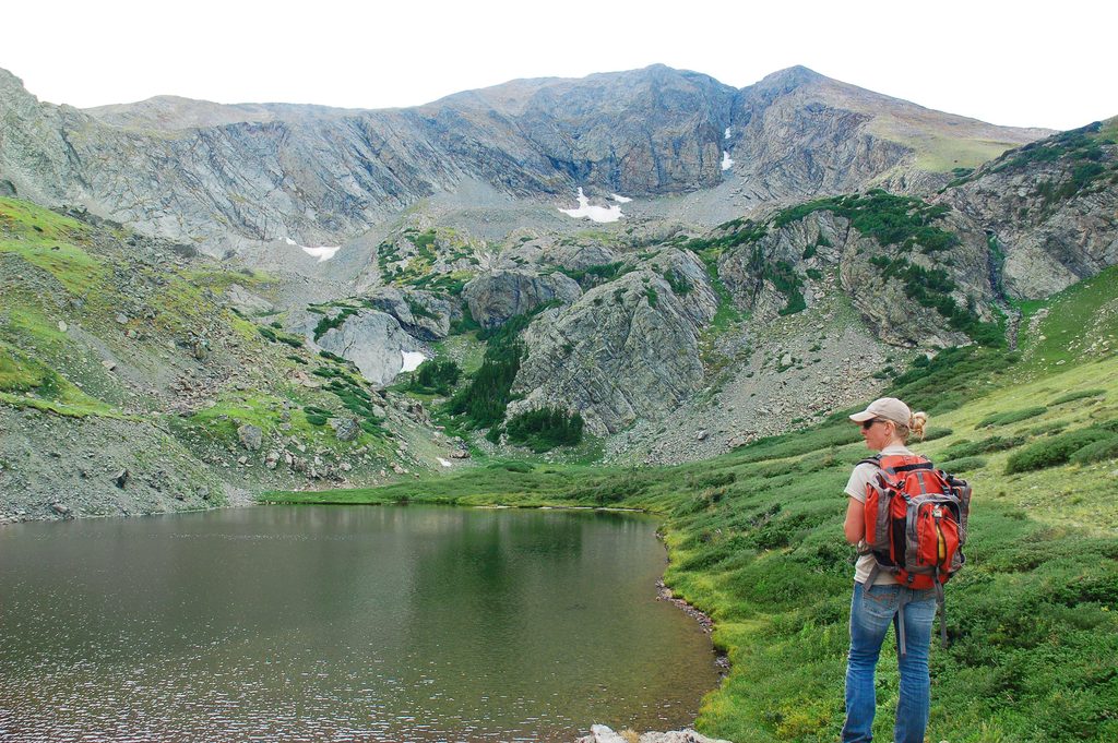
- Gateway to Lower/Upper Sand Creek Lakes and longer alpine routes
CONS
- Rough, high‑clearance 4WD road for the last ~2.5 miles
- Alpine weather and altitude can make this feel tougher than it looks
Overview
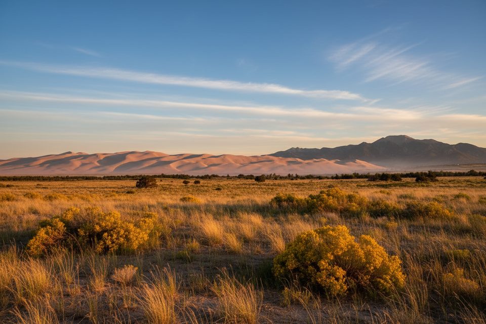
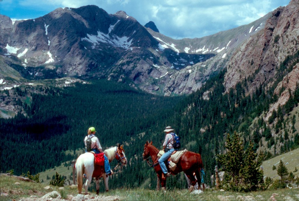
Music Pass is a short, rewarding climb to a high saddle in the Sangre de Cristo Mountains, overlooking the Sand Creek drainage with sightlines toward the far-off dune field. It sits on the Preserve side of the park system, so it’s wilder and quieter than the main dunefield—but that remoteness also means more self-reliance.
Why it matters here
This pass sits above Sand Creek, one of the streams that helps move and “recycle” sand around the edges of the dunes. Along with nearby mountain passes, it’s part of the natural funnel that focuses winds and sand toward the dunefield, which is why the dunes here have grown so large and tall.
The hike
- Distance: about 2.4 miles out-and-back from the upper trailhead, with roughly 741 feet of gain.
- Effort: moderately challenging; altitude around the pass is roughly 11,450 feet, so pace yourself.
- Trail character: shady forest to start, then more open alpine terrain. Just before the pass, short spur paths to rock outcrops offer the best panoramas.
- Season: typically best June–October, when snow has melted and roads are passable.
- Dogs: allowed on leash.
Extending your day
From the pass you can continue into the Sand Creek basin:
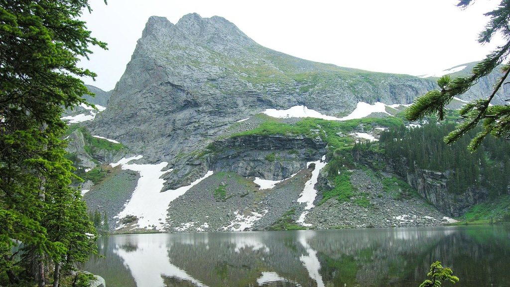
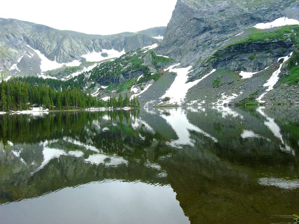
- Lower and Upper Sand Creek Lakes: roughly 8 miles round trip from the Music Pass trailhead.
- Little Sand Creek Lakes: a bigger day at about 16 miles round trip.
Ambitious hikers also use this approach for Marble Mountain and other high-country objectives.
Getting there and road notes
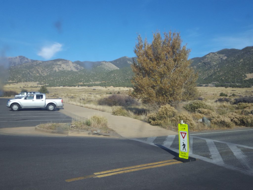
Access is from the Wet Mountain Valley side near Westcliffe. The final ~2.5 miles to the upper Music Pass trailhead are narrow and rocky; high-clearance 4WD is strongly recommended. Without it, park lower where the Rainbow Trail crosses Music Pass Road and walk the remaining road miles to the upper trailhead. There’s a restroom at the lower parking area.
Weather, wildlife, and hunting
Expect fast-changing mountain weather and strong winds; afternoon thunderstorms are common in summer, so start early. The Preserve supports high-country wildlife (keep your distance and store food properly). Hunting is permitted in the Preserve during fall; wear bright colors and know the season dates if you’re visiting then.
Permits and logistics
Backpacking in the Preserve via Music Pass does not require the park’s online backcountry permit. However, if you leave a vehicle in the National Park while backpacking into the Preserve, you’ll need a free parking/camping permit from the visitor center. Day use at the trailhead is available around the clock.
Best time to visit
- Months: June–October for snow-free travel and alpine wildflowers.
- Time of day: Early morning for calmer winds, gentler light, and to dodge typical afternoon storms.
- Crowds: This side is far less busy than the main dunes area; weekdays are quietest.
- Photography: Morning light paints the basin and distant valley; late-day contrast can be dramatic if storms clear.
Where it is
37.9245, -105.4875Tips for Music Pass
- 01High-clearance 4WD is ideal; without it, park at the Rainbow Trail crossing and walk the final road section.
- 02Start before 9 am to avoid afternoon thunderstorms and stronger ridge winds.
- 03Take the short spur paths to rock outcrops just before the pass for the best views.
- 04If backpacking into the Preserve and leaving a vehicle in the park, pick up the free parking/camping permit at the visitor center.
- 05Dogs are allowed on leash; bring extra water and protect paws on rocky sections.
Amenities
Near Music Pass
All places →All trails →
0 mi awayMusic Pass TrailQuick climb to sweeping alpine views with lake options beyondModerate · 2.4 mi · 1.5 hr
2.5 mi awaySand Creek LakesHigh-alpine lakes via Music Pass with big Sangre views
2.5 mi awayLower Sand Creek LakeAlpine lake payoff beyond Music Pass in the Sand Creek BasinScenic Viewpoint
3.1 mi awayUpper Sand Creek LakeHigh-country alpine lake via a tough but rewarding Music Pass hike
4.7 mi awayMedano LakeRemote alpine lake reached via a rugged 4x4 roadTrailhead · Parking
11.5 mi awaySand Ramp TrailLong, sandy connector mostly for backcountry access—not for instant viewsChallenging · 11 mi · 4 hr
11.5 mi awaySand Creek TrailRemote, sandy slog to a wild creek corridor and alpine gateway.Challenging · 10 mi · 0 min
12.5 mi awaySand Sheet Loop TrailEasy interpretive loop with big dune and Sangre views.Easy · 0.4 mi · 15 min