Pros & cons
PROS
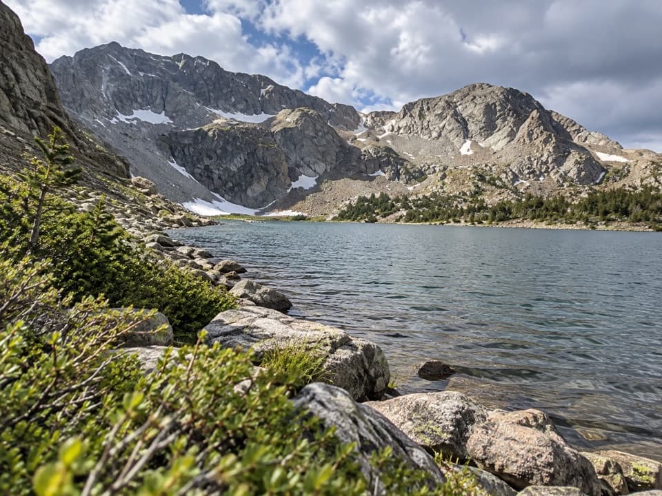
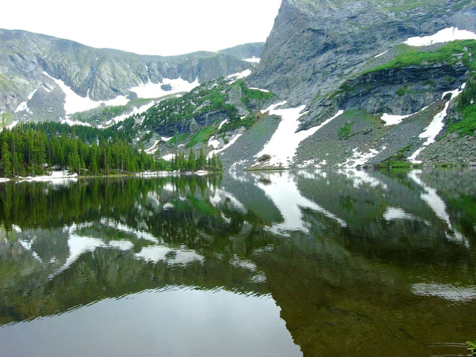
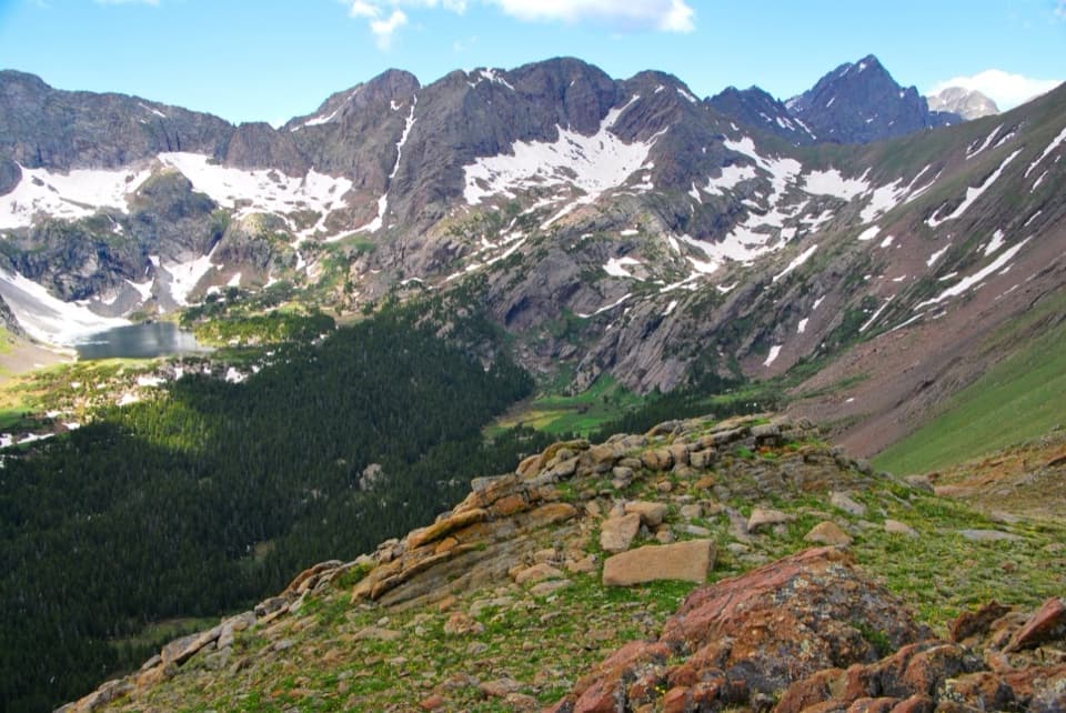
- Spectacular alpine lake in a rugged cirque off Music Pass
- Challenging, high-reward day with big mountain views
- Potential for high-country fishing
CONS
- Rough access road; high-clearance often needed or extra road walk
- No developed facilities; fully wilderness
- Snow can linger into early summer; conditions change fast
Overview
Upper Sand Creek Lake is a high-country gem tucked in a cirque above the Sand Creek drainage. It feels worlds away from the dunes—think subalpine forest giving way to rocky basins, cold water, and serrated peaks. If you want a strenuous, rewarding day that shows off the park’s mountain side, this is the move.
The Hike
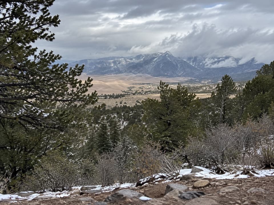
The standard route climbs to Music Pass, drops into the Sand Creek drainage, then works up to the lake. Expect roughly 7–8 miles round trip and close to 2,000 feet of gain—full-value hiking with altitude, variable footing, and weather that keeps you honest. Music Pass dishes out big views before you angle toward the upper basin.
Conditions and Season
Best window runs late spring through early fall, but alpine trails to the Sand Creek Lakes are usually not fully snow-free until mid-to-late June, with patches often lingering above the lakes through July. Early starts are smart to dodge typical afternoon storms and wind at elevation. The park’s warmest month is July, yet high country can still turn cold quickly. In early season or after storms, expect lingering snow and consider traction.
Why It’s Special
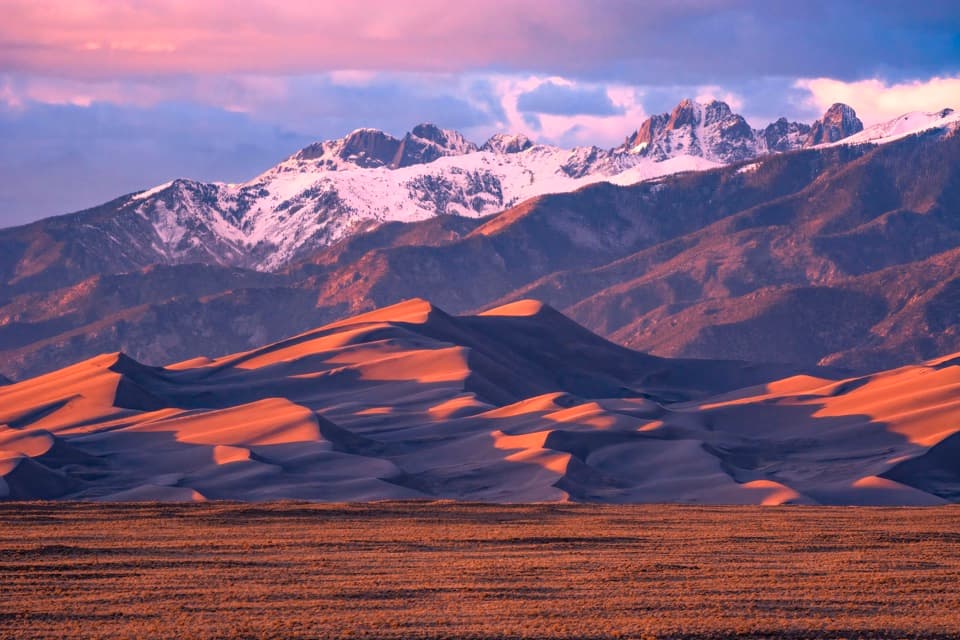
Sand Creek is part of the system that builds and “recycles” the famous dunes: sand that blows into the mountains is carried by creeks like Sand Creek back to the valley floor, where the wind moves it again. Hiking to the lake connects you directly to that mountain-to-dune story.
Facilities and Access
This is designated wilderness—no restrooms, no trash cans, no developed amenities at the lake or along the trail. Be self-sufficient and pack out everything. The approach to Music Pass Trailhead is rough; high-clearance 4WD can usually reach the upper trailhead when the road is open and dry. Many 2WD drivers park lower near the Rainbow Trail crossing and add about 2.5 miles of road walking to reach the upper trailhead.
Wildlife and Fishing
You’ll pass from montane forest to subalpine terrain, with healthy biodiversity across the broader park and preserve. Anglers report good high-country fishing here—just be prepared for a rugged approach and alpine weather.
Pairing With the Dunes
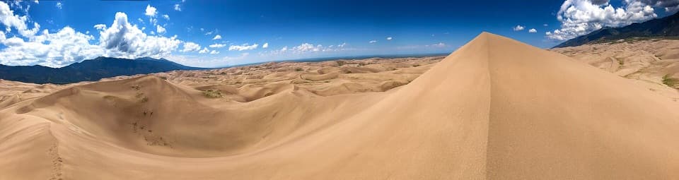
If you’re combining this with dune time, note that Medano Creek’s famous surge flow typically happens spring to early summer. By late summer, the creek near the main dunes area often runs low or is dry, and the park notes mosquitoes are most numerous mid-June through July.
Best Time to Visit
Aim for mid/late June through September for the most reliable footing; late July into September typically offers the least lingering snow. Start early for calmer weather and a smoother day, and keep an eye on current conditions using the park’s official updates and maps.
Where it is
37.9397, -105.5405Tips for Upper Sand Creek Lake
- 01Start early to avoid typical afternoon storms and wind at elevation.
- 02High-clearance 4WD is often needed for the upper Music Pass Trailhead; 2WD adds ~2.5 miles of road walking.
- 03Expect lingering snow into July; bring traction and warm layers when in doubt.
- 04There are no facilities—pack out all waste and bring extra water and food.
- 05Use the park’s official maps/updates to check current snow and road conditions before you go.
Near Upper Sand Creek Lake
All places →All trails →
0.9 mi awayLower Sand Creek LakeAlpine lake payoff beyond Music Pass in the Sand Creek BasinScenic Viewpoint
0.9 mi awaySand Creek LakesHigh-alpine lakes via Music Pass with big Sangre views
3.1 mi awayMusic PassShort climb to a big alpine window over Sand Creek basinTrailhead · Parking
3.1 mi awayMusic Pass TrailQuick climb to sweeping alpine views with lake options beyondModerate · 2.4 mi · 1.5 hr
6.5 mi awayMedano LakeRemote alpine lake reached via a rugged 4x4 roadTrailhead · Parking
12.7 mi awaySand Ramp TrailLong, sandy connector mostly for backcountry access—not for instant viewsChallenging · 11 mi · 4 hr
12.7 mi awaySand Creek TrailRemote, sandy slog to a wild creek corridor and alpine gateway.Challenging · 10 mi · 0 min
13.7 mi awaySand Sheet Loop TrailEasy interpretive loop with big dune and Sangre views.Easy · 0.4 mi · 15 min