Place · 0 mi away
Challenging

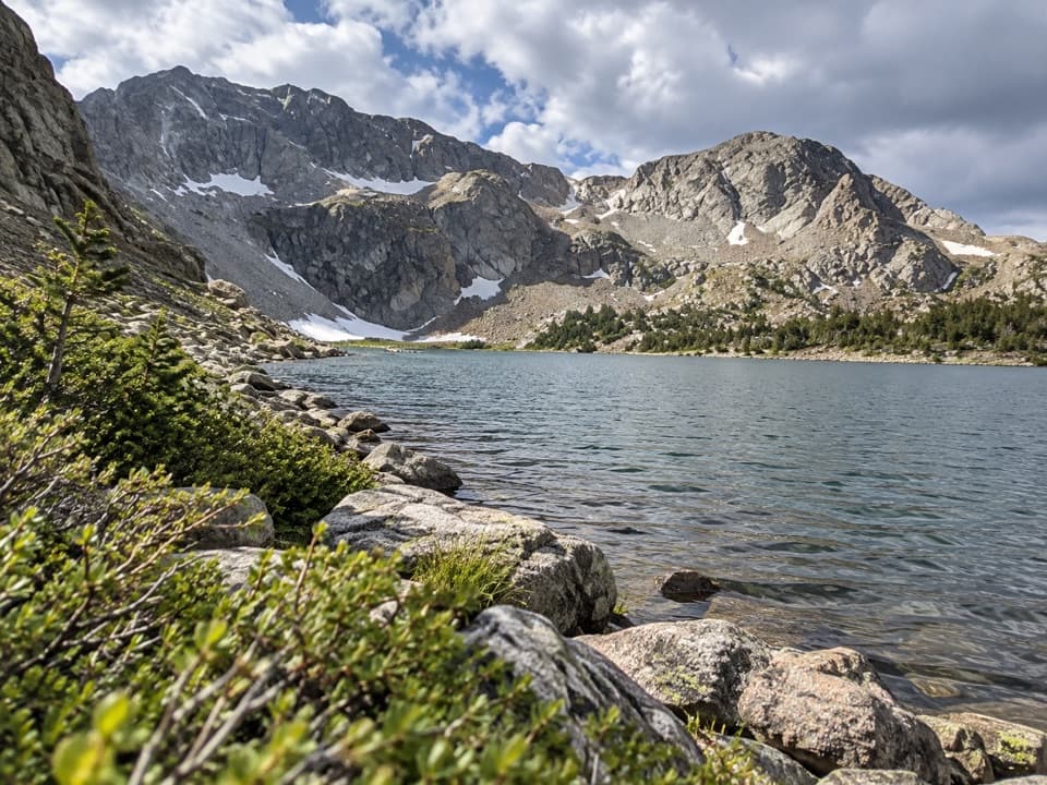
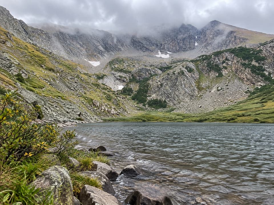
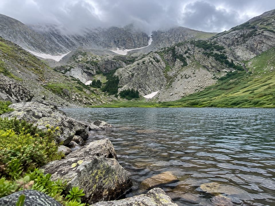
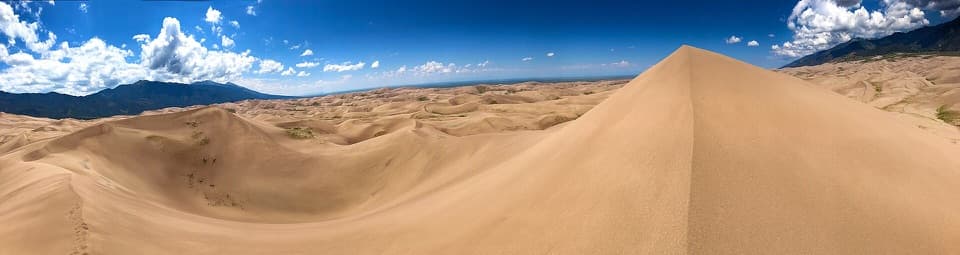
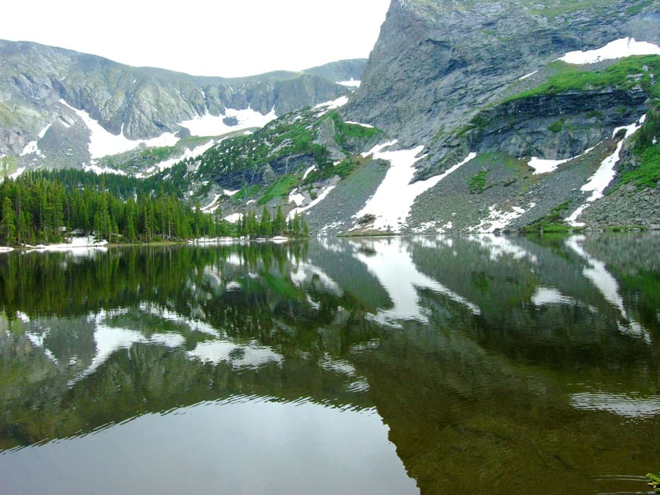
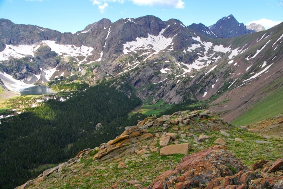
If you want the most remote, hard-won corner of Great Sand Dunes, the Sand Creek corridor is it. This is not a casual dune stroll—it’s a committing backcountry route that threads deep sand along the dunefield’s north edge to reach the Sand Creek drainage, then follows a rugged creek-side trail that ultimately climbs toward the Sand Creek Lakes and high peaks. Expect solitude, big views, and serious effort.
There are two primary approaches from the park side before you even reach the Sand Creek Trail:
From the Sand Creek junction, the Sand Creek Trail continues approximately 10 miles one way with about 3,500 feet of elevation gain to reach the upper lakes. That means most visitors treat this as a strenuous full-day-plus or an overnight—especially if you’re starting from the main park side. The tread is sandy and faint in places, and progress is slower than the numbers suggest.
Aim for mid to late summer into early fall. Snow can block upper portions from November into June, and early summer runoff can make the creek crossings a no‑go. In any warm season, plan dawn starts to beat heat and afternoon storms; golden light at first/last light makes the dune and alpine scenery pop.
If you crave solitude and a big, type‑2 adventure that ties dunes to an alpine basin, this is your ticket. If you want a defined path and quicker alpine payoff, consider approaching the Sand Creek Lakes from Music Pass on the east side. If you’re after iconic dune vistas with less commitment, High Dune or Star Dune are better bets.
2WD: start at the Point of No Return near the main park area. High-clearance 4WD: continue the Medano Pass Primitive Road to the Sand Ramp Trailhead to cut approach miles. East-side parties use the Music Pass Trailhead if approaching from Westcliffe.
Long, exposed travel in deep sand with little shade; no water on dunes; multiple Sand Creek crossings that can be impassable in June; snow can linger or block upper routes November–June; rough high-clearance road to the 4WD trailhead; bring navigation tools and extra water.