Sand Ramp Trail in Great Sand Dunes National Park

Great Sand Dunes National Park, CO

Sand Ramp Trail

An 11-mile one-way crossing through sandy foothills to Sand Creek.

Length
11mi
Time
7hr
Elev. change
1,263ft
Difficulty
Challenging
  • No dogs
  • High point 9,180 ft

Hear the audio tour

Point of No Return and Sand Pit Trail

Overview

About Sand Ramp Trail

Why go

  • Links seven designated campsites along the dune foothills.
  • Indian Grove's bark-scarred ponderosas add a rare historic stop.

Heads up

  • Loose sand and rolling foothills slow the pace.
  • Point-to-point logistics are serious; walking back doubles the distance.

Map & elevation

The route

Loading the Great Sand Dunes map
Full map
Elevation7,917–9,180 ft
TrailheadPoint of No Return parking area37.75809, -105.50121
Keep this map with you offline in the Parkwolf app

Plan your hike

Before you go

Parking

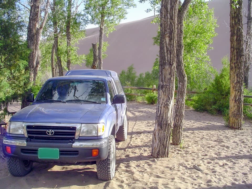
Use Point of No Return parking for the standard 2WD access; Loop 2 at Piñon Flats Campground is an alternate start. The farther-north Sand Ramp Trailhead on Medano Pass Primitive Road requires high-clearance 4WD and creates a shorter, separate route variant.

Safety

Loose, potentially very hot sand; afternoon lightning; seasonal water that should be treated; route-finding on the northern stretch; overnight campsite permit required; no pets north of Point of No Return.

2 active Great Sand Dunes alerts

  • CautionSwift, deep water on Medano Pass Primitive RoadMentions Medano Pass Primitive Road, referenced in this guideMedano Pass Primitive Road is open, but heavy rain has created swift water up to 3 feet deep, especially at creek crossings 3, 4, and 5.Official details
  • CautionStage 1 fire restrictionsStage 1 fire restrictions are active throughout Great Sand Dunes; use fires only in designated steel fire rings or picnic-site barbecues.Official details
Great Sand Dunes alerts
A park ranger sits on a dash-mounted phone, talking, as Parkwolf’s Tour Guide plays “Army Cutworm Moths: A Grizzly Bear Buffet” on Grand Loop Road below Dunraven Pass in Yellowstone
Parkwolf Tour GuideThe highest, rockiest slopes around here are a summer buffet for grizzly bears.

Great Sand Dunes Tour Guide

Your drive to Sand Ramp Trail, narrated.

Parkwolf is a GPS audio tour guide for Great Sand Dunes National Park. As you drive, it chimes in with what’s ahead: hidden gems, upcoming stops, history, geology, and wildlife, right through your car’s speakers.

Recorded for this trailhead

Point of No Return and Sand Pit Trail
0:00 / 0:26
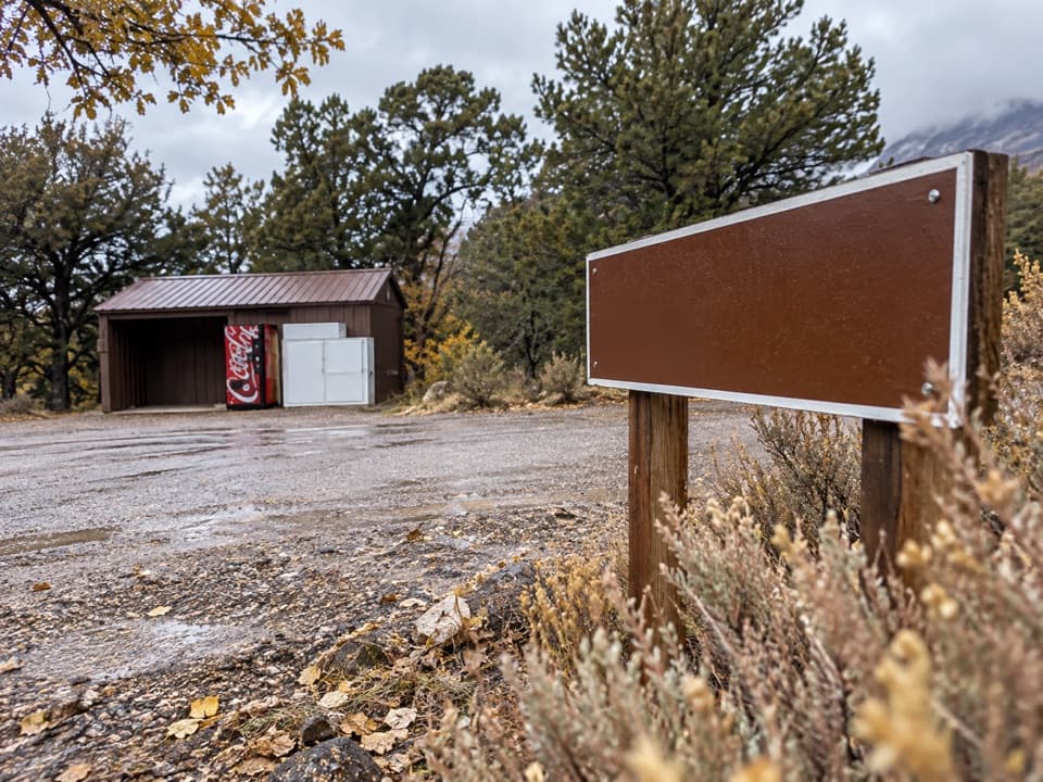
“You're nearing Point of No Return, the last parking area for two-wheel-drive vehicles on Medano Pass Primitive Road.”

Plays as you drive up to this trailhead in the Parkwolf Great Sand Dunes Tour Guide.

More stories near here in the app

  • Ponderosa Point
  • Sand Pit Picnic Area
  • Piñon Flats and Dunes Overlook
  • Castle Creek Picnic Area
  • 31 audio storiesacross Great Sand Dunes’s roads, triggered by GPS as you drive
  • Wildlife heatmapsfor Elk, Pronghorn, Wild Turkey, and 13 more
  • Works offlinemaps, 17 trails, 29 places, and audio download before you lose signal
  • CarPlay readysimple controls built for the drive
★★★★★
“Fantastic app with many points of information… It’s great to just turn on while you’re driving and it gives you an audio tour of the national Park. We love it!!!!”
JMJamesApp Store review
Download Parkwolf on the App StoreGet Parkwolf on Google Play

4.7 from 8,600+ ratings

Trail guide

Hiking Sand Ramp Trail

The crossingSand Ramp is an 11-mile, one-way point-to-point backcountry route from Point of No Return to…

Sand Ramp is an 11-mile, one-way point-to-point backcountry route from Point of No Return to Sand Creek, tracing the foothills along the dune field. It reaches seven designated backcountry campsites and works best as a committed campsite approach or crossing, not a short loop. The 11-mile listing does not state its distance convention; the mapped line measures 10.75 miles and ends at Sand Creek, so this guide treats it as one-way. Walking back to Point of No Return makes about 22 miles.

Sand underfootExpect rolling foothills rather than a flat traverse.

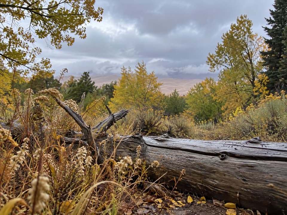
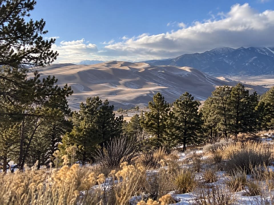
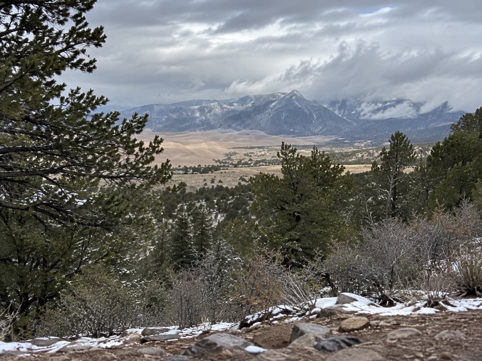
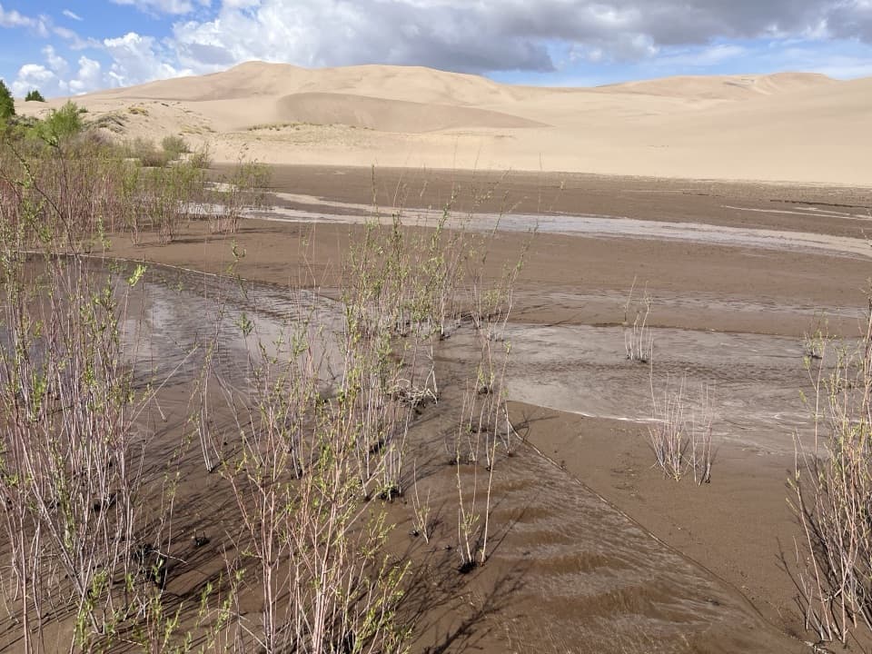
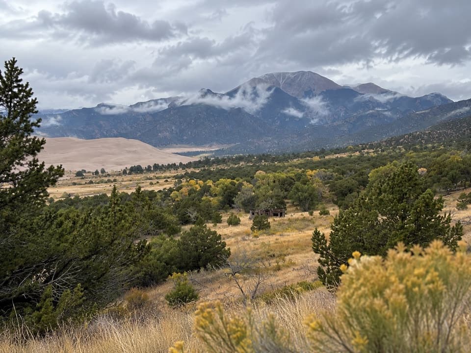
Expect rolling foothills rather than a flat traverse. After the first two miles, much of the tread is loose sandy soil or pure sand, with repeated dips and rises. That surface makes progress slower than the mileage suggests. The route alternates between dune-edge views and woodland below the Sangre de Cristo; it is a long backcountry corridor, not a single overlook.

Camps and historySeven designated sites lie along the corridor.

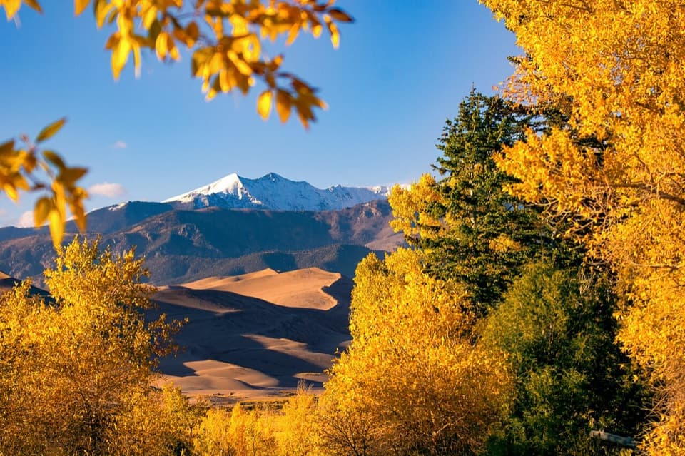
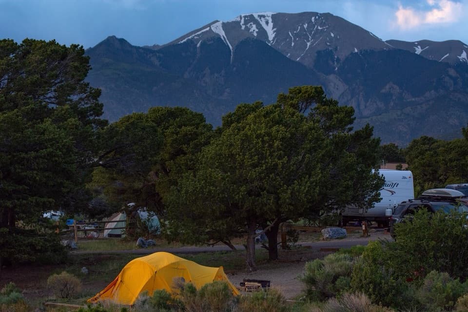
Seven designated sites lie along the corridor. Indian Grove is a memorable stop: several ponderosa pines carry large scars from bark peeled by American Indians for food and other uses, and the grove is listed on the National Register of Historic Places. A solar-composting toilet is at the site. The Aspen campsite area looks across the dunes toward the mountains, a good place to frame the pale sand against the darker range.

Water, heat and navigationWater sources vary by season.

Water sources vary by season. Carry enough water for the route and treat stream water before drinking; don't build a plan around finding water at every campsite. Sand can become extremely hot in summer, and afternoon thunderstorms bring lightning risk. In hot weather, start early or later in the day; high-top boots and long pants help keep sand out. Some northern stretches require route-finding, and the final part toward Sand Creek is marked as an unimproved route. Bring an offline map and leave time for slow footing.

Access and permitsThe stored route starts at Point of No Return, the standard 2WD access, and finishes at Sand…

The stored route starts at Point of No Return, the standard 2WD access, and finishes at Sand Creek. Loop 2 of Piñon Flats Campground is another start. A separate, farther-north Sand Ramp Trailhead on Medano Pass Primitive Road shortens the one-way hike to Sand Creek to about seven miles but requires high-clearance 4WD; that is a different variant. Overnight camping at designated sites requires a permit. Pets are not allowed north of Point of No Return, including this trail. Sand Creek Trail continues upstream toward Sand Creek Lakes as a separate route.

Wildlife

Wildlife in Great Sand Dunes

All Great Sand Dunes wildlife maps

Sighting maps show where each species has been reported across Great Sand Dunes. Wildlife moves, so no sighting is guaranteed.

Keep exploring

Near Sand Ramp Trail

See it all on the map

Trails that start nearby

Places near the trailhead

Parkwolf’s Great Sand Dunes ranking

Top-rated trails in Great Sand Dunes

All 17 trails
  1. 1Dunes Overlook TrailModerate · 2 mi
  2. 2Medano Lake TrailChallenging · 7.4 mi
  3. 3Upper Sand Creek Lake TrailChallenging · 7.7 mi
  4. 4Lower Sand Creek Lake TrailChallenging · 8 mi
  5. 5Upper and Lower Sand Creek Lakes HikeChallenging · 9.9 mi
  6. 6Music Pass TrailModerate · 2.2 mi

Take Parkwolf to Great Sand Dunes.

The audio tour guide for the drive, plus offline maps, trails, and wildlife heatmaps for when the signal drops.

4.7 from 8,600+ ratings

Download Parkwolf on the App StoreGet Parkwolf on Google Play