Moderate

Music Pass Trail

Quick climb to sweeping alpine views with lake options beyond
Music Pass Trail, Great Sand Dunes National Park
Distance2.4 mi
Typical time1.5 hr
DifficultyModerate
PetsAllowed

Overview

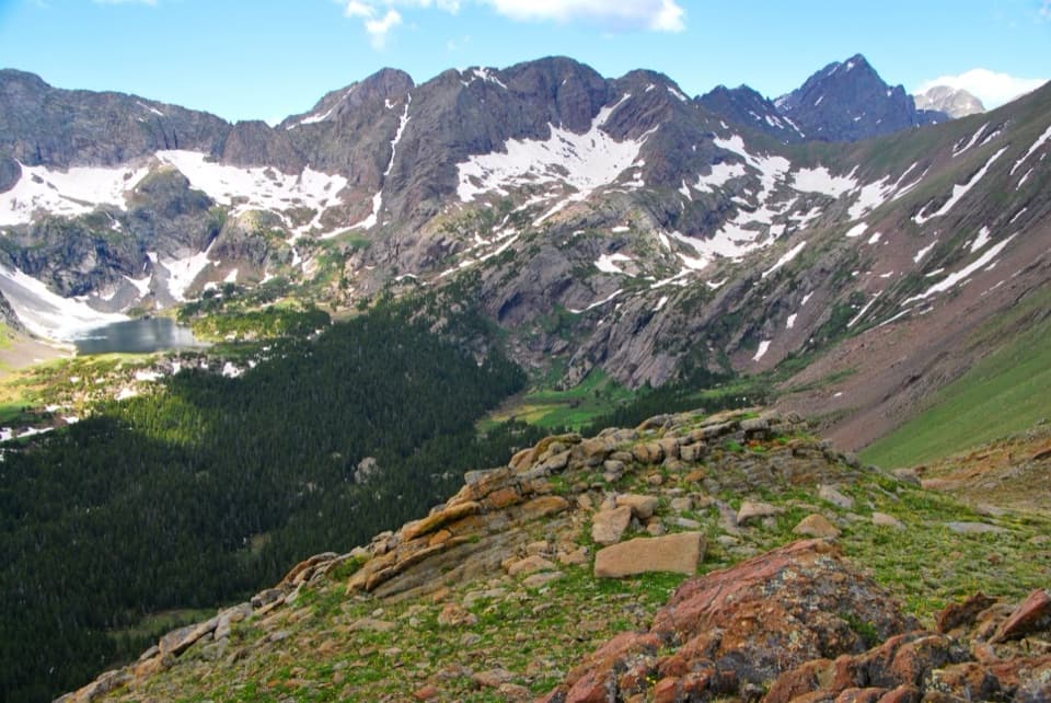
A short, rewarding pass hike that feels far from the dunes, Music Pass trades sand for spruce, tundra, and a huge window into the Sangre de Cristo high country. From the upper trailhead, it’s 2.4 miles total (out-and-back) with about 740 feet of gain to the pass—quick work for a panorama down the Sand Creek Basin and the Crestones skyline.

Route and Distance

From the upper trailhead, the grade is steady through forest before a brief, looser pitch near the top. Total distance to the pass and back is about 2.4 miles. If you start from the lower 2WD parking, add roughly 2.5 miles each way on the road to reach the upper trailhead first.

Extensions: Lakes and a Gentle Summit

From Music Pass, strong hikers can drop into the basin toward the Sand Creek Lakes. Plan on roughly 8 miles round trip from the upper trailhead to reach either Upper or Lower Sand Creek Lake. If you want a bit more without committing to the lakes, Marble Mountain rises just north of the pass on gentler tundra for broader views.

What You’ll See

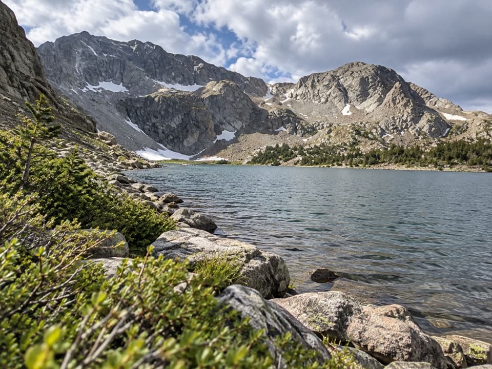
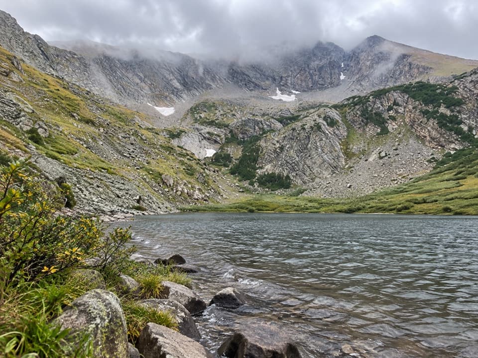
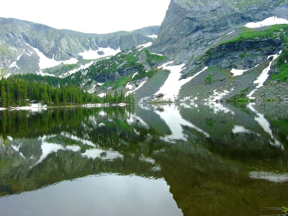
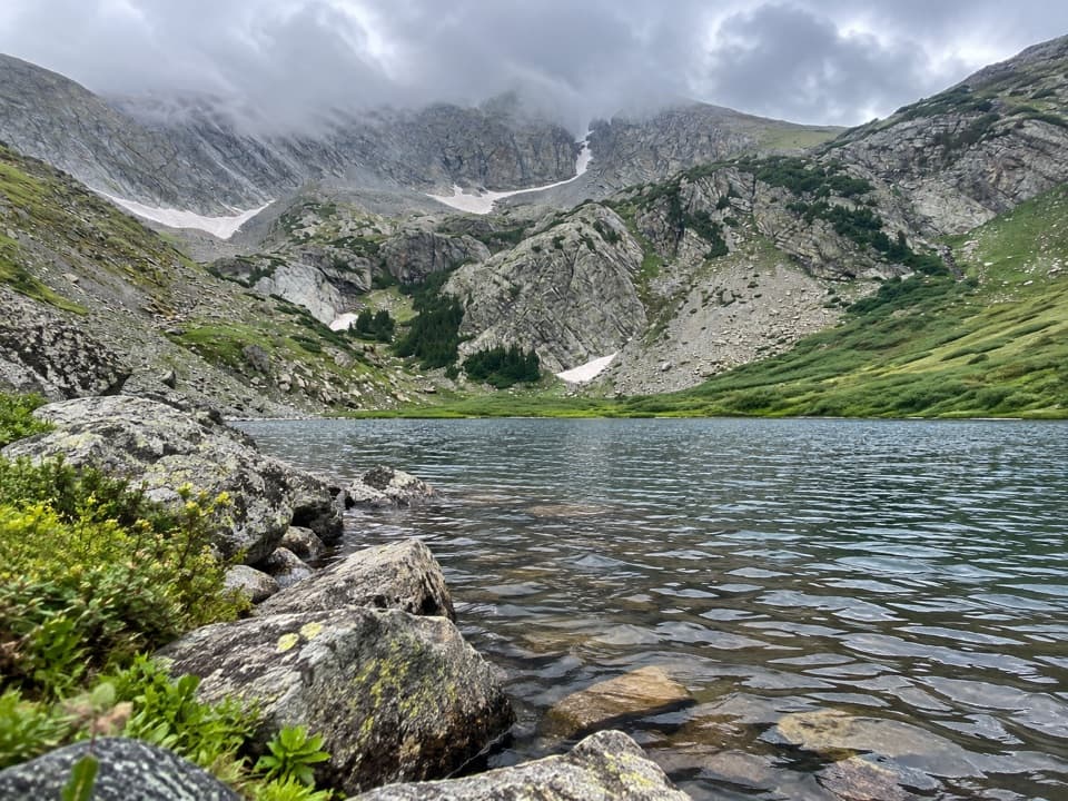
Expect classic alpine scenery—subalpine forest giving way to open tundra and a dramatic cirque holding emerald lakes. On clear days, the contrast between the white dunes to the west and sharp alpine peaks to the east is striking. This area also sits along the mountain front that helps funnel valley winds toward passes like Music, a small glimpse into the bigger geologic story that piles sand into North America’s tallest dunes.

Best Time to Hike

June through October is the sweet spot. Trails and the pass can hold snow into early summer, and snowfields may linger near the lakes into early July. Typical high-country thunderstorms build by early afternoon—start early for calmer weather, better light, and easier parking.

Trail Notes and Tips

  • Footing: Expect a short, loose/sandy section near the pass—trekking poles help on the descent.
  • Road reality: The rough 4WD approach is the crux for many; plenty of hikers simply park lower and walk the road.
  • Dogs: Reported as allowed on leash on this route. Rules can change—always confirm current guidance with rangers.
  • Snow and downfall: Early season conditions can include patchy snow and downed trees, especially beyond the pass toward the lakes.

Pros

  • Huge alpine payoff for a very short climb from the upper trailhead
  • Easy to customize: quick pass view or commit to lakes and Marble Mountain

Cons

  • High-clearance 4WD road often dictates the day; many end up hiking the road
  • Lingering early summer snow and occasional downfall slow travel beyond the pass

Parking

2WD vehicles park where Music Pass Road meets the Rainbow Trail (signed lower lot); from there it’s about 2.5 miles on foot up the road to the upper Music Pass Trailhead. High-clearance 4WD can continue the last 2.5 miles to the upper trailhead.

Caution

High-clearance 4WD strongly recommended for the final 2.5 miles of road; the track is rough, narrow, and can have high berms and rocky/steep sections. Expect typical summer thunderstorms—be off exposed terrain early. Snow can block the pass or linger near the lakes into early July. If you continue beyond the pass, creek crossings and early-season flows can be serious. Carry a paper topo map and a simple compass, and know how to use them; solo/off-trail travel is discouraged and using a topo map is recommended for backcountry routes [nps.gov](https://www.nps.gov/grte/planyourvisit/hike.htm?src=mappery), and old-school map-and-compass skills are a proven safety net [rockymountainnationalpark.com](https://www.rockymountainnationalpark.com/gallery/hiking-pack/).

The Parkwolf tour guide sitting on a phone mounted in a car

Parkwolf Tour Guide

Like a tour guide in your car.

Bring Great Sand Dunes trail research into the car, with offline maps and stories that play as you drive.Download Parkwolf on the App Store