Parking
Use the Great Sand Dunes Visitor Center lot off CO 150. The loop starts immediately west of the building, on its left side.

Great Sand Dunes National Park, CO
A quick grassland loop with signs, dunes, and mountain views
Overview
Map & elevation
Plan your hike

The highest, rockiest slopes around here are a summer buffet for grizzly bears.
Great Sand Dunes Tour Guide
Parkwolf is a GPS audio tour guide for Great Sand Dunes National Park. As you drive, it chimes in with what’s ahead: hidden gems, upcoming stops, history, geology, and wildlife, right through your car’s speakers.
Recorded for this trailhead
Great Sand Dunes Visitor Center“You're approaching the Great Sand Dunes Visitor Center. Stop here if you'd like ranger help choosing an outing, or want to understand the landscape before exploring it. I'd head for the hands-on sand-and-wind display.”
Plays as you drive up to this trailhead in the Parkwolf Great Sand Dunes Tour Guide.
More stories near here in the app
“Fantastic app with many points of information… It’s great to just turn on while you’re driving and it gives you an audio tour of the national Park. We love it!!!!”


Trail guide
Sand Sheet Loop is a roughly one-third-mile circuit from the west side of the Great Sand Dunes Visitor Center, with interpretive signs through the grassland and a view toward the dunes on the return. It is a short, easy walk if you want context for the landscape before heading onto the sand; this route stays in the grassland. Allow about 20 to 30 minutes if you stop to read the signs.
The park lists a quarter mile, while the complete mapped circuit measures about 0.34 mile. Other route accounts give 0.4 to 0.5 mile and describe longer approaches or an inner loop. This entry follows the shorter Visitor Center circuit.
Start on the Visitor Center’s west, or left, side. The unpaved path crosses open grassland with plant signs and benches, passes a short stretch of pinyon pines, then turns back toward the building. The return side opens toward the dunes and the Sangre de Cristo peaks. Reports differ on the tread: one map labels it sand and a hike description calls it a maintained gravel path, so expect an unpaved surface rather than a paved walk.
The signs introduce the grassland ecosystem that surrounds the dunes. In summer, look closely for miniature short-horned lizards blending into the sandy grass; they can be hard to notice until they move. They are protected, so leave them where they are.
Park at the Visitor Center and use its west-side trail access. The building has lobby restrooms and a water refill station while it is open, and the bookstore sells snacks. Most of the loop is exposed, with only a short pinyon section offering shade; the sand sheet can get hot on summer afternoons. The trail crosses grassland where pets are not permitted.
Wildlife
 16 sightingsElkMost seen around 7 PMSighting map
 21 sightingsPronghornMost seen around 7 PMSighting map
 12 sightingsWild TurkeyMost seen around 7 AMSighting map
 153 sightingsMule DeerMost seen around 6 AMSighting map
 38 sightingsRavenMost seen around 9 AMSighting map
 15 sightingsRed-tailed HawkMost seen around 11 AMSighting map
Sighting maps show where each species has been reported across Great Sand Dunes. Wildlife moves, so no sighting is guaranteed.
Keep exploring
 ModerateMosca Pass Trail7 mi · 4 hr · 0.2 mi awayA shady creek climb with dune views through the trees.
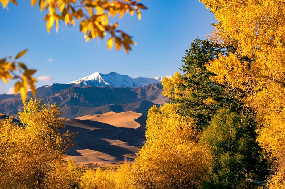 EasyMontville Nature Trail0.5 mi · 30 min · 0.2 mi awayA shady creek loop with dunes views and a trace of Montville.
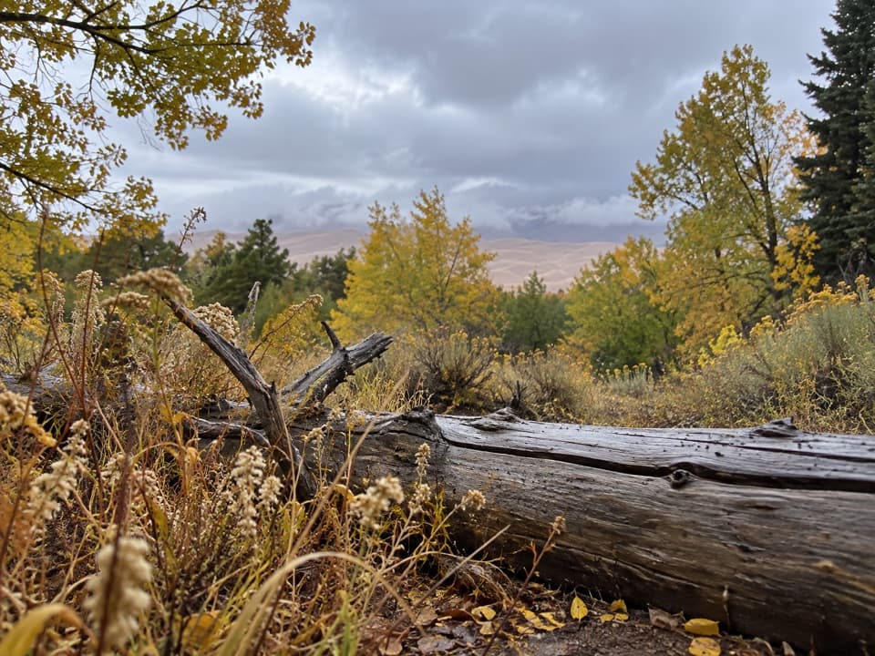 EasyWellington Ditch Trail2.2 mi · 1.3 hr · 0.2 mi awayA quiet foothill walk with dune views and a 1927 irrigation ditch.
 ModerateDunes Overlook Trail2 mi · 1.8 hr · 1.1 mi awayA short foothill climb opens onto dunes and mountain views.
 ChallengingSand Ramp Trail11 mi · 7 hr · 1.8 mi awayAn 11-mile one-way crossing through sandy foothills to Sand Creek.
 EasySand Pit Trail1.2 mi · 1 hr · 1.9 mi awayA short trail to Medano Creek with Mt. Herard on the skyline.
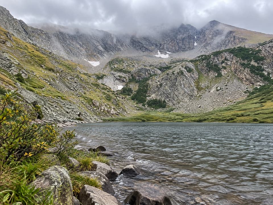 ChallengingMedano Lake via Medano Pass Primitive Road25.2 mi · 12.5 hr · 1.9 mi awayA long road-and-trail climb reaches Medano Lake beneath Mount Herard.
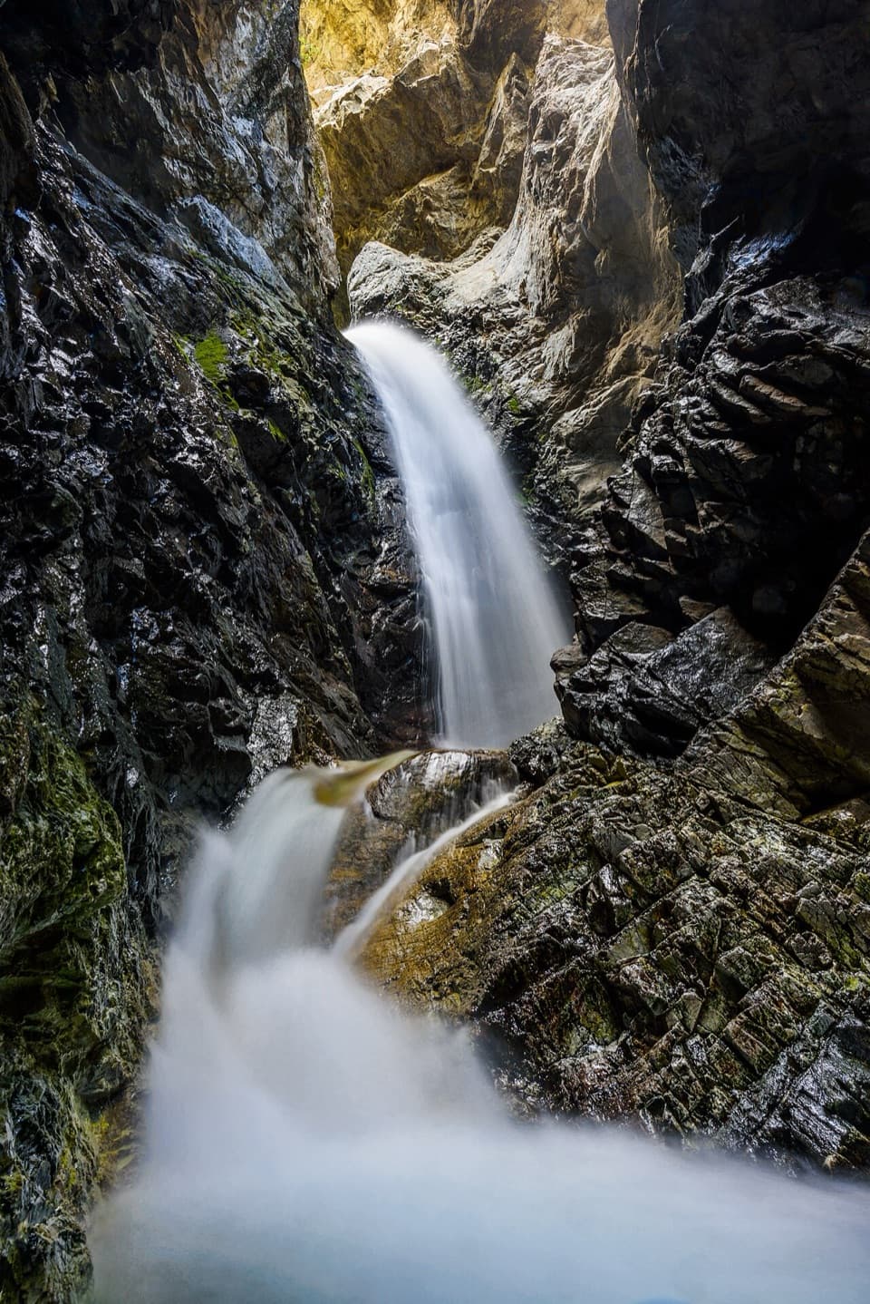 ModerateZapata Falls Trail1 mi · 45 min · 8.1 mi awayA mile round trip ends at falls tucked inside a rock cleft.
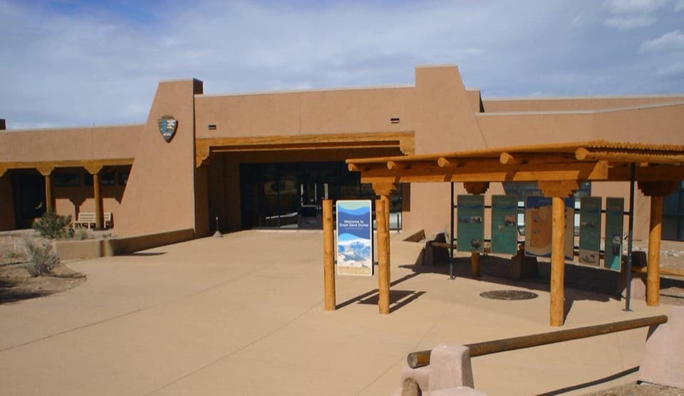 Visitor center · At the trailheadGreat Sand Dunes Visitor CenterStart here for ranger advice, a dune film, and maps.
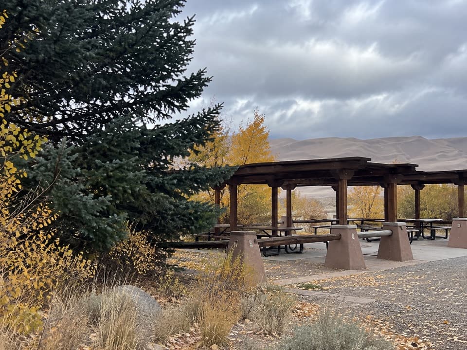 Picnic area · 0.5 mi awayDunes Picnic AreaShaded tables make this a handy break beside the seasonal creek.
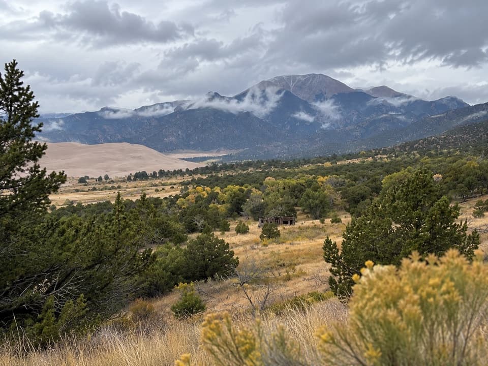 Sight · 0.5 mi awayWellington HomesteadA cabin remnant puts the dunes’ homesteading past in view.
 Beach · 0.6 mi awayMedano CreekSmall waves roll across the sand below the dunes when it runs.
 Entrance station · 0.7 mi awayGreat Sand Dunes Entrance StationGet your park pass at the booth when it’s staffed.
 Sight · 0.8 mi awayDunes AmphitheaterA seasonal ranger-talk venue beside Piñon Flats and the dunes.
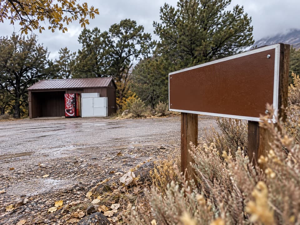 Store · 0.9 mi awayPiñon Flats Campground StorePick up ice, firewood or snacks between campground loops.
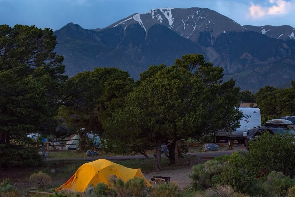 Campground · 1 mi awayPiñon Flats CampgroundA piñon-and-sagebrush base camp near the dunes.
Parkwolf’s Great Sand Dunes ranking

The audio tour guide for the drive, plus offline maps, trails, and wildlife heatmaps for when the signal drops.