Brushy Mountain

Underrated LeConte shoulder with big views and spring blooms
Brushy Mountain, Great Smoky Mountains National Park
InsideGreat Smoky Mountains National Park

Overview

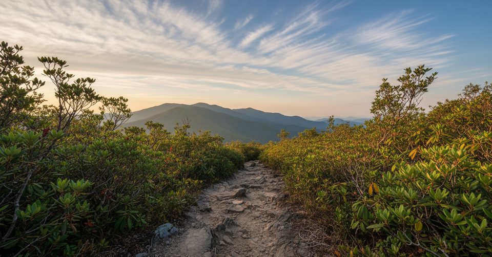
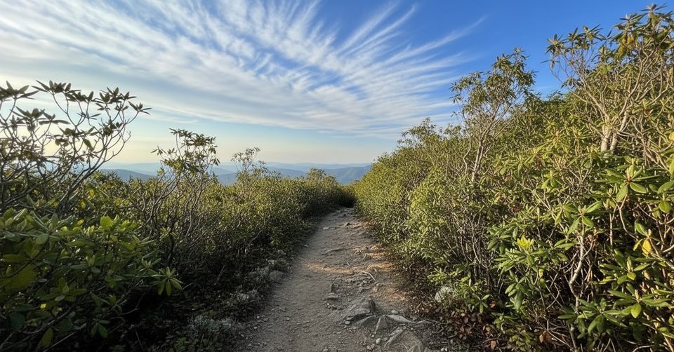
Brushy Mountain is a shoulder of Mount LeConte that rewards the climb with sweeping views in multiple directions and a satisfying mix of wildflowers, rhododendron–laurel tunnels, and Smokies history. It’s a stout day hike, but the payoff at the semi-circular summit clearing (and a short continuation beyond) makes it a local favorite for hikers who like some effort with their scenery.

Route Options

  • Via Porters Creek (Greenbrier): About 11.5–11.7 miles round trip with roughly 3,000 feet of gain. The first mile follows the wide Porters Creek Trail before you peel onto the Brushy Mountain Trail for a sustained 4.5-mile climb to Trillium Gap, then a short, gentle rise to the top.
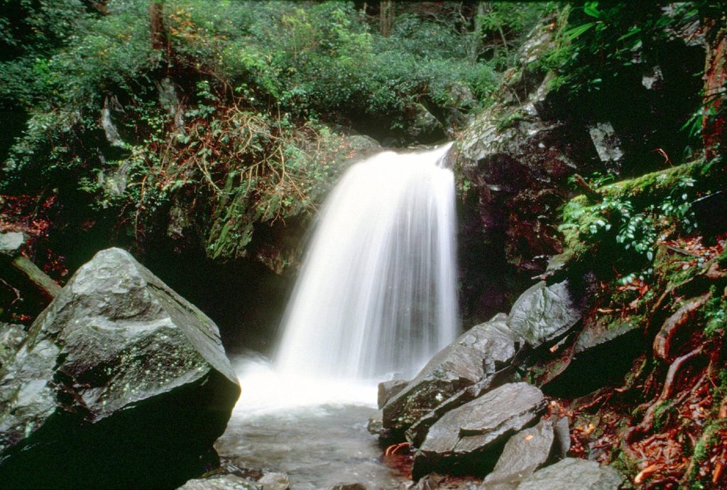
  • Via Trillium Gap (Roaring Fork/Grotto Falls): About 6.6–7.0 miles round trip with roughly 1,745–2,000 feet of gain. Expect crowds up to Grotto Falls; traffic thins considerably past the waterfall.

What You’ll See

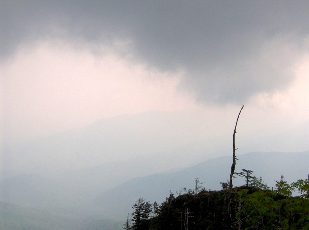
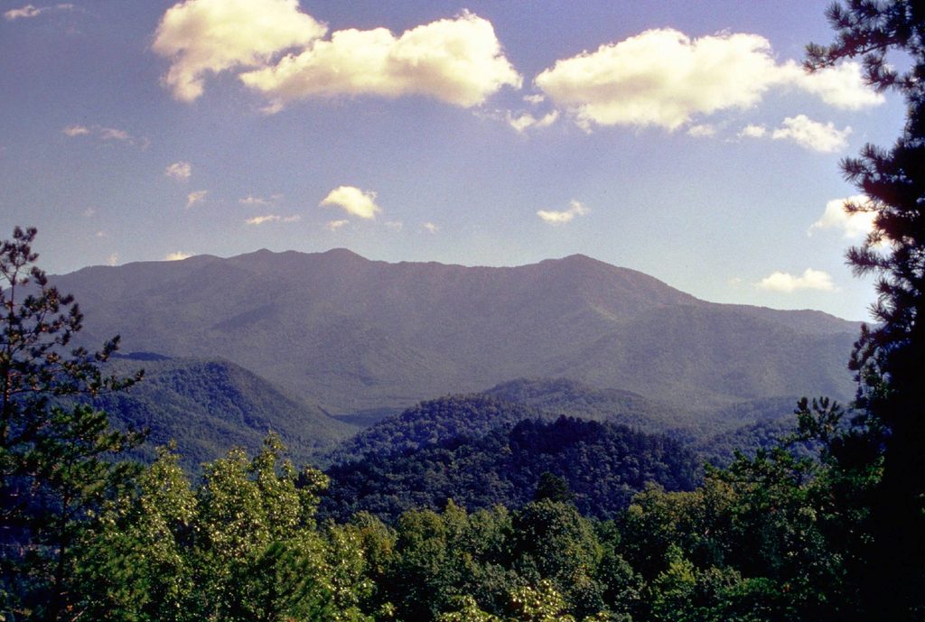
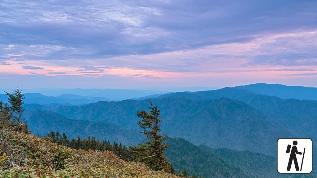
  • Views: From the summit clearing you’ll spot Charlies Bunion, Mount Sequoyah, Mount Chapman, and Mount Guyot, with Mount LeConte looming to the south. Continue a few steps beyond the clearing for bonus views north to Webb Mountain, the Greenbrier valley, and even Pigeon Forge.
  • Wildflowers and forest: Spring brings yellow and painted trillium, violets, stitchwort, and lush mossy sections—especially on the Greenbrier side. Near the top, rhododendron and mountain laurel form classic Smokies “tunnels.”
  • Waterfall option: If you take the Trillium Gap approach, Grotto Falls is on the way (you can walk behind it). Rocks there stay slick—step carefully.

Human History Along Porters Creek

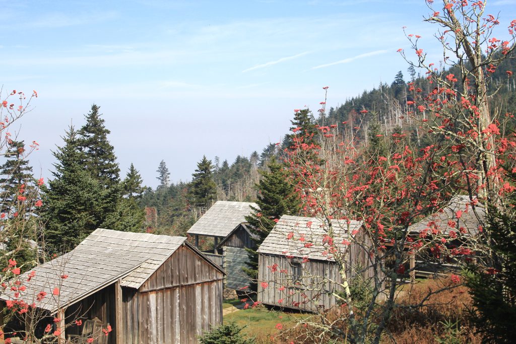
The Greenbrier approach doubles as a mini-history tour: old stone walls from the Elbert Cantrell farmstead, the Ownby Cemetery, and a short spur to the John Messer farm site with a cantilevered barn (c. 1875) and a 1930s Smoky Mountain Hiking Club cabin used into the 1980s.

Trail Conditions and Safety

This is a sustained climb with steep grades. Expect occasional mud, overgrowth, and blowdowns, especially near the summit. Trekking poles help on the descent, and waterproof footwear earns its keep. Black bears are common—give them space and secure your food. In wet or cold weather, rocks around Grotto Falls are especially slick.

Best Time to Visit

Late spring into summer is prime for blooms like mountain laurel and painted trillium. Start early to secure parking (especially at Trillium Gap) and to give yourself time for the mileage. Note that the Roaring Fork Motor Nature Trail (access for Trillium Gap) is closed from December to mid-March; when closed, starting elsewhere adds mileage.

Logistics

A park parking tag is required. Don’t expect restrooms at these trailheads—plan ahead. Cell service is spotty; download an offline map before you go.

Pros

  • Two great approaches: via historic Porters Creek or Grotto Falls
  • Big summit views with an extra north-facing viewpoint just beyond

Cons

  • Long, sustained climb with significant elevation gain
  • Can be muddy, overgrown, and crowded near Grotto Falls; parking fills early

Tips

  • Choose your approach: Porters Creek for history and solitude, Trillium Gap for a shorter day with Grotto Falls.
  • From the summit clearing, continue about 50 feet for the best north-facing view.
  • Roaring Fork access to Trillium Gap is closed Dec–mid‑March; alternate starts add ~3.4 miles round trip.
  • Arrive early—parking at Trillium Gap fills quickly due to Grotto Falls.
  • Bring trekking poles and waterproof footwear; expect mud and overgrowth near the top.
The Parkwolf tour guide sitting on a phone mounted in a car

Parkwolf Tour Guide

Like a tour guide in your car.

Save the places you found around Great Smoky Mountains, then let Parkwolf guide the drive between them.Download Parkwolf on the App Store