Place · 0 mi away
Moderate

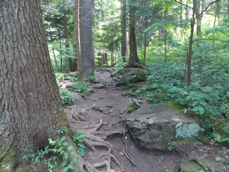
Porters Creek Trail is a classic Greenbrier ramble: a mellow start along a lively creek, layers of Smokies history, and a fern-framed cascade most hikers use as their turnaround. Expect a mostly moderate hike with occasional roots, rocks, and a couple of narrow footlogs. The popular out-and-back to Fern Branch Falls is about 4.0 miles total; the full hike continues beyond the falls to Backcountry Campsite 31 for roughly 7.2–7.4 miles round trip with a steady, mostly uphill push near the end.
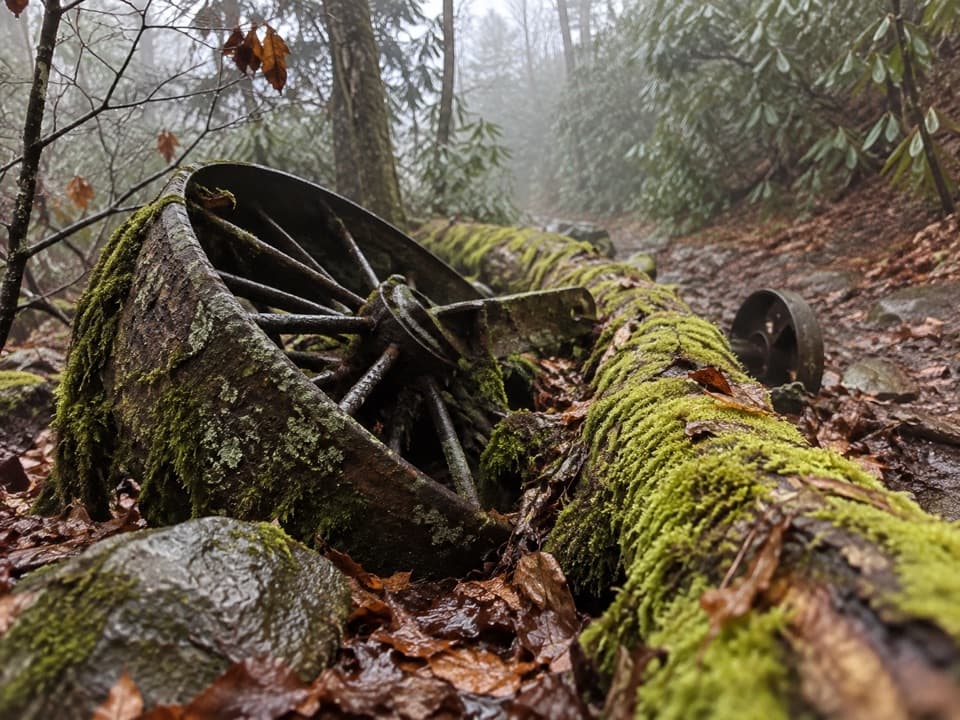
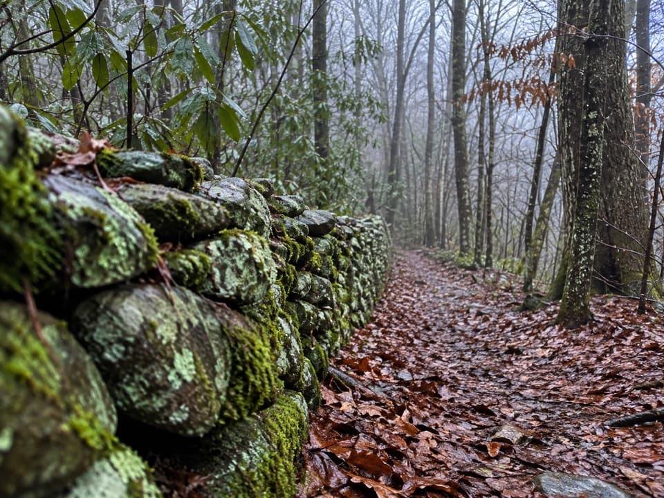
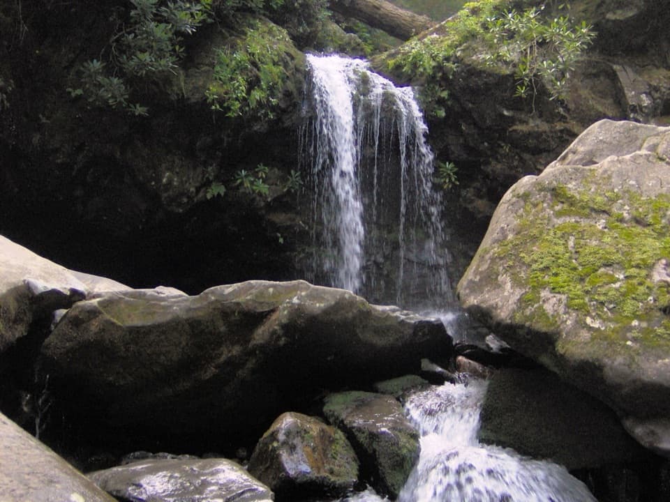
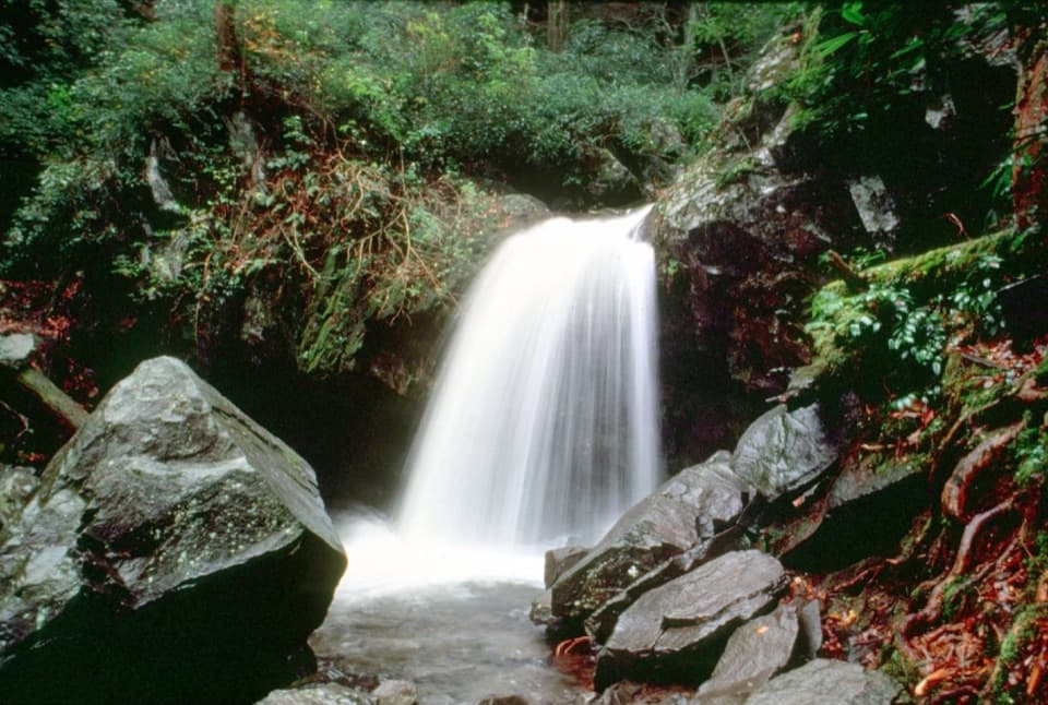
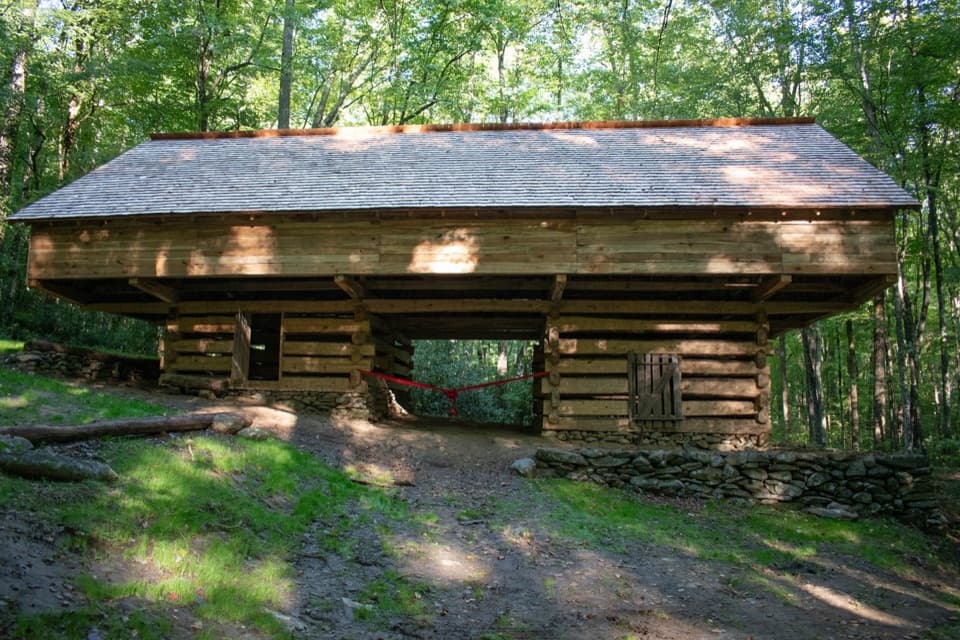
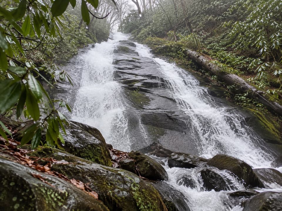
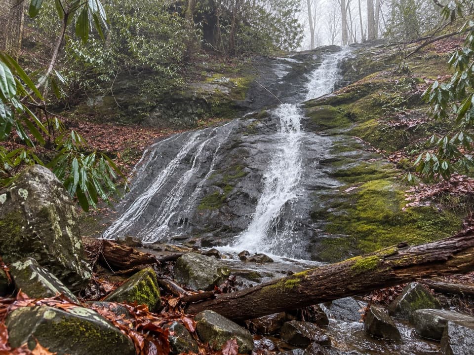
The first mile follows an old gravel road beside Porters Creek—easy walking with plenty of creek views. Around two-thirds of a mile in, look for old stone walls from the Elbert Cantrell homestead and a short stair-step path to the Ownby Cemetery. At about one mile, a right spur leads a short way to the John Messer farm site, where you’ll find John Whaley’s 1875 cantilevered barn and the Smoky Mountain Hiking Club cabin from the 1930s. Beyond the spur, the main trail narrows into older forest, crosses another footbridge, and gently climbs to Fern Branch Falls—an airy, roughly 40-foot cascade veiled in mosses and ferns.
This is generally moderate: a gradual grade with a few rocky, rooty, and occasionally muddy sections. Footing gets rougher near the falls and beyond toward Campsite 31. Two narrow single-log footbridges can feel exposed to those with height jitters. Sturdy footwear (and trekking poles if you like) pays off—especially after rain when rocks and wood can be slick.
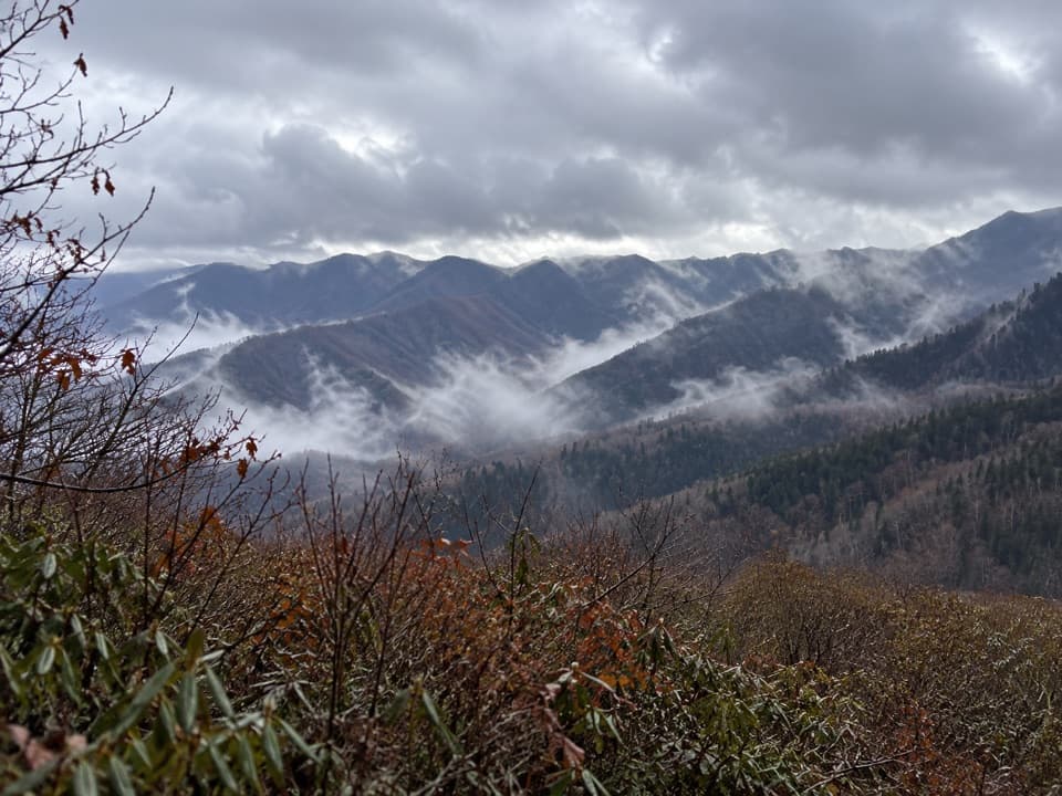
In spring, the Greenbrier valley is a wildflower show—think carpets of trillium, bloodroot, phacelia, and violets under a bright-green canopy. The creek corridor and cool, shaded forest make this a pleasant summer option. Wildlife sightings here can include black bears, white-tailed deer, and salamanders—give animals space and keep your snacks secured.
Spring is the sweet spot for wildflowers and soft light filtering through new leaves. Start early to enjoy quieter bridges and easier parking. Summer stays cooler along the creek, but expect more mud after storms. Because Greenbrier sits lower, winter access is often good when high-elevation roads are iffy—just watch for ice on footlogs. For photography, morning light works best for the falls and creek scenes.
Fern Branch Falls is easy to walk past. After a small stream crossing near two miles, look up and left through the trees for a faint side path to better views of the cascade. If hornets are active (often reported in late summer about a mile past the falls), consider making the waterfall your turnaround rather than pressing on toward Campsite 31. The small trailhead lot fills by late morning on busy days—arrive early, and make sure you have the required parking tag.
Small gravel lot at the end of Greenbrier Road: from Gatlinburg Light #3, drive ~6 miles east on US-321, turn right at the Greenbrier entrance, go ~3.1 miles, keep right at the fork, then ~0.9 miles to the trailhead. Lot fills early; parking tag required.

Watch for aggressive hornets about a mile past the falls in late summer; narrow single-log footbridges and slick rocks/wood after rain; footing gets rockier near the falls.