
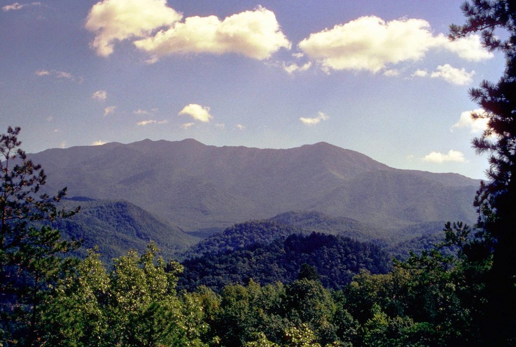
Place · 0.2 mi away
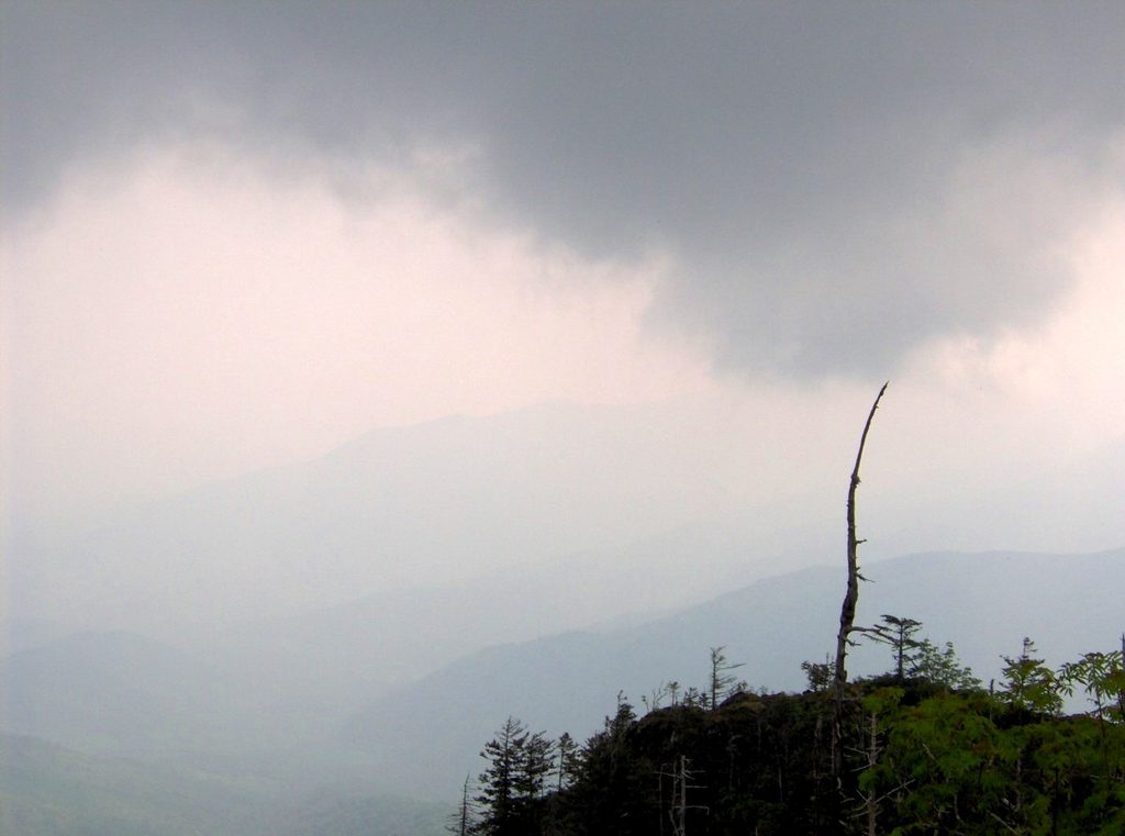
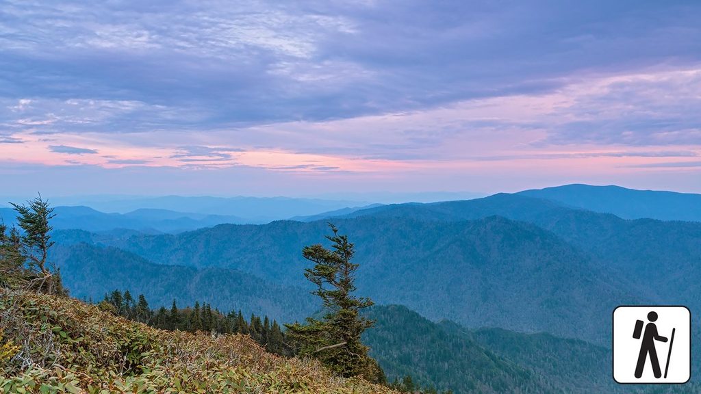
Myrtle Point is Mount Le Conte’s cliff-edge, east-facing overlook—famous for grand, wraparound views and the best sunrise on the mountain. It’s a worthy add-on if you’ve made the climb to Le Conte: High Top is the true summit (no views), Cliff Tops is the marquee sunset spot, and Myrtle Point is your sunrise perch.
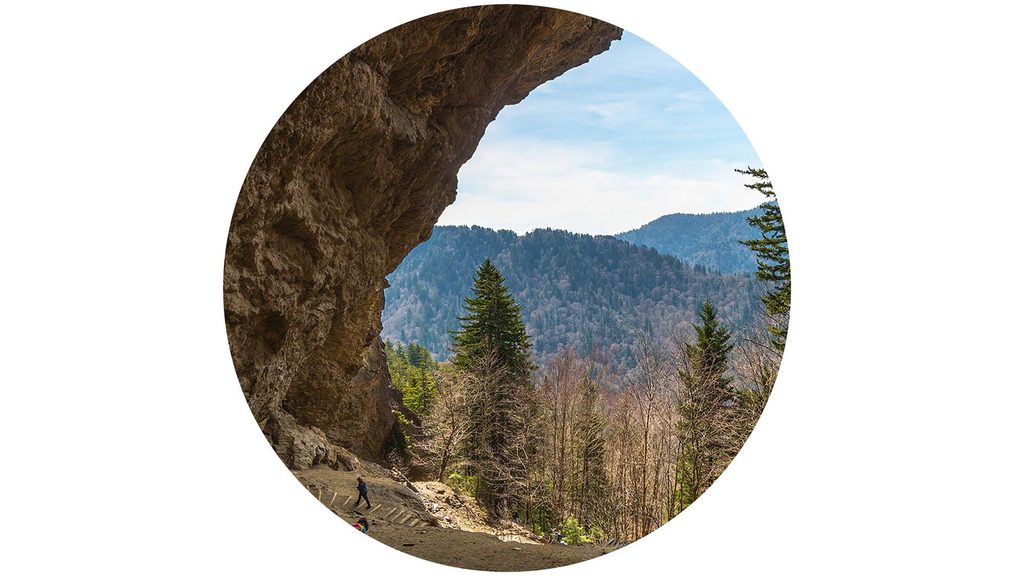
Most hikers reach Myrtle Point via the Alum Cave Trail. Landmarks stack up quickly: Arch Rock (stone steps through a short tunnel), Inspiration Point, and the huge concave Alum Cave Bluffs. Continue past the Le Conte Lodge area to High Top (rock cairn), then keep going; at the fork, turn right to the short spur leading to Myrtle Point.
Plan on roughly 11–12 miles round trip with over 3,000 feet of climbing when you include side trips to Cliff Tops and Myrtle Point. It’s a hard but non-technical day: expect sustained elevation, rock and root hopping, a few narrow sections with hand cables, and slippery footing in wet weather. Allow 6–8 hours for most hikers. Fog is common—waiting 10–30 minutes can reveal dramatic clearing.
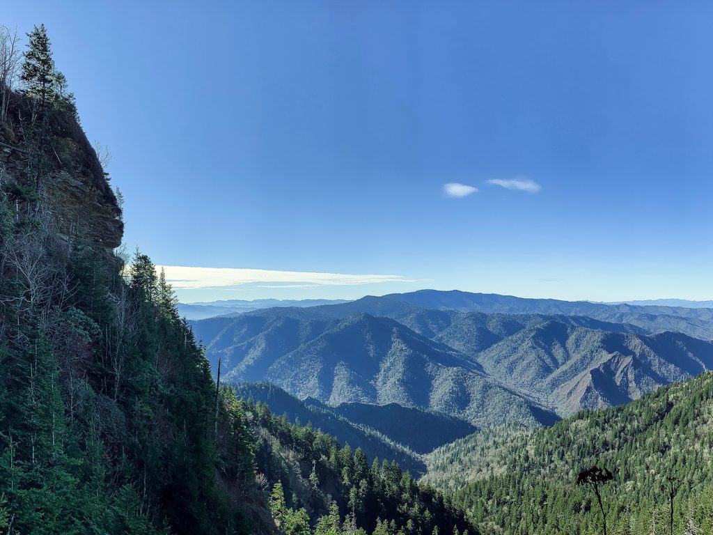
Myrtle Point sits on Le Conte’s eastern rim, delivering unobstructed, big-sky panoramas—especially stunning at first light. If you have the energy after visiting the lodge area and High Top, this spur pays off with wide horizons and that quintessential Smokies layer-cake of ridgelines.
There are no facilities at Myrtle Point or along the spur. Restrooms are available at the Alum Cave trailhead, and there are flush toilets at the mountaintop lodge area. Carry plenty of water; you can refill near the lodge, but plan to be self-sufficient for the round trip.
A parking pass is required for the park, and the Alum Cave lots are small with no roadside parking. Weather on Le Conte is often cooler and windier than in the lowlands; layer up and pack a rain shell. Trekking poles help on the long descent. Cell service is spotty to nonexistent.
Place · 0.2 mi away
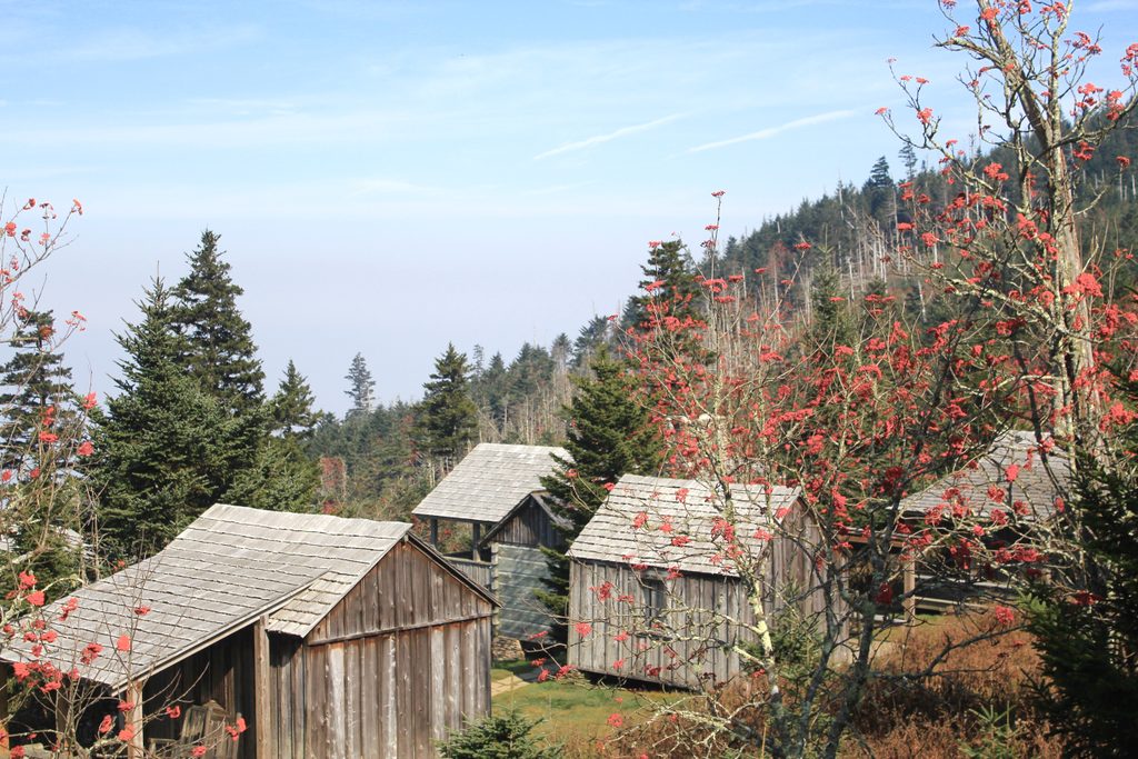
Place · 0.2 mi away
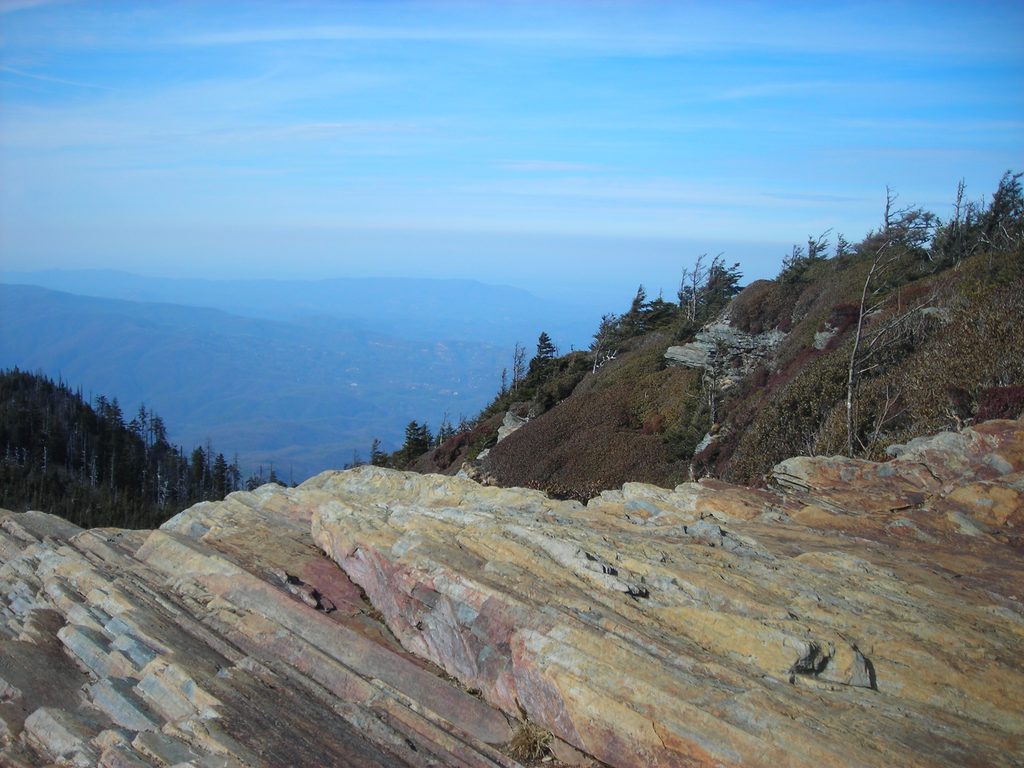
Place · 0.6 mi away
Place · 1.3 mi away
Moderate · 2 mi away
Challenging · 2.4 mi away
Challenging · 2.5 mi away
Challenging · 3 mi away

Parkwolf Tour Guide
