Overview
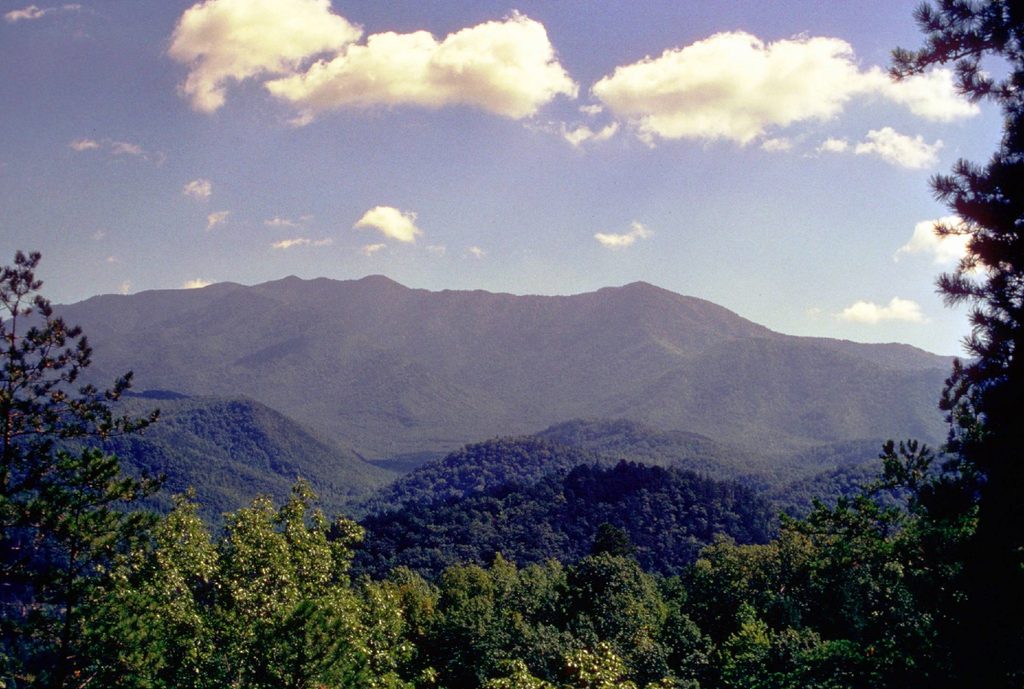
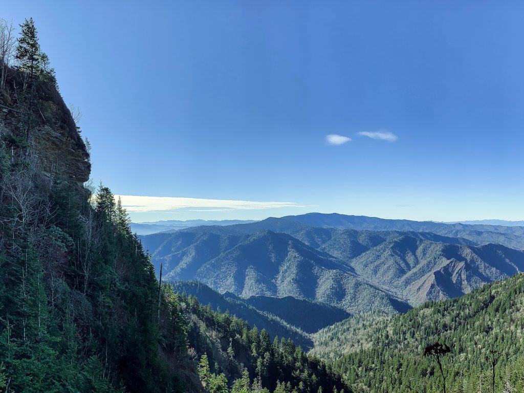
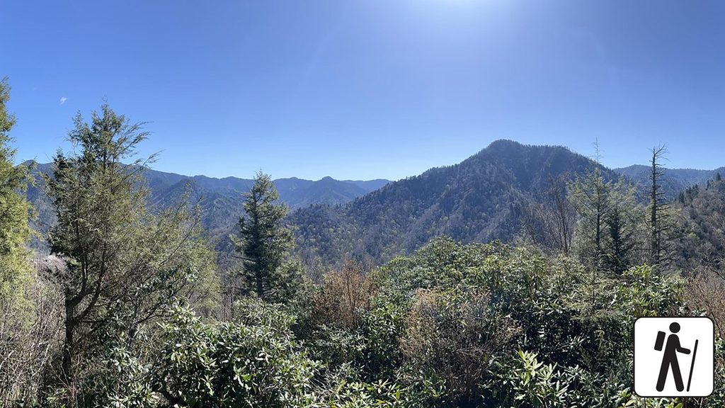
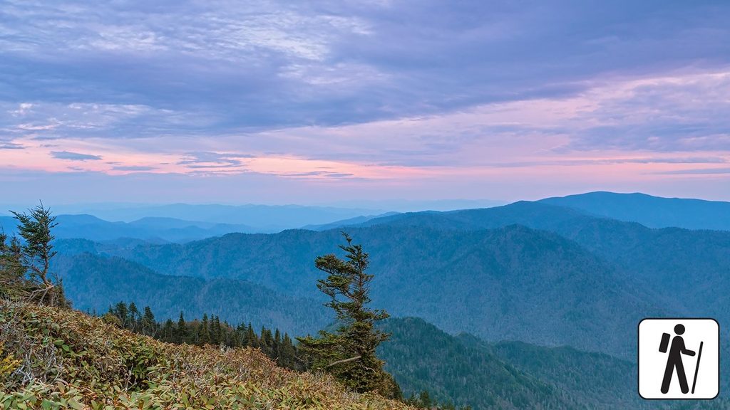
Mount Le Conte tops out at 6,593 feet, making it one of the Smokies’ highest peaks and a favorite summit for hikers. There’s no road to the top—your reward for the climb is an old‑school mountain outpost (LeConte Lodge), cool spruce–fir forest, and sweeping ridgelines. High Top is the true summit (wooded, no views), so the money views come from short spurs to Myrtle Point and Cliff Top. Le Conte is also often touted as a “tallest by rise” mountain in the East thanks to its huge vertical relief from Gatlinburg.
Best Routes up
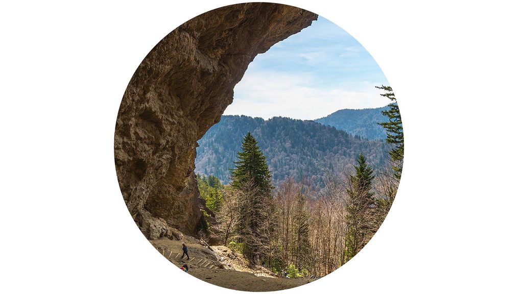
- Alum Cave Trail (about 5.0 mi to the lodge; ~5.5 to High Top): The classic—Arch Rock, Inspiration Point, the massive Alum Cave Bluffs, airy ledges with fixed cables, and big scenery packed into the shortest approach.
- Rainbow Falls Trail (6.7 mi to the lodge): The park’s tallest single‑drop waterfall at 80 ft early on, then a steady grind with shade and occasional overlooks.
- Trillium Gap Trail (6.7 mi to the lodge): Pass behind Grotto Falls and watch for the lodge’s supply llamas on scheduled days; wildflower pockets and old‑growth feel.
- Bullhead Trail (6.9 mi to the lodge): Broader views and rock features; note rehabilitation closures Mondays–Thursdays (excluding federal holidays) through Nov 6, 2025.
- The Boulevard Trail (8.1 mi from Newfound Gap): A scenic ridge walk that tags the true summit area; links briefly with the Appalachian Trail, with spurs like The Jump Off.
All routes are strenuous, 10+ miles round trip, and some include narrow, wet/icy ledges—plan accordingly.
Viewpoints to Target
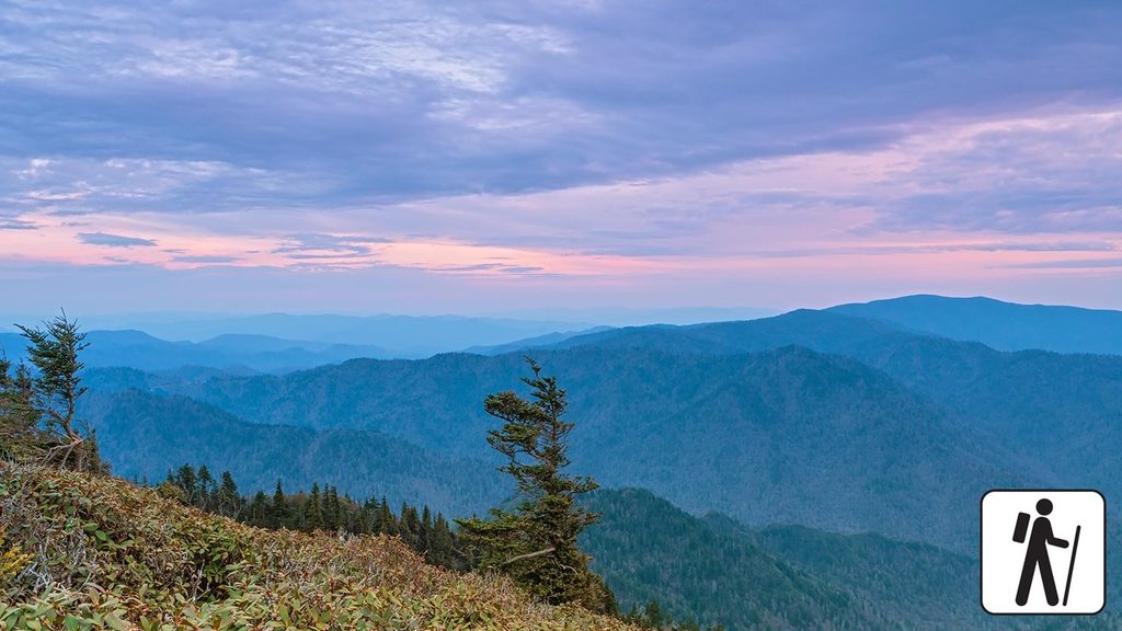
- Myrtle Point: Near‑360° and the prime sunrise perch; a short spur beyond the summit area.
- Cliff Top: The go‑to sunset spot above the Tennessee side, signed from the lodge area.
- High Top: True summit cairn in the woods—tag it, then head to the viewpoints for vistas.
LeConte Lodge Experience
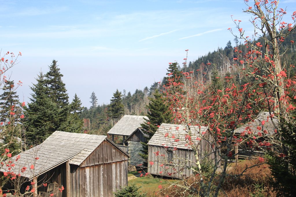
Perched just below the summit, the lodge is a rustic, off‑grid stay: kerosene lanterns, propane heat, linens, rocking‑chair porches, and flush toilets but no showers. Meals are served family‑style (dinner and breakfast), and most dietary needs can be accommodated with advance notice. Day hikers are welcome during posted hours to buy sack lunches and souvenirs (including the “I Hiked It” shirt). Potable water is available in season; in the off‑season the spigots are off and hikers use/treat natural sources nearby. Cell service is spotty—assume you’re offline.
Nature, History & Geology
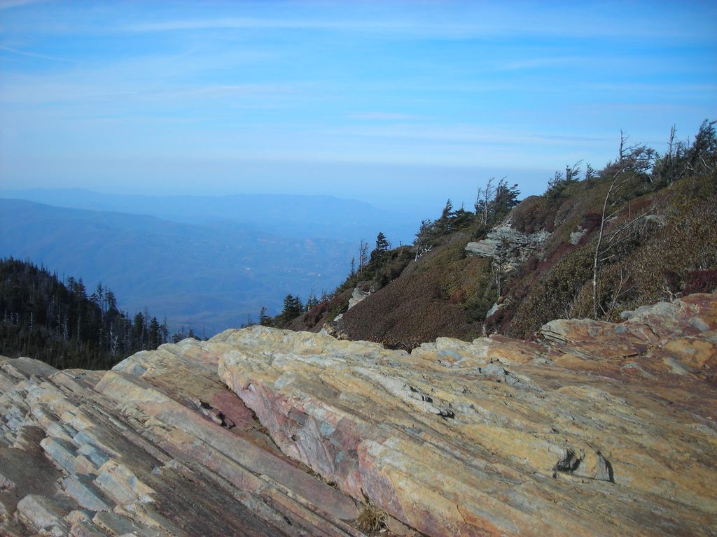
Expect rhododendron tunnels down low and a high‑elevation spruce–fir cap up top. Spring wildflowers brighten many routes; peregrine falcons are occasionally spotted near cliffy overlooks, and black bears and red squirrels frequent the lodge area—store food properly. The rocks under your boots began as ancient seafloor sediments that were crumpled, uplifted, and metamorphosed into today’s hard sandstones and slates; relentless erosion smoothed the Smokies into their rounded, misty profiles.
Planning & Safety
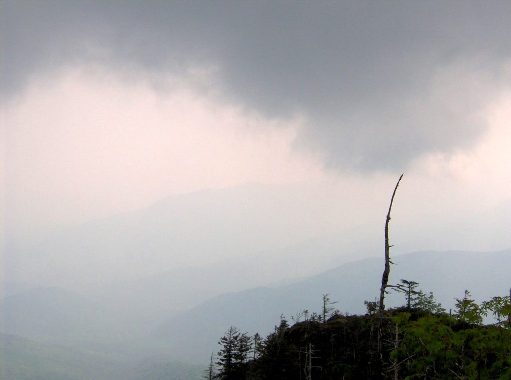
- Weather swings fast: carry layers, rain shell, and a headlamp. Ledges can be wet, and winter brings ice and falling icicles—traction helps.
- Parking at popular trailheads (especially Alum Cave) fills around sunrise on busy days. A park parking tag is required for vehicles.
- Portions of Alum and Boulevard traverse narrow sections with fixed cables—use care in storms, freeze‑thaw, or winter conditions.
- Check current trail conditions and closures; Bullhead has weekday rehab closures through Nov 6, 2025.
Best Time to Visit
- Time of day: Start at dawn for cooler temps, lighter crowds, and easier parking. If you’re overnighting, plan Myrtle Point at sunrise and Cliff Top at sunset.
- Season: Summer brings afternoon thunderstorms; start early. Winter can be gorgeous but icy. In fall, late‑morning to afternoon often yields clearer skies. Weekdays are generally quieter than weekends.