
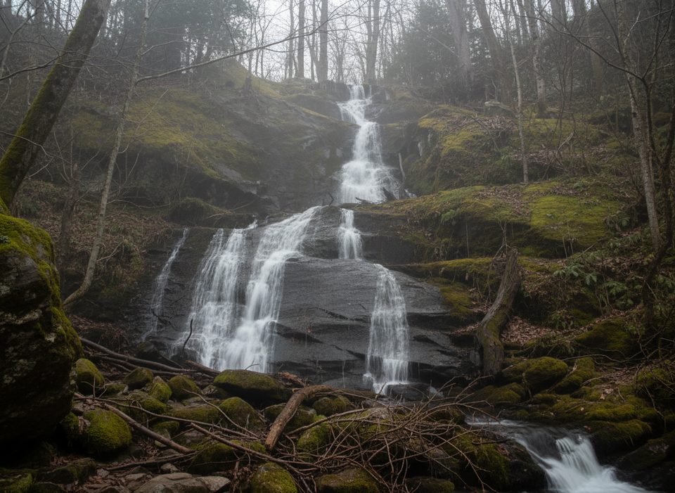
Place · 0 mi away
Challenging
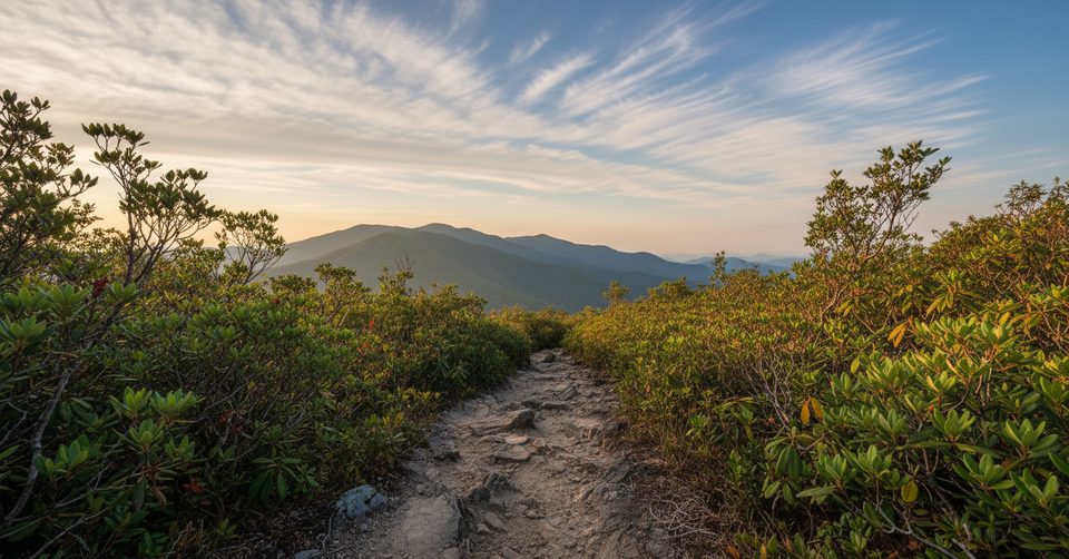
Brushy Mountain tops out in a classic heath bald with big Smokies views and a satisfying sense of effort well spent. You can reach it two ways: a longer, quieter climb from Greenbrier’s Porters Creek, or a shorter, busier approach via Trillium Gap past Grotto Falls. Either way, expect a steady ascent, lush forest, and a short, view-packed spur to the summit clearing.
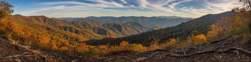
This one’s about verdant forest and that heath bald finish. Spring brings wildflowers like trillium; old-growth vibes and big eastern hemlocks line parts of the Trillium Gap route. Near the top, rhododendron, mountain laurel, and sand myrtle create green tunnels. At the summit clearing, scan the skyline for Charlies Bunion, Mount Sequoyah, Mount Chapman, Mount Guyot, Mount Le Conte, Webb Mountain, the Greenbrier valley, and even Pigeon Forge on a clear day.
Overall, it’s moderate to strenuous. The Greenbrier side is a sustained climb with rocky sections and switchbacks that add up. The Trillium Gap side is shorter but can be slick near the falls and muddy after rain. Both approaches can have overgrown stretches and occasional blowdowns. Trekking poles are worth their weight on this one; long sleeves help if brush is encroaching.
Late spring and early summer deliver blooms; fall adds color and clearer views. Start early for cooler temps, better parking, and softer light at the summit. Roaring Fork Motor Nature Trail (access for Trillium Gap) is typically open spring through late fall and closes in winter; in that season, the Porters Creek approach is the reliable option.
Parking at Trillium Gap fills quickly thanks to Grotto Falls—arrive early. The Roaring Fork road is narrow, one-way, and seasonally closed. The Porters Creek lot in Greenbrier is usually calmer and makes for a more solitude-forward day with bonus historic sites via short spurs. Bring plenty of water, snacks, and expect variable conditions; creek crossings and mud are common after heavy rain.
Dogs aren’t allowed on this trail (service animals excepted).
Two main trailheads: Trillium Gap via Roaring Fork Motor Nature Trail (one-way, seasonal, very limited parking) and Porters Creek in the Greenbrier area (typically quieter). Arrive early; a park parking tag is required.
Expect sustained elevation gain, overgrown stretches, mud, slick rock near Grotto Falls, and occasional blowdowns. Creek crossings can rise after rain. Roaring Fork road is seasonal and one-way. No dogs on the trail (service animals excepted).
Place · 0 mi away
Place · 0.5 mi away
Place · 0.9 mi away

Place · 1.9 mi away
Moderate · 0 mi away
Moderate · 0.8 mi away
Challenging · 0.9 mi away
Challenging · 1.7 mi away

Parkwolf Tour Guide
