
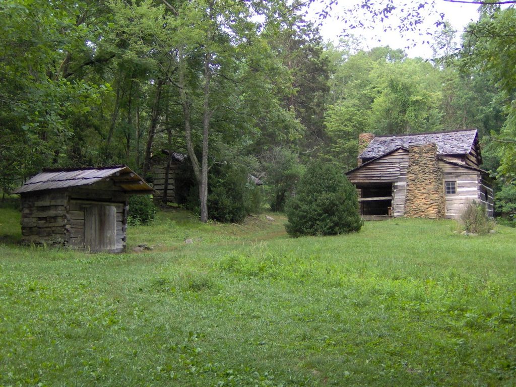
Place · 1.2 mi away
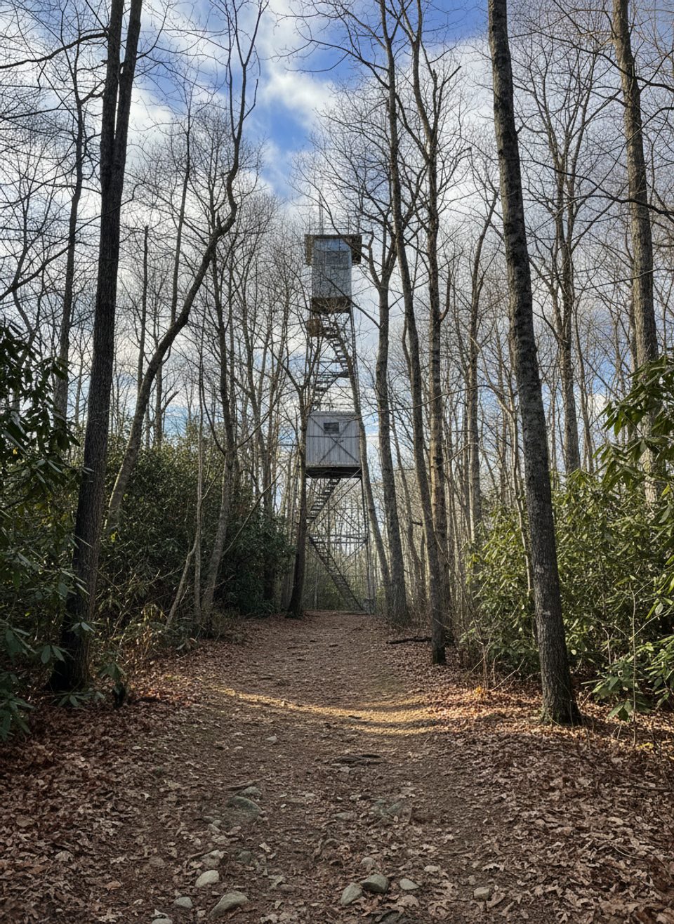
If you like a good forest ramble with a dash of Smokies history, the Cove Mountain Fire Tower delivers. The 60‑foot steel lookout (built by the CCC in 1935) caps the 4,077‑foot summit of Cove Mountain. You can’t climb it—it’s now an air‑quality monitoring site—but the hike is peaceful beyond the frenzy of Laurel Falls, and the tower is a rare survivor, one of only four left in the park.
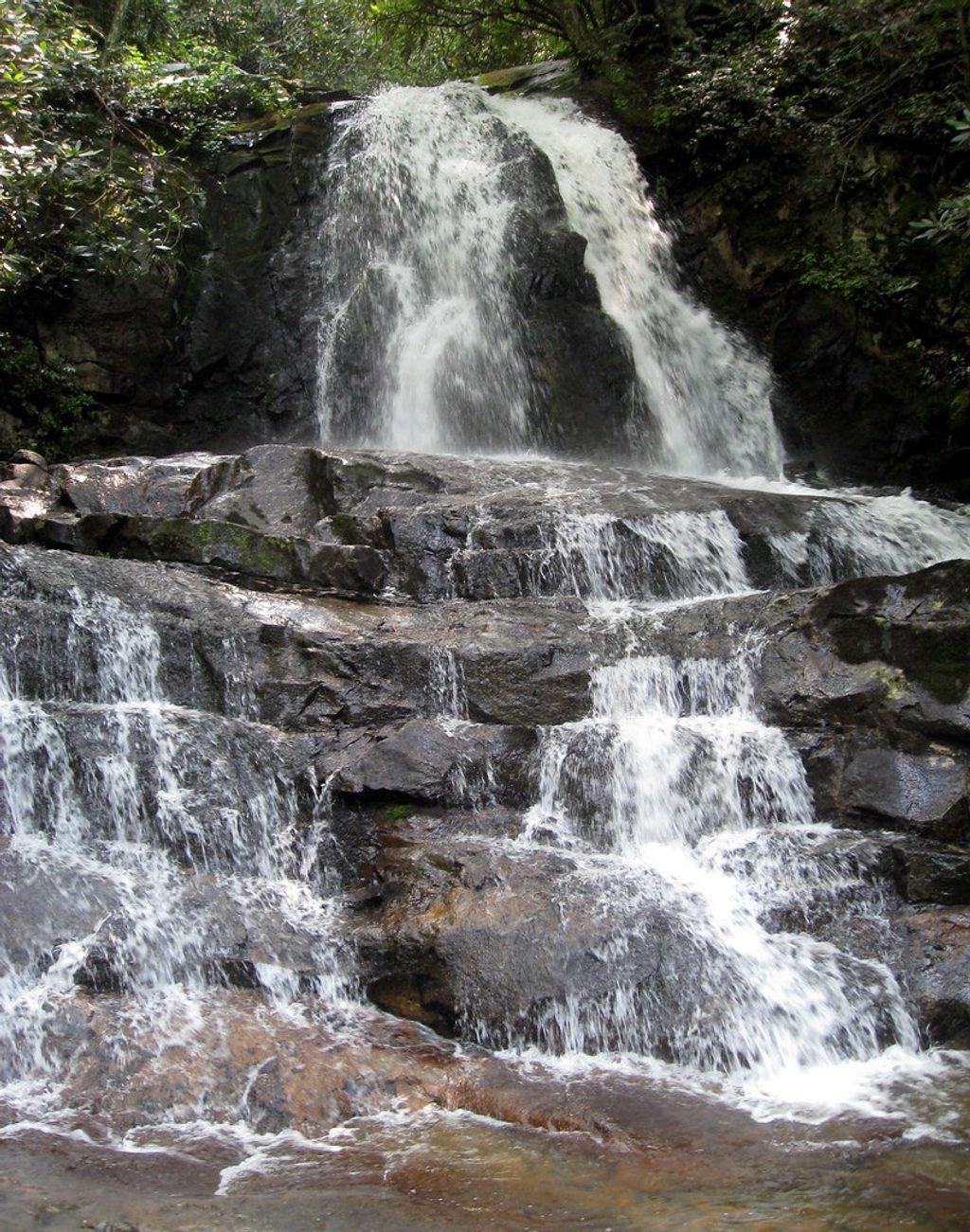
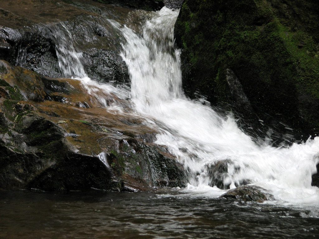
Most people reach the tower via the Laurel Falls Trail, a paved 1.3‑mile climb to the 80‑foot waterfall. Past the falls, the pavement ends and crowds thin as you wind through old‑growth forest on a gently graded old road. At about 2.8 miles you pass the Little Greenbrier junction; continue to meet the Cove Mountain Trail at 3.7 miles, then turn left for a brief stroll to the tower. Plan on roughly 7.7 miles round trip and a half‑day outing.
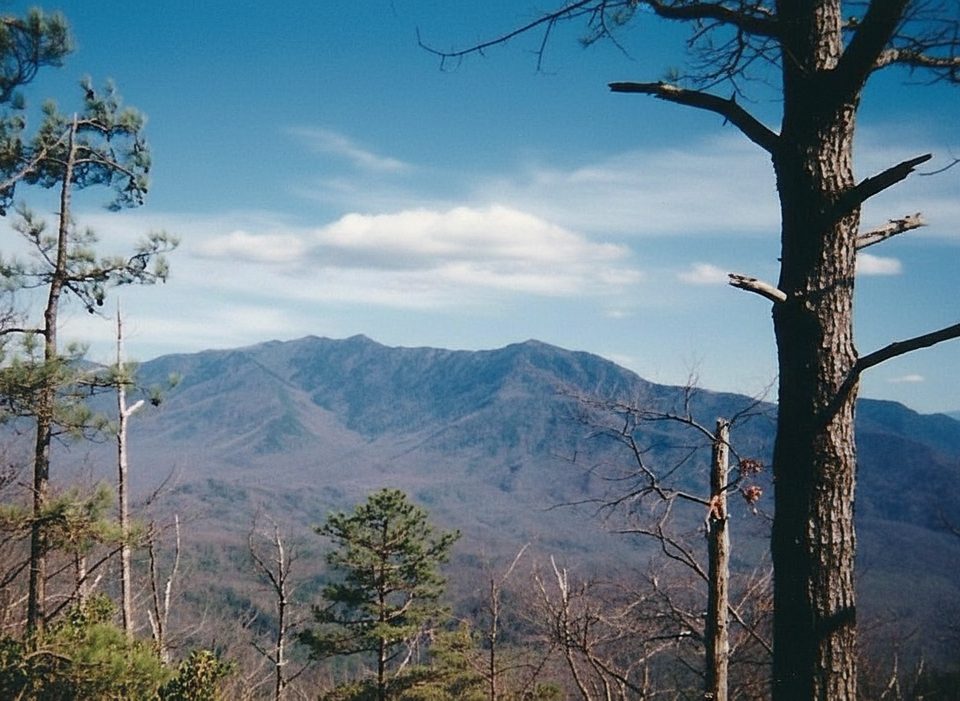
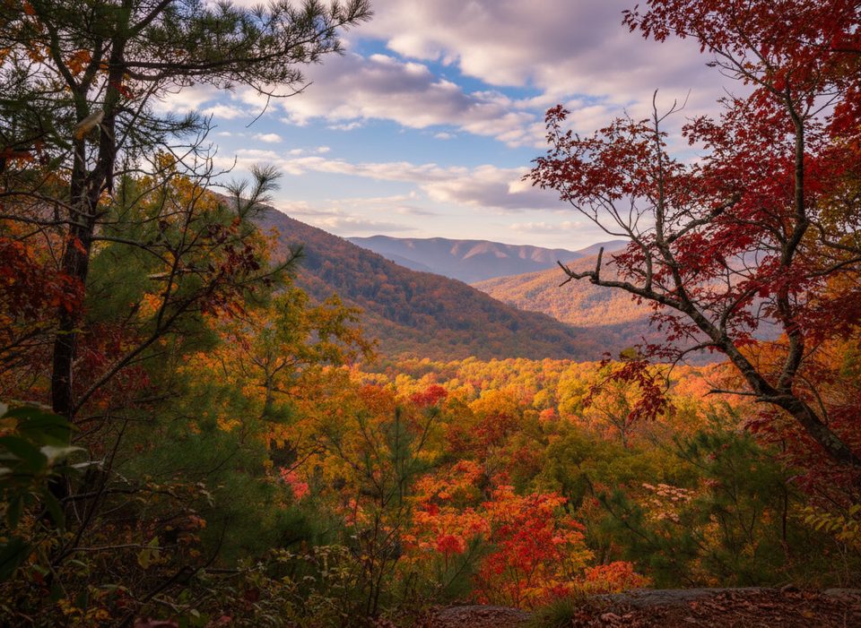
This is more about woods than wide‑open vistas. Expect big trees—tulip poplar, basswood, buckeye—and, in spring, a lively wildflower display carpeted across the forest floor. You’ll catch occasional peeks toward Mount LeConte before summer leaf‑out, and there’s a modest view toward Wear Cove in a power‑line clearing. After rains or spring melt, Laurel Falls puts on its best show.
The tower stands 60 feet tall on the summit. It’s closed to the public and used for air‑quality monitoring, so think of it as a historic destination rather than a lookout you can climb. Set expectations accordingly: the payoff is the journey and the solitude, not a big panorama from the top.
Right now, the standard approach via Laurel Falls is closed for an 18‑month rehabilitation, blocking access from that trail until roughly mid‑2026. During the closure, hikers sometimes piece together alternates along the Cove Mountain ridge (e.g., between Wear Cove Gap and the Park Headquarters side) with a shuttle—always verify current trailhead access and parking before committing. Ongoing road work and periodic washouts can also affect approaches. The park requires a parking tag for vehicles stopped more than 15 minutes; have one sorted before you set out.
There are no services at the tower or along the upper trail—no water, no restrooms, no picnic facilities. Use restrooms near Sugarlands Visitor Center before you go, carry plenty of water (the upper route is typically dry), and pack a snack. Re‑check the park’s current conditions the morning of your hike and have a backup plan in case closures shift.
Place · 1.2 mi away
Place · 1.3 mi away
Place · 1.9 mi away
Place · 2.4 mi away
Easy · 1.3 mi away
Moderate · 1.3 mi away
Easy · 1.9 mi away
Moderate · 2 mi away

Parkwolf Tour Guide
