Place · 1.3 mi away

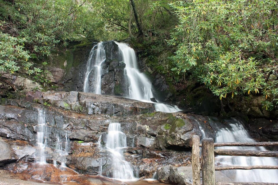
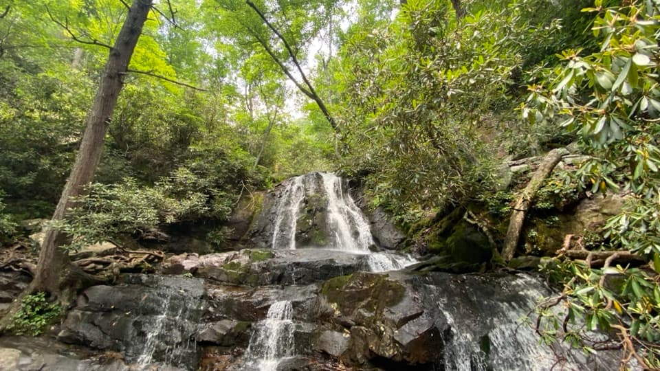
Laurel Falls is one of the park’s celebrity waterfalls—a 75–80 foot cascade named for the mountain laurel that blooms along the trail in spring. When open, it’s a quick, rewarding out-and-back (about 2.6 miles roundtrip) that climbs roughly 300+ feet to a classic Smokies scene.
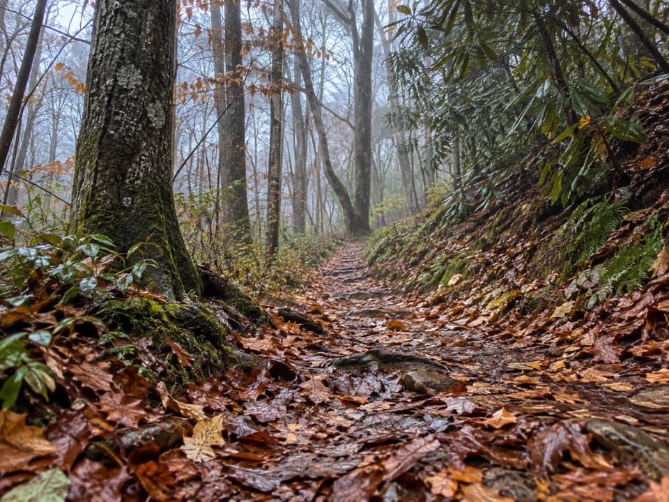
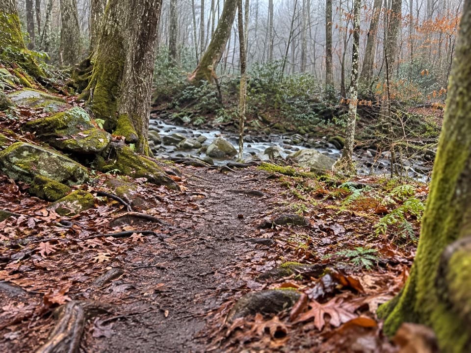
A mostly shaded path winds through hemlock and rhododendron to a two-tiered waterfall. A narrow walkway crosses the midsection, splitting upper and lower drops—great for photos and a close look at the flow.
Don’t let the pavement fool you: sections are cracked, uneven, and narrow, with steep drop-offs near the falls. It’s typically considered easy-to-moderate. Wear real hiking shoes, keep kids close, and skip the wet rocks—algae can be slick.
This is one of the park’s most popular hikes, and the small roadside lots (roughly a couple dozen spaces at the trailhead with a few tiny pull-offs nearby) fill early. Expect spillover parking down Little River Road and a congested trail in peak times. A parking tag is required if you’ll be parked more than 15 minutes.
You’re in bear country, and sightings—including sows with cubs—do happen even on busy days. Give wildlife plenty of space and follow all park guidance.
For fewer people and better photos, go early morning or late afternoon when surrounding ridges cast even light on the falls. Weekdays and shoulder seasons help with parking. Spring brings blooming mountain laurel; after rain, the flow is more dramatic.
The Laurel Falls Trail is closed for an approximately 18‑month rehabilitation beginning January 6, 2025. Access is closed from Little River Road and from the Little Greenbrier/Cove Mountain side. The Sugarland Mountain Trail and its parking lot are also closed during the project. While it’s closed, consider Grotto Falls, Lynn Camp Prong Cascades, or the Little River–Cucumber Gap–Jakes Creek Loop as worthy substitutes.