Parking
Park at Sugarlands Visitor Center; the trail starts behind the center. Vehicles parked longer than 15 minutes need a park parking tag.
Great Smoky Mountains National Park, TN · NC
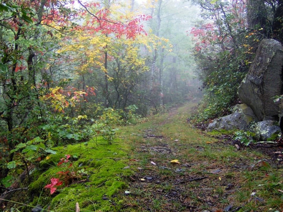
A long wooded ascent ends at the summit’s closed fire tower.
Overview
Map & elevation
Plan your hike

The highest, rockiest slopes around here are a summer buffet for grizzly bears.
Great Smoky Mountains Tour Guide
Parkwolf is a GPS audio tour guide for Great Smoky Mountains National Park. As you drive, it chimes in with what’s ahead: hidden gems, upcoming stops, history, geology, and wildlife, right through your car’s speakers.
See the Great Smoky Mountains audio tourRecorded for this trailhead
Sugarlands Visitor Center“You're coming up on Sugarlands Visitor Center, a useful stop if you want help choosing a walk that fits your day.”
Plays as you drive up to this trailhead in the Parkwolf Great Smoky Mountains Tour Guide.
More stories near here in the app
“Fantastic app with many points of information… It’s great to just turn on while you’re driving and it gives you an audio tour of the national Park. We love it!!!!”


Trail guide
Cove Mountain Trail climbs west from the Sugarlands Visitor Center area to the summit of Cove Mountain, an 8.5-mile one-way route through forest. The summit hike returns on the same trail for about 17 miles round trip; allow roughly 10 to 12 hours. It is a hard, sustained climb, not the short Cataract Falls walk nearby.
The trail begins behind the visitor center and reaches Cataract Falls within about the first tenth of a mile. Beyond the falls, a natural-surface path continues across the wooded ridge toward Mount Harrison and Cove Mountain. The climb gains roughly 2,700 feet before reaching the summit; the upper route remains mostly forested.
A fire tower marks the high point, but it is closed to visitors and the summit has limited views. Treat it as a landmark rather than an open lookout. Turn around there and return on the same corridor; this route is not a loop. The shorter approach from Fighting Creek Gap via Laurel Falls is a different itinerary and does not define this mapped trail.
Use the Sugarlands Visitor Center parking area; the trail entrance is behind the center. Vehicles parked longer than 15 minutes need a park parking tag. Pets are not permitted on this trail.
Wildlife
 1,569 sightingsBlack BearMost seen around 7 PMSighting map
 900 sightingsElkMost seen around 7 AMSighting map
 13 sightingsBald EagleMost seen around 9 AMSighting map
 142 sightingsTimber RattlesnakeMost seen around 6 PMSighting map
 26 sightingsBobcatMost seen around 8 PMSighting map
 42 sightingsRiver OtterMost seen around 7 AMSighting map
Sighting maps show where each species has been reported across Great Smoky Mountains. Wildlife moves, so no sighting is guaranteed.
Keep exploring
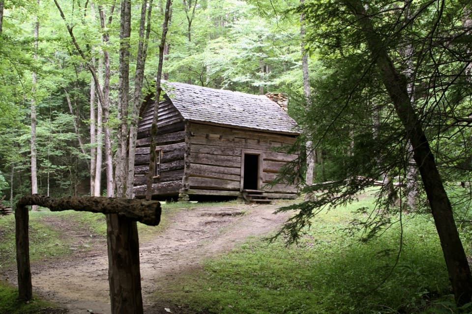 EasyFighting Creek Nature Trail1 mi · 30 min · 0.1 mi awayA short creek loop passes an 1860s mountain cabin.
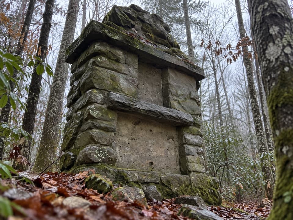 ModerateOld Sugarlands Trail7.7 mi · 4.5 hr · 0.2 mi awayFollow an old road past CCC ruins and a pioneer cemetery.
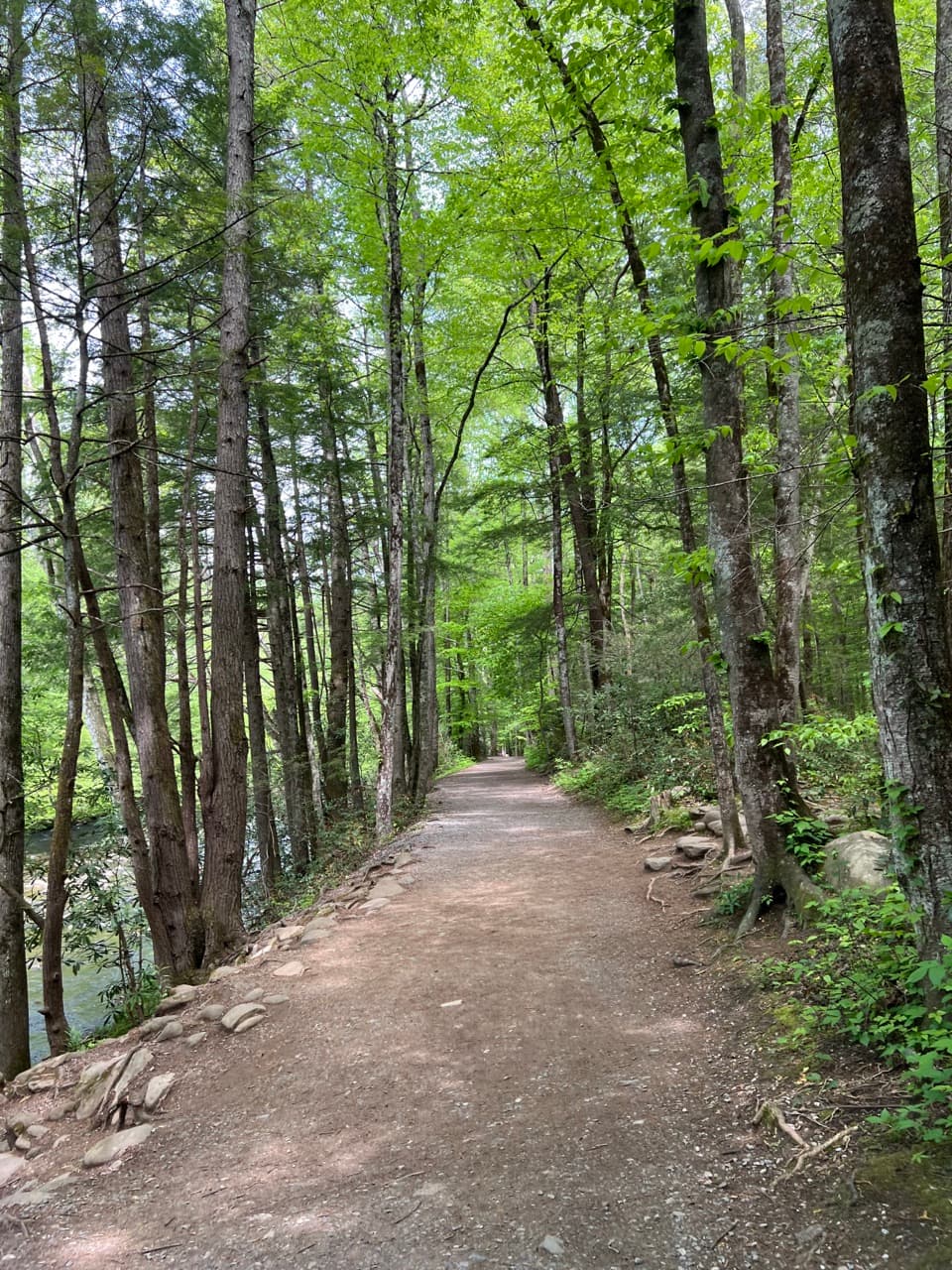 EasyGatlinburg Trail4 mi · 1.8 hr · 0.2 mi awayA gentle river walk where dogs and bikes are allowed.
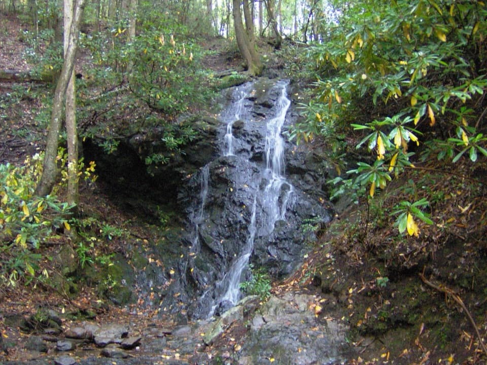 EasyCataract Falls Trail1.1 mi · 45 min · 0.2 mi awayA quick creekside walk leads to a narrow, 40-foot waterfall.
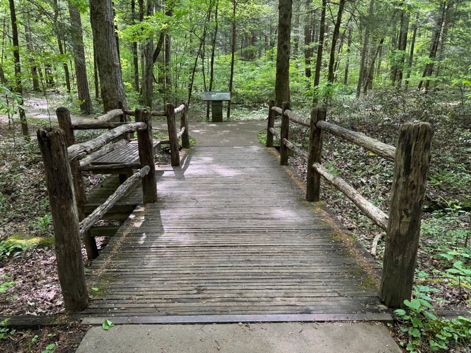 EasySugarlands Valley Nature Trail0.5 mi · 15 min · 0.7 mi awayA flat forest loop with chimneys, streamside views, and an easy pace.
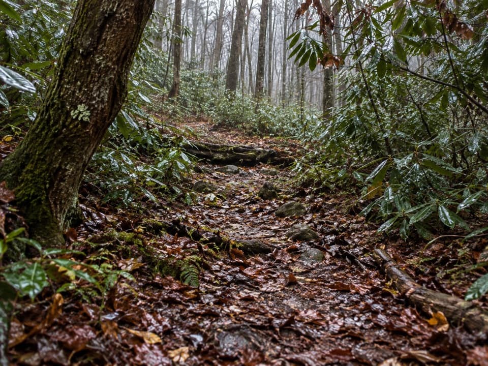 EasyBig White Oak Quiet Walkway0.7 mi · 30 min · 0.8 mi awayA quiet woods loop with four creek crossings and a long footbridge.
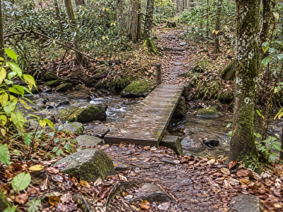 EasyBullhead View Quiet Walkway0.2 mi · 15 min · 1.3 mi awayA short riverside walk reached by steep steps and a creek bridge.
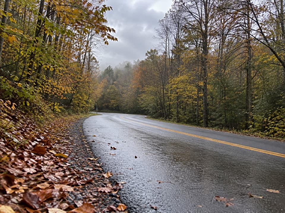 EasyHickory Flats Quiet Walkway0.8 mi · 36 min · 1.3 mi awayA cemetery loop and an old roadbed toward Hickory Flats Branch.
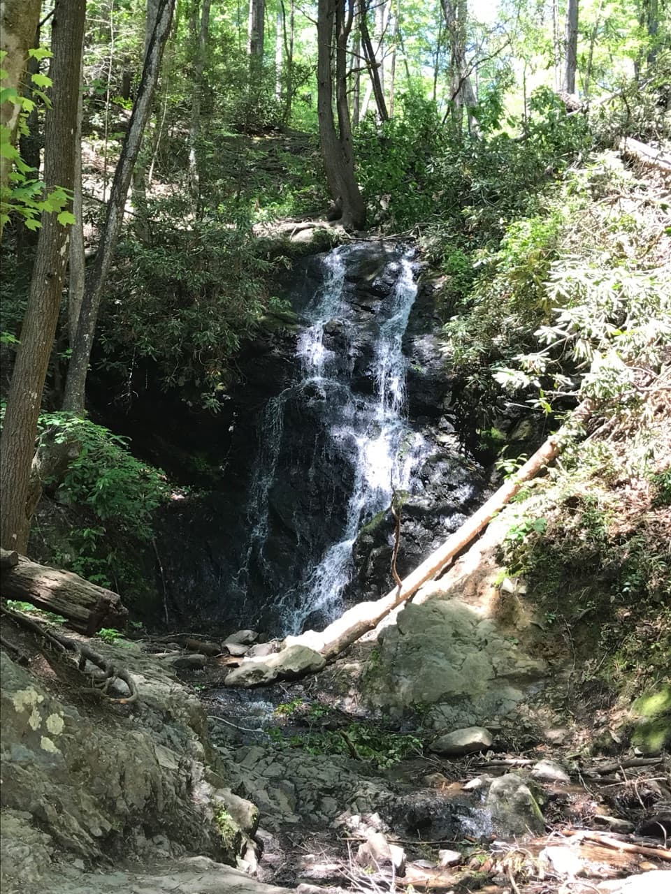 Sight · 0.1 mi awayCataract FallsA small waterfall after a short creekside walk from Sugarlands.
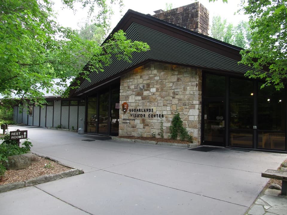 Visitor center · 0.2 mi awaySugarlands Visitor CenterGet your bearings with a bear exhibit, ranger advice, and trail map.
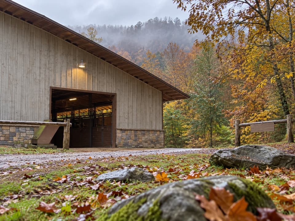 Sight · 0.4 mi awaySugarlands Riding StablesGuided rides on wooded trails, streams, and mountain terrain.Sight · 0.5 mi awayJohn Ownby CabinA short wooded walk to Sugarlands' last standing home.
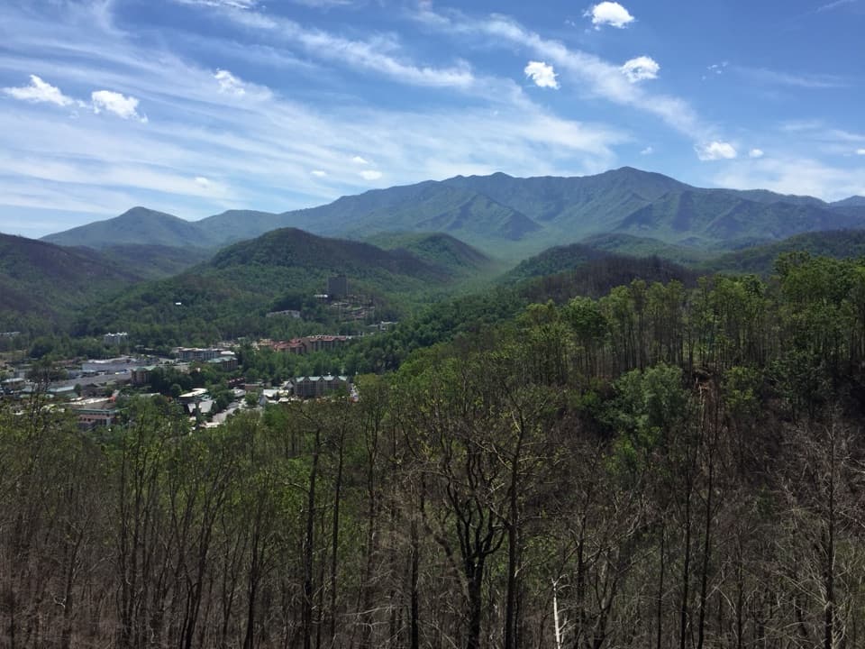 Scenic pullout · 1.7 mi awayGatlinburg Scenic OverlookGatlinburg below, Le Conte and the Smokies behind it.
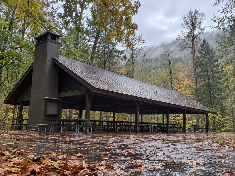 Picnic area · 2 mi awayTwin Creeks Picnic PavilionA wooded group pavilion for gatherings of up to 150.
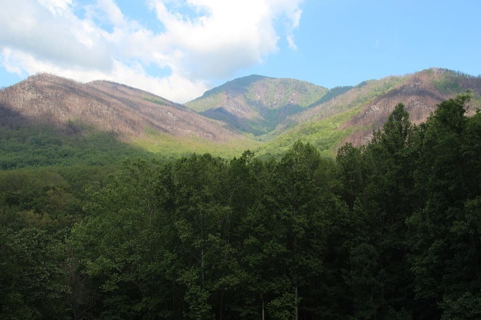 Scenic pullout · 2.1 mi awayCarlos Campbell OverlookA quick ridge view with a visible story of forest recovery.
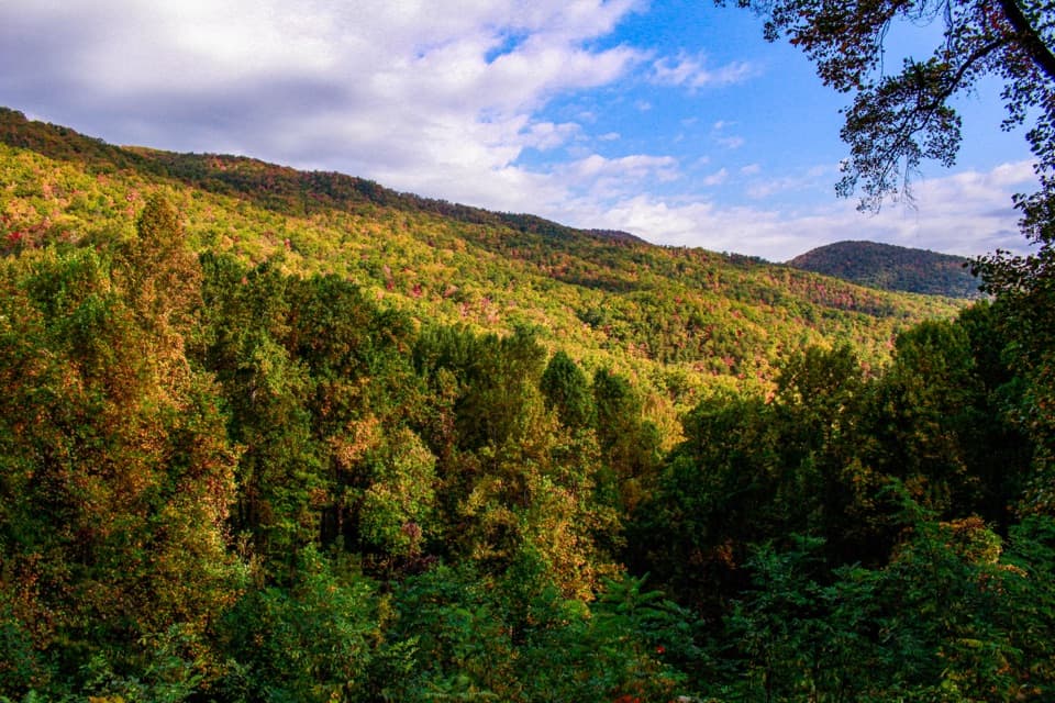 Scenic pullout · 2.3 mi awayMaloney PointA quick Little River Road stop for layered ridges and spring trillium.
Parkwolf’s Great Smoky Mountains ranking

The audio tour guide for the drive, plus offline maps, trails, and wildlife heatmaps for when the signal drops.





