Parking
Use Laurel Falls Trailhead on Little River Road, about three miles west of Sugarlands Visitor Center. The roadside lots often fill, so consider a shuttle. A parking tag is required for stays longer than 15 minutes.
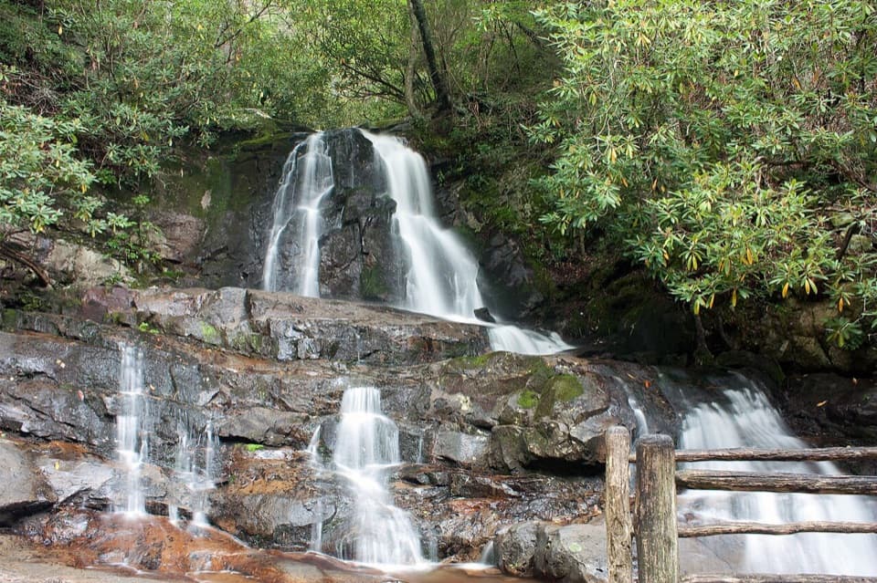
#9 of 197 trails in Great Smoky Mountains
Great Smoky Mountains National Park, TN · NC
A rough paved climb leads to an 80-foot Smokies waterfall.
Overview
Laurel Falls Trail is a 2.6-mile out-and-back from Little River Road to Laurel Falls and back. It climbs through mixed hardwood forest to an 80-foot waterfall, with a few mountain views on the way. That distance includes the full return; the waterfall is the turnaround, not an onward stop on a longer traverse. Allow about two hours at an unhurried pace, plus time at the falls. This is a strong choice if you want a recognizable waterfall payoff without committing to an all-day hike. It is popular, though, and not a quiet forest walk; expect to share the path and the viewing area.
 Parkwolf’s verdictIs this the waterfall walk for you?
Map & elevation
Plan your hike

The highest, rockiest slopes around here are a summer buffet for grizzly bears.
Great Smoky Mountains Tour Guide
Parkwolf is a GPS audio tour guide for Great Smoky Mountains National Park. As you drive, it chimes in with what’s ahead: hidden gems, upcoming stops, history, geology, and wildlife, right through your car’s speakers.
See the Great Smoky Mountains audio tourRecorded for this trailhead
Laurel Falls Trailhead“You're coming up on the Laurel Falls trailhead, where a forest hike leads to an eighty-foot waterfall in two tiers.”
Plays as you drive up to this trailhead in the Parkwolf Great Smoky Mountains Tour Guide.
More stories near here in the app
“Fantastic app with many points of information… It’s great to just turn on while you’re driving and it gives you an audio tour of the national Park. We love it!!!!”


Trail guide
Most of the route is paved, which makes it look easier than it feels. The pavement is rough and uneven in places, with short steep stretches and exposed edges. It is not a smooth, level path; take care on the downhill, especially when the surface is wet. The climb is about 1.3 miles each way, so the effort builds over the distance even though the total is modest. Visitors often pause on the uphill, then slow again on the way back when broken sections are harder to see.
The route stays among hardwood trees for much of the walk. Mountain laurel and rhododendron grow densely along the path, and a few openings give you views of the surrounding mountains before the waterfall. There is no long stretch of open ridge: the views come in glimpses between wooded sections, so take them as they appear rather than treating the falls as the only reason to look up.
Laurel Branch drops about 80 feet in two sections. A walkway crosses the stream at the base of the upper cascade, letting you see the upper drop and the lower shelves from one spot. The space beside the water is limited and often busy; do not expect a broad area to spread out or sit alone. Stay on the walkway and trail. The rocks around a waterfall are slick when wet, and the drop-offs at the falls are serious.
For a photo, frame both waterfall sections from the crossing and leave a piece of the railing in the lower edge. It helps show how the upper and lower drops fit together without stepping onto the rocks.
Use Laurel Falls Trailhead on Little River Road, roughly three miles west of Sugarlands Visitor Center. Parking is in the roadside lot, and the park says it often fills; consider a shuttle rather than counting on an empty space. A park parking tag is required for stays longer than 15 minutes. The trail is not one of the park’s pet-friendly routes: only Gatlinburg Trail and Oconaluftee River Trail allow leashed pets, so leave pets behind for this walk.
This guide maps the walk to Laurel Falls and back along the same line. The trail continues beyond the crossing and climbs into the Cove Mountain and Little Greenbrier trail network, but that is a different, longer itinerary. If you mean to hike that network, plan its route and distance separately; continuing past the waterfall changes the trip. For the 2.6-mile walk described here, enjoy the cascade, then return the way you came.
Wildlife
 1,569 sightingsBlack BearMost seen around 7 PMSighting map
 900 sightingsElkMost seen around 7 AMSighting map
 13 sightingsBald EagleMost seen around 9 AMSighting map
 142 sightingsTimber RattlesnakeMost seen around 6 PMSighting map
 26 sightingsBobcatMost seen around 8 PMSighting map
 42 sightingsRiver OtterMost seen around 7 AMSighting map
Sighting maps show where each species has been reported across Great Smoky Mountains. Wildlife moves, so no sighting is guaranteed.
Keep exploring
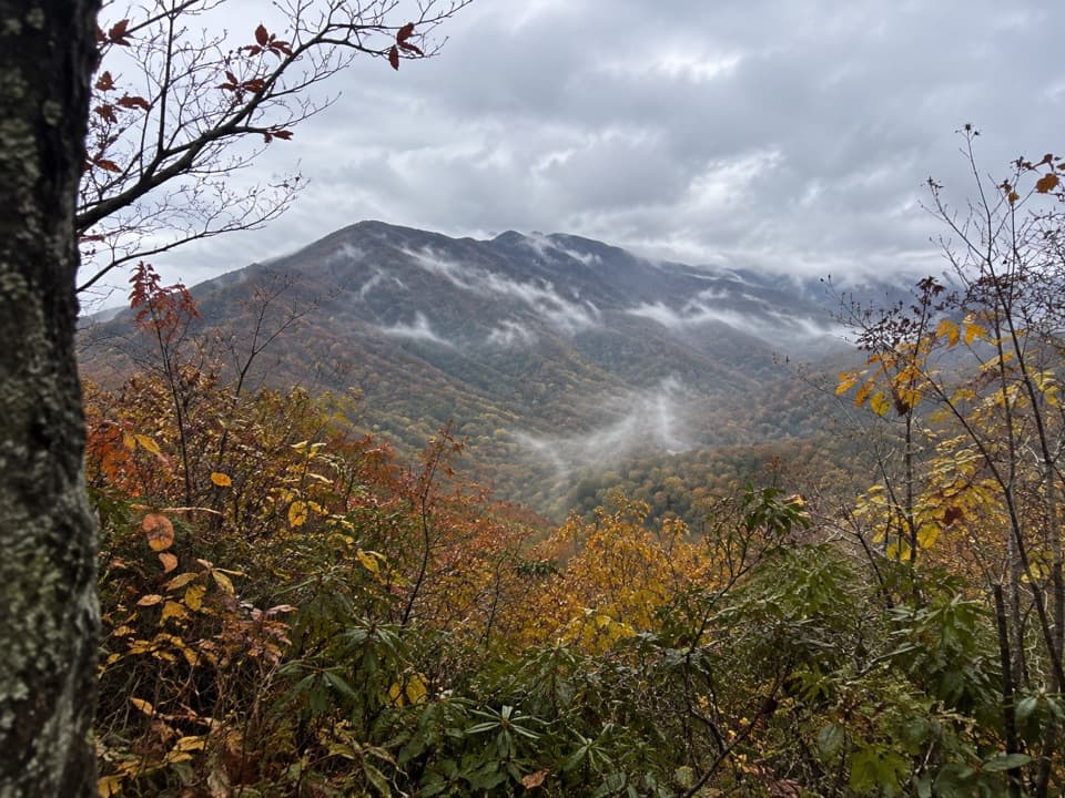 ChallengingSugarland Mountain Trail11.9 mi · 8 hr · At the trailheadA long ridge walk with a winter view toward Gatlinburg.
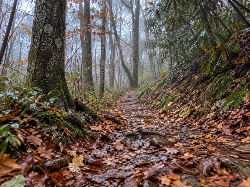 EasyLaurel Falls Quiet Walkway0.4 mi · 18 min · 0.7 mi awayA short dirt loop follows Laurel Branch through quiet forest
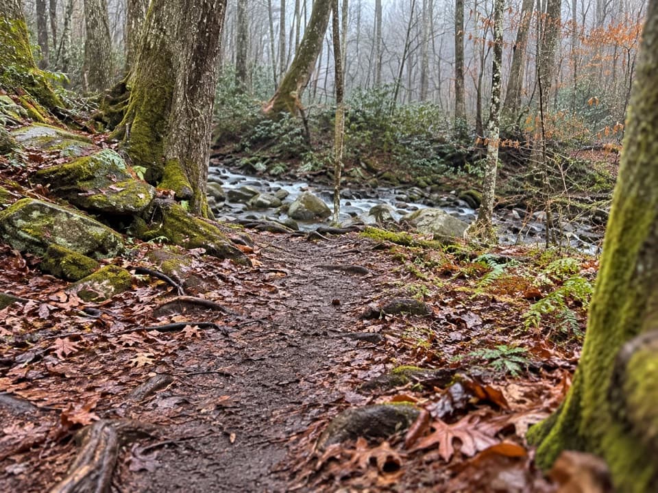 EasyElkmont Nature Trail0.7 mi · 30 min · 1 mi awayA short, easy loop with two bridges over Mids Branch.
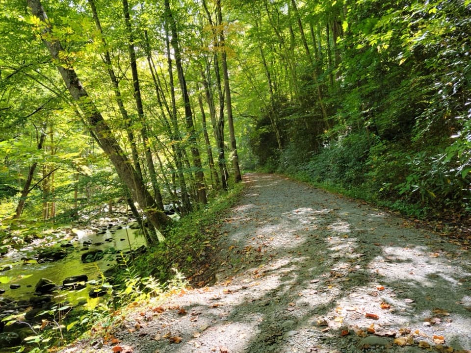 ModerateLittle River Trail12.4 mi · 7 hr · 1.3 mi awayFollow the old rail grade beside the river to Campsite 30.
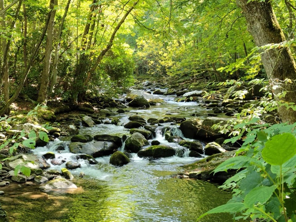 ModerateLittle River, Cucumber Gap, Jakes Creek Loop5.5 mi · 3 hr · 1.3 mi awayRiver views, wildflowers, and Elkmont history on a varied loop.
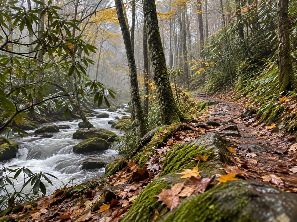 ChallengingGoshen Prong Trail11.2 mi · 9 hr · 1.3 mi awayOld logging grades lead from creekside Elkmont to a rocky AT finish.
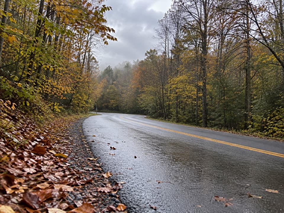 EasyHickory Flats Quiet Walkway0.8 mi · 36 min · 1.3 mi awayA cemetery loop and an old roadbed toward Hickory Flats Branch.
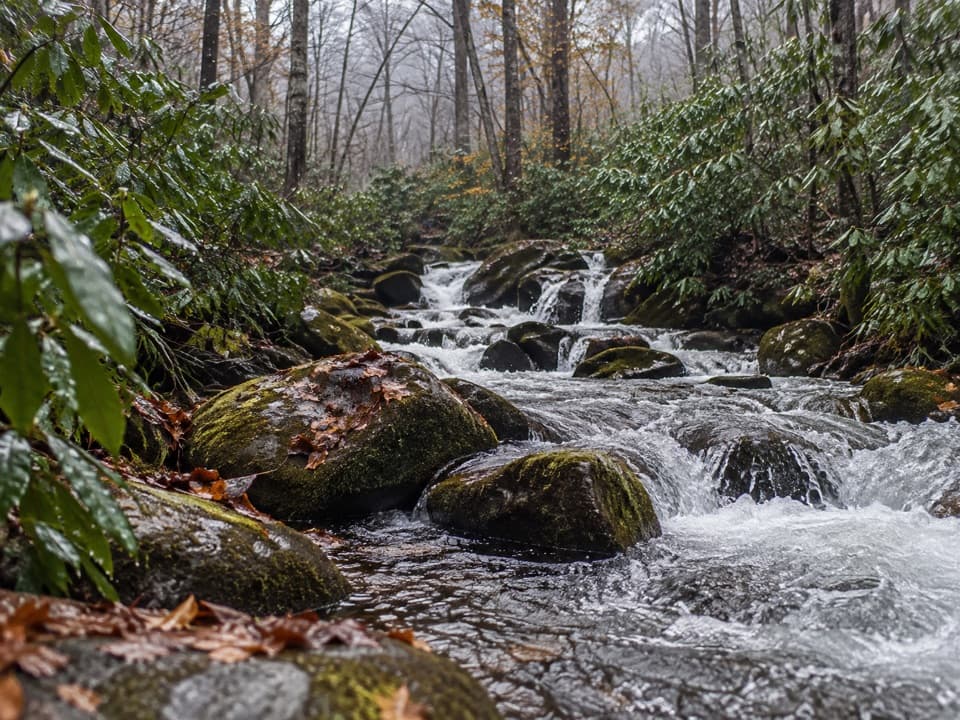 ChallengingJakes Creek Trail7.2 mi · 6 hr · 1.4 mi awayA long climb from Elkmont’s old cottages to Jakes Gap.
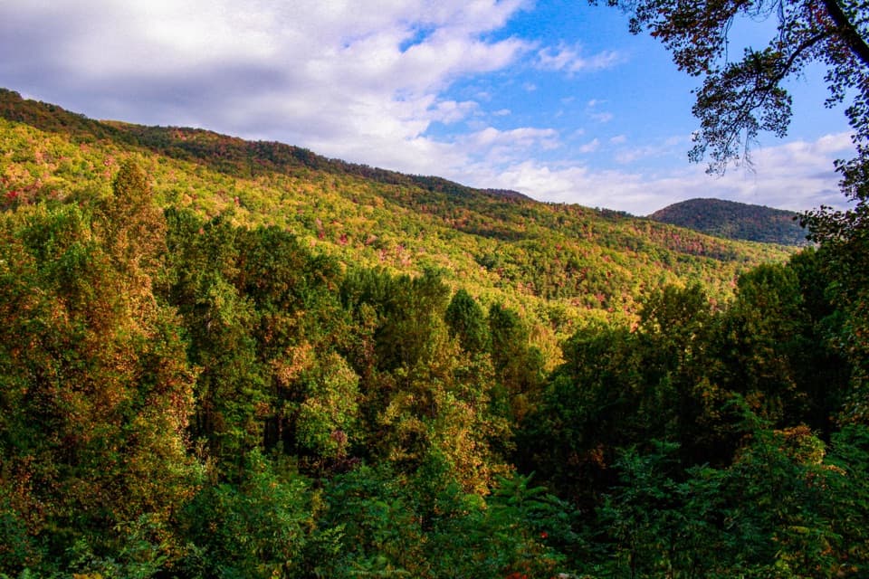 Scenic pullout · 0.4 mi awayMaloney PointA quick Little River Road stop for layered ridges and spring trillium.
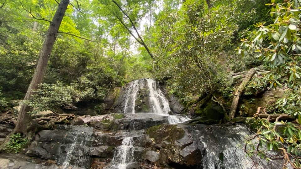 Sight · 0.8 mi awayLaurel FallsA two-tier waterfall rewards a popular 2.6-mile forest walk.
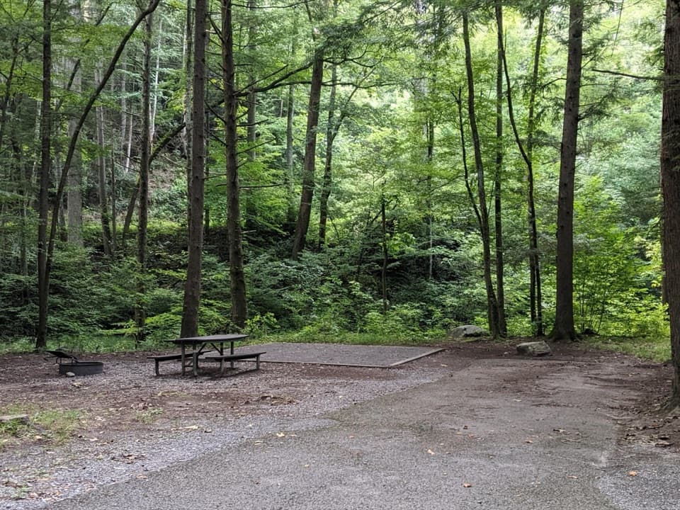 Campground · 1 mi awayElkmont CampgroundWooded camping, creekside sites, and a road on an old rail bed
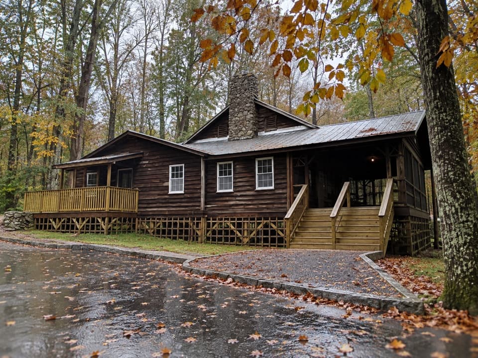
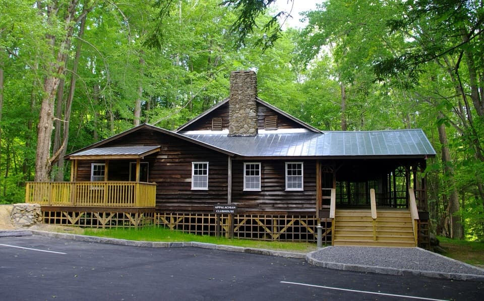 Sight · 1.2 mi awayAppalachian ClubhouseA restored clubhouse from Elkmont’s cabin-era summer community.
 Sight · 1.2 mi awayDaisy TownA preserved summer settlement, with cabins you can explore inside.
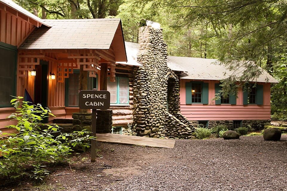 Sight · 1.3 mi awaySpence CabinA restored 1928 cabin from Elkmont’s resort summers.
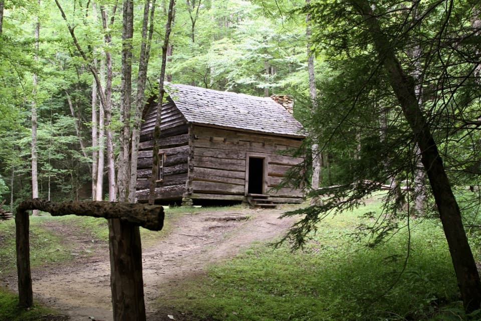 Sight · 2.2 mi awayJohn Ownby CabinA short wooded walk to Sugarlands' last standing home.
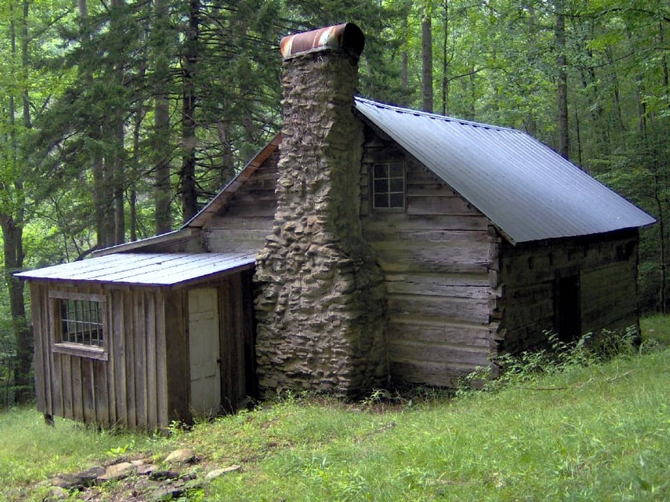 Sight · 2.4 mi awayAvent CabinFind a tucked-away cabin that once served as an artist’s studio.
Parkwolf’s Great Smoky Mountains ranking
The audio tour guide for the drive, plus offline maps, trails, and wildlife heatmaps for when the signal drops.





