Pros & cons
PROS
- Big 360-degree views over the Smokies and Tennessee Valley
- Quick, paved walk to a high, less-crowded overlook
CONS
- No restrooms at the tower parking; nearest are at Look Rock Picnic Area
- Steep grades and occasional motorcycle noise from the Parkway
Overview
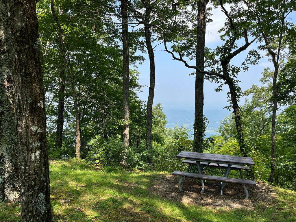
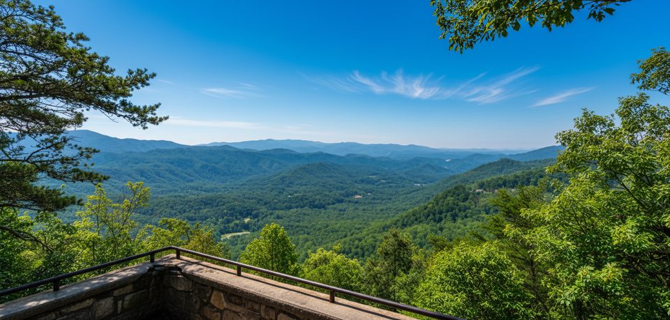
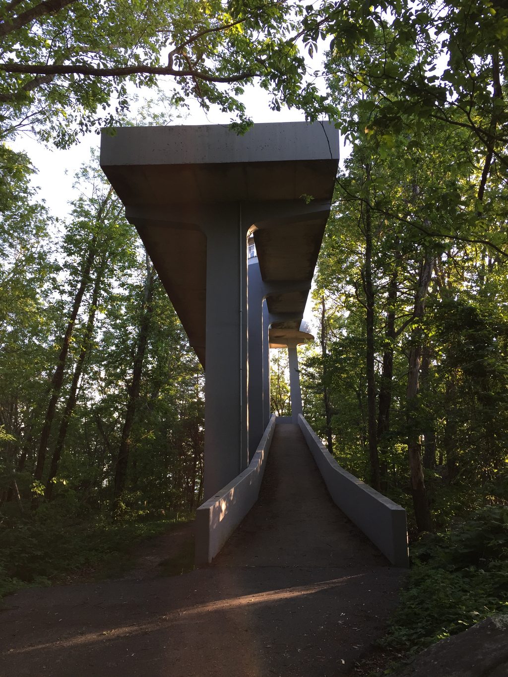
Perched at 2,652 feet—the high point of the Foothills Parkway—Look Rock Observation Tower dishes out sweeping, 360-degree panoramas of the Smokies’ skyline to the east and the Tennessee Valley and Cumberland Plateau to the west. It’s a classic wide-angle vantage that’s typically quieter than the park’s marquee overlooks, and sunsets here are especially good.
The Walk
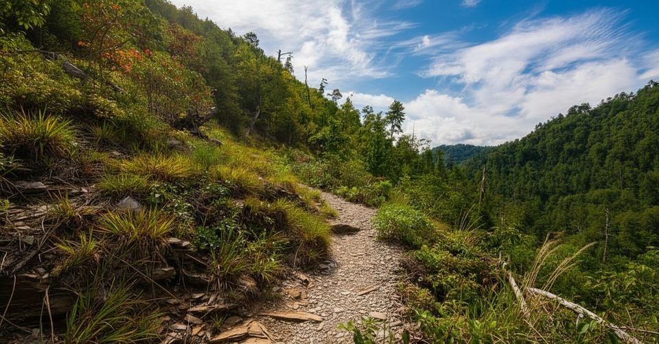
From the roadside pullout, cross the marked crosswalk to a short, fully paved path—roughly 0.6–1.0 miles round-trip—with about 50–200 feet of gain. It’s brief but not flat; expect a few steeper sections. Plan on 30–60 minutes total, including time to soak in the view. Near the top you’ll pass a Park Service air-quality monitoring station before reaching the ramped tower. The small equipment room at the very top is closed, but the observation platform is open and delivers the money views. Railings are low—keep a close eye on kids.
What You’ll See
On clear days, expect far-reaching vistas (40–50+ miles) that frame Clingmans Dome, Mount LeConte, Gregory Bald, Thunderhead Mountain, and the serrated Smokies skyline, with the Tennessee River Valley spreading westward. It’s the perfect “zoomed-out” read of the range.
Logistics
- No facilities at the tower parking area—bring water and plan bathroom stops at the Look Rock Picnic Area nearby.
- A parking tag is required anywhere you park in the park; display it in your vehicle.
- Pets are not allowed on this trail (they’re fine in picnic areas, campgrounds, and along roads).
- The Foothills Parkway is generally open year-round but can see brief winter closures; weather on the platform can be windy—pack a layer.
Best Time to Visit
Year-round access makes this an easy add to any itinerary. For photography and lighter foot traffic, aim for sunrise or sunset. Autumn serves peak color, and spring brings fresh greens and blooms at these elevations. Weekends see more midday visitors; early and late hours are your friend.
Nearby
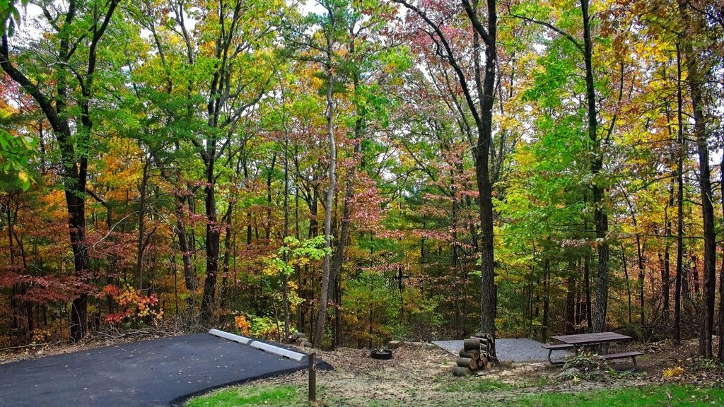
The Look Rock Picnic Area (with restrooms) and seasonal Look Rock Campground sit close by, and there are additional access points to the tower from those areas if you’d prefer a longer approach.
Where it is
35.6325, -83.9431Tips for Look Rock Observation Tower
- 01Park at the signed Look Rock pullout and use the crosswalk to the paved trail.
- 02Bring water and snacks; there are no services at the trailhead.
- 03Aim for sunrise or sunset for the best light and fewer people.
- 04Have your Great Smokies parking tag displayed before you leave the car.
- 05It can be breezy on the platform; pack a light layer and supervise kids near the low railings.
Amenities
Near Look Rock Observation Tower
All places →All trails →
0.2 mi awayLook Rock OverlookShort paved walk to sweeping 360-degree Smokies viewsTrailhead · Parking
0.2 mi awayLook Rock Picnic AreaShaded Foothills Parkway picnic spot with grills and tower nearbyPicnic Table · Restroom
0.5 mi awayLook Rock Ranger StationRanger outpost serving the Look Rock tower and campgroundRanger Station
0.7 mi awayLook Rock CampgroundWooded campground with some electric sites near Look Rock TowerCampground · Restroom
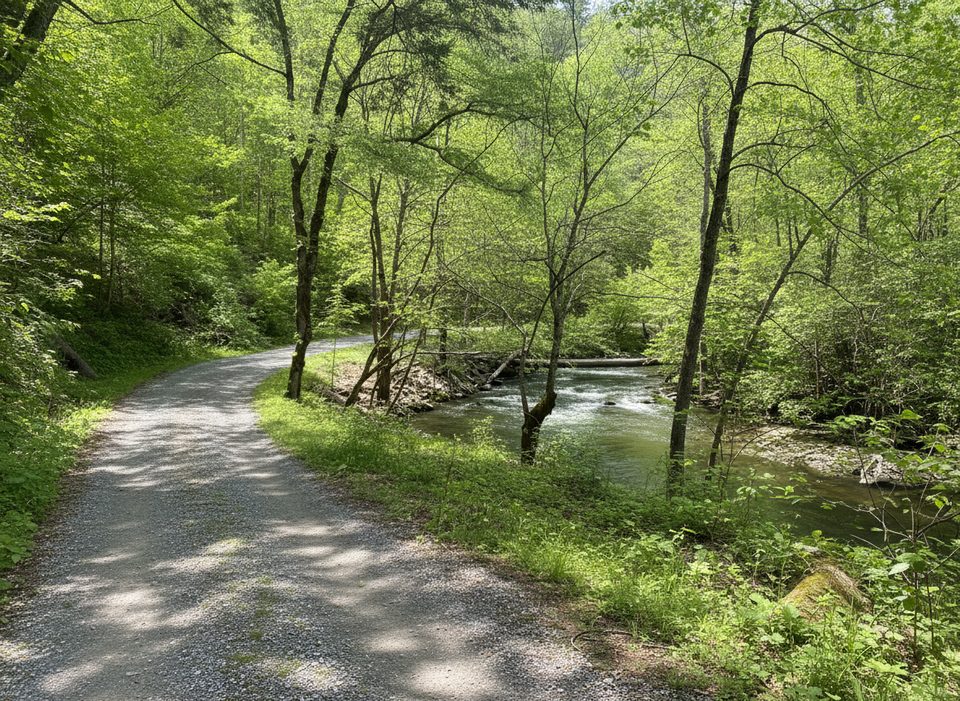
1.6 mi awayLittle Bottoms TrailCreekside connector with solitude, roots, and splashy stream hopsModerate · 2.3 mi · 1.5 hr
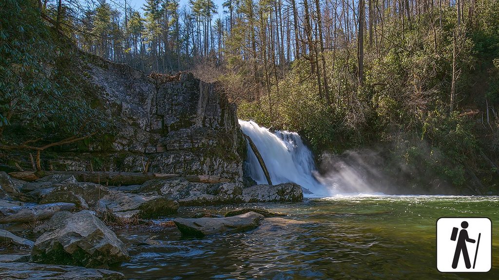
5.8 mi awayAbrams Falls TrailRolling creekside hike to the park’s most voluminous waterfallModerate · 5 mi · 3 hr
6.1 mi awayCooper Road TrailLong, quiet old road between Cades Cove and Abrams CreekModerate · 10.9 mi · 6 hr
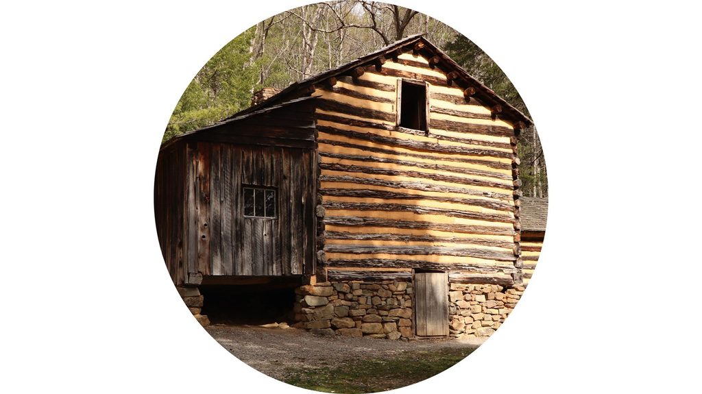
6.1 mi awayElijah Oliver Cabin Access TrailEasy stroll to a historic dogtrot homestead in quiet Cades CoveEasy · 1.1 mi · 36 min