Parking
Use the lot at the far end of Cades Cove Loop Road, on Abrams Falls Road between loop-road posts 10 and 11. A parking tag is required for stays longer than 15 minutes; a year-round pit toilet is at the trailhead.
#11 of 197 trails in Great Smoky Mountains
Great Smoky Mountains National Park, TN · NC
Five forest miles to a 25-foot waterfall over sandstone.
Overview
Map & elevation
Plan your hike

The highest, rockiest slopes around here are a summer buffet for grizzly bears.
Great Smoky Mountains Tour Guide
Parkwolf is a GPS audio tour guide for Great Smoky Mountains National Park. As you drive, it chimes in with what’s ahead: hidden gems, upcoming stops, history, geology, and wildlife, right through your car’s speakers.
See the Great Smoky Mountains audio tourRecorded for this trailhead
Abrams Falls Trailhead“You're nearing the Abrams Falls trailhead, where a five-mile round-trip hike leads to a broad cascade spilling over sandstone.”
Plays as you drive up to this trailhead in the Parkwolf Great Smoky Mountains Tour Guide.
More stories near here in the app
“Fantastic app with many points of information… It’s great to just turn on while you’re driving and it gives you an audio tour of the national Park. We love it!!!!”


Trail guide
Abrams Falls Trail is a moderate 5-mile out-and-back from the Abrams Falls Trailhead to the waterfall and back. Plan on about three hours on foot. The trail gains and loses ground as it winds around ridges and drops toward Abrams Creek; roughly 675 feet of total climbing is spread across the walk, so the return still has uphill stretches. Expect roots, rocks and footbridges rather than a smooth path. I'd choose this when the forest miles are part of the appeal. It is a substantial outing if all you want is a quick waterfall stop.
The parking area is at the far end of Cades Cove Loop Road, on Abrams Falls Road between loop-road posts 10 and 11. The road is one-way, and the park recommends allowing up to three or four hours to drive the full circuit; budget that separately from the hike. A parking tag is required for a stay longer than 15 minutes, and a year-round pit toilet is at the trailhead.
Cross the first footbridge and turn left for Abrams Falls. The right fork leads toward Oliver Place, a separate side trip. About halfway in, follow the short spur over another footbridge to the broad rocky area by the falls, then return the way you came.
The route roughly follows Abrams Creek, but it does not stay right beside the water. It winds over low ridges and dips back toward the creek. Pine-oak forest covers the higher ground; hemlock and rhododendron crowd the creek banks and hide the water for long stretches. This is more of a shaded woodland walk with occasional creek glimpses than a waterside path. Roots and rocks are the main footing obstacles, and the repeated rises can make the walk back feel harder than the distance suggests.
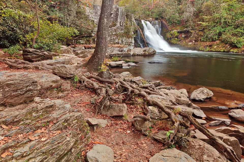
Abrams Creek pours over a sandstone ledge into a deep pool. The drop is 25 feet, and the park describes the flow as considerable. From the broad rocky viewing area, include both the ledge and pool in a photo; the sandstone shelf gives the falls a clear frame. Stay out of the pool: slippery rocks and a strong undertow make swimming dangerous.
Spring is the season for wildflowers along the trail. The creek supports three of the park's rare, threatened or endangered fish species, though dense bank growth screens much of the water from the path. River otters were reintroduced to the area and are occasionally seen near the falls. Treat an otter sighting as a lucky bonus, not something to plan around.
An EF-4 tornado crossed the northwestern corner of the park in 2011. Abrams Falls Trail was one of seven trails temporarily closed after the storm brought down trees and damaged the tread; park workers counted more than 4,500 downed trees across the closed trail sections. That event is part of the area's history, while the route itself remains the same waterfall out-and-back.
Wildlife
 1,569 sightingsBlack BearMost seen around 7 PMSighting map
 900 sightingsElkMost seen around 7 AMSighting map
 13 sightingsBald EagleMost seen around 9 AMSighting map
 142 sightingsTimber RattlesnakeMost seen around 6 PMSighting map
 26 sightingsBobcatMost seen around 8 PMSighting map
 42 sightingsRiver OtterMost seen around 7 AMSighting map
Sighting maps show where each species has been reported across Great Smoky Mountains. Wildlife moves, so no sighting is guaranteed.
Keep exploring
ChallengingAbrams Falls, Hannah Mountain and Rabbit Creek Loop11.1 mi · 8 hr · At the trailheadA demanding 11-mile loop pairs Abrams Falls with three creek fords.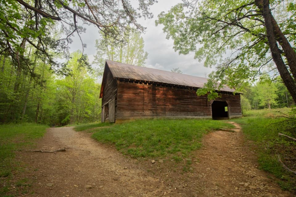 EasyElijah Oliver Place Trail1 mi · 45 min · 0.7 mi awayA short walk to the Oliver farmstead’s cabin and outbuildings.
 ChallengingGregory Ridge Trail11.4 mi · 7 hr · 2 mi awayA steady climb to a grassy bald with wide mountain views.
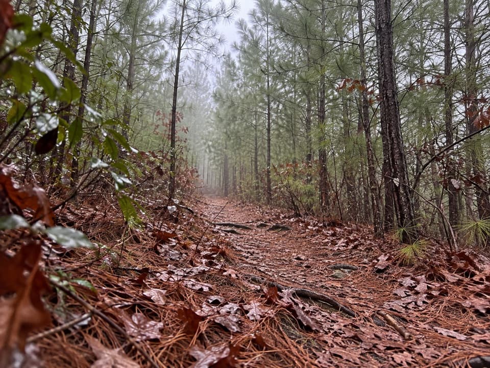 ModerateHatcher Mountain Trail2.8 mi · 1.8 hr · 2.9 mi awayA pine-lined connector with May blooms and winter ridge glimpses.
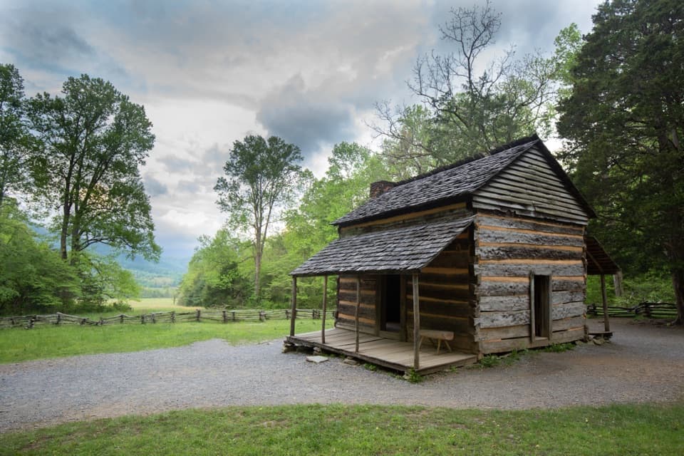 EasyJohn Oliver Cabin Trail0.4 mi · 30 min · 3.4 mi awayA short paved walk to a preserved cabin and its homesite.ChallengingGregory Bald Trail9 mi · 5.5 hr · 4.1 mi awayFlame azaleas, a grassy summit and open views reward a long climb.
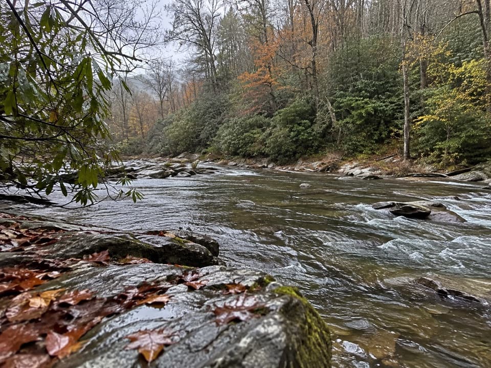 ModerateHannah Mountain Trail9.4 mi · 5 hr · 4.1 mi awayA long backcountry traverse ends at an unbridged creek ford.
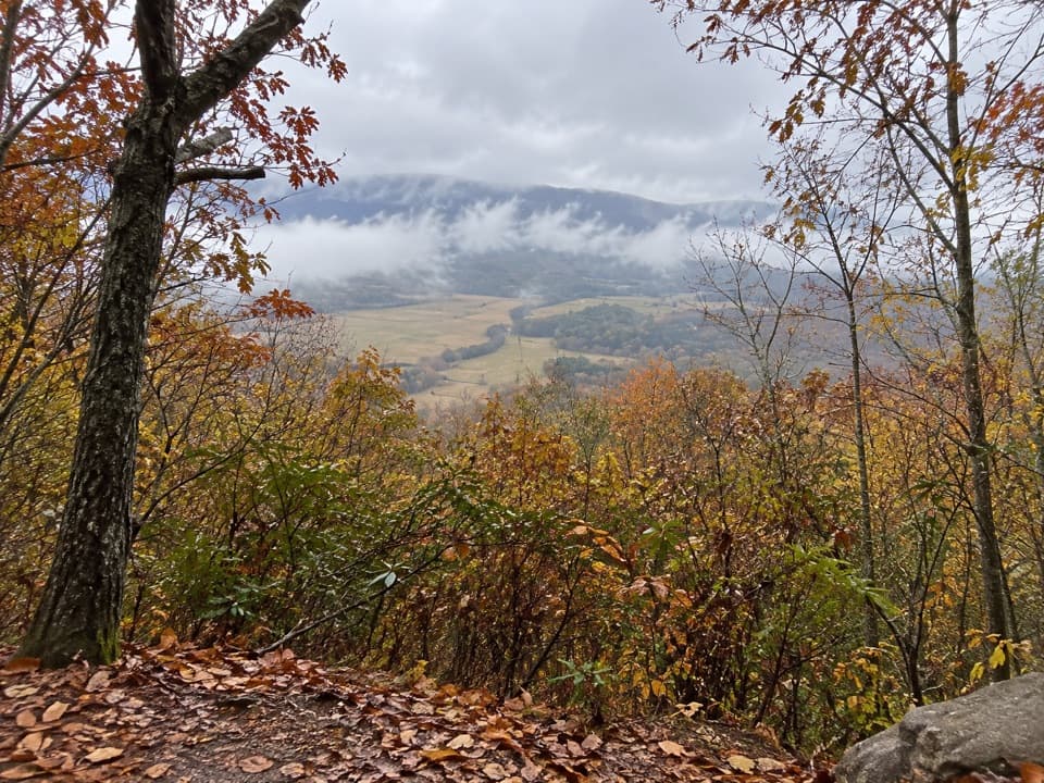 ChallengingCrooked Arm Ridge Trail4.3 mi · 3.5 hr · 4.1 mi awaySteep forest gives way to a late view into Cades Cove
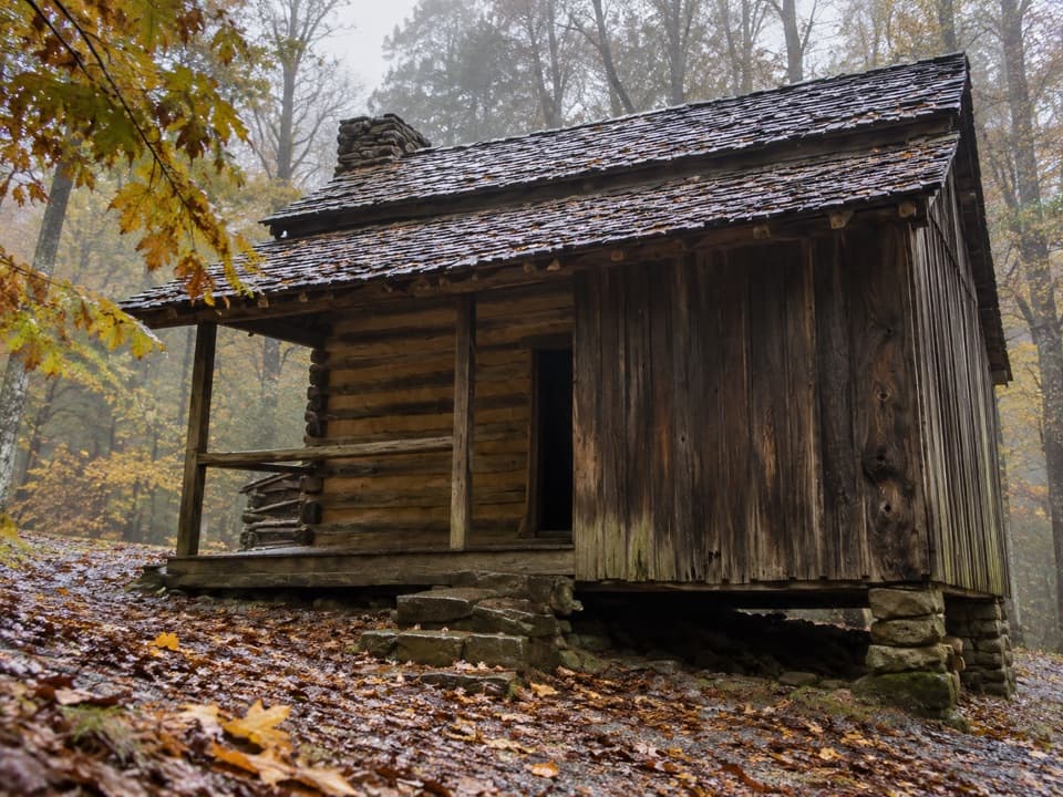 Sight · 0.4 mi awayElijah Oliver PlaceA short walk to a farmstead with Cades Cove’s only surviving springhouse.
 Sight · 0.6 mi awayCable Mill Historic AreaSee an 1870s mill where water powered a working cove.
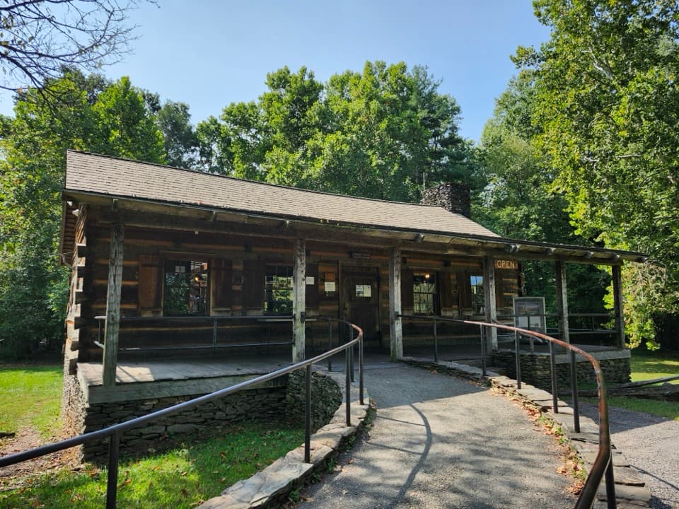 Visitor center · 0.7 mi awayCades Cove Visitor CenterA handy loop break with a water-powered mill right beside it.
 Sight · 1.2 mi awayHenry Whitehead PlaceSpot the “granny hole” in Cades Cove’s older cabin.
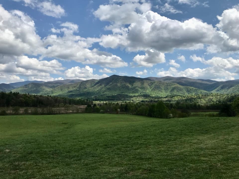 Scenic pullout · 1.5 mi awayCades Cove OverlookOpen fields and a mountain rim make this a rewarding loop stop.
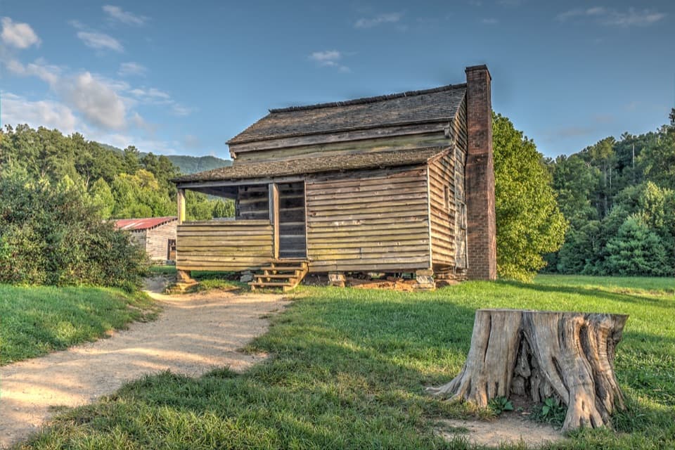 Sight · 1.8 mi awayDan Lawson PlaceAn 1856 log home that grew into a post office and store.
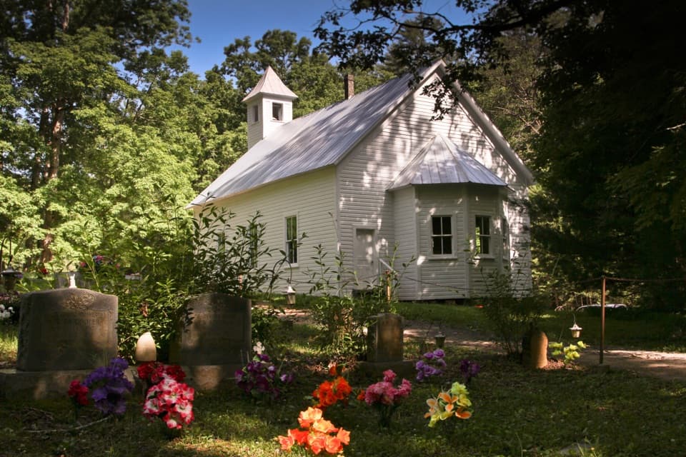 Sight · 1.9 mi awayCades Cove Missionary Baptist ChurchA quiet church stop with a story dating to 1839.Sight · 2 mi awayAbrams FallsA 25-foot cascade makes the long Cades Cove hike pay off.
Parkwolf’s Great Smoky Mountains ranking

The audio tour guide for the drive, plus offline maps, trails, and wildlife heatmaps for when the signal drops.




