
Place · 0 mi away
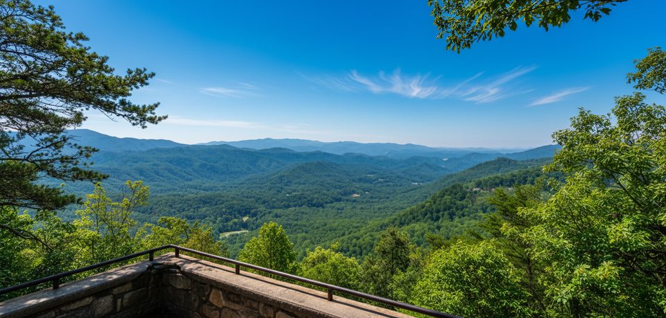
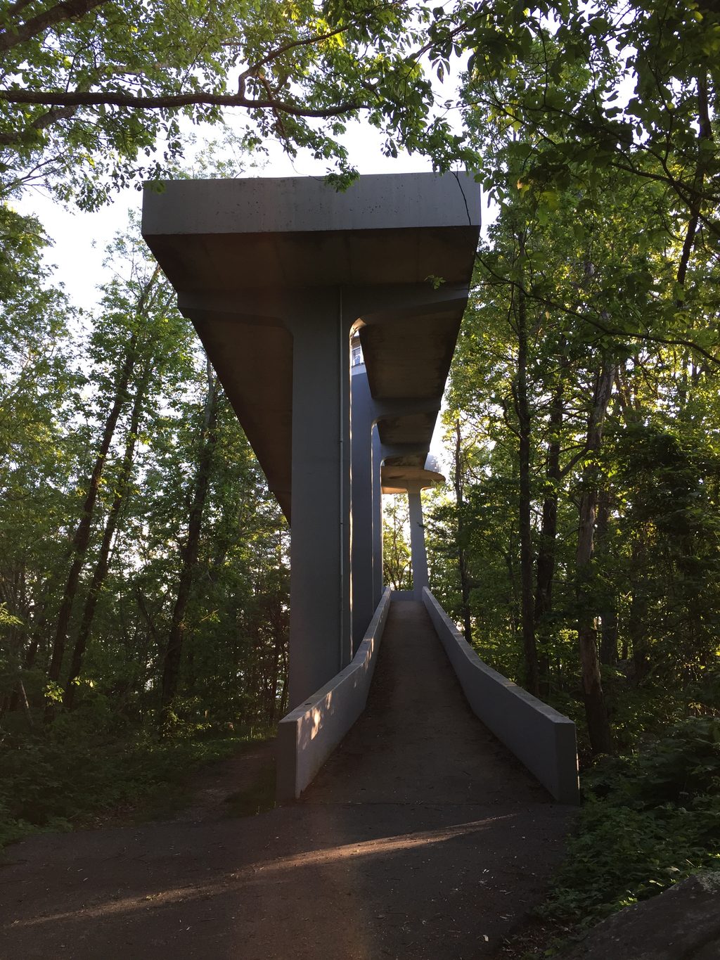
Look Rock is the Foothills Parkway’s big-view prize: a short, paved walk leads to a concrete observation tower with sweeping vistas of the Smokies, the Tennessee Valley, and—on clear days—the distant Cumberland Plateau. It’s typically quieter than park hotspots, so you get room to breathe with your scenery.
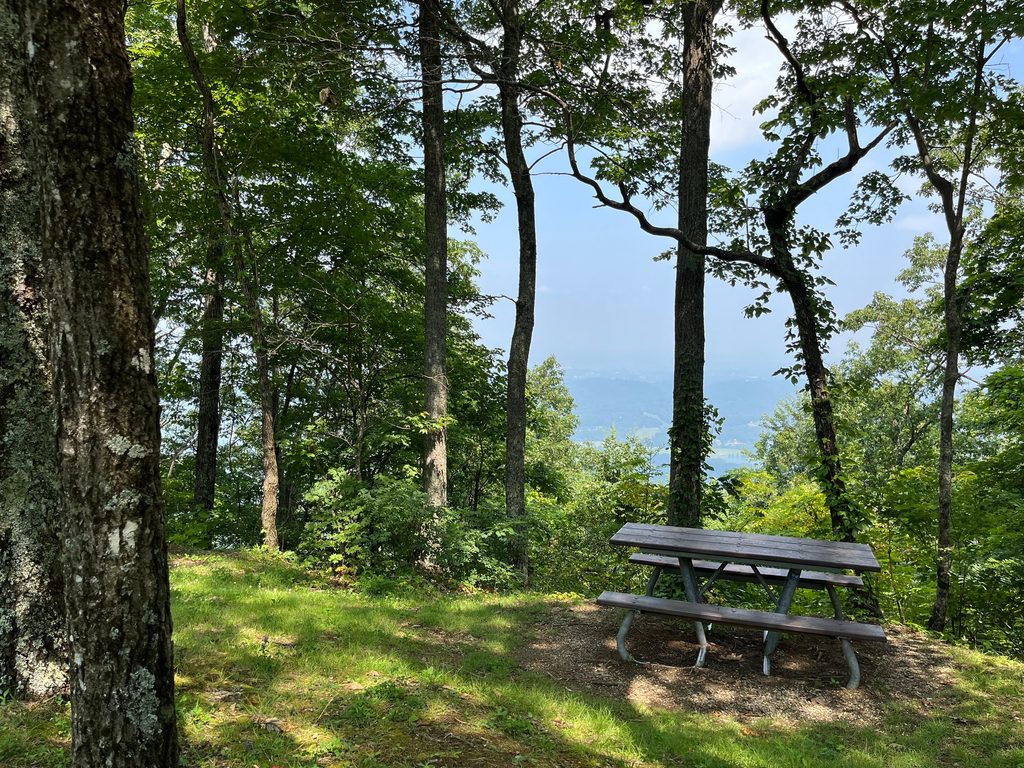
There’s also a natural rock ledge viewpoint right near the parking area for a quick look, but the tower is where you’ll get full 360-degree payoff.
From the platform, long-range views can reach 40–50 miles on clear days. Expect sightlines to Smokies favorites like Clingmans Dome and Mount LeConte, plus the layered ridges running toward Gregory Bald and Thunderhead Mountain. Sunsets are lovely here, and fall color puts on a show across the valleys.
Park at the pull-off between mile markers 14 and 15 and use the signed crosswalk to reach the trailhead. There are no restrooms along the Parkway at the overlook; the nearest facilities are at the nearby Look Rock Picnic Area and at the campground (primarily for registered campers). A valid park parking tag is required if you’ll be parked more than 15 minutes. If you’re towing, avoid narrow, winding approaches like Montavale Rd, Happy Valley Rd, and Flats Rd.
Look Rock also hosts an air-quality monitoring site—fitting for a place built around big horizons.
Year-round access is typical, though the Foothills Parkway can close during winter weather. For light and color, think sunrise and sunset; for crowds, weekdays are your friend. Saturdays around midday tend to be the busiest. Fall foliage season is prime.
This is bear country; store food and scented items properly and pack out trash. In spring, the area lights up with blooms such as rhododendron, mountain laurel, and flame azalea along the drive and nearby paths.
The upper “room” of the tower holds instruments and isn’t open to the public—the observation platform just below is where you’ll stand. It can be breezy and cooler up there, so bring a layer. Some visitors note occasional motorcycle noise along the Parkway; aim for early or late hours if you want more quiet.
Place · 0 mi away
Place · 0.2 mi away
Place · 0.5 mi away
Place · 0.7 mi away
Moderate · 1.4 mi away
Moderate · 5.7 mi away
Moderate · 5.9 mi away
Easy · 5.9 mi away

Parkwolf Tour Guide
