Moderate

Cooper Road Trail

Long, quiet old road between Cades Cove and Abrams Creek
Cooper Road Trail, Great Smoky Mountains National Park
Distance10.9 mi
Typical time6 hr
DifficultyModerate
PetsNot allowed

Overview

Cooper Road is a historic corridor turned hiking trail that links Cades Cove to Abrams Creek. It runs about 10.9 miles one way and was once an Indigenous path and later a settlers’ supply road into the cove. Expect a gentle, steady outing rather than a summit-and-views hike. The grade is easy by Smokies standards—roughly 1,100 feet of total climb spread out over the length—so the challenge comes from the mileage. Do it as a full 21–22 mile out-and-back, or use it to build creative loops.

Trail character and scenery

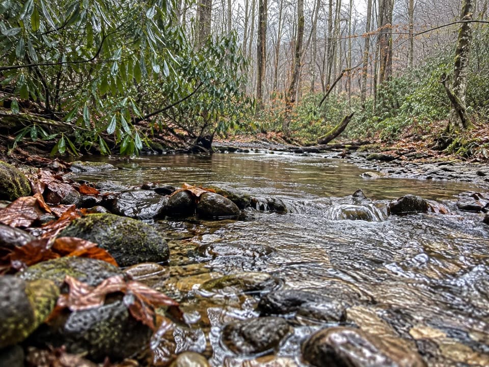
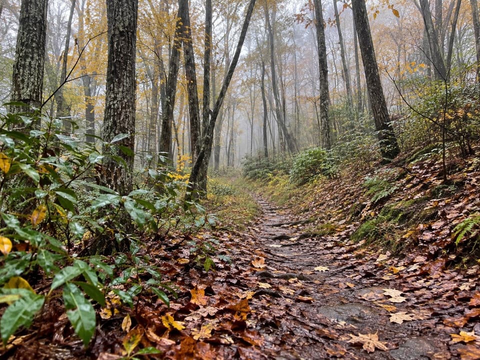
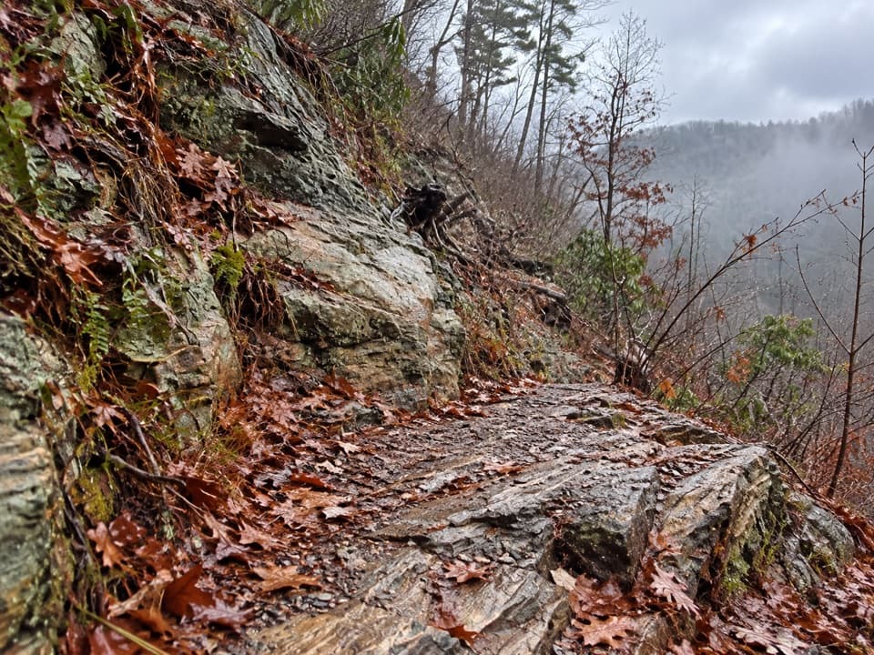
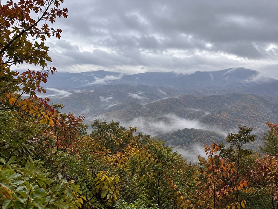
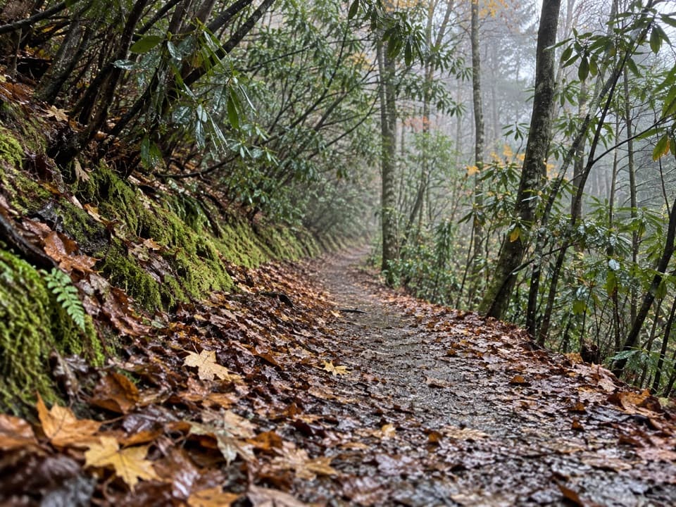
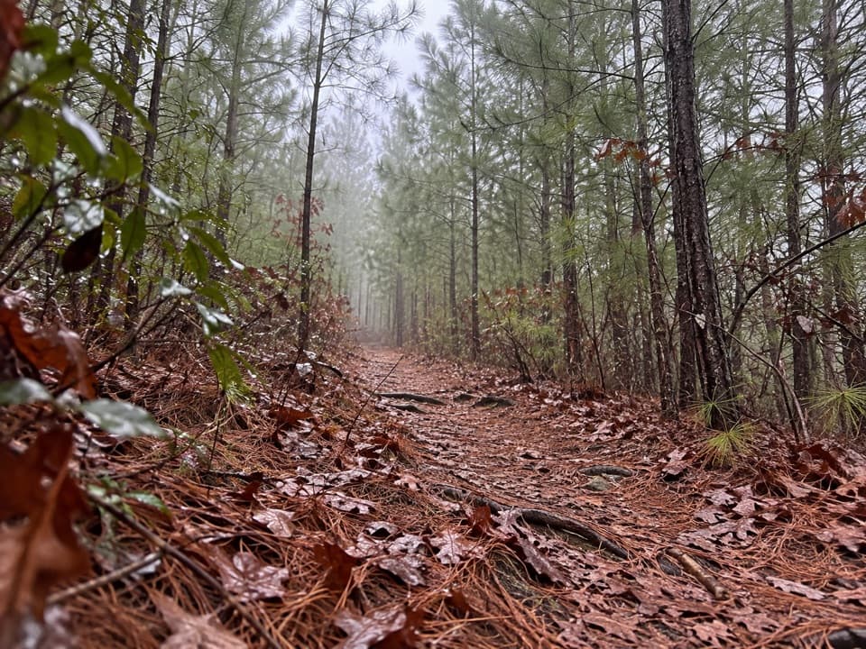
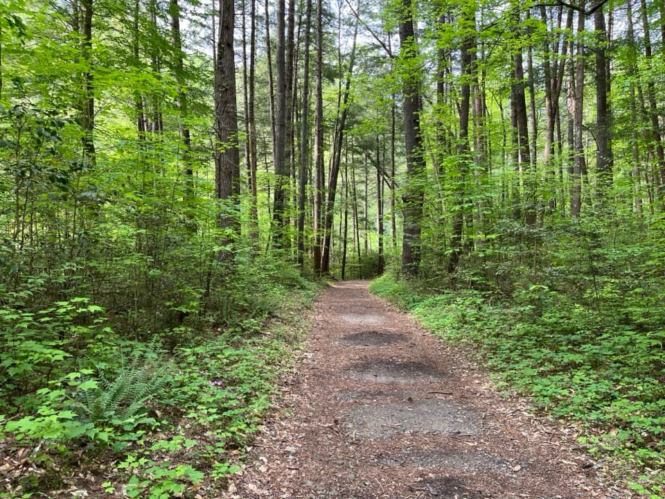
Much of the tread is a wide, well‑graded old roadbed—comfortable underfoot, occasionally double‑track, with short, spread‑out inclines. You’ll spend long stretches in mixed hardwoods—maple, oak, and pine—with creekside sections that pop with spring wildflowers. It’s not a big‑view hike; the reward is quiet forest, history, and easy cruising. After storms, expect some blowdowns and muddy patches, and in wet periods you’ll encounter several shallow crossings that can get your feet wet.

Access and parking

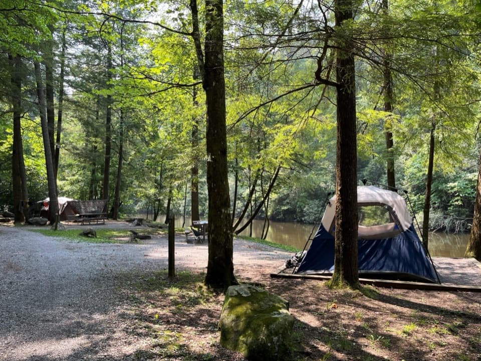
On the Cades Cove side, the trailhead sits about a mile past Missionary Baptist Church on the Loop Road; there’s a pullout across from the sign. A park parking tag is required when you leave a vehicle in the area. On the Abrams Creek side, access is from the campground; when the campground is closed in winter, use the designated hiker parking by the ranger station and add a short road walk to the trailhead.

Route options

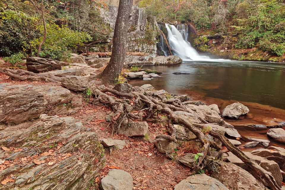
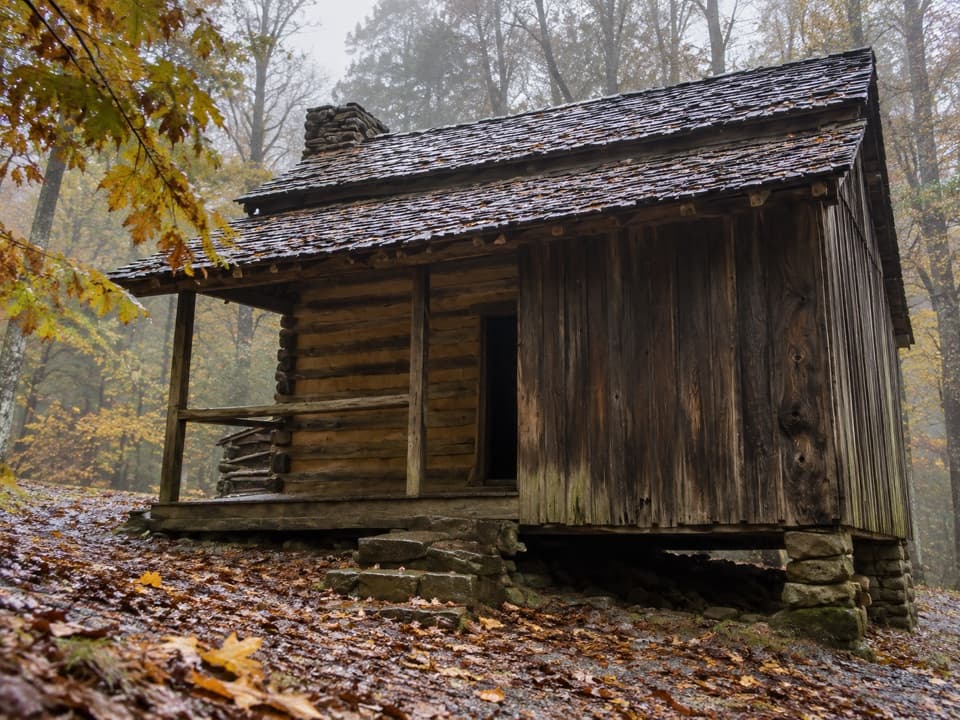
Cooper Road is a connector dream. From the Cades Cove side you can add a short detour on Wet Bottom to visit the 1866 Elijah Oliver Cabin. Farther out, junctions with Beard Cane, Hatcher Mountain (which links to Hannah Mountain and Abrams Falls), Cane Creek, Gold Mine, and Little Bottoms open up multiple loop options. Two popular full‑day circuits: a roughly 13+ mile loop via Abrams Falls and Hatcher Mountain from Cades Cove, or about 10.5–11 miles via Hatcher Mountain and Little Bottoms from the Abrams Creek side. Note that Beard Cane can be overgrown and boggy in season and has a crossing that’s unsafe in high water—plan accordingly.

Best time to hike

Spring through fall is prime. Hit it in April–May for wildflowers and softer creek flows, or October for fall color filtering through the hardwood canopy. In summer, start early to beat heat and afternoon storms. Cades Cove operating hours matter: the loop area is open 8 a.m. to sunset, so time your start and turnaround to avoid getting squeezed by gate hours.

Know before you go

  • Dogs are not allowed on this trail in the park.
  • Plan on 5–7 hours for a full one‑way traverse depending on pace and conditions; popular out‑and‑back samplers from Cades Cove still rack up double‑digit miles.
  • Expect several water crossings that are usually rock‑hops at normal flows but can swell after rain—trekking poles help. Carry enough water and snacks; a filter is smart if you’ll refill. Cell service is limited.

If you want more payoff per mile, consider building in Abrams Falls via Hatcher Mountain for a big‑day loop; if you want solitude and easy grades, stick to Cooper Road’s steady, underrated forest walk.

Pros

  • Quiet, low‑traffic corridor even when Cades Cove is busy
  • Endless loop and connector options to tailor distance and objectives
  • Historic route with a worthwhile side trip to the Elijah Oliver Cabin

Cons

  • Long mileage with limited viewpoints can feel monotonous
  • Multiple creek crossings become tricky after heavy rain
  • Cades Cove gate hours constrain start and finish times

Parking

Cades Cove side: about 1 mile past Missionary Baptist Church on the Loop Road; pullout across from the trail sign. Abrams Creek side: from the campground; in winter, park by the ranger station and road‑walk ~0.4 mi. A park parking tag is required when you leave a vehicle.

Caution

Several creek crossings and occasional blowdowns; sections can be muddy after rain. Beard Cane connector can be overgrown and hazardous in high water. Limited daylight due to Cades Cove hours—carry a light and time your turnaround.

The Parkwolf tour guide sitting on a phone mounted in a car

Parkwolf Tour Guide

Like a tour guide in your car.

Bring Great Smoky Mountains trail research into the car, with offline maps and stories that play as you drive.Download Parkwolf on the App Store