Moderate

Little Bottoms Trail

Creekside connector with solitude, roots, and splashy stream hops
Little Bottoms Trail, Great Smoky Mountains National Park
Distance2.3 mi
Typical time1.5 hr
DifficultyModerate
PetsNot allowed

Overview

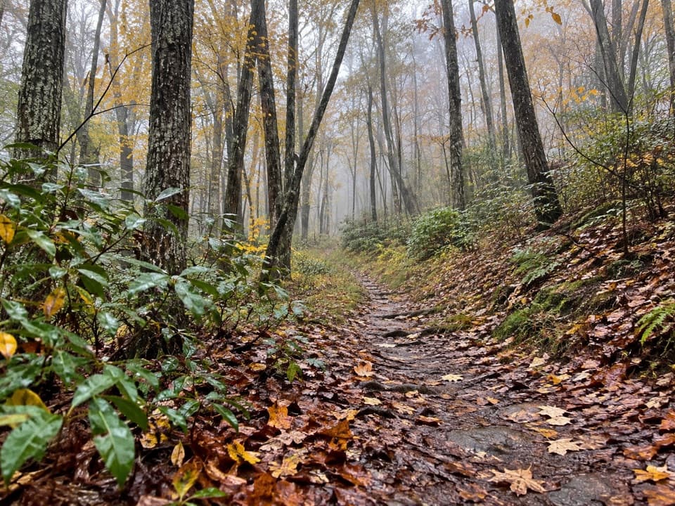
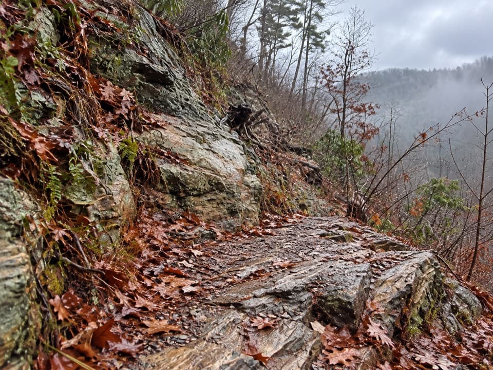
Little Bottoms is a short, ungraded connector tracing Abrams Creek near the Abrams Creek Campground. It’s about 2.3 miles one way and feels like a narrow, rooty roller coaster—constant little ups and downs, occasional sketchy footing, and multiple small stream crossings. If you like quieter corridors with creek views and don’t mind getting your feet wet, this is your kind of path.

How people hike it

You can walk just the 2.3-mile segment as part of a larger outing, or build a day around it:

  • Classic loop (about 10.6 miles): Cooper Road Trail → Little Bottoms → Hatcher Mountain Trail, returning to Abrams Creek.
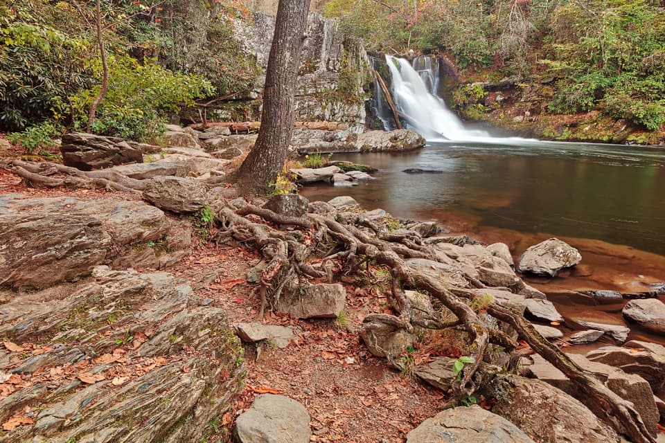
  • Point‑to‑point (about 8.6 miles): Start at Abrams Falls Trailhead in Cades Cove, visit Abrams Falls, continue to the Hatcher Mountain/Little Bottoms junction, descend Little Bottoms, then finish via Cooper Road to Abrams Creek Campground.
  • Out‑and‑back via Little Bottoms to Abrams Falls (about 10 miles total): Moderately challenging with notable ups/downs and stream hops.

Trail character and scenery

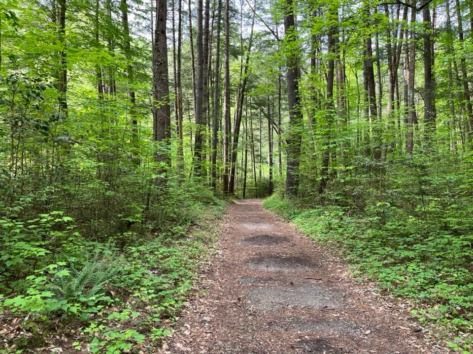
Expect a narrower tread than the popular falls approach, plus uneven surfaces and a few crossings that are rock‑hoppable in normal flow but can run knee‑deep after rain or snowmelt. The route threads old farmland and hemlock/white pine, hugs Abrams Creek for big stretches, and stays blissfully uncrowded compared to the falls segment. Keep an eye out for delicate wildflowers and creekside plants—Alumroot in rock crevices and Southern Harebell’s blue bells are noted here. Farther along, you may notice lingering disturbance from a 2011 EF4 tornado near the trail’s end.

Logistics and parking

From the Abrams Creek side, reach Little Bottoms by hiking roughly 1.3 miles on Cooper Road Trail from the ranger station/campground area. The park requires a parking tag, and hikers report there’s no kiosk at Abrams Creek—arrange your tag ahead of time. In winter when the campground is closed, expect nearly an extra mile of walking to reach parking. If you’re doing the point‑to‑point, the Cades Cove end has a large paid lot and restrooms at the Abrams Falls trailhead. Cooper Road’s old roadbed can feel like walking on cobblestones—fine, just a little clunky underfoot.

Best time to hike

Spring through late fall is prime. Water levels are friendlier for the crossings, and vegetation is at its best. If you’re linking from Cades Cove, go early to beat the crowds to Abrams Falls; beyond the falls it quiets down. After heavy rain or snowmelt, be ready for deeper crossings and slick footing. Winter is feasible but comes with the campground closure and that extra approach time.

Tips

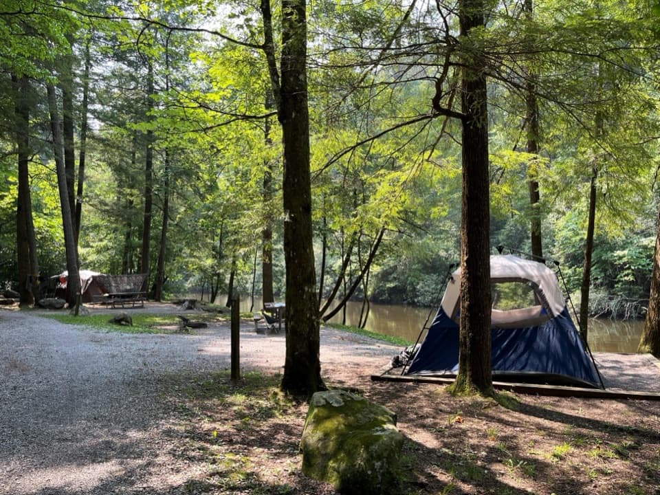
Trekking poles help on the uneven tread and in the crossings; long pants are smart for brushy sections. Some hikers carry sandals or water shoes and a small towel for the splashier days. Backcountry Campsite #17 sits along the lower portion near the creek with a beach‑like area—great for a break or an overnight if you’ve got a backcountry permit. Wildlife-wise, keep scanning the water and sky; this corridor is known for otters and eagles.

Pros

  • Quieter creekside alternative to the crowded Abrams Falls corridor
  • Backcountry Campsite #17 offers a beach‑like creekside hangout
  • Efficient shuttle‑friendly link between Cades Cove and Abrams Creek

Cons

  • Ungraded “roller coaster” tread can feel tiring despite the short distance
  • Multiple crossings that can run knee‑deep after rain
  • Occasional overgrowth and tornado‑scarred sections reduce flow

Parking

From Abrams Creek, park near the ranger station/campground and hike about 1.3 miles on Cooper Road Trail to reach Little Bottoms. A park parking tag is required and there’s reportedly no kiosk at Abrams Creek—secure your tag in advance. In winter, campground closure adds nearly a mile of walking. For a shuttle point‑to‑point, the Cades Cove end uses the large paid lot with restrooms at the Abrams Falls trailhead.

Caution

Narrow, rooty tread with sketchy footing and several stream crossings that may reach knee depth after rain. Expect occasional blowdowns/overgrowth and a tornado‑disturbed section near the end. Cooper Road’s rocky old roadbed can be ankle‑taxing. Plan for seasonal campground closures affecting access and carry a valid parking tag.

The Parkwolf tour guide sitting on a phone mounted in a car

Parkwolf Tour Guide

Like a tour guide in your car.

Bring Great Smoky Mountains trail research into the car, with offline maps and stories that play as you drive.Download Parkwolf on the App Store