Parking
Use the Chimney Tops Trailhead lot on Newfound Gap Road (US 441), about 7 miles from Sugarlands Visitor Center. Parking is limited and may fill; consider a shuttle. A parking tag is required for stays over 15 minutes.
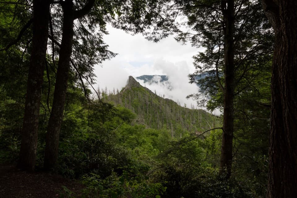
#8 of 197 trails in Great Smoky Mountains
Great Smoky Mountains National Park, TN · NC
A steep stair climb ends at a view of the fire-scarred pinnacles.
Overview
Map & elevation
Plan your hike

The highest, rockiest slopes around here are a summer buffet for grizzly bears.
Great Smoky Mountains Tour Guide
Parkwolf is a GPS audio tour guide for Great Smoky Mountains National Park. As you drive, it chimes in with what’s ahead: hidden gems, upcoming stops, history, geology, and wildlife, right through your car’s speakers.
See the Great Smoky Mountains audio tourRecorded for this trailhead
Chimney Tops Trailhead“Chimney Tops Trail is coming up, with a steep climb to a view of the twin rocky pinnacles. Give the three-and-a-half-mile round trip two to three hours, with plenty of stone and wooden steps.”
Plays as you drive up to this trailhead in the Parkwolf Great Smoky Mountains Tour Guide.
More stories near here in the app
“Fantastic app with many points of information… It’s great to just turn on while you’re driving and it gives you an audio tour of the national Park. We love it!!!!”


Trail guide
Chimney Tops Trail is a 3.5-mile out-and-back from Newfound Gap Road to an observation deck with a distant view of the twin pinnacles. Allow about two to three hours with breaks. The steep, step-heavy climb suits hikers looking for a proper workout. I’d do it for the river crossings and the fire-scarred ridge. The route ends at a signed gate about a quarter-mile short of the rocky summits, which remain closed.
The route begins beside the Little Pigeon River, before the sustained climb. It crosses the water several times on wooden bridges, with boulders and small cascades below. Take a moment at the water; the rocks are habitat for stream life, so leave them where they are. After the bridges, the route turns into a sustained climb and the river drops away.
Stone and wooden steps do much of the steep work. The route was rebuilt in 2012, and the steps make the climb clear. The grade stays steep. Between them, expect roots and uneven rock. Pace yourself on the way up and save enough for the same climb back down; wet stone and roots can be slippery after rain. This is the part that makes the hike feel harder than its mileage suggests.
The Chimney Tops 2 fire began in November 2016 and burned about 11,000 acres in the park. Severe fire and high winds stripped trees and soil from the ridge near the pinnacles, leaving ground the park considers unstable. From the open sections, you can see the contrast between bare rock and new growth. Fire cherry and birch have returned to the slope, while a large spruce killed by the fire later fell. The overlook lets you see that recovering ridge without entering the damaged summit area.
The payoff is the observation deck and its view toward the rocky Chimney Tops rising over the forest. Older accounts describe a summit scramble beyond this point. Stop at the gate and stay out of the closed section; the burned slope remains unstable. For a photo, frame the pinnacles through the trees instead of filling the frame with bare rock—the surrounding forest shows how dramatically the fire changed this ridge.
Start at the Chimney Tops Trailhead on Newfound Gap Road (US 441), about seven miles from Sugarlands Visitor Center. Parking is limited and can fill, so consider a shuttle. A parking tag is required for stops longer than 15 minutes. Sugarlands is the nearest restroom; I couldn’t confirm food or a water refill on the route, so bring what you need. Dogs aren’t allowed on this trail.
Wildlife
 1,569 sightingsBlack BearMost seen around 7 PMSighting map
 900 sightingsElkMost seen around 7 AMSighting map
 13 sightingsBald EagleMost seen around 9 AMSighting map
 142 sightingsTimber RattlesnakeMost seen around 6 PMSighting map
 26 sightingsBobcatMost seen around 8 PMSighting map
 42 sightingsRiver OtterMost seen around 7 AMSighting map
Sighting maps show where each species has been reported across Great Smoky Mountains. Wildlife moves, so no sighting is guaranteed.
Keep exploring
 ChallengingMount Le Conte via Alum Cave Trail10 mi · 7 hr · 1.2 mi awayA creekside climb through rock passages to high mountain views.
 ModerateAlum Cave Trail to Alum Cave Bluffs4.6 mi · 3.5 hr · 1.2 mi awayA forest climb to a 75-foot rock shelter and natural arch.
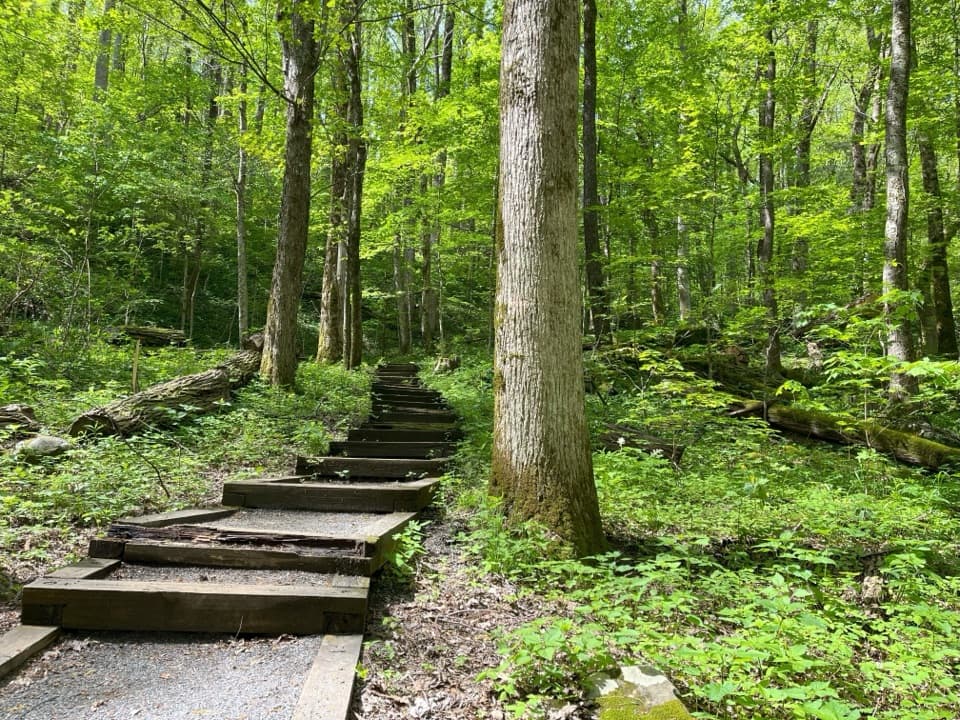 ModerateCove Hardwood Nature Trail0.8 mi · 45 min · 1.3 mi awayA shady hardwood loop with 40 steps up front.
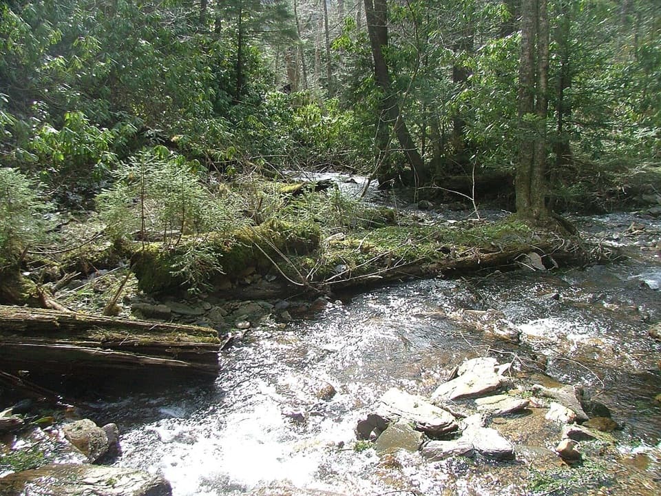 ChallengingRoad Prong Trail2.4 mi · 2 hr · 2.2 mi awayA rocky creek walk on the old Oconaluftee Turnpike
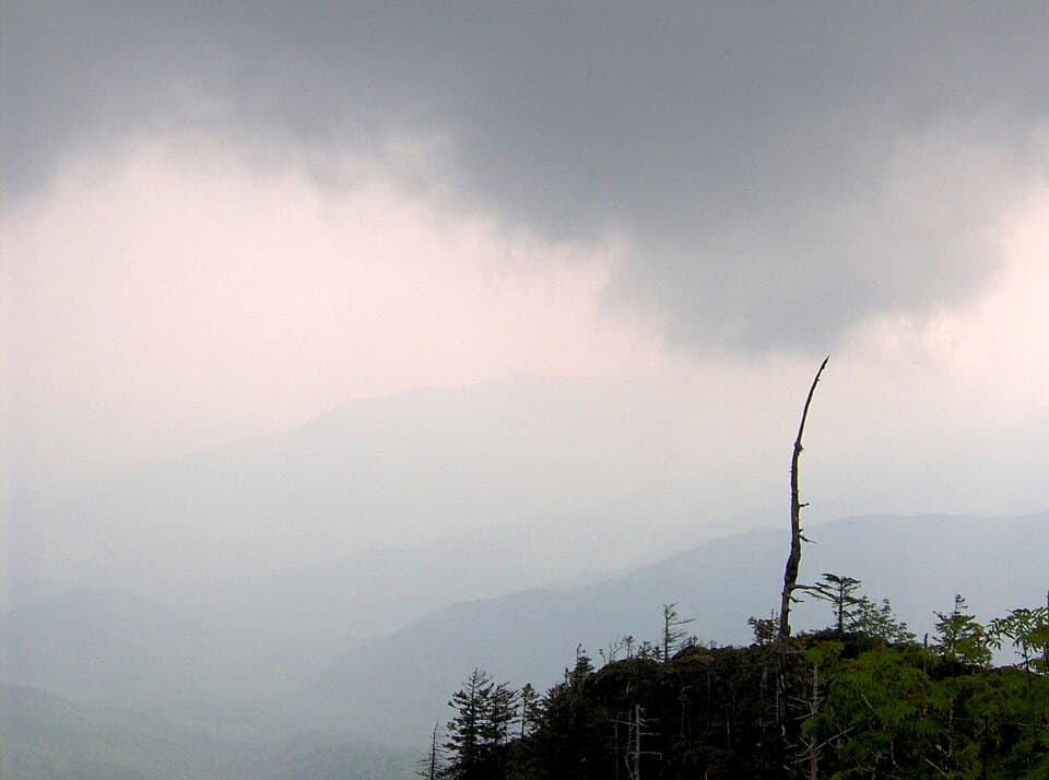 EasyMyrtle Point Trail0.7 mi · 45 min · 2.3 mi awayA sunrise detour reached only after the climb to Mount Le Conte
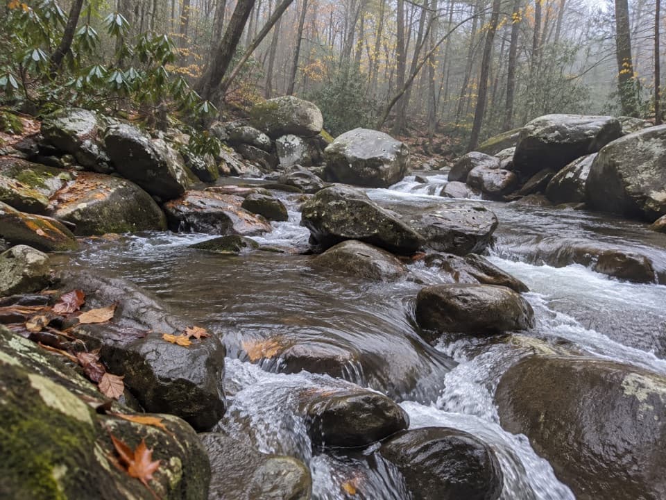 EasyBalsam Point Quiet Walkway0.4 mi · 30 min · 2.4 mi awayA short wooded loop with a rock-wall clearing and stream.
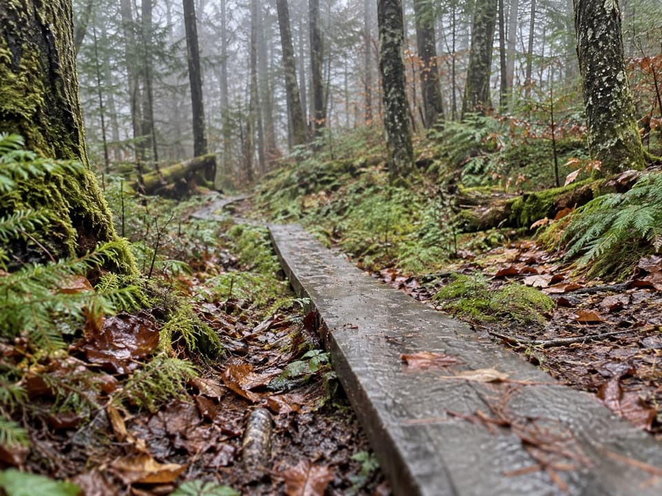 EasySpruce-Fir Nature Trail0.4 mi · 30 min · 2.8 mi awayA short, shaded loop through the Smokies' spruce-fir woods.
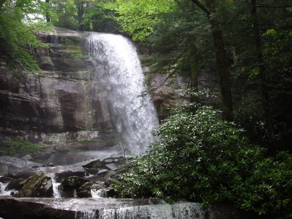 ChallengingRainbow Falls Trail5.6 mi · 4.5 hr · 2.9 mi awayClimb a boulder-lined creek valley to an 80-foot waterfall.
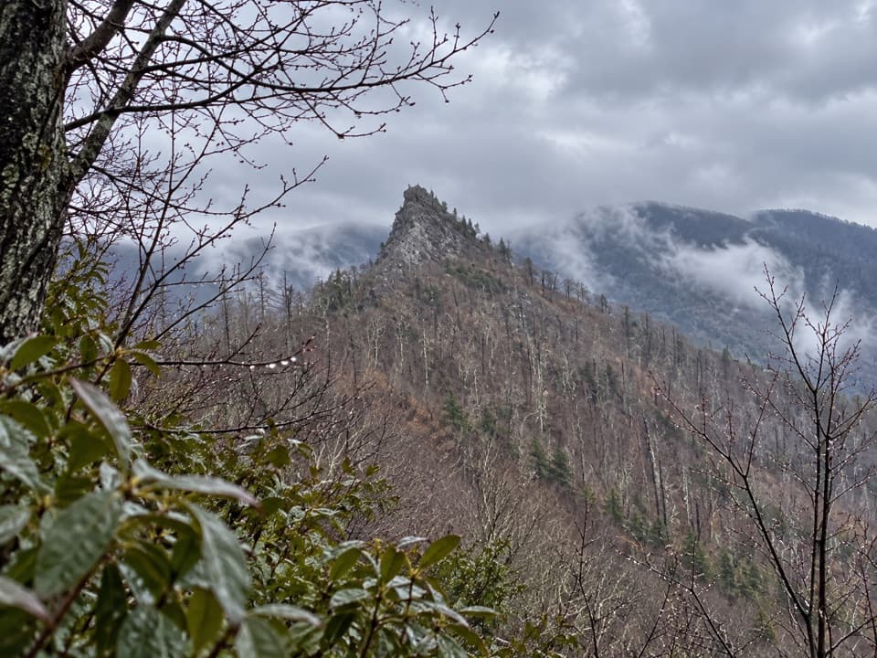 Sight · 0.8 mi awayChimney Tops Trail ViewpointA steep climb to the pinnacle view; the summit itself is closed.
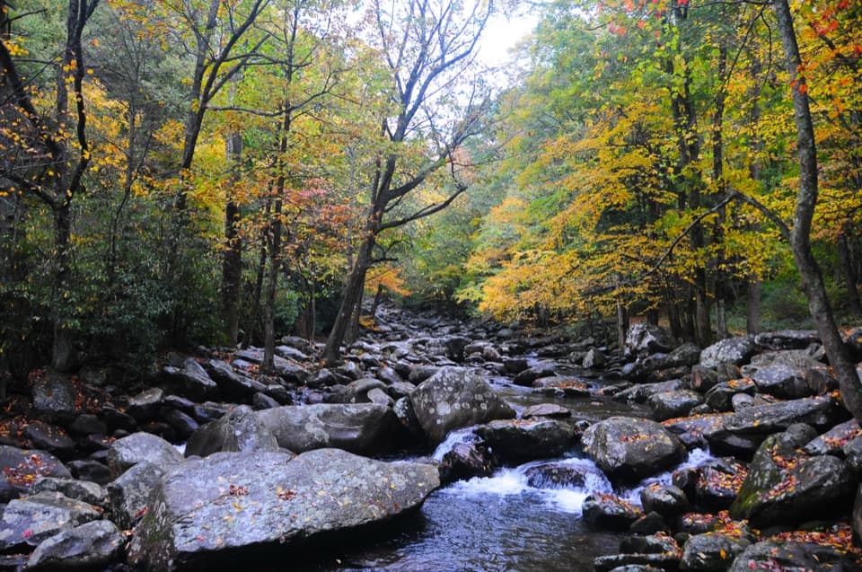 Picnic area · 1.1 mi awayChimneys Picnic AreaA shady lunch stop beside a cold, boulder-strewn river.
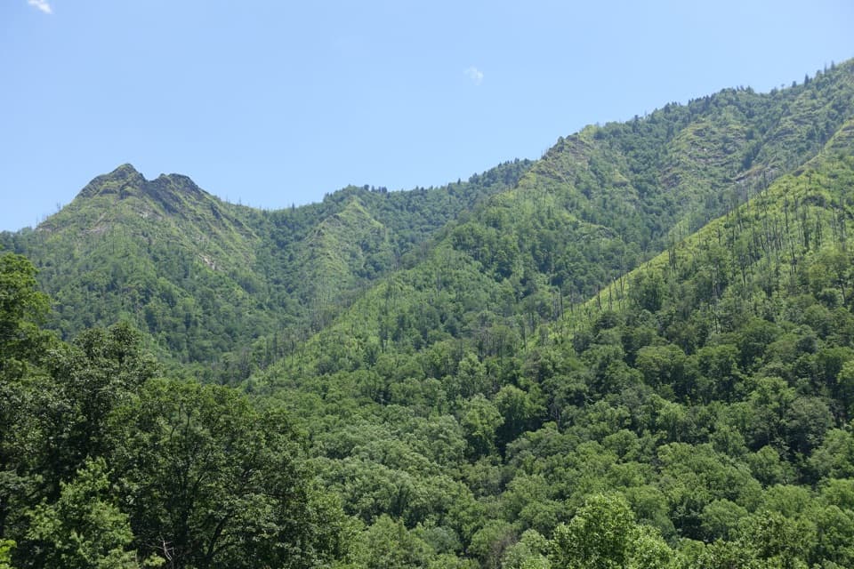 Scenic pullout · 1.3 mi awayChimney Tops OverlookStep out for the twin peaks without taking a hike.Sight · 1.4 mi awayAlum Cave BluffsA 4.6-mile Smokies hike ends beneath a 75-foot rock overhang.
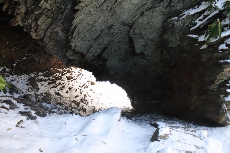 Sight · 1.8 mi awayArch RockTake the stone steps right through a natural arch.Sight · 1.9 mi awayRainbow FallsA steep Smokies climb to a waterfall named for its rainbows.
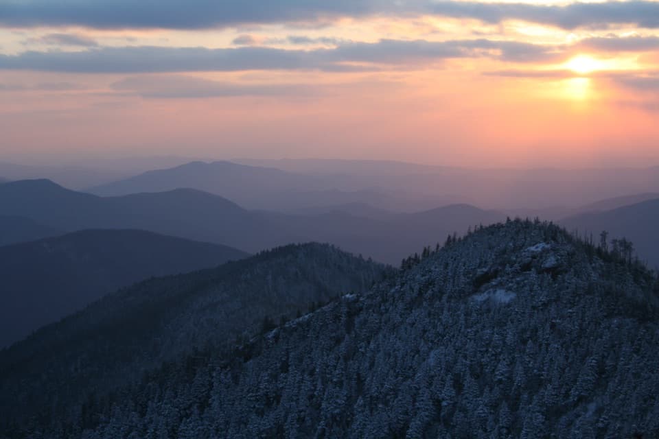 Sight · 1.9 mi awayCliff Tops ViewpointA wide LeConte panorama, best saved for sunset.
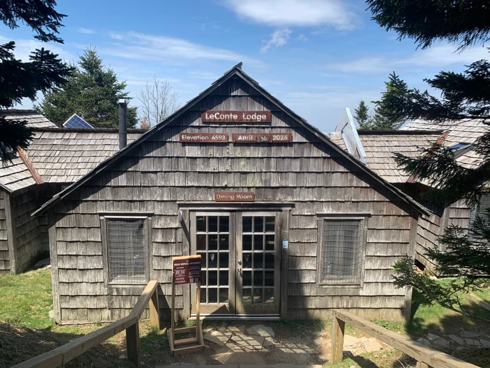 Lodging · 2.1 mi awayLeConte LodgeA historic hike-in lodge on Mount LeConte with family-style meals.
Parkwolf’s Great Smoky Mountains ranking

The audio tour guide for the drive, plus offline maps, trails, and wildlife heatmaps for when the signal drops.



