Alum Cave Bluffs

Dramatic rock overhang with big views after a varied, scenic hike
Alum Cave Bluffs, Great Smoky Mountains National Park
InsideGreat Smoky Mountains National Park

Overview

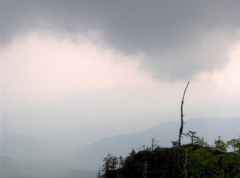
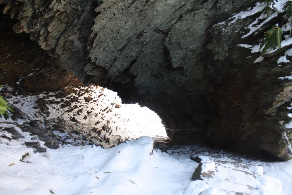
Alum Cave Bluffs isn’t a true cave—it’s a massive, concave cliff that soars roughly 80 feet high and stretches about 500 feet. It’s the signature turnaround for the park’s most beloved day hike, delivering big scenery without committing to a full summit day.

The Hike In (to 2.3 miles one‑way)

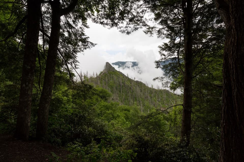
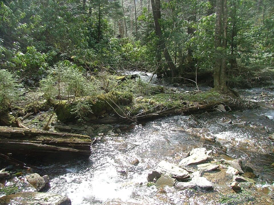
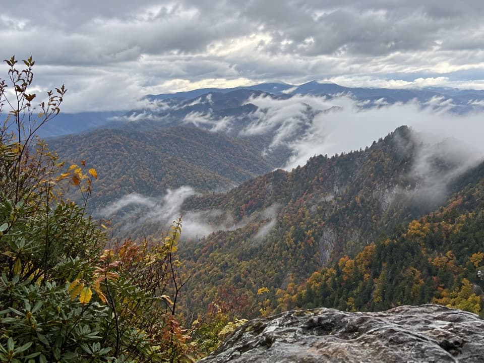
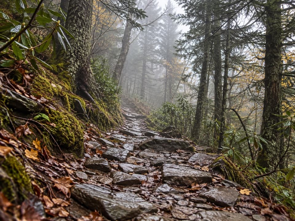
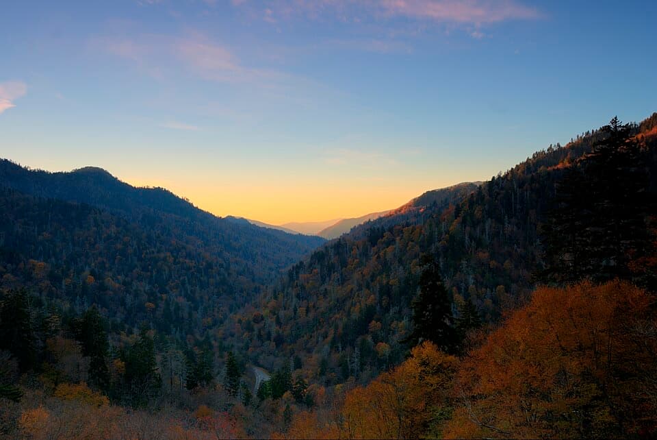
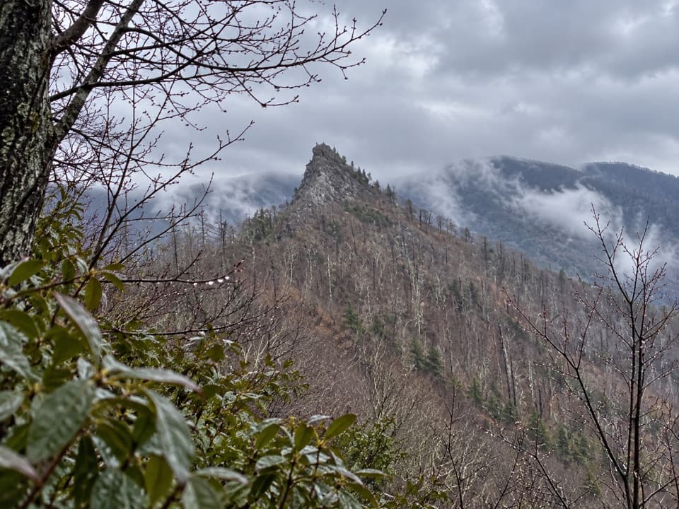
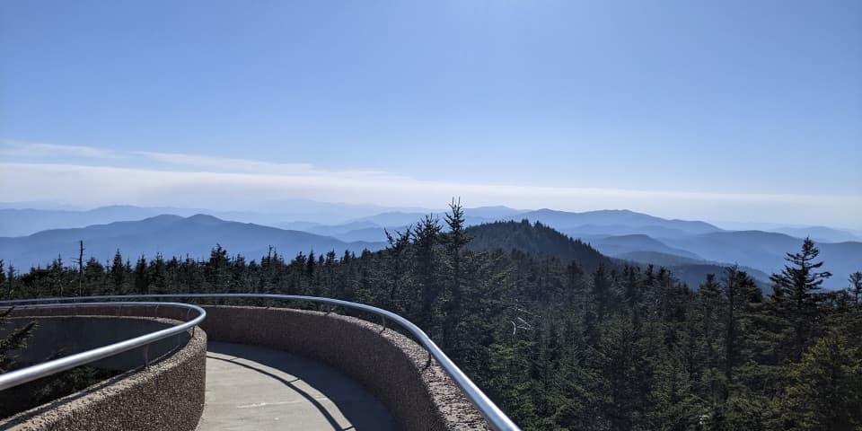
You’ll start with gentle creekside walking and footbridges through old‑growth forest before the trail tilts up. At about 1.3 miles, stone steps thread directly through Arch Rock, a natural arch sculpted by freeze‑thaw. Around 2.0 miles, Inspiration Point opens to views toward Little Duck Hawk Ridge and Myrtle Point—scan the cliffs for the “Eye of the Needle.” A few more minutes of steady climbing brings you beneath the bluffs’ enormous overhang—an ideal place to rest, snack, and soak in the vista.

  • Distance: about 4.6 miles roundtrip to the bluffs
  • Elevation gain: a steady climb, steeper after Arch Rock with lots of steps

What Makes It Special

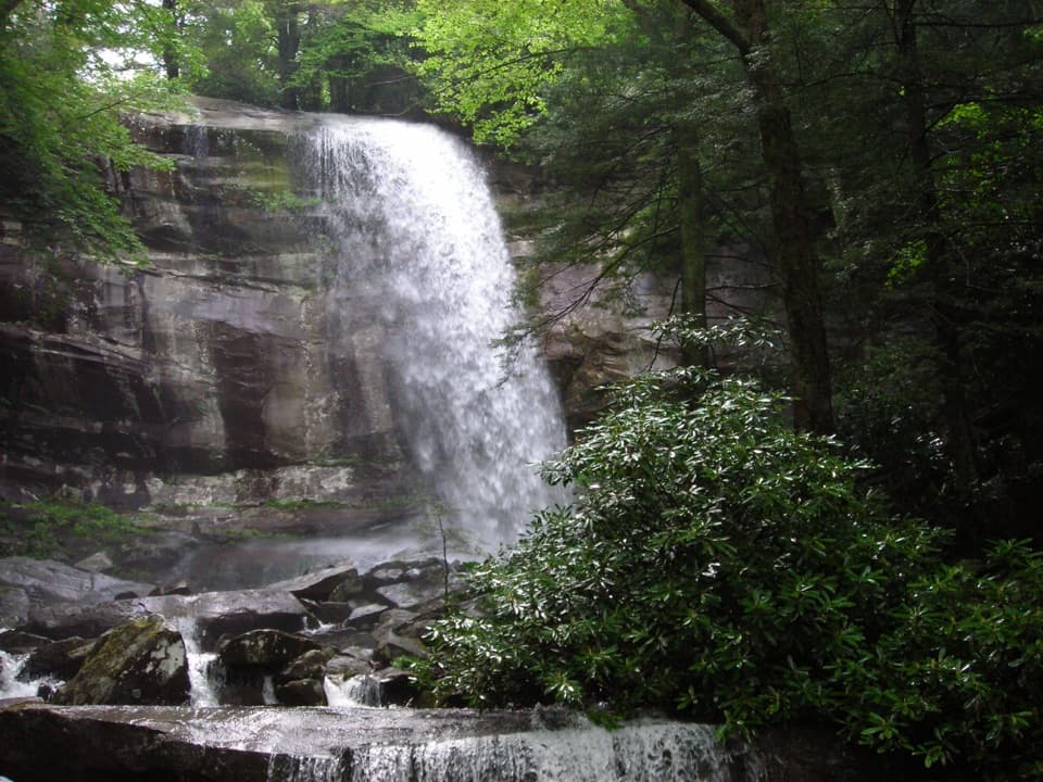
Few hikes pack this much variety this quickly: creek cascades, a slot‑like arch, wide‑open viewpoints, and the drama of the bluffs themselves. The overhang can offer some shelter from drizzle, and the vantage is a worthy payoff even if you don’t continue higher.

Going Farther (Mount Le Conte option)

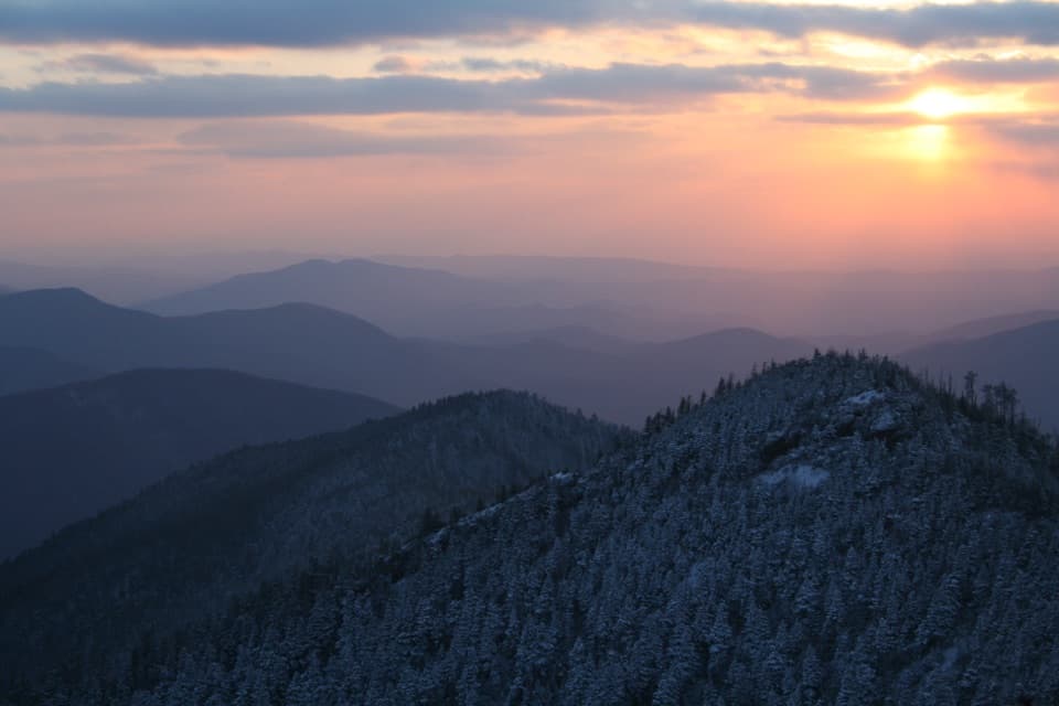
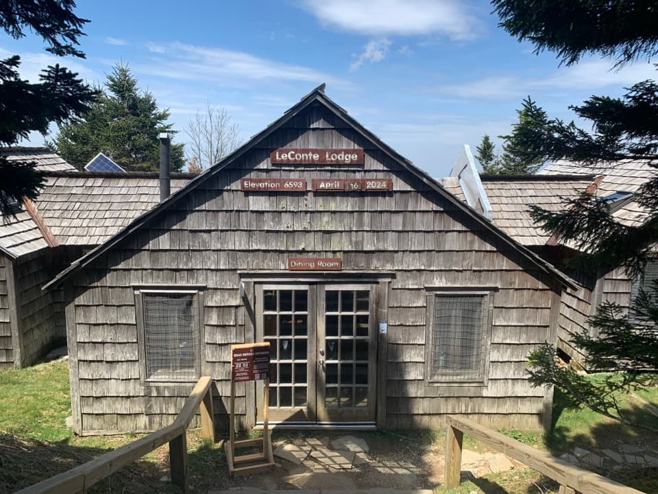
From the bluffs, stronger hikers can continue another 2.7 miles to the Mount Le Conte summit area and lodge (about 10 miles roundtrip total). It’s steeper and more strenuous beyond the bluffs, but the summit area rewards with standout viewpoints on clear days.

Logistics You Should Know

  • Trailhead: On Newfound Gap Road (US 441), between mile markers 10 and 11, roughly 6.8 miles south of Sugarlands Visitor Center.
  • Parking: Extremely limited and fills very early; roadside overflow is common. A parking tag is required.
  • Facilities: A seasonal pit toilet at the trailhead; no facilities along the trail or at the bluffs. Bring all the water you’ll need.

Seasonal Notes & Safety

The trail is open year‑round. In winter, expect icy tread and the potential for falling icicles at the bluffs; traction devices are wise in cold conditions. The upper section is rocky with many steps and some narrow, single‑file spots—turn around if conditions exceed your comfort level.

Wildlife

Deer and other wildlife are sometimes seen along the lower forested sections. Mornings are your best bet for quieter encounters; give animals plenty of space and keep food secure.

Best Time to Visit

Aim for early morning (parking often fills by 7–8 am in peak seasons) or late afternoon for lighter crowds and gentler light. Weekdays are calmer than weekends. If midday is your only option, expect a longer walk from overflow parking and more congestion on the stair sections.

Pros

  • Dramatic 80‑ft overhang with sweeping views
  • Varied, scenic hike featuring Arch Rock and Inspiration Point

Cons

  • Parking at the trailhead fills very early; crowds are common
  • Upper trail is steeper and rockier with many steps

Tips

  • Arrive before 7–8 am or late afternoon to avoid parking gridlock.
  • Carry plenty of water and snacks; there are no facilities on‑trail.
  • Expect steeper, rockier footing after Arch Rock—trekking poles help.
  • In winter, bring microspikes and watch for falling icicles at the bluffs.
  • Have a plan B hike in mind if the lots are full.
The Parkwolf tour guide sitting on a phone mounted in a car

Parkwolf Tour Guide

Like a tour guide in your car.

Save the places you found around Great Smoky Mountains, then let Parkwolf guide the drive between them.Download Parkwolf on the App Store