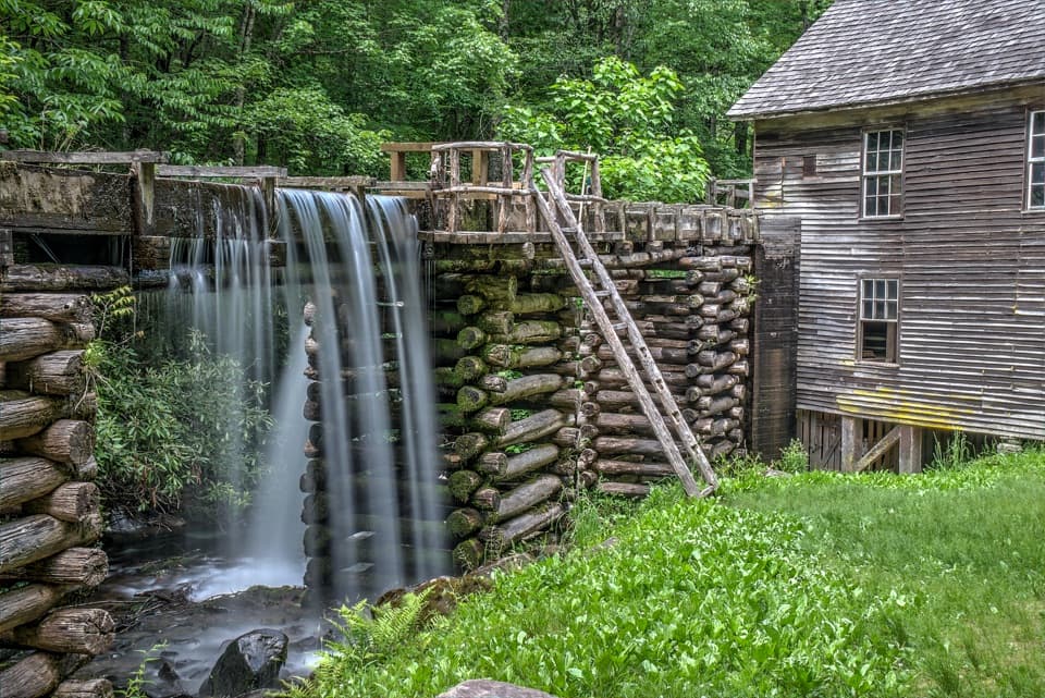
Baskins Creek Falls

Quieter two‑tier cascade after a steep, shady trek
Baskins Creek Falls, Great Smoky Mountains National Park
InsideGreat Smoky Mountains National Park

Overview

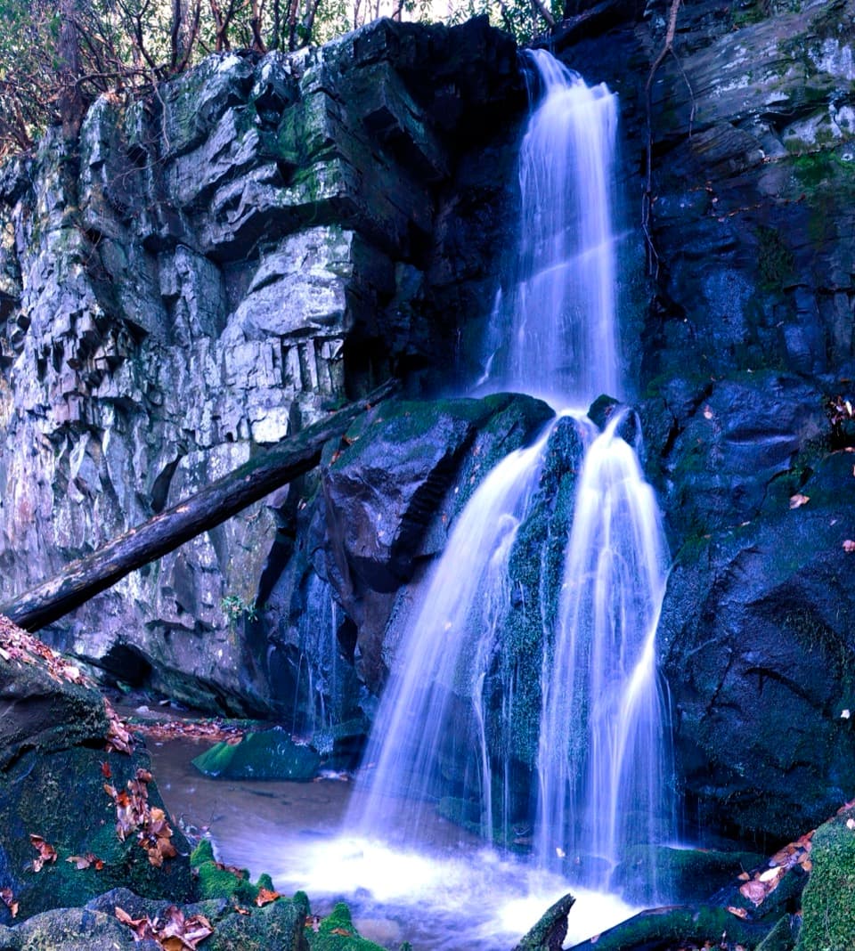
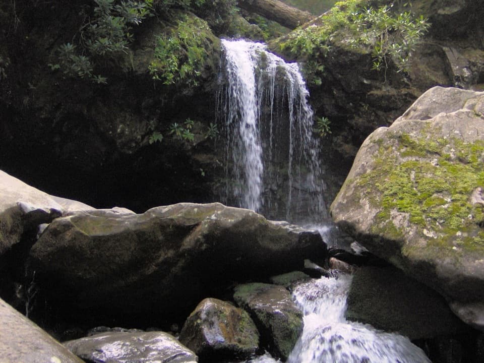
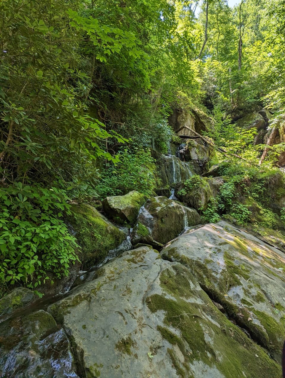
If you like your waterfalls with more solitude and a bit of effort, Baskins Creek Falls delivers. Tucked off Roaring Fork Motor Nature Trail, this two‑tier, ~40‑foot cascade is a shady, scenic reward that feels far from the crowds.

Trail at a Glance

Most visitors do this as an out‑and‑back to the falls: expect roughly 3.0–3.7 miles round‑trip, taking 2–3 hours depending on pace and conditions. The full Baskins Creek Trail is 2.7 miles one‑way if you hike it point‑to‑point. Elevation gain is roughly 900–1,030 feet, with most of the climbing on the way back out.

Route & Wayfinding

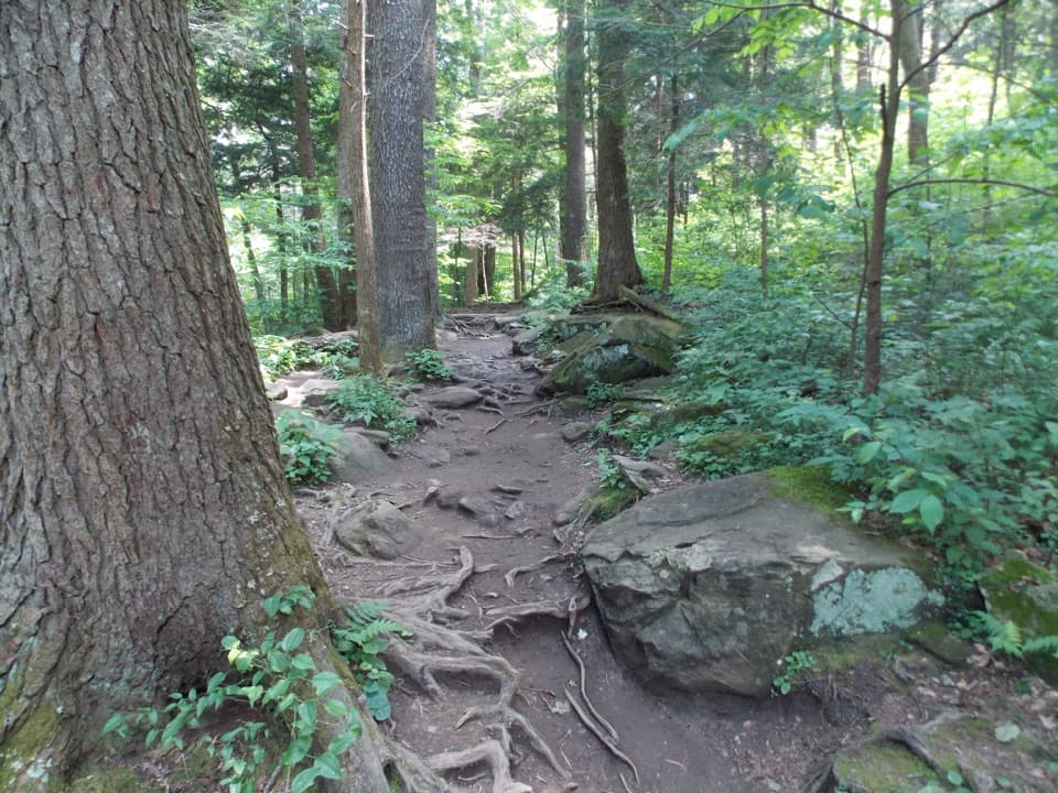
From the trailhead, the path rolls over a piney ridge before dropping toward Falls Branch. Around 0.9–1.0 miles in, you’ll rock‑hop an unbridged stream crossing that can get your feet wet after rain. At ~1.1 miles, there’s a spur to Baskins Cemetery—stay right to continue toward the falls. Near 1.3–1.4 miles, take the left spur down to the waterfall; the final ~50 yards are steep, unmaintained, and can be slick. Roots, mud, and rocky steps are part of the deal here.

What Makes the Falls Tick

Like many Smokies cascades, Baskins Creek drops where the stream encounters tougher, erosion‑resistant rock layers—classic Appalachian geology that carves ledges and multi‑tiered falls over time.

Getting There, Parking, and Rules

Access is via the one‑way Roaring Fork Motor Nature Trail off Cherokee Orchard Road. Parking at the trailhead is a tiny pullout and fills fast; a common workaround is using the Rainbow Falls parking area and walking a short stretch along the road to the Baskins Creek trailhead. There are no restrooms or water at the trailhead. A park‑wide parking tag is required if you’ll be stopped more than 15 minutes. Dogs and bicycles are not allowed.

Trail Conditions & Safety

Expect roots, mud, and slick rock—especially after rain—and an unbridged creek crossing. Waterproof footwear and trekking poles help a lot, and you’ll be happier with extra water for the uphill return. The final descent to the falls is steep and rugged; take your time.

Wildlife & Flora

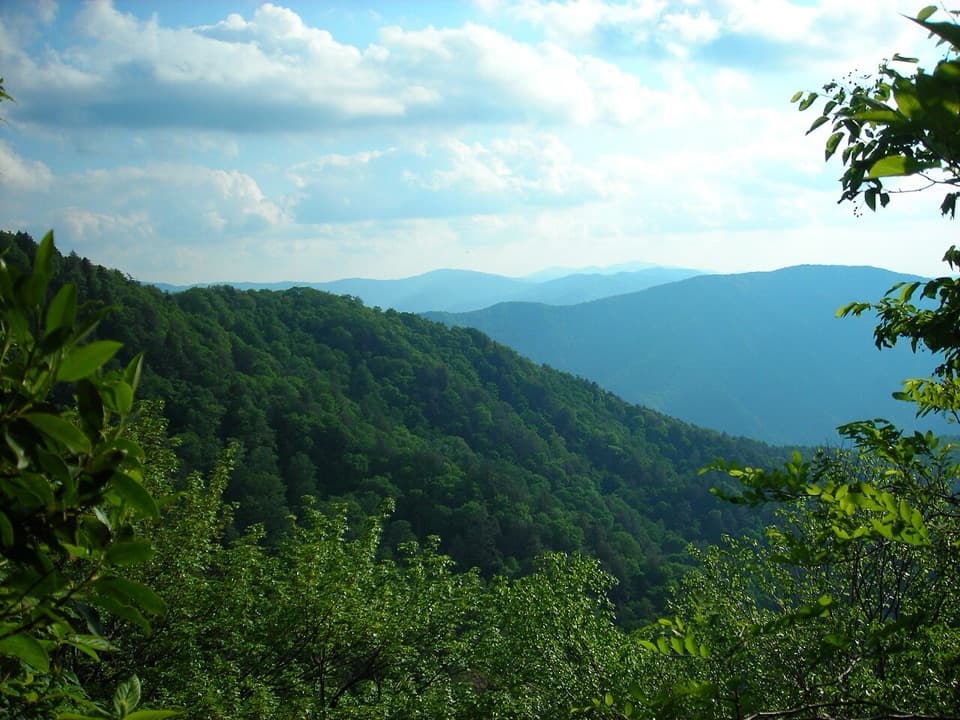
This forested route hosts songbirds, deer, and—occasionally—black bears. Give wildlife plenty of space, keep snacks secured, and pack out everything you bring. Hemlocks, red oaks, maples, ferns, and mountain laurel line the way, with lush greenery adding to the creekside ambiance.

Best Time to Visit

Start early to snag parking and have the falls mostly to yourself. Spring through fall is prime; flows pop after recent rain, though crossings will be higher. The Roaring Fork road is seasonally closed in winter—plan on hiking in from elsewhere if it’s closed. For photos, soft morning light works beautifully in this shaded hollow.

Little History Nugget

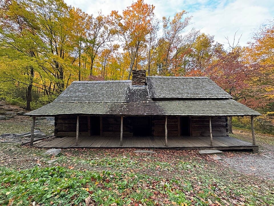
Local lore says the creek was named for a hunter called “Bearskin Joe,” which over time morphed into “Baskins.”

Pros

  • Beautiful 40‑foot, two‑tier waterfall with a serene setting
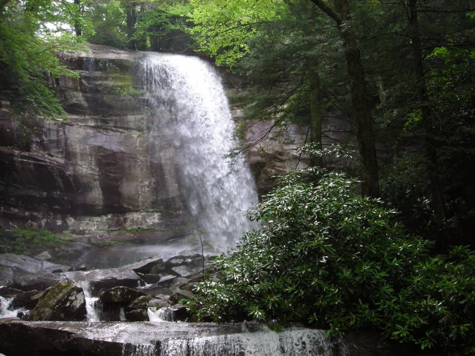
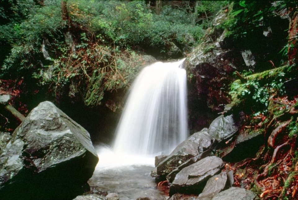
  • Typically quieter than nearby Rainbow and Grotto Falls

Cons

  • Steep, rugged final approach and a sustained uphill return
  • Very limited parking on a one‑way road; no restrooms

Tips

  • Arrive early; the tiny pullout fills fast on the one‑way Roaring Fork road.
  • Buy your park parking tag before you go—there’s no sales at the trailhead.
  • Wear waterproof footwear and consider trekking poles for the steep, slick final descent.
  • After rain, expect a wet, unbridged creek crossing near 1 mile.
  • At the cemetery spur (~1.1 mi) stay right; later, take the left spur down to the falls.
The Parkwolf tour guide sitting on a phone mounted in a car

Parkwolf Tour Guide

Like a tour guide in your car.

Save the places you found around Great Smoky Mountains, then let Parkwolf guide the drive between them.Download Parkwolf on the App Store