
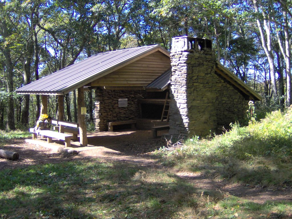
Place · 1.9 mi away
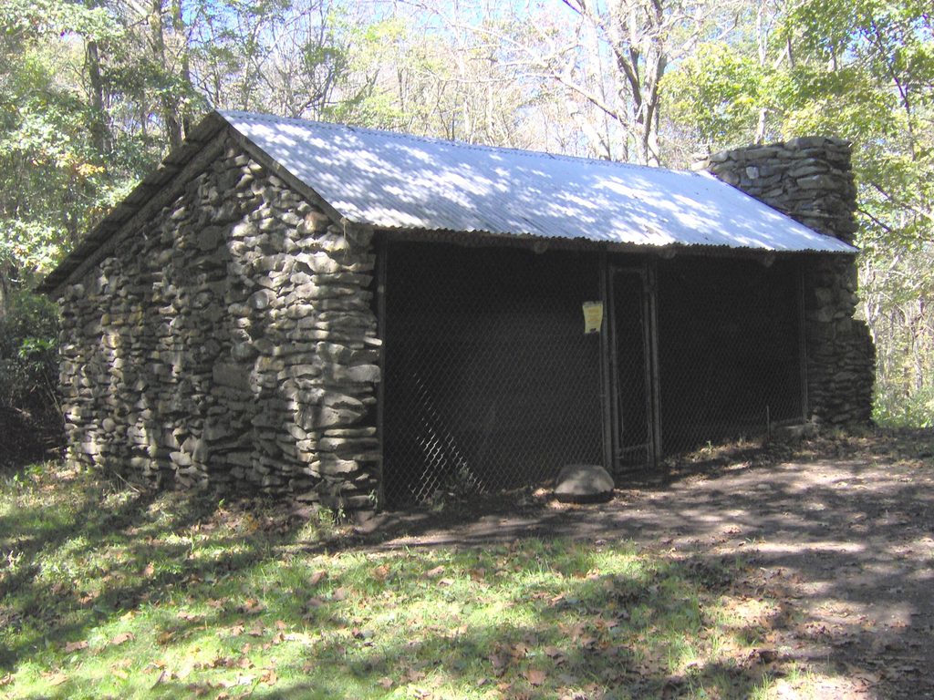
Russell Field Shelter is a reservation-only backcountry stop tucked beside the Appalachian Trail near the historic Russell Field. It’s a practical, no-frills base for backpackers linking classic Smokies ridges, with the bonus of blooming laurel and flame azalea in late spring.
Most hikers come up from Cades Cove via Anthony Creek Trail, then turn onto Russell Field Trail for the stout ascent to the AT—about 5.2 miles to the shelter. Expect sections churned by horse use, steady grades, and some mud after rains. The route also ties neatly into loops with Bote Mountain and Spence Field if you’re making a day of it.
This is an older, chain‑link–front shelter that’s functional rather than fancy and can be mousey. There’s no privy; instead, a designated toilet area with spades is provided—plan accordingly. A spring sits a short walk downhill; treat all water and know that flows can ebb in dry spells. Bear cables are on site, and there’s a hitching post for equestrians.
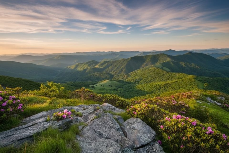
Russell Field itself is a reclaimed meadow from the Cades Cove settlement era; small grassy openings remain. The best big views are a bit farther along the AT near Spence Field, with an optional add‑on to Rocky Top for standout vistas. In June, the AT corridor between Russell and Spence Fields often lights up with mountain laurel and flame azalea.
This corridor sees regular black bear activity. Use the bear cables, keep a clean camp, and check current backcountry advisories before you go. Deer are commonly spotted, too. Trails are generally well maintained but can be muddy with roots and occasional creek crossings lower down.
February through November is the typical window. Late spring and early summer bring the laurel/azalea bloom; leaf‑off months open up ridge views (with a shot of snow and cold up high). Start early for the climb from Cades Cove, and expect more hikers on the AT than on Russell Field Trail.
Place · 1.9 mi away
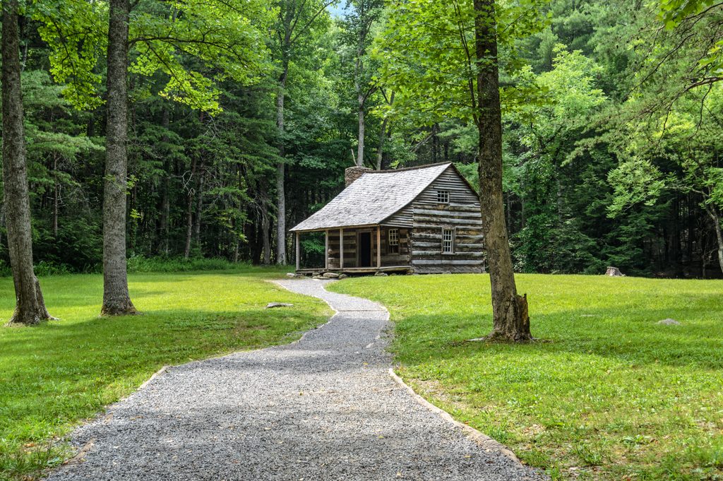
Place · 2.7 mi away
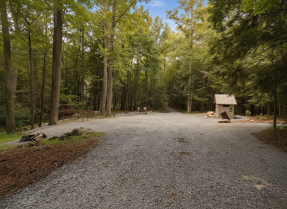
Place · 2.8 mi away
Place · 2.8 mi away

Moderate · 3.2 mi away
Challenging · 3.3 mi away
Easy · 3.3 mi away
Challenging · 3.5 mi away

Parkwolf Tour Guide
