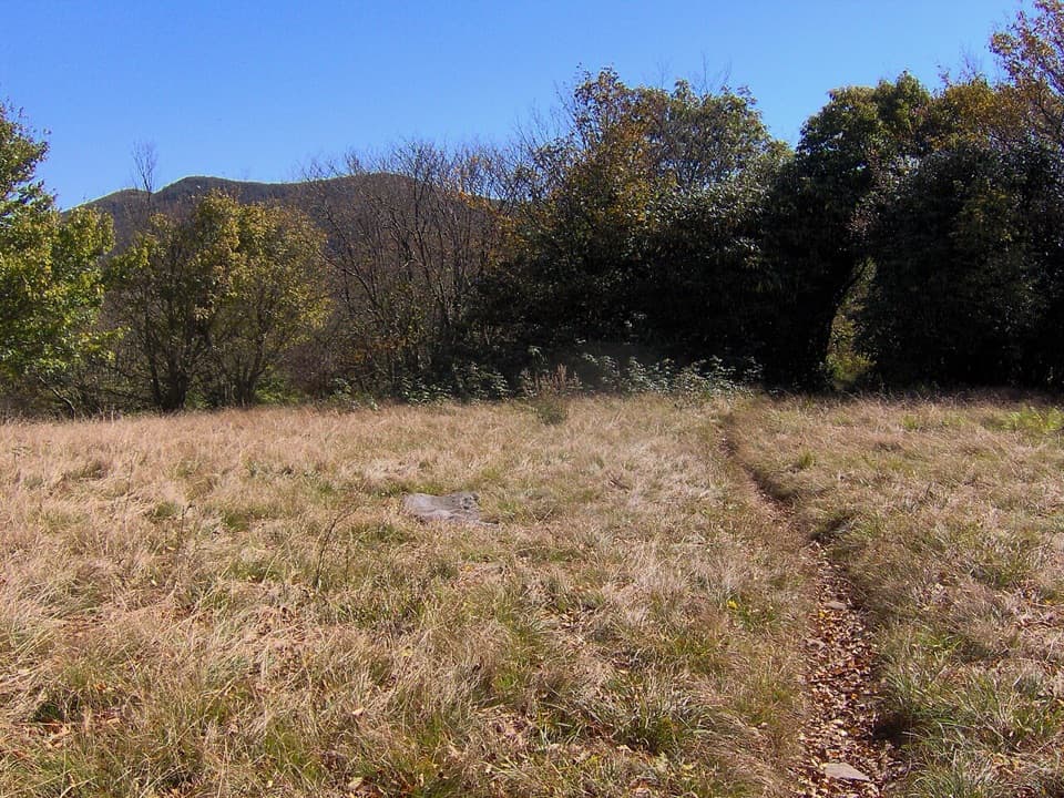
Spence Field

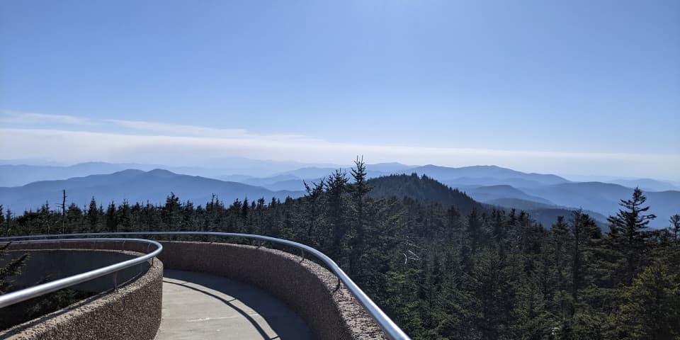
High meadow on the AT with laurel blooms and wide NC-side views
Spence Field, Great Smoky Mountains National Park
InsideGreat Smoky Mountains National Park

Overview

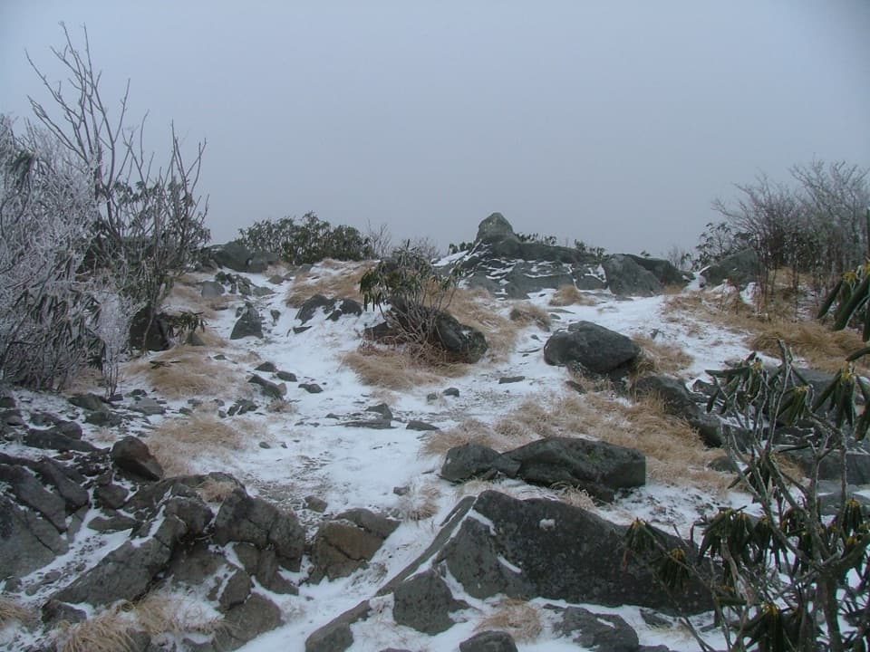
Spence Field is a high, meadowy shoulder along the Appalachian Trail near Thunderhead Mountain (around 4,920 feet). Once cleared for grazing, it’s slowly filling back in with shrubs, but you still get rewarding vistas—especially toward the North Carolina side. The most open, “field‑like” stretch with the best views sits about 0.25 mile left (east) on the AT from the Bote Mountain Trail junction; the backcountry shelter is in the opposite direction.

Getting There (Day Hikes)

  • Shortest, steepest: Lead Cove Trail → Bote Mountain Trail → Appalachian Trail to Spence Field. Plan on roughly 9.4–9.5 miles round‑trip with about 3,000–3,100 feet of climbing. Parking is roadside pull‑offs on Laurel Creek Road.
  • Gentler start, slightly longer: Anthony Creek Trail (from the Cades Cove picnic area) → Bote Mountain Trail → AT. Expect about 11 miles round‑trip. The early miles follow creekside forest before the steeper Bote Mountain climb.

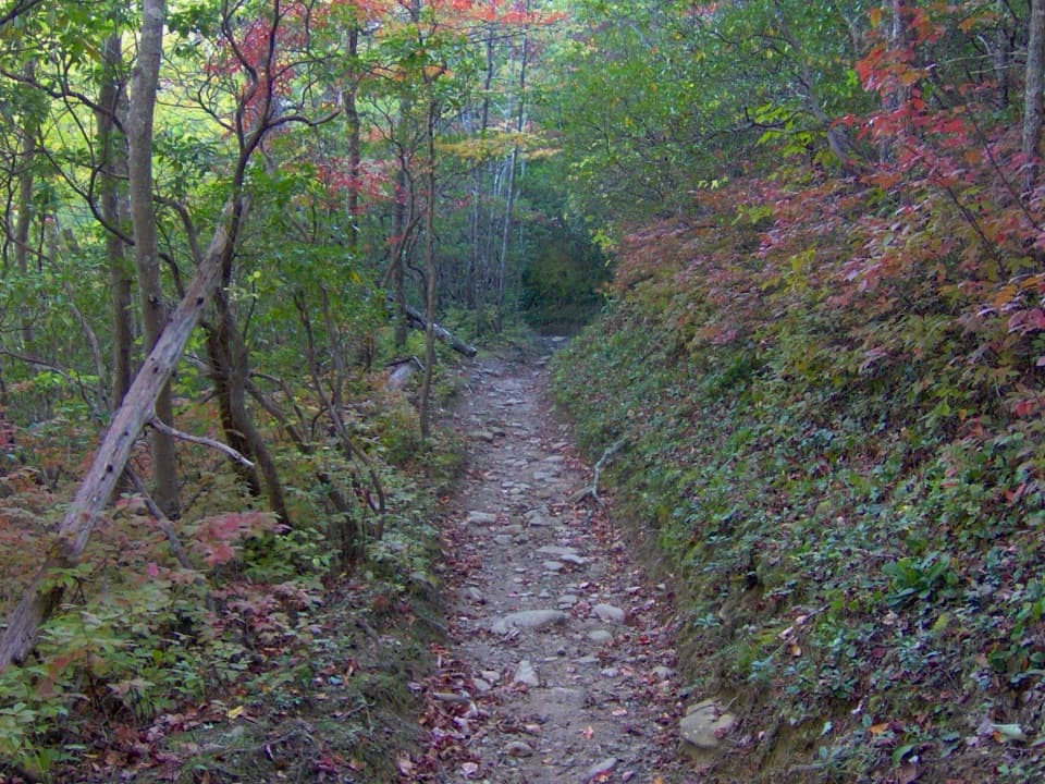
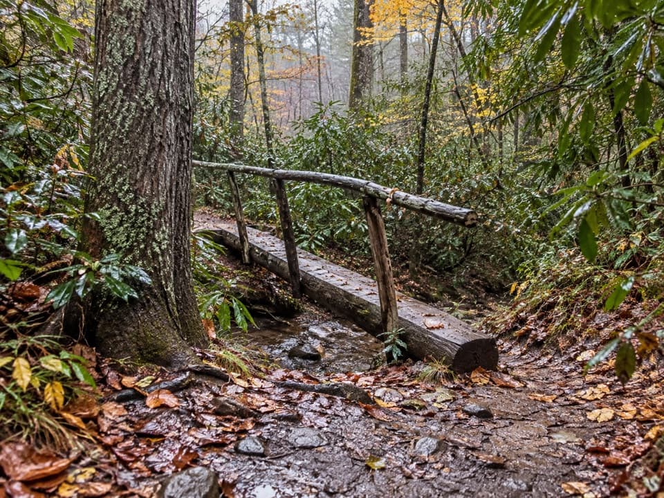
Bote Mountain’s tread is deeply worn from historic use—expect ruts, rocks, roots, and mud after rain. Trekking poles help.

What You’ll See

  • Views: Open grassy patches and shoulder‑high shrubs frame long looks to Thunderhead and the North Carolina slopes. For the classic panorama, remember to go left on the AT from the Bote junction.
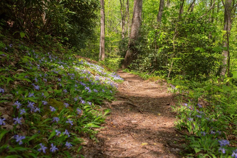
  • Blooms: Late spring into June brings rhododendron tunnels and a standout mountain laurel show across the high meadows; you may also spot flame azalea.
  • Wildlife: White‑tailed deer are common near Cades Cove. Black bears are possible anywhere—give them space and secure any food if you’re staying near the shelter.

Great Add‑On

From Spence Field, continue about 1.2 miles east on the AT (roughly 500–550 feet more climbing) to Rocky Top for one of the area’s most sweeping viewpoints.

Backcountry Shelter

A popular backcountry shelter sits just off the AT near Spence Field and typically requires advance reservation. Expect basic, rustic accommodations and a nearby water source; there are no services at the field itself.

Best Time to Visit

  • Late spring–June for blooms; fall for color and crisp air. On clear winter days, leaf‑off can mean the best long‑range views, but dress for cold.
  • Go early for cooler temps, easier parking, and softer light. Weekdays beat Cades Cove traffic. After heavy rain, trails can be sloppy and slow.

Need‑to‑Know

  • This is a full‑value mountain hike: steep, sustained grades and rough tread. Start early, bring plenty of water/electrolytes, and pack a rain shell and headlamp.
  • Park It Forward: a parking tag is required for vehicles parked more than 15 minutes anywhere in the park.

Pros

  • Open meadow on the AT with far‑ranging views (best 0.25 mi east)
  • June mountain laurel bloom and rhododendron tunnels on approaches
  • Easy add‑on to Rocky Top for bigger vistas

Cons

  • Strenuous, rutted climbs (~3,000 ft gain) that can be muddy after rain
  • No services at the destination; limited roadside parking for the shortest route

Tips

  • At the AT–Bote Mountain junction, go left about 0.25 mi for the best meadow views.
  • Poles and waterproof footwear pay off on Bote Mountain’s steep, rutted tread.
  • Start early and aim for weekdays to sidestep Cades Cove traffic and heat.
  • After reaching Spence Field, budget time and energy to tag Rocky Top for top‑tier views.
  • Purchase and display a Park It Forward parking tag before you hit the trail.
The Parkwolf tour guide sitting on a phone mounted in a car

Parkwolf Tour Guide

Like a tour guide in your car.

Save the places you found around Great Smoky Mountains, then let Parkwolf guide the drive between them.Download Parkwolf on the App Store