Pros & cons
PROS
- Quiet backcountry site at a historic gap
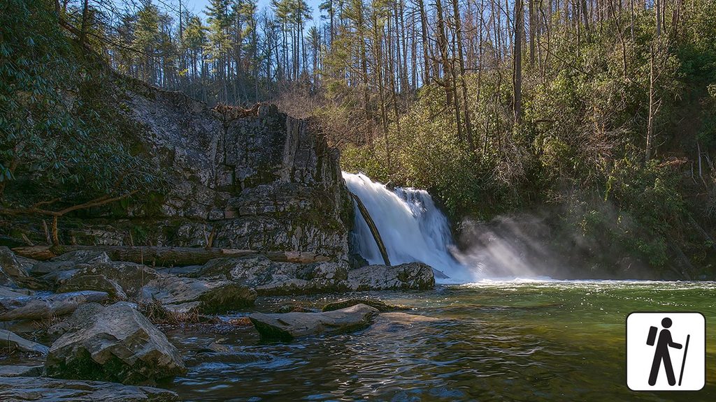
- Approach hikes feature creeks, small waterfalls, and occasional views
CONS
- No facilities; reservation and fee required
- No dedicated parking or signed trailhead—hike-in only
Overview
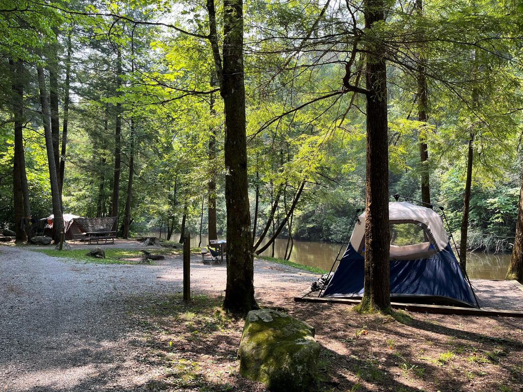
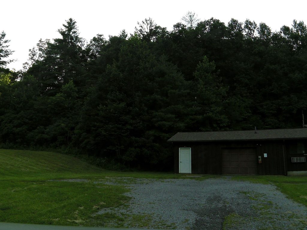
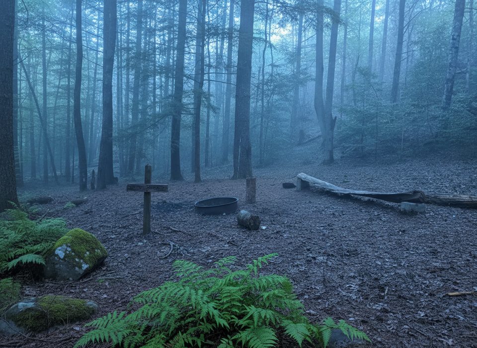
Scott Gap is a low saddle in the backcountry that doubles as a primitive campsite. Think forest quiet, a simple clearing, and stars if the canopy allows. It’s not a developed destination—no signboards, no pit toilets—just a low-key overnight spot for backpackers linking nearby trails.
What You’ll See
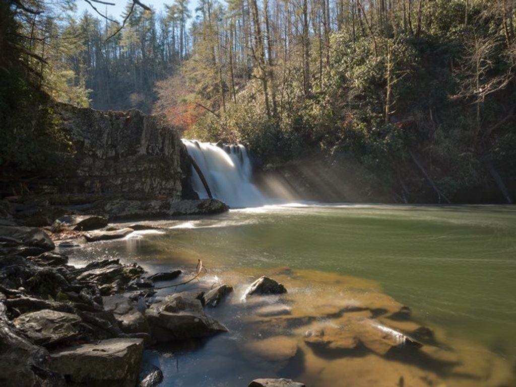
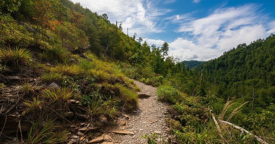
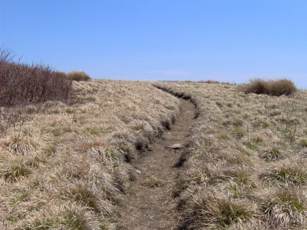
Trails in this area roll through classic Smokies forest with stream crossings, small waterfalls, and periodic mountain views. Expect moderate grades and the occasional blowdown on surrounding routes—nothing epic, but enough to keep it interesting.
Camping & Regulations
Scott Gap is designated as backcountry campsite 16. All backcountry sites in the park require a reservation and fee. There are no restrooms or amenities here; pack out all waste and practice strict Leave No Trace. Store food properly—this is bear country, and proper food storage is required.
Navigation Notes
There isn’t a developed trailhead specifically for Scott Gap. You’ll reach it by hiking in from other trails, so plan your route carefully and carry a reliable topo map with offline access. In the Smokies, vehicle GPS can misroute you—use official park maps for planning and to confirm parking and restrooms near your chosen approach.
Wildlife
You’re in good habitat for deer, turkeys, and black bears. Your best chance for sightings is early and late in the day. Keep a generous distance from wildlife and never feed animals.
Best Time to Visit
- Weekdays for quieter trails and easier logistics.
- Early starts are smart—reach camp with daylight to spare.
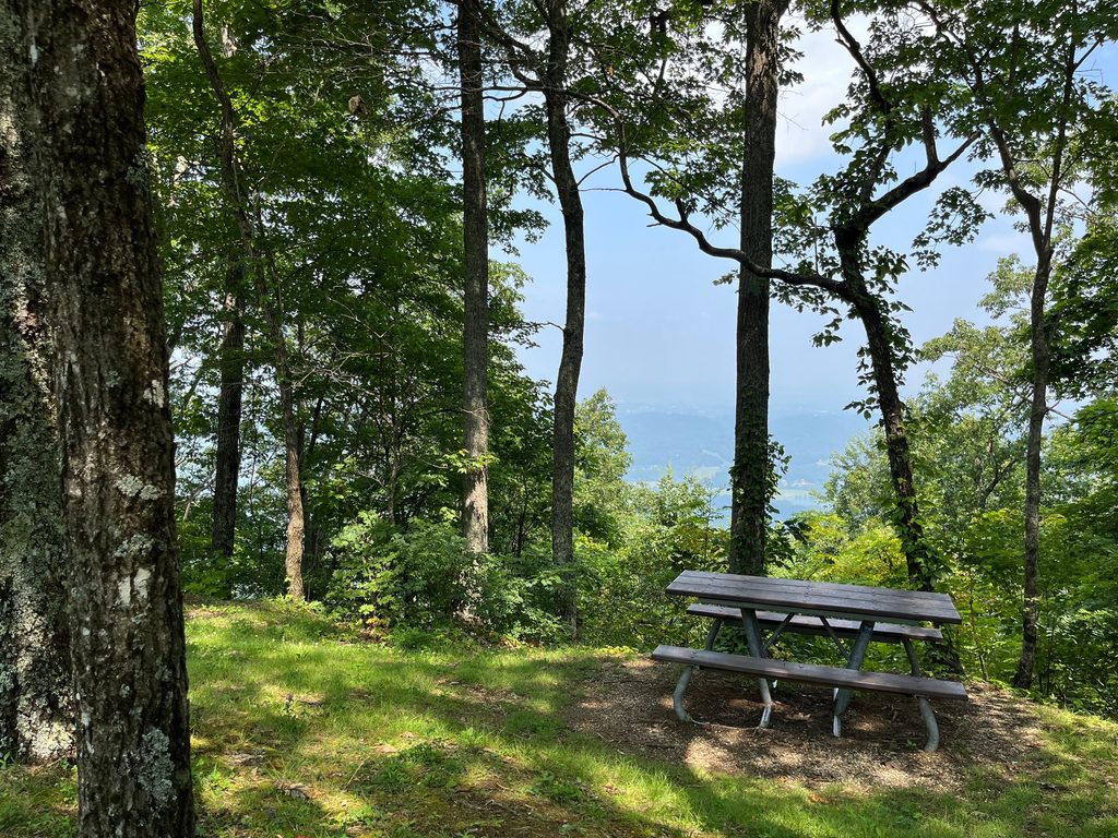
- Winter’s leaf-off can open up views and make wildlife easier to spot, but check current conditions and closures before you go.
Where it is
35.5951, -83.9160Tips for Scott Gap
- 01Book your backcountry permit early—sites can fill during peak seasons.
- 02Plan a route from a developed parking area and carry an offline topo map.
- 03Hang or canister your food and keep a spotless camp to avoid bear issues.
- 04Start hiking early to reach camp before dark and to beat any trail delays.
- 05Check current closures and trail conditions before committing to your itinerary.
Near Scott Gap
All places →All trails →
1.4 mi awayAbrams Creek Ranger StationTiny outpost by a quiet creek, often closed and bare-bonesRanger Station
1.5 mi awayLittle Bottoms TrailCreekside connector with solitude, roots, and splashy stream hopsModerate · 2.3 mi · 1.5 hr
1.5 mi awayAbrams Creek CampgroundShaded creekside campground with basic comforts and great trail accessCampground · Restroom
2.2 mi awayAbrams FallsPowerful 25-foot falls after a classic creekside hikeTrailhead · Parking
2.8 mi awayLook Rock Picnic AreaShaded Foothills Parkway picnic spot with grills and tower nearbyPicnic Table · Restroom
3.6 mi awayAbrams Falls TrailRolling creekside hike to the park’s most voluminous waterfallModerate · 5 mi · 3 hr
3.8 mi awayGregory Bald TrailShorter, steeper path to azalea-famous summit meadow viewsChallenging · 9 mi · 5.5 hr
4.1 mi awayElijah Oliver Cabin Access TrailEasy stroll to a historic dogtrot homestead in quiet Cades CoveEasy · 1.1 mi · 36 min