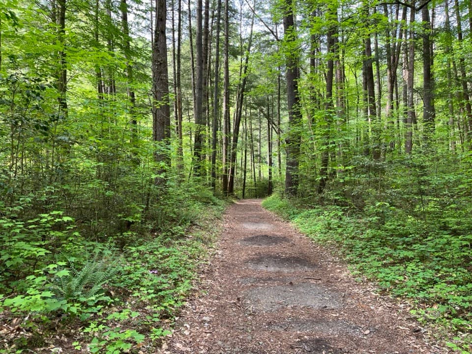
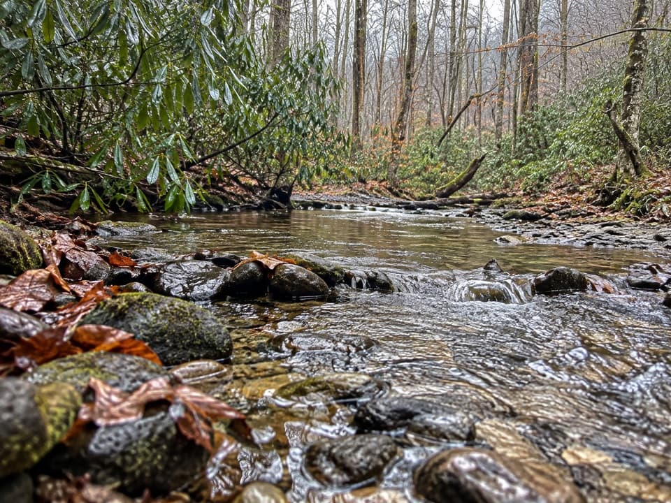
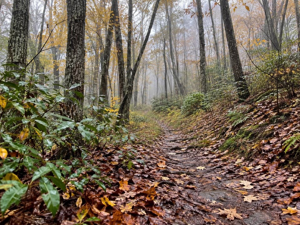
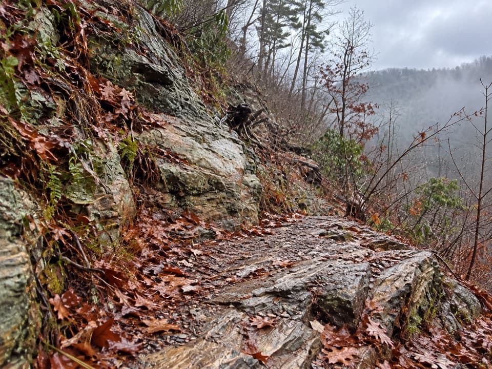
Abrams Creek Campground in Great Smoky Mountains National Park

Campground · Great Smoky Mountains National Park

Abrams Creek Campground

A quiet creekside base for camping and longer trail days.

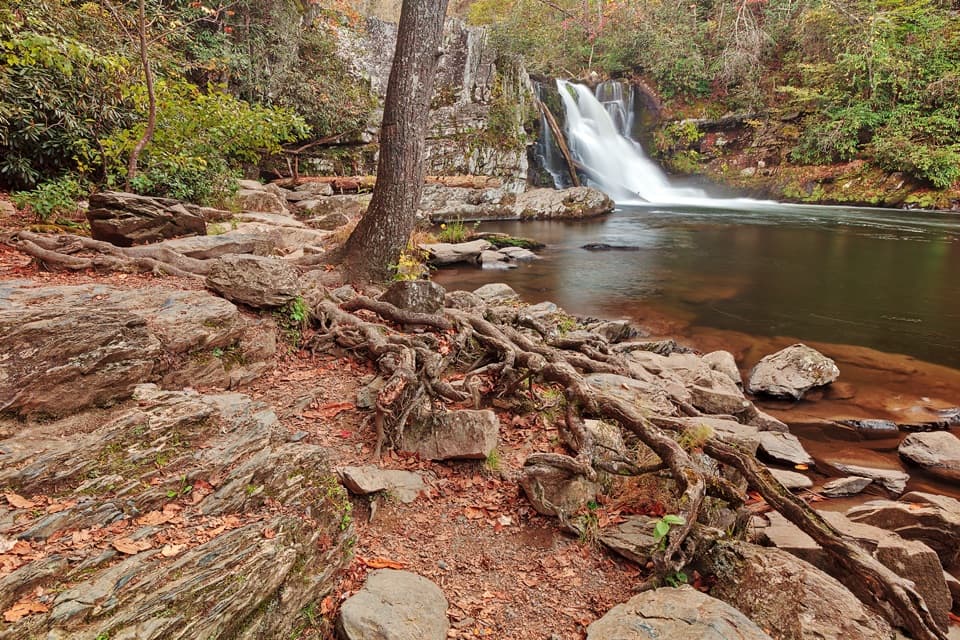
Photo: National Park Service
Type
Campground
Nearest trail
Right here
Audio stories
3 nearby
  • Restrooms
  • Parking
  • Picnic tables
  • Trailhead

Hear the audio tour

Abrams Creek Campground and Cooper Road

Overview

About Abrams Creek Campground

Why stop

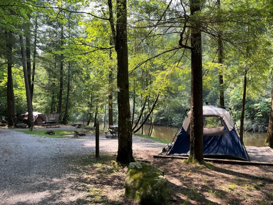
  • Some tent sites sit right beside Abrams Creek.

Heads up

  • No showers or hookups, and toilets and water are seasonal.

Map

Where it is

Loading the Great Smoky Mountains map
Full map
CampgroundAbrams Creek Campground35.61088, -83.93337
Keep this map with you offline in the Parkwolf app

Plan your stop

Before you go

7 active Great Smoky Mountains alerts

  • ClosureHurricane Helene trail damage and backcountry restrictionsHurricane Helene damage has restricted backcountry trail access; avoid damaged crossings and observe trail-specific limits.Official details
  • CautionBear-related trail, campsite, and road restrictionsBear activity has closed trails, a shelter, and campsites and restricted pedestrian access on Cherokee Orchard Road; stay out of closed areas and follow vehicle-only rules.Official details
See all 7 alerts
A park ranger sits on a dash-mounted phone, talking, as Parkwolf’s Tour Guide plays “Army Cutworm Moths: A Grizzly Bear Buffet” on Grand Loop Road below Dunraven Pass in Yellowstone
Parkwolf Tour GuideThe highest, rockiest slopes around here are a summer buffet for grizzly bears.

Great Smoky Mountains Tour Guide

Your drive to Abrams Creek Campground, narrated.

Parkwolf is a GPS audio tour guide for Great Smoky Mountains National Park. As you drive, it chimes in with what’s ahead: hidden gems, upcoming stops, history, geology, and wildlife, right through your car’s speakers.

See the Great Smoky Mountains audio tour

Recorded for this place

Abrams Creek Campground and Cooper Road
0:00 / 0:43
“You're approaching Abrams Creek Campground, a small, seasonal base beside the water. Its sixteen sites need reservations, and there's no cell reception or camp store, so book and buy supplies before driving in.”

Plays as you drive up to Abrams Creek Campground in the Parkwolf Great Smoky Mountains Tour Guide.

More stories near here in the app

  • Look Rock Tower
  • Pennies Toward a Park
  • George Masa’s Camera and Bicycle Wheel
  • Thirty Dollars a Month
  • 200 audio storiesacross Great Smoky Mountains’s roads, triggered by GPS as you drive
  • Wildlife heatmapsfor Black Bear, Elk, Bald Eagle, and 13 more
  • Works offlinemaps, 197 trails, 137 places, and audio download before you lose signal
  • CarPlay readysimple controls built for the drive
★★★★★
“Fantastic app with many points of information… It’s great to just turn on while you’re driving and it gives you an audio tour of the national Park. We love it!!!!”
JMJamesApp Store review
Download Parkwolf on the App StoreGet Parkwolf on Google Play

4.7 from 8,600+ ratings

Guide

More about Abrams Creek Campground

A small creekside campgroundAbrams Creek Campground is a 16-site frontcountry campground beside the creek at 1,125 feet.

Abrams Creek Campground is a 16-site frontcountry campground beside the creek at 1,125 feet. It’s a quiet place to sleep by the water and start longer hikes, not a full-service base. Four sites are tent-only; none has electrical hookups, and there are no group sites. Reservations are required and site-specific, so book before you drive in: there’s no cell reception here.

Plan for fewer servicesFlush toilets and potable water are seasonal.

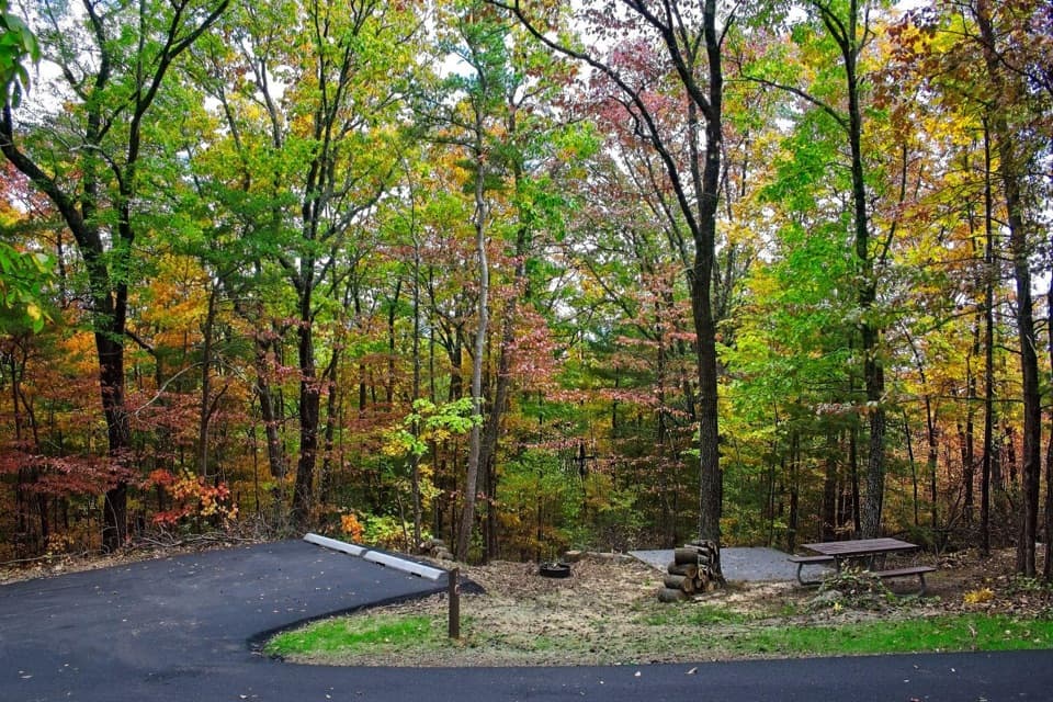
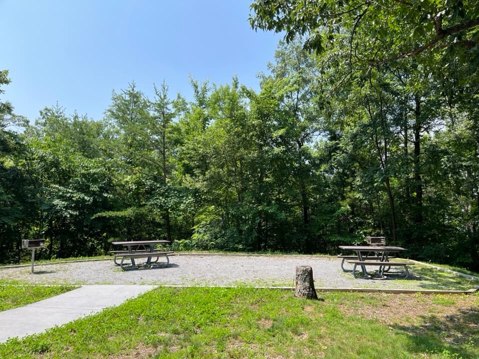
Flush toilets and potable water are seasonal. The campground has picnic tables, grills and fire rings, but no showers, hookups or camp store. Bring food and supplies before you arrive. Campfires stay in the supplied rings, and outside firewood must be certified heat-treated. The campground isn’t ADA accessible; the paved path to the restrooms has an incline.

The approach is unpaved, narrow and winding. The park allows RVs and trailers but advises against them; trailers are limited to 12 feet. Dogs can stay at camp on a leash up to six feet, but they can’t go on the connected backcountry trails. The campground closes seasonally, so check current dates before planning around it.

Trails leave from campCooper Road, Little Bottoms and Rabbit Creek trails connect with the campground area.

Cooper Road, Little Bottoms and Rabbit Creek trails connect with the campground area. The route toward Abrams Falls via Little Bottoms is a long hike, quite different from the shorter falls walk that starts in Cades Cove. Distance estimates for the campground route don’t agree, so check the current trail map before setting out.

The creek’s fish storyAbrams Creek has a complicated restoration history.

Abrams Creek has a complicated restoration history. In 1957, managers used rotenone to remove nearly all of its more than 30 native fish species as part of rainbow trout management; that same year, Chilhowee Reservoir flooded the lower two miles of stream. Together those changes sharply reduced fish diversity.

From 1986 to 2001, park biologists reintroduced four rare fish species. Smoky Madtom and Citico Darter have since established breeding populations in the creek, while Spotfin Chub hasn’t persisted. The park continues moving fish between Abrams and Citico creeks to help preserve genetic diversity.

Wildlife

Wildlife in Great Smoky Mountains

All Great Smoky Mountains wildlife maps

Sighting maps show where each species has been reported across Great Smoky Mountains. Wildlife moves, so no sighting is guaranteed.

Keep exploring

Near Abrams Creek Campground

See it all on the map

Trails nearby

More stops nearby

Parkwolf’s Great Smoky Mountains ranking

Top sights in Great Smoky Mountains

All 137 places
  1. 1Kuwohi Observation TowerSight
  2. 2Newfound Gap OverlookSight
  3. 3Cable Mill Historic AreaSight
  4. 4Mountain Farm MuseumSight
  5. 5John Oliver CabinSight
  6. 6Mingus MillSight

Take Parkwolf to Great Smoky Mountains.

The audio tour guide for the drive, plus offline maps, trails, and wildlife heatmaps for when the signal drops.

4.7 from 8,600+ ratings

Download Parkwolf on the App StoreGet Parkwolf on Google Play