Pros & cons
PROS
- A quiet, out-of-the-way base for the Abrams Creek area
- Campground with flush toilets and seasonal water is 0.5 miles away
CONS
- Often closed with no public-facing services
- Little to no cell service; on-site phone may not work
Overview
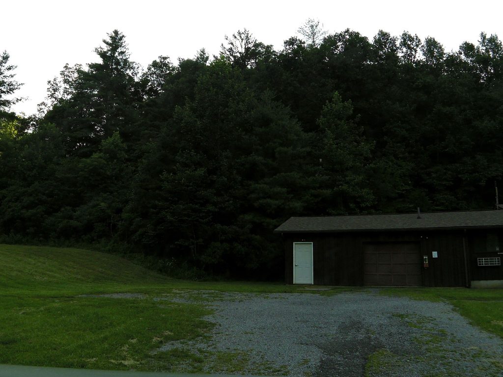
This is a small ranger outpost tucked along the Abrams Creek Campground Access Road on the park’s far western edge, about a half-mile before the campground. Think of it as a low-key operations point rather than a visitor hub. When it’s staffed, hours are limited; much of the time, you’ll find it closed and without public amenities.
What to Expect
Don’t plan on bathrooms, water, or retail here—use the campground’s flush toilets and seasonal potable water just up the road. There’s no camp store or firewood sales in this corner, and cell coverage is spotty to nonexistent. If you need maps, updates, or ranger contact, you’re better off sorting that before you drive in.
Why Stop Anyway
If you like the Smokies on “quiet mode,” this area delivers. The station sits at the gateway to a secluded creek valley that sees a fraction of the crowds you’ll find near the main visitor centers. It’s a handy landmark as you roll in to camp, fish, or wander the nearby creek corridors.
Abrams Creek’s Conservation Story
Abrams Creek once held the park’s highest fish diversity before mid-20th-century rotenone treatments and the Chilhowee Reservoir changed the system. Since the 1980s, biologists have been reestablishing rare fish like the Smoky and Yellowfin madtoms and the Citico darter here—one reason this watershed matters. If you’re peering into riffles, use polarized lenses, tread lightly on banks, and respect any closures protecting restoration sites.
Getting There
The approach is scenic but can feel tight—expect some narrow, single-lane stretches on the access road. Take it slow, especially with trailers.
Rules and Basics
- Pets: Allowed in the campground on leash; not on park trails in this area.
- Parking tags: Not needed while parked at your reserved campsite; required if you park elsewhere in the park for more than 15 minutes.
- Bears: Standard Smokies protocols—secure food and scented items, even on short walks.
Best Time to Visit
Weekdays and shoulder seasons tend to be the calmest. Morning and late-day light are best for creek photography, and cooler temps make lingering by the water more pleasant. Because the station is often closed, time your visit around your campground plans rather than expecting services here.
Nearby Backups
If you need a bit more infrastructure, Look Rock (in the same general area) offers flush toilets and seasonal water, plus a few hookup sites, but still no showers. Bring what you need; this side of the park is intentionally simple.
Where it is
35.6084, -83.9359Tips for Abrams Creek Ranger Station
- 01Plan to use the campground’s flush toilets and seasonal water nearby [recreation.gov](https://www.recreation.gov/camping/campgrounds/273847).
- 02Buy certified heat-treated firewood before you arrive; no sales here [recreation.gov](https://www.recreation.gov/camping/campgrounds/273847).
- 03Expect little to no cell service—make reservations and download maps in advance [nps.gov](https://www.nps.gov/grsm/planyourvisit/abrams-creek-campground.htm).
- 04Pets are allowed in the campground on a leash but not on park trails here [nps.gov](https://www.nps.gov/grsm/planyourvisit/abrams-creek-campground.htm).
- 05The approach road has narrow, single-lane sections—drive slowly and yield as needed [nps.gov](https://www.nps.gov/grsm/planyourvisit/upload/Abrams-Creek.pdf).
Amenities
Near Abrams Creek Ranger Station
All places →All trails →
0.2 mi awayLittle Bottoms TrailCreekside connector with solitude, roots, and splashy stream hopsModerate · 2.3 mi · 1.5 hr
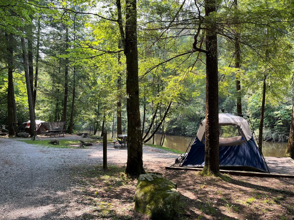
0.3 mi awayAbrams Creek CampgroundShaded creekside campground with basic comforts and great trail accessCampground · Restroom
1.4 mi awayScott GapQuiet backcountry gap with a reserved campsite and forest solitude
1.6 mi awayLook Rock Picnic AreaShaded Foothills Parkway picnic spot with grills and tower nearbyPicnic Table · Restroom
1.6 mi awayLook Rock OverlookShort paved walk to sweeping 360-degree Smokies viewsTrailhead · Parking
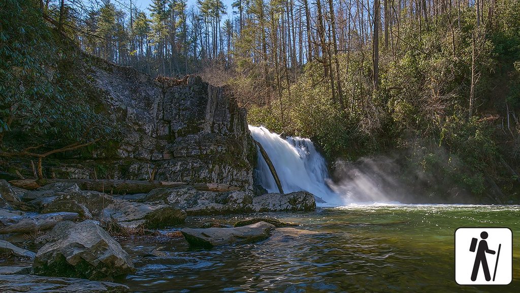
4.8 mi awayAbrams Falls TrailRolling creekside hike to the park’s most voluminous waterfallModerate · 5 mi · 3 hr
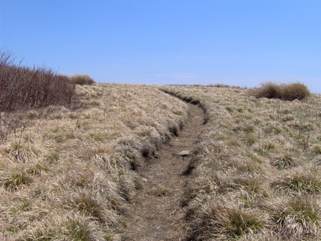
5.1 mi awayGregory Bald TrailShorter, steeper path to azalea-famous summit meadow viewsChallenging · 9 mi · 5.5 hr
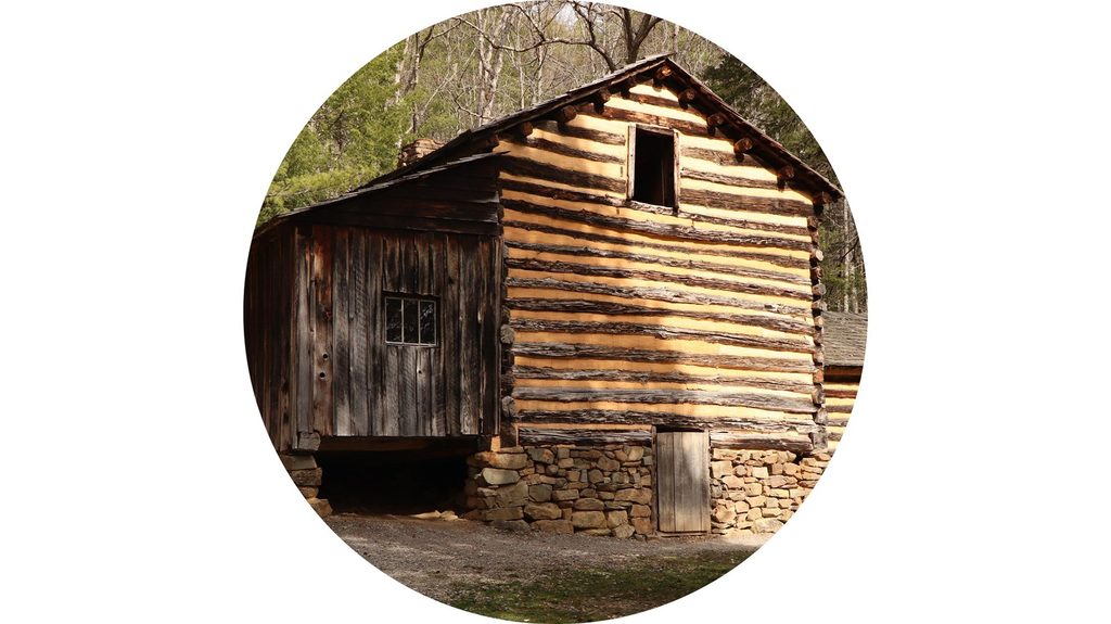
5.2 mi awayElijah Oliver Cabin Access TrailEasy stroll to a historic dogtrot homestead in quiet Cades CoveEasy · 1.1 mi · 36 min