Pros & cons
PROS
- Well-preserved farm outbuildings and rock walls tell a vivid homestead story
- Quiet, off-the-beaten-path stop along the Old Settlers Trail
CONS
- No services on-site and access requires a hike or walk-in
- Route can involve unbridged creek crossings after heavy rain
Overview
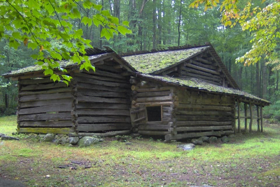
A tucked-away historic homestead along Webb Creek, Tyson McCarter Place is one of the Smokies’ most evocative farm sites. The house is gone, but the outbuildings and stonework remain, offering a clear window into late-19th-century mountain life. It’s listed on the National Register of Historic Places and feels far removed from the park’s busy loops—more history hike than roadside stop.
What You’ll See
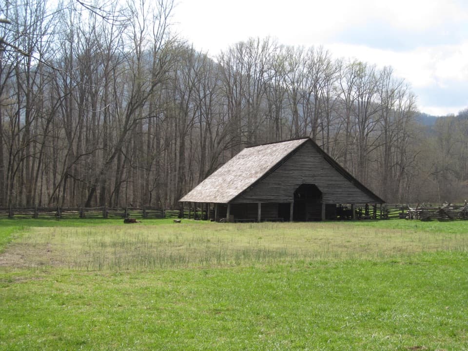
- Barn and corn crib: an unusual adjoined setup (typically separate on other farms) with a drive-through, double-pen log barn and lean-to crib.
- Smokehouse: compact, dovetail-notched log building once used to cure meat.
- Springhouse: a small log structure with a stone trough channeling cold spring water to keep perishables cool.
- House site: two chimney falls and foundation remnants mark where the home stood.
- Rock walls: well-built, hand-stacked fences still lace the clearings and trail edge.
Getting There
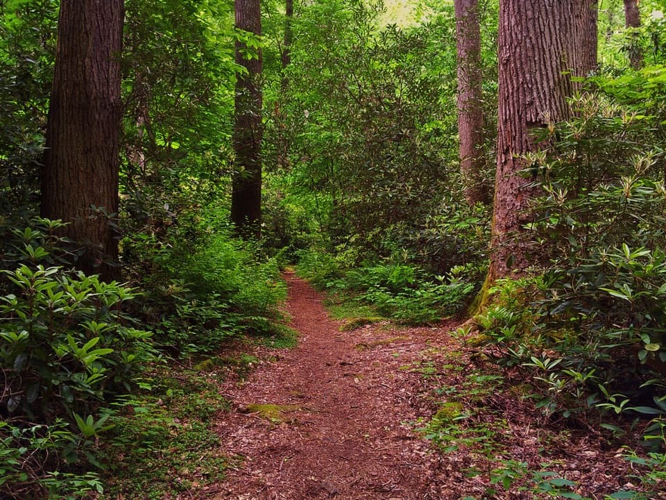
The Old Settlers Trail (15.8 miles point-to-point) passes directly through the homestead. The site sits about 3.2 miles west of the Old Settlers junction with the Maddron Bald Trail. There’s also an unmarked, roughly 0.5-mile gravel maintenance road from US 321 near the Rocky Grove community; it’s usually gated to vehicles but open to foot traffic, making for a short, easy approach if you locate it. Expect dense hardwood forest with small clearings where the buildings and ruins sit.
Trail Notes & Conditions
The Old Settlers Trail is a strenuous route overall, with substantial cumulative elevation gain and multiple creek crossings. Some crossings lack footbridges and shouldn’t be attempted if water is up after heavy rain. Backcountry Campsite #33 lies near the trail’s midpoint for those planning longer days.
Why It’s Special
Beyond the solitude, the farmstead’s circular arrangement of buildings around an open barnyard is a rare layout likely meant to protect livestock. Combined with the unusual barn-and-crib pairing, it’s a standout snapshot of how families adapted to the Smokies’ terrain and wildlife.
Wildlife
This is black bear country. Sightings do happen along the Old Settlers corridor—give wildlife space, keep food secured, and stay alert around creeks and dense vegetation.
Best Time to Visit
Pick dry-weather days—especially after rain has moved out—to keep creek crossings reasonable. Weekday mornings are reliably quiet. Soft morning or late-afternoon light works well for photographing the log textures, stone walls, and forest clearings.
Where it is
35.7604, -83.3024Tips for Tyson McCarter Place
- 01Carry in/out—there’s no water, toilets, or trash service at the site.
- 02After heavy rain, don’t attempt unbridged creek crossings; turn back if levels are high.
- 03Download the official park road and trail GeoPDFs before you lose signal [nps.gov](https://www.nps.gov/grsm/planyourvisit/maps.htm).
- 04Keep the full GSMNP trail map handy for the Old Settlers corridor [nps.gov](https://www.nps.gov/grsm/planyourvisit/upload/GSMNP-Trail-Map_508-2.pdf).
- 05Check current park-wide closures/conditions on the official map resources [nps.gov](https://www.nps.gov/grsm/planyourvisit/upload/grsmmap_2024_reduced_508.pdf).
Near Tyson McCarter Place
All places →All trails →
1.7 mi awayAlbright Grove Loop TrailA quiet, big-tree ramble in rare old-growth cove hardwoods.Moderate · 6.7 mi · 4 hr
1.7 mi awayMaddron Bald TrailOld-growth glory to a heath bald with solitude and creek dramaChallenging · 14.3 mi · 7.8 hr
1.8 mi awayBaxter CabinShort walk to an 1889 chestnut-log homestead
2.1 mi awayAlbright GroveQuiet old-growth cove with giant tuliptrees and hemlocks
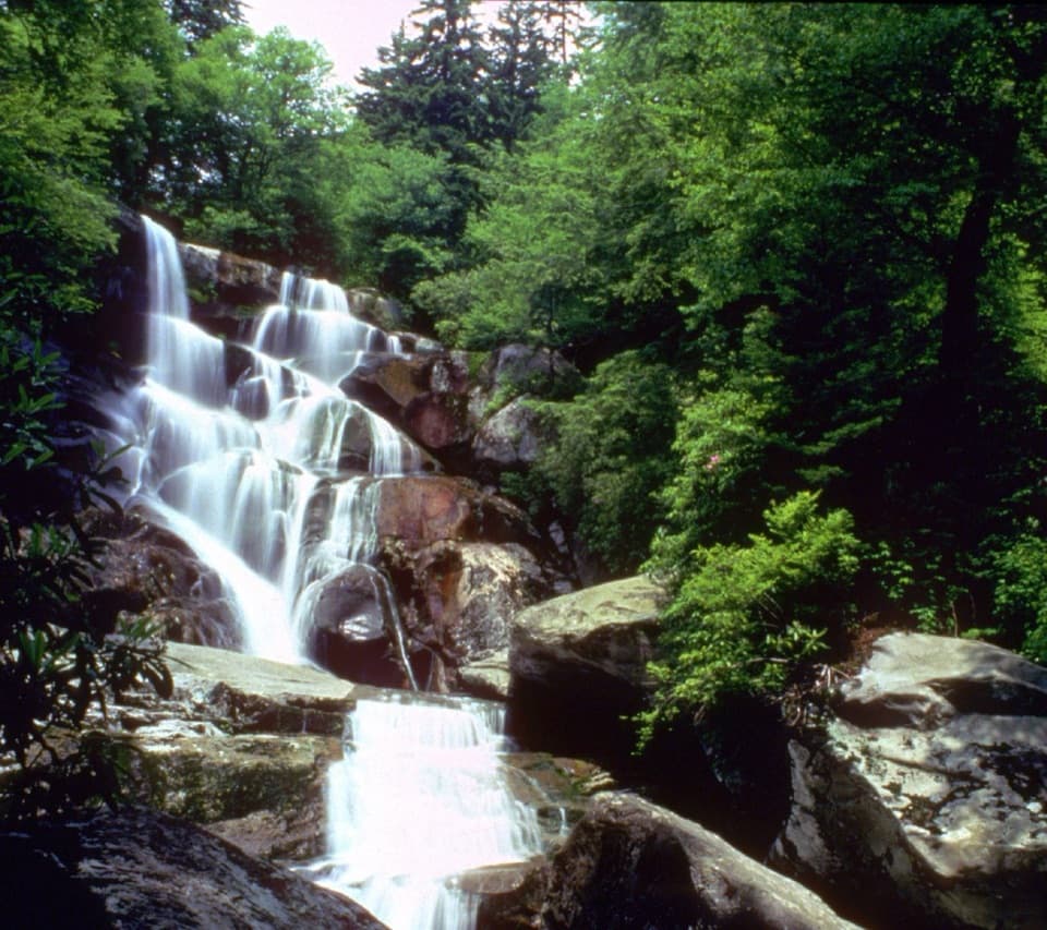
3.6 mi awayRamsey CascadesTallest waterfall here via a tough, beautiful creekside hikeTrailhead · Parking
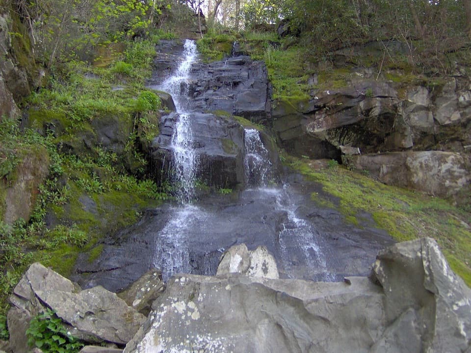
3.6 mi awayHen Wallow FallsLess-crowded, 90‑foot fan waterfall down a moderate forest hikeTrailhead · Parking
5.1 mi awayRamsey Cascades TrailSteep, rugged climb to the park's tallest accessible waterfallChallenging · 8 mi · 5 hr
5.2 mi awaySnake Den Ridge TrailBig, steady climb from Cosby to the AT with history and solitude.Challenging · 10.6 mi · 6.7 hr