Hen Wallow Falls

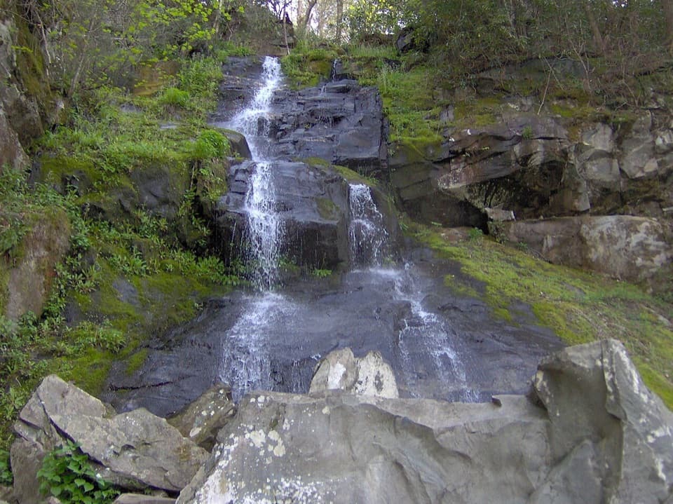
Less-crowded, 90‑foot fan waterfall down a moderate forest hike
Hen Wallow Falls, Great Smoky Mountains National Park
InsideGreat Smoky Mountains National Park

Overview

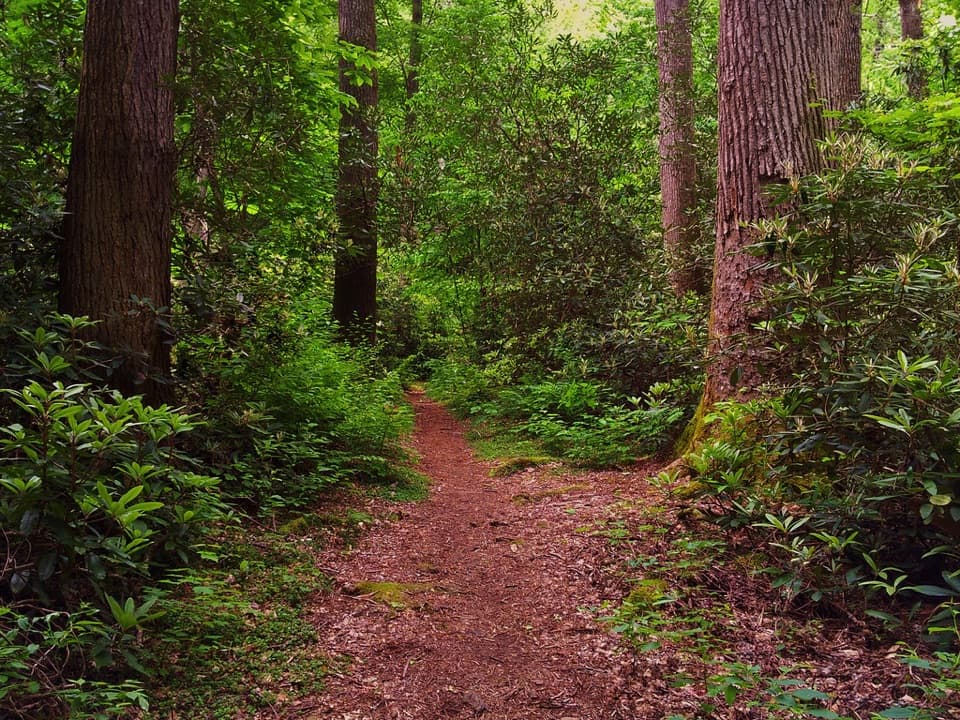
Hen Wallow Falls is a graceful 90‑foot horsetail that’s only about two feet wide at the top and spreads to 20–30 feet at its base depending on flow. It’s a quieter waterfall outing, trading the Gatlinburg crowds for a lush, Cosby‑area forest of rhododendron, hemlock, and mixed hardwoods.

The Hike

  • Route: Gabes Mountain Trail to a short signed spur to the falls (out‑and‑back)
  • Distance/Gain/Time: ~4.3–4.5 miles round trip, about 900 feet of gain, allow 3–4 hours
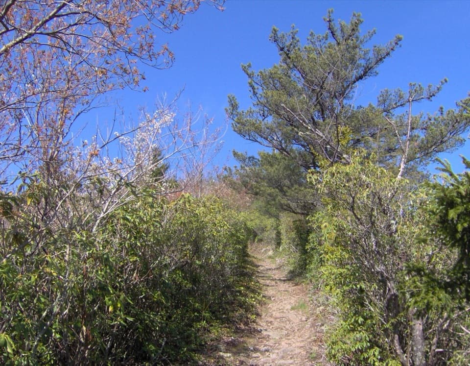
  • Trail character: Expect roots, rocks, and some switchbacks. Log bridges and stones ease most creek crossings. The final 0.1 mile down to the base is steep and can be slick—save gas for the climb back up.

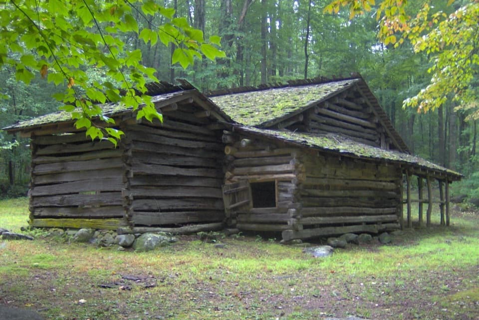
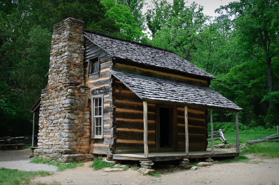
Along the way you’ll pass the Cosby Campground side path (~0.4 mi), reach Messer Gap around the mid‑miles, and spot remnants of old homesteads, including a stone wall. A faint path in that area is associated locally with the gravesite of Molly Sutton. Near the falls, there’s a small cave tucked in the ridge to the right—view only.

What Makes It Special

At high flow the sheet of water fans out beautifully over the rock face, and the plunge pool often shelters salamanders—one of the Smokies’ signature wildlife sightings. If you continue beyond the falls on Gabes Mountain Trail, you’ll enter impressive old‑growth forest that most visitors never see.

Wildlife

Black bears are active in the Gabes Mountain corridor. Give wildlife space, secure food, and know how to respond if you encounter a bear. Closer to the water, look for salamanders in the pool and along damp rocks.

Best Time to Visit

  • After rain: The falls are most photogenic following wet weather.
  • Winter: Cold snaps can create striking ice formations.
  • Light and crowds: Aim for morning or late afternoon for softer light; midday sun can be harsh for photos. Weekdays and early starts keep this already‑quieter trail even calmer.

Getting There & Parking

Park at the hiker lot by the Cosby Picnic Area near the entrance to Cosby Campground. From Gatlinburg, turn at Light #3 onto 321/73 and drive about 18.1–18.2 miles to Hwy 32; turn right toward Cosby for 1.2 miles to the park entrance, then right and continue ~2 miles to the picnic area. The signed Gabes Mountain Trailhead is a short walk away. A park parking tag is required.

Facilities & Practicalities

Use restrooms at the Cosby Picnic Area before you start (availability can be seasonal). You may catch a cell signal at the falls, but don’t count on it. Dogs are not allowed on this trail.

Safety & Trail Tips

Rocks near waterfalls are extremely slippery—don’t climb or scramble on them. Wear grippy footwear; trekking poles help with the rooty tread and the steep spur. Make sure you have enough daylight for the return.

Pros

  • Less crowded than many Smokies waterfall hikes
  • Distinctive 90‑foot fan cascade with salamanders in the pool

Cons

  • Rugged, rooty footing with a steep final 0.1‑mile spur
  • Flow can be modest in dry spells; rocks are extremely slick

Tips

  • Park at the Cosby Picnic Area hiker lot and display your parking tag.
  • Budget 3–4 hours; the last 0.1 mile to the base is steep.
  • Trekking poles and grippy boots help on roots and rocks.
  • Go after a good rain or in winter for ice; avoid midday for photos.
  • No dogs are allowed; be bear‑aware and keep food sealed.
The Parkwolf tour guide sitting on a phone mounted in a car

Parkwolf Tour Guide

Like a tour guide in your car.

Save the places you found around Great Smoky Mountains, then let Parkwolf guide the drive between them.Download Parkwolf on the App Store