Parking
From US-321, take Baxter Road about half a mile to the signed Maddron Bald Trailhead. Parking is limited. A Great Smoky Mountains parking tag is required when your car stays longer than 15 minutes.

Great Smoky Mountains National Park, TN · NC
A long climb from old growth to a brushy high bald.
Overview
Maddron Bald Trail is a 7.2-mile point-to-point hike from the signed Baxter Road trailhead to the Snake Den Ridge Trail junction. It climbs through forest and creek hollows to a high heath bald, then ends at a trail junction rather than a road. Allow about six to seven hours one way. If you leave a car at Baxter Road, hiking to the end and back makes this a 14.4-mile, full-day outing.
 Parkwolf’s verdictIs this the hike for you?
Map & elevation
Plan your hike

The highest, rockiest slopes around here are a summer buffet for grizzly bears.
Great Smoky Mountains Tour Guide
Parkwolf is a GPS audio tour guide for Great Smoky Mountains National Park. As you drive, it chimes in with what’s ahead: hidden gems, upcoming stops, history, geology, and wildlife, right through your car’s speakers.
See the Great Smoky Mountains audio tourMore stories near here in the app
“Fantastic app with many points of information… It’s great to just turn on while you’re driving and it gives you an audio tour of the national Park. We love it!!!!”


Trail guide
The trailhead is on Baxter Road, about half a mile from US-321, and parking is limited. A park parking tag is required if you leave your car for more than 15 minutes. Dogs aren't allowed on this trail; service animals are permitted. If you mainly want the old-growth grove, the shorter Albright Grove outing follows Maddron Bald Trail for about 2.9 miles, then takes the 0.7-mile loop and returns to the trailhead for a 6.5-mile trip.
The first couple of miles follow a broad gravel track through the woods. About 0.7 mile in, look for Willis Baxter Cabin just off the trail. It was built around 1889 from one chestnut tree as a wedding gift for Baxter's son. At roughly 1.2 miles, Maddron Bald meets Gabes Mountain and Old Settlers trails; the family cemetery of Lawson Maddron, the minister whose name the trail and bald carry, is nearby. Around 2.9 miles in, the Albright Grove loop visits a patch of old-growth forest, with huge buttressed trunks, tulip poplars, and Fraser magnolias. The grove is named for Horace Albright, the second director of the National Park Service.
Keep going past the grove and the trail narrows and climbs for about four more miles toward Snake Den Ridge. Several creek crossings are unbridged and usually mean picking your way over rocks; high water after heavy rain can make them much harder. The climb steepens after the upper campsite, then winds through thick rhododendron before the shorter heath growth opens up.
Maddron Bald is a long, brushy summit heath, not a wide grassy clearing. The shrubs leave only scattered rocky openings, but from them you can look toward Mount Guyot, Old Black, and Inadu Knob. For a photo, include the narrow path with spruce and heath around it; that shows what this bald is actually like better than a frame of distant ridges alone.
Wildlife
 1,569 sightingsBlack BearMost seen around 7 PMSighting map
 900 sightingsElkMost seen around 7 AMSighting map
 13 sightingsBald EagleMost seen around 9 AMSighting map
 142 sightingsTimber RattlesnakeMost seen around 6 PMSighting map
 26 sightingsBobcatMost seen around 8 PMSighting map
 42 sightingsRiver OtterMost seen around 7 AMSighting map
Sighting maps show where each species has been reported across Great Smoky Mountains. Wildlife moves, so no sighting is guaranteed.
Keep exploring
 ModerateAlbright Grove Loop Trail6.7 mi · 4.5 hr · At the trailheadOld-growth trees reward the long approach to Albright Grove.
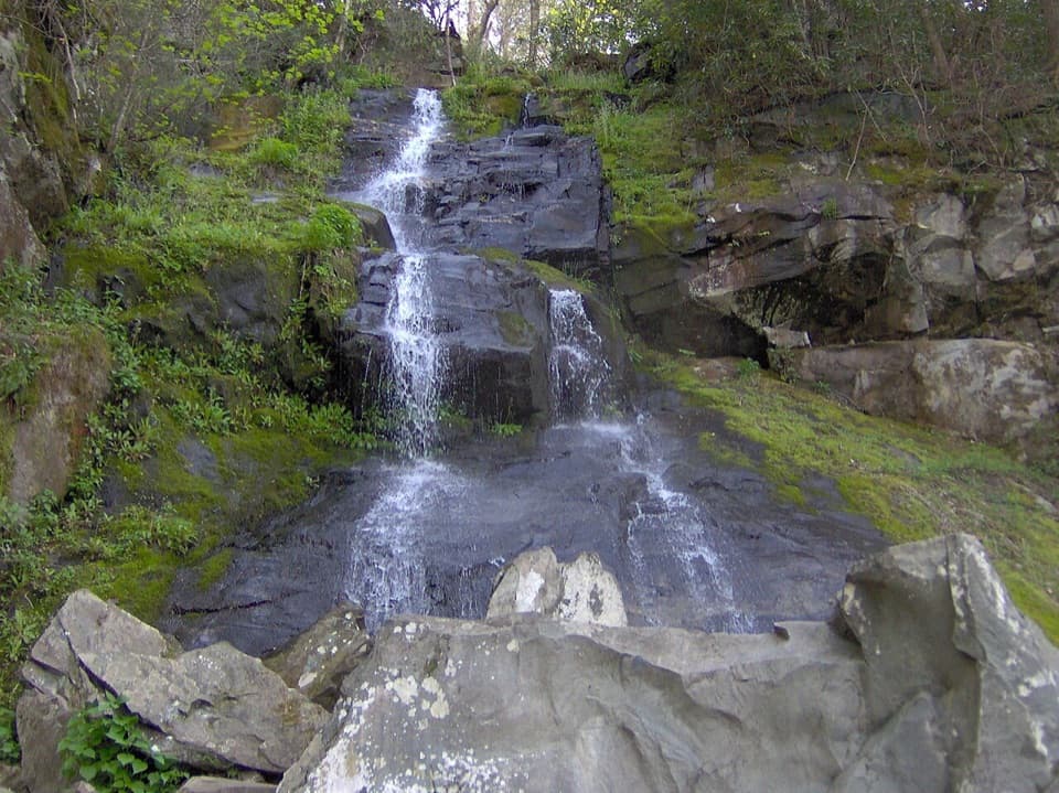 ModerateGabes Mountain Trail to Hen Wallow Falls4.3 mi · 3.5 hr · 3.3 mi awayA rooty 4.3-mile out-and-back ends at a steep 90-foot waterfall.
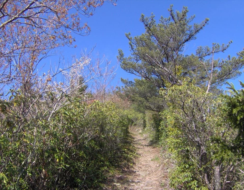 ChallengingSnake Den Ridge Trail10.6 mi · 8 hr · 3.4 mi awayA steep 10.6-mile out-and-back to the Appalachian Trail.
 ChallengingMount Cammerer Trail11.1 mi · 7 hr · 3.4 mi awayA steep climb to a historic tower above the Smokies.
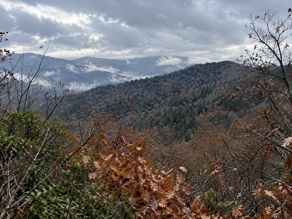 ModerateSutton Ridge Overlook Trail3.5 mi · 2 hr · 3.4 mi awayA short, steep spur reaches a north-facing view over Riding Fork.
 ChallengingLow Gap Trail5.4 mi · 5 hr · 3.4 mi awayCreek crossings and a steep climb to the remote Walnut Bottom junction.ChallengingLow Gap, Appalachian Trail and Snake Den Ridge Loop Trail13.1 mi · 9 hr · 3.4 mi awayA full-day loop links Low Gap, the AT, and Snake Den Ridge.
 EasyCosby Nature Trail1.3 mi · 45 min · 3.6 mi awayA wooded creek loop with log bridges and rocky crossings.Sight · 1.7 mi awayHen Wallow FallsA 90-foot cascade makes the rooted climb worthwhile.
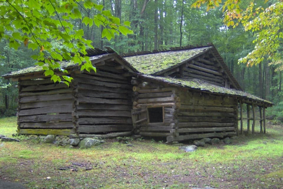 Sight · 2.1 mi awayTyson McCarter PlaceThe farmyard’s unusual layout rewards a long trail detour.
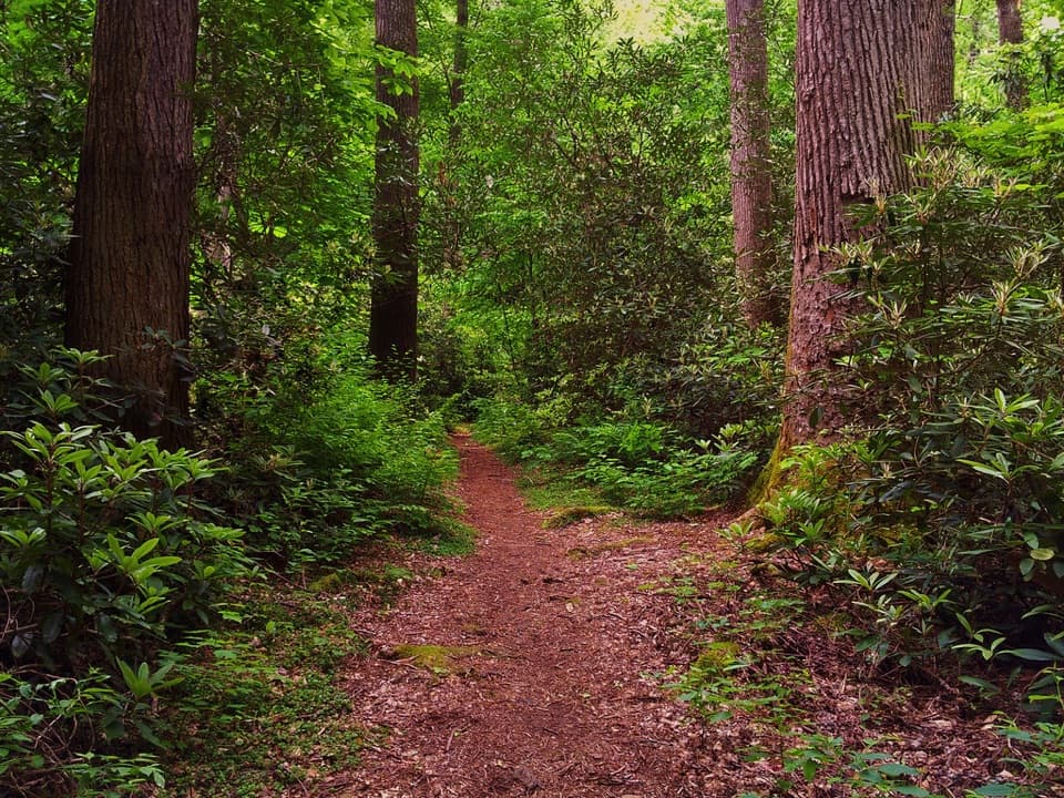 Sight · 2.3 mi awayAlbright GroveA long hike through one of the Smokies’ finest old-growth forests.
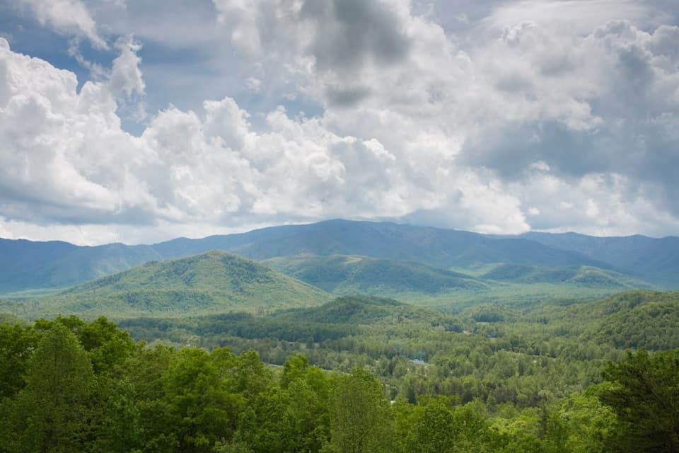 Scenic pullout · 3.2 mi awayCosby OverlookA short pullout with a southwest view over Cosby Valley.
 Picnic area · 3.4 mi awayCosby Picnic AreaA shady 35-site picnic stop beside Cosby Creek
 Campground · 3.5 mi awayCosby CampgroundA shady, tent-heavy base with hiking routes nearby.
 Scenic pullout · 3.8 mi awayGreen Mountain OverlookA southeast-facing view worth timing for sunrise.
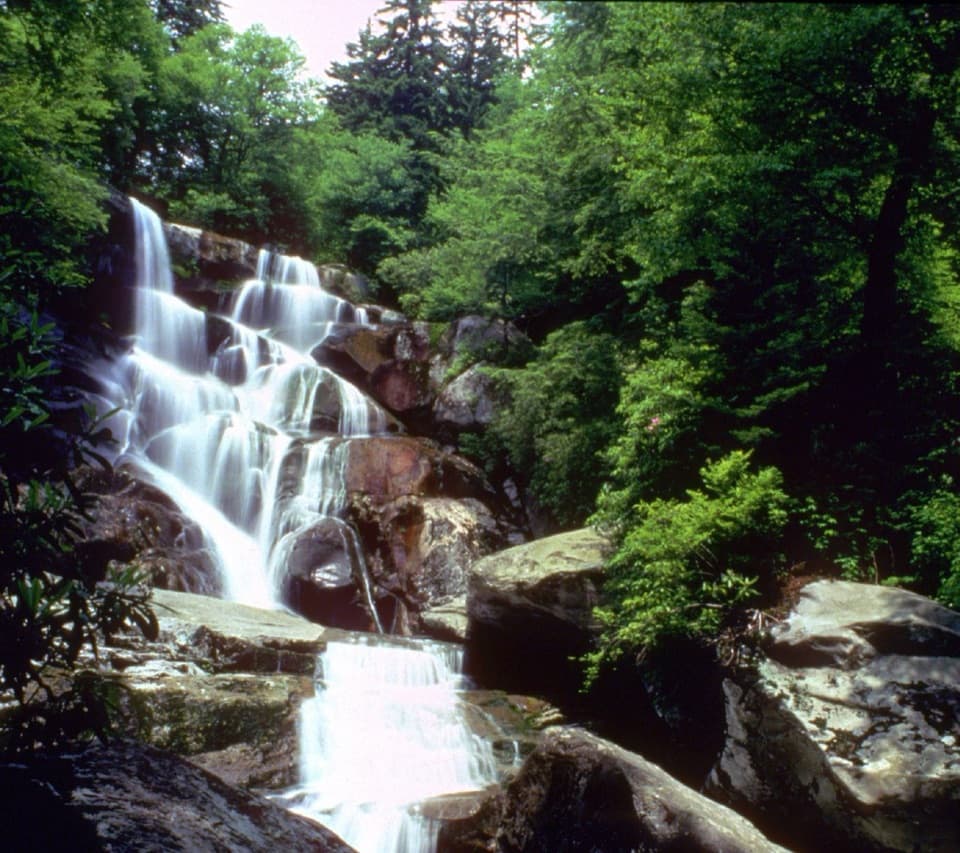 Sight · 4.6 mi awayRamsey CascadesA 105-foot payoff after four miles of climbing each way.
Parkwolf’s Great Smoky Mountains ranking
The audio tour guide for the drive, plus offline maps, trails, and wildlife heatmaps for when the signal drops.




