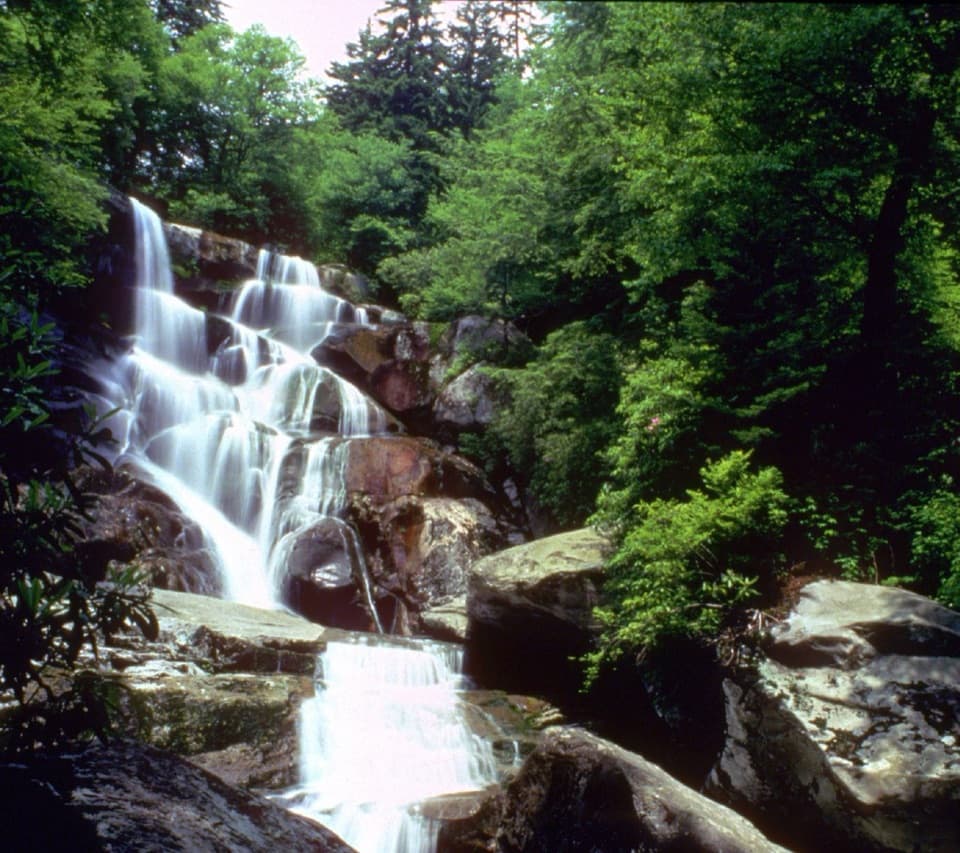
Ramsey Cascades

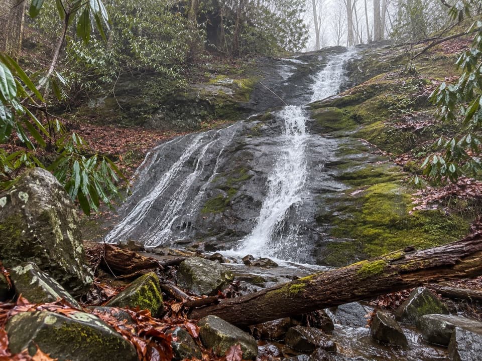
Tallest waterfall here via a tough, beautiful creekside hike
Ramsey Cascades, Great Smoky Mountains National Park
InsideGreat Smoky Mountains National Park

Overview

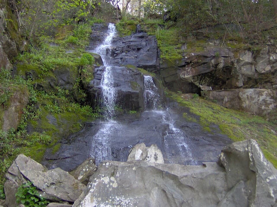
Ramsey Cascades is the park’s tallest waterfall and one of its classic payoff hikes. Officially 8 miles round trip with more than 2,000 feet of climbing, it’s a workout—expect 4.5–7 hours depending on pace and breaks. Many hikers record closer to 9–10 miles on GPS, but the official number is 8.

What You’ll See

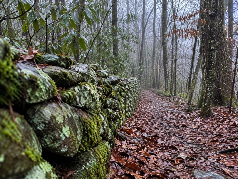
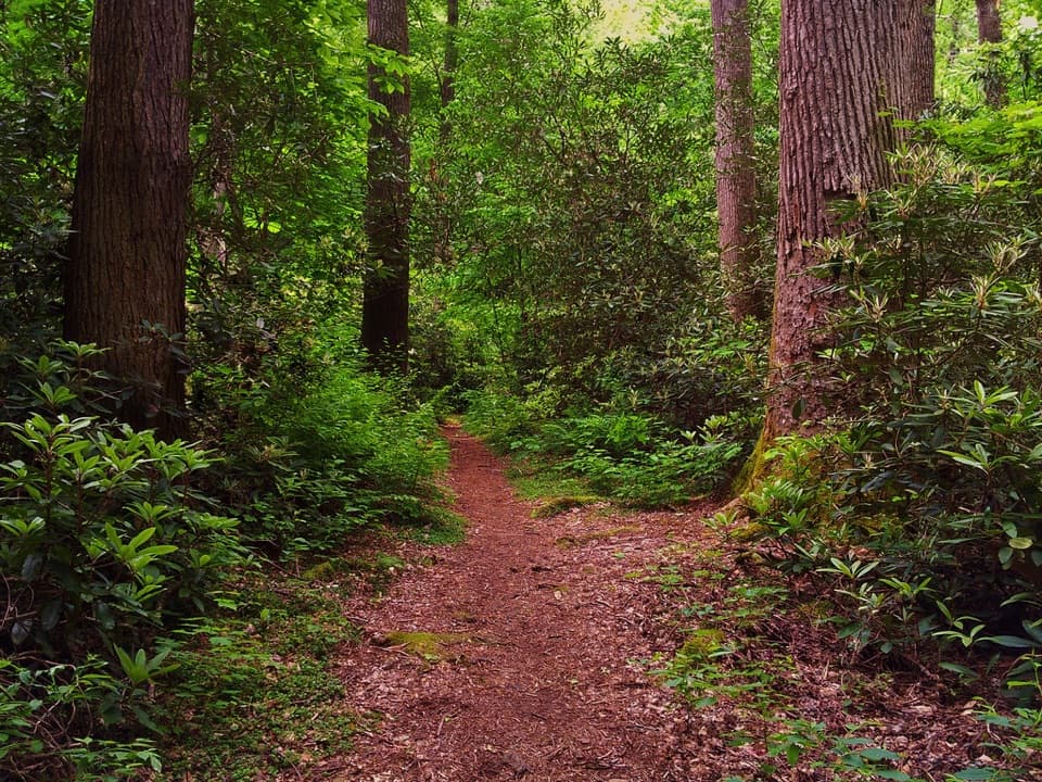
This route follows Ramsey Prong almost the whole way: cascades, pools, and the kind of mossy creek scenes you came to the Smokies for. You’ll pass through one of the park’s finest remaining old-growth cove hardwood forests—massive tuliptrees, hemlocks, maples, oaks and birches. At the base of the falls, look for salamanders in the pool. The creek drains Mount Guyot, the park’s second-highest peak, so the water is clear and cold.

Trail Breakdown

  • First 1.5 miles: a gentle grade on an old roadbed beside the creek.
  • Middle section: narrows to singletrack with several footlog bridges (one long and narrow) and brief spots of sidehill exposure.
  • Final 0.5–1 mile: steep, rocky and rooty with big stone steps and boulders—take your time, especially on the descent.

A multi-year restoration (completed in 2024) added two new footlog bridges, new decking and rails on an older bridge, 600+ stone steps, and extensive drainage to stabilize the trail while keeping a natural feel.

Getting There & Logistics

The trailhead sits in the Greenbrier section, off a narrow gravel/dirt road for the last few miles. It’s passable in a regular car if you go slow, but the potholes make it a crawl. Parking is limited and fills by late morning. A park parking tag is required.

There are no restrooms or treated water at the trailhead—plan ahead and bring what you need.

Safety

Do not climb on or above the waterfall—rocks are slick and fatalities have occurred. Trekking poles help on bridges and the rocky final stretch. Summer can bring hornets’ nests and heat (carry extra water); winter and shoulder seasons can mean icy rocks and colder temps at the falls—pack layers. After heavy rain, parts of the trail can run with water. Bear and deer sightings are possible; enjoy wildlife from a distance. Do not drink untreated stream water—filter or treat if you must refill.

Best Time to Visit

Start early. You’ll snag a parking spot, see fewer people at the falls, and beat typical afternoon storms in warm months. It’s cooler at the cascade itself, so bring a light layer if you plan to linger. Shoulder seasons often feel quieter; in winter, expect ice on rocks and bridges.

What to Bring

Sturdy hiking boots, trekking poles, 2–3 liters of water per person, salty snacks or lunch, a rain shell, a warm layer for the falls, a small first-aid kit, headlamp, and a map/GPS. The final mile is rugged—good footwear and poles make it far more pleasant.

Bottom Line

If you’re up for a sustained climb and uneven footing, Ramsey Cascades delivers one of the Smokies’ best waterfall finales, wrapped in superb old-growth forest and nonstop creek soundtrack. Hard? Yes. Worth it? Absolutely.

Pros

  • Tallest waterfall in the park (about 105 ft)
  • Gorgeous old-growth forest and constant creek scenery with footlog bridges
  • Recently restored trail with added stone steps and improved tread

Cons

  • Strenuous 8-mile round trip with 2,000+ ft of gain and a steep, rocky final mile
  • Limited parking and a narrow gravel access road with potholes
  • No restrooms or treated water at the trailhead

Tips

  • Start before 9 am to get parking and enjoy quieter falls time.
  • Bring 2–3 liters of water, snacks or lunch, and a rain layer.
  • Trekking poles and real hiking boots make the steep final mile safer.
  • Use restrooms before entering Greenbrier; there are none at the trailhead.
  • Pack a light layer—the air at the falls is noticeably cooler.
The Parkwolf tour guide sitting on a phone mounted in a car

Parkwolf Tour Guide

Like a tour guide in your car.

Save the places you found around Great Smoky Mountains, then let Parkwolf guide the drive between them.Download Parkwolf on the App Store