
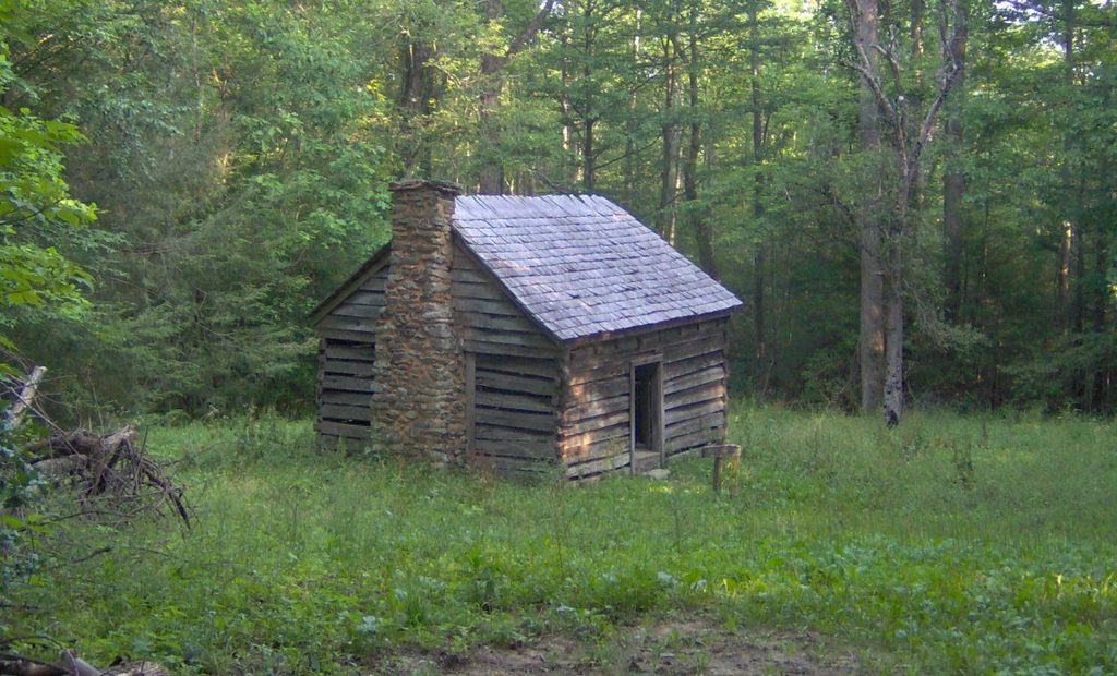
Place · 0.7 mi away
Moderate
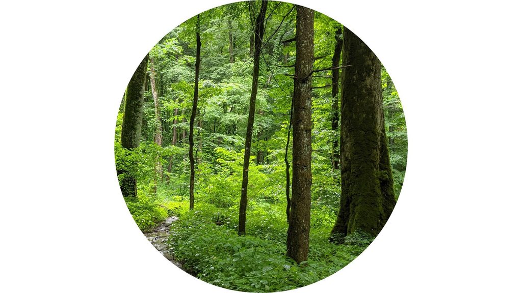
This is a forest-lover’s hike: a 6.7-mile total, moderate outing that reaches the Albright Grove via the Maddron Bald Trail, then loops through a pocket of rare old-growth cove hardwoods before returning the way you came. Expect about 1,450–1,475 feet of gain and 3.5–5 hours on trail. The loop itself is short (about 0.65–0.7 miles), but the approach adds miles and delivers a welcome sense of solitude.
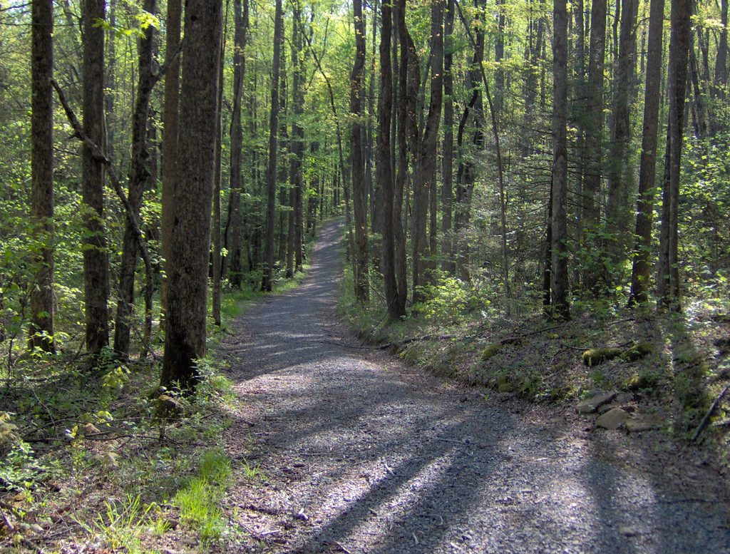
From the Maddron Bald Trailhead, an old gravel road climbs gently. At 0.7 miles you’ll pass the 1889 Baxter Cabin, famously built from a single American chestnut—worth a short linger. Around 1.2 miles, ignore side junctions and stay on Maddron Bald. The path narrows to dirt near 2.3 miles and enters older forest. Cross Indian Camp Creek at about 2.8 miles, then reach the lower junction with the Albright Grove Loop near 2.9 miles; turn right to begin the semi-loop. Near the loop’s high point, watch for a short spur to a massive tulip poplar—roughly 135 feet tall with a circumference over 25 feet—before the loop descends to meet Maddron Bald again.
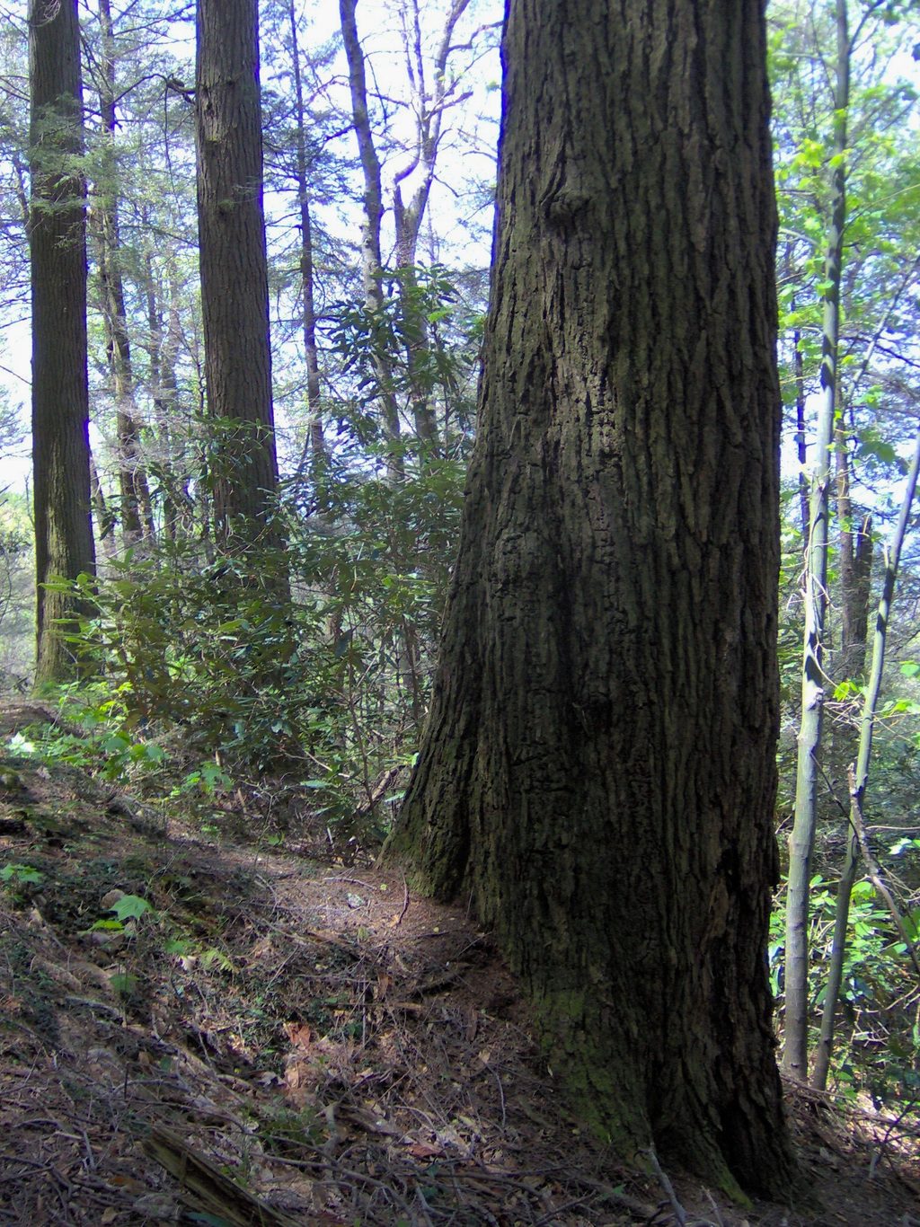
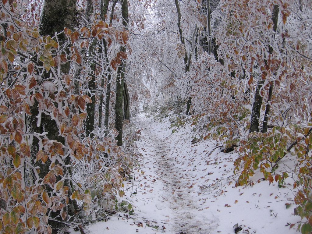
Albright Grove is a standout remnant of ancient cove hardwood forest. Look for towering tulip poplars and eastern hemlocks alongside Fraser magnolia, sugar maple, silverbell, basswood, beech, and yellow birch. The approach also carries echoes of the area’s past: a 1930s-era CCC route, old stone walls from former homesteads, and the Baxter Cabin. Indian Camp Creek adds a cool, shaded interlude and a chance to spot trout in clear pools.
This corner of the park is usually quiet, especially compared to the busy river valleys. The first miles are serviceable but not thrilling (gravel road), while the grove’s last quarter-mile is often the most scenic. Underfoot you’ll find roots, rocks, and occasionally mud after rain. Some sections can be overgrown, and signage within the loop is limited but the tread is generally obvious.
Start early: limited parking fills, and the full route plus photo stops can push the day. Aim for dry conditions—creekside rocks and roots get slick, and the trail muddies after rain. Weekdays are reliably quieter. The dense canopy keeps things shaded for mid-day photography; softer light early and late shows off the grove’s size and texture.
Small lot at the Maddron Bald Trailhead off Baxter Road from US-321; arrive early and display the required park parking tag.
Unbridged Indian Camp Creek crossing can be slick; maintain at least 150 feet from wildlife and consider carrying bear spray; limited signage inside the loop and a small, often full lot.
Place · 0.7 mi away
Place · 1.3 mi away
Place · 1.7 mi away
Place · 2 mi away
Challenging · 0 mi away
Challenging · 3.5 mi away
Moderate · 3.6 mi away
Challenging · 3.6 mi away

Parkwolf Tour Guide
