Parking
Use the roadside pull-off at Bote Mountain Trailhead on Laurel Creek Road, across from Schoolhouse Gap Trail. A parking tag is required for a stay longer than 15 minutes.
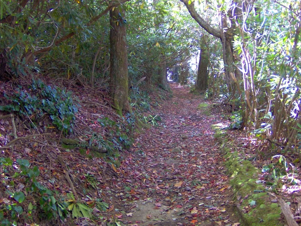
Great Smoky Mountains National Park, TN · NC
A rocky 13.7-mile out-and-back to Spence Field’s high meadow.
Overview
Map & elevation
Plan your hike

The highest, rockiest slopes around here are a summer buffet for grizzly bears.
Great Smoky Mountains Tour Guide
Parkwolf is a GPS audio tour guide for Great Smoky Mountains National Park. As you drive, it chimes in with what’s ahead: hidden gems, upcoming stops, history, geology, and wildlife, right through your car’s speakers.
See the Great Smoky Mountains audio tourRecorded for this trailhead
Schoolhouse Gap Trailhead“Up ahead is Schoolhouse Gap trailhead, my pick here for a mostly gentle forest walk beside Spence Branch.”
Plays as you drive up to this trailhead in the Parkwolf Great Smoky Mountains Tour Guide.
More stories near here in the app
“Fantastic app with many points of information… It’s great to just turn on while you’re driving and it gives you an audio tour of the national Park. We love it!!!!”


Trail guide
Bote Mountain Trail is a 13.7-mile out-and-back from Laurel Creek Road to the Appalachian Trail near Spence Field. It climbs roughly 3,500 feet through forest and rocky tread to a high grassy bald at about 4,920 feet. Allow about eight hours; this is a hard, all-day hike, not a short walk to an overlook.
The outbound leg climbs for nearly seven miles, with rocky sections that slow the pace. Most of the route is wooded; in winter, leaf drop opens east- and west-facing views along the Bote Mountain ridgeline. Bring enough time for the same long descent on the way back.
At the upper end, Bote Mountain meets the Appalachian Trail near Spence Field, an open grassy meadow high on the ridge. A shelter is nearby on the Appalachian Trail. Continuing toward Thunderhead Mountain or Rocky Top is a separate extension and adds mileage beyond this out-and-back.
The 6.9-mile Finley Cane–Bote Mountain–Lead Cove loop uses only 2.4 miles of Bote Mountain Trail and returns to Laurel Creek Road. It offers a shorter taste of the ridge but does not reach Spence Field.
The trail begins at the roadside Bote Mountain Trailhead on Laurel Creek Road, across from Schoolhouse Gap Trail. A parking tag is required for a stay longer than 15 minutes, and pets are not allowed on this trail.
Wildlife
 1,569 sightingsBlack BearMost seen around 7 PMSighting map
 900 sightingsElkMost seen around 7 AMSighting map
 13 sightingsBald EagleMost seen around 9 AMSighting map
 142 sightingsTimber RattlesnakeMost seen around 6 PMSighting map
 26 sightingsBobcatMost seen around 8 PMSighting map
 42 sightingsRiver OtterMost seen around 7 AMSighting map
Sighting maps show where each species has been reported across Great Smoky Mountains. Wildlife moves, so no sighting is guaranteed.
Keep exploring
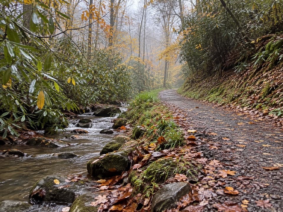 EasySchoolhouse Gap Trail4.4 mi · 1.8 hr · 0.1 mi awayA creekside roadbed to Schoolhouse Gap, with spring wildflowers.
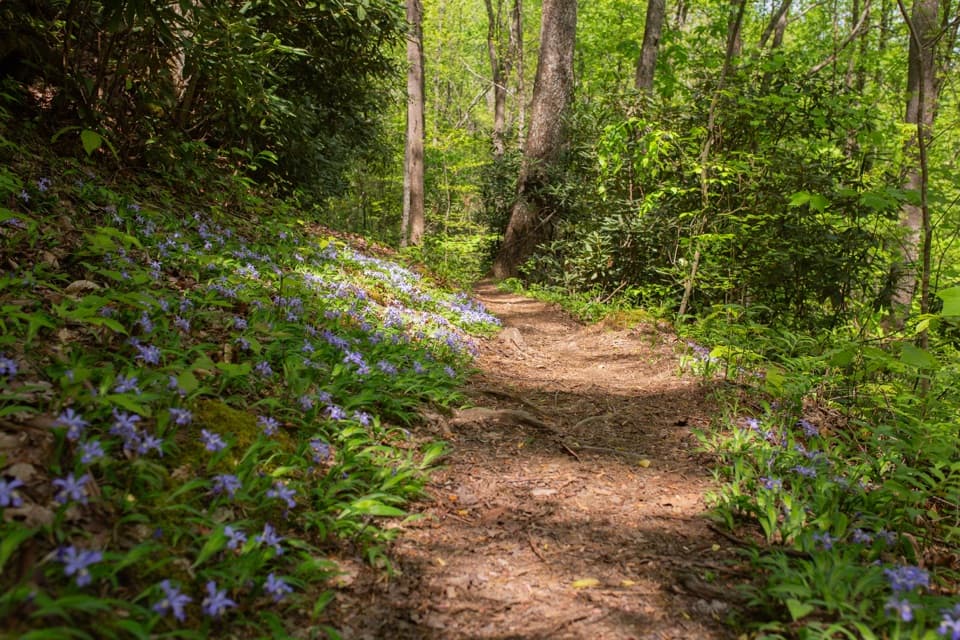 ModerateFinley Cane, Bote Mountain and Lead Cove Loop6.9 mi · 4 hr · 1.8 mi awayA rhododendron tunnel leads to a rocky ridge with valley views.
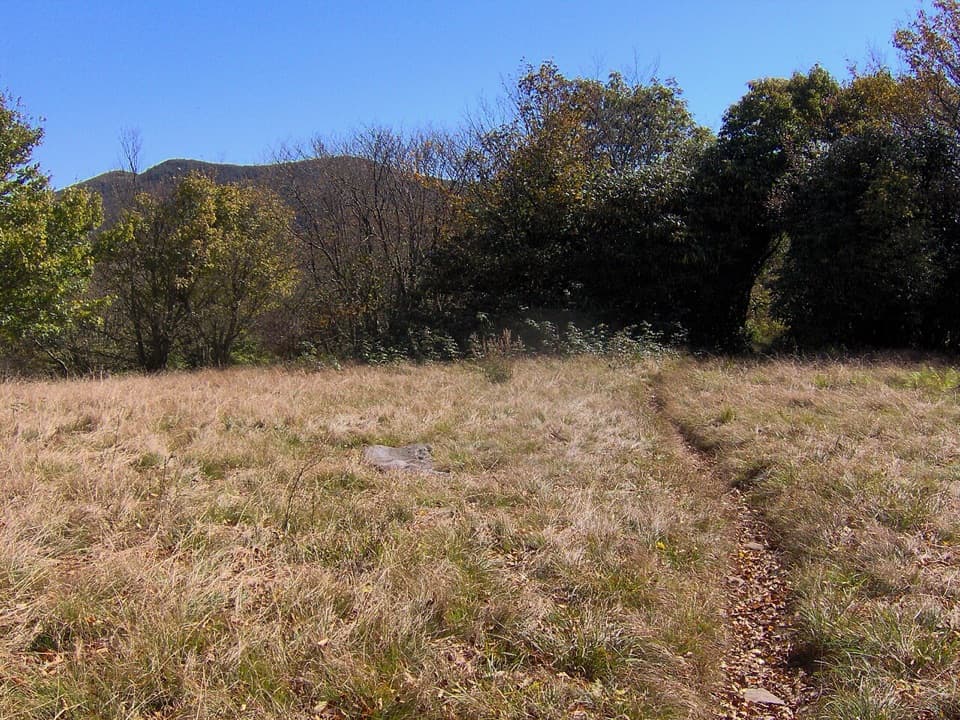 ChallengingSpence Field via Lead Cove Trail9.5 mi · 7 hr · 1.8 mi awayA steep, all-day climb to a historic meadow on the AT
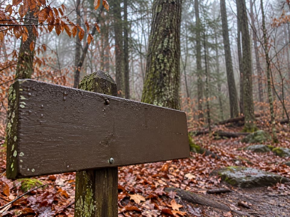 ModerateTurkeypen Ridge Trail3.6 mi · 2.5 hr · 1.8 mi awayA ridge walk through old cove fields and cool, moist hollows.
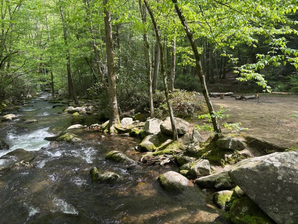 ModerateWest Prong Trail5.4 mi · 3.3 hr · 2.1 mi awayA steady forest climb to a riverside backcountry campsite.
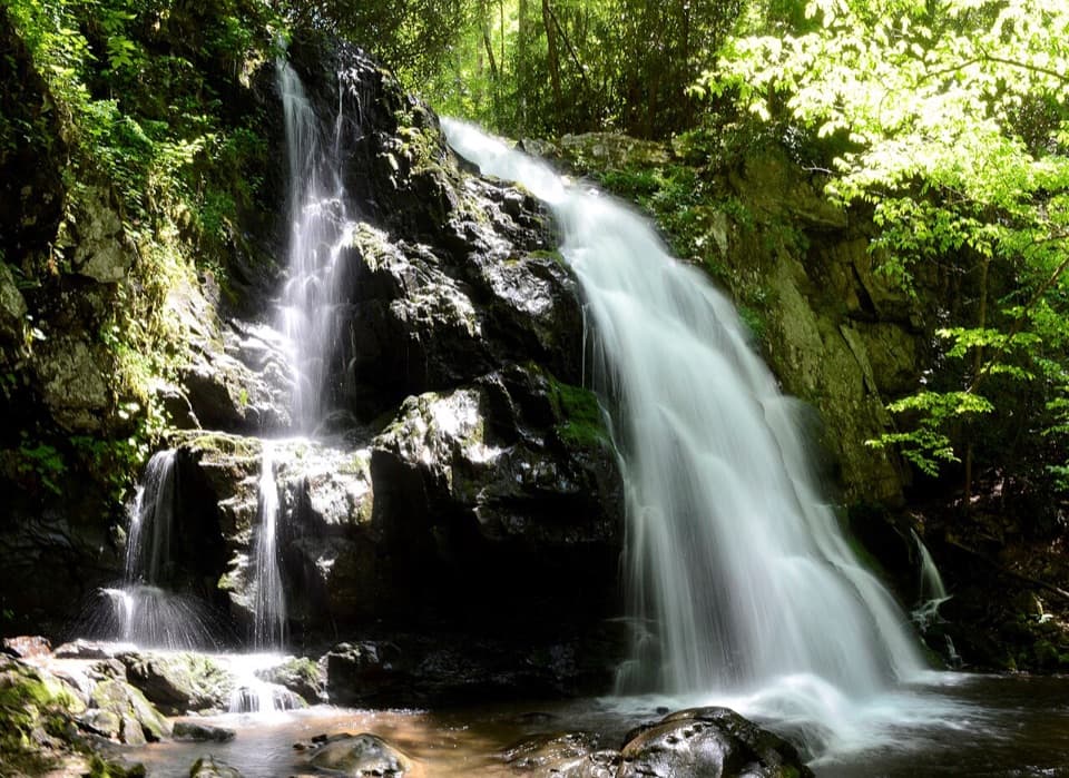 ModerateSpruce Flats Falls Trail1.8 mi · 2 hr · 2.2 mi awayA short Smokies waterfall hike with a steep, rocky finish
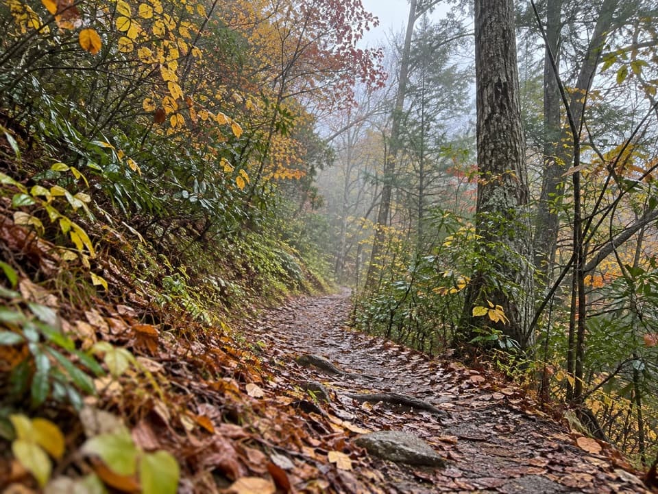 ModerateLumber Ridge Trail8.3 mi · 5 hr · 2.2 mi awayA steady forest climb to a backcountry junction and back.
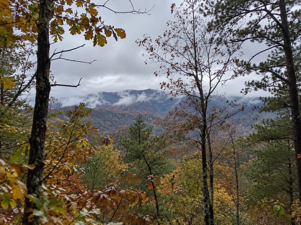 ModerateChestnut Top Trail8.6 mi · 5.5 hr · 2.4 mi awaySpring wildflowers and Smokies views reward a steady climb.
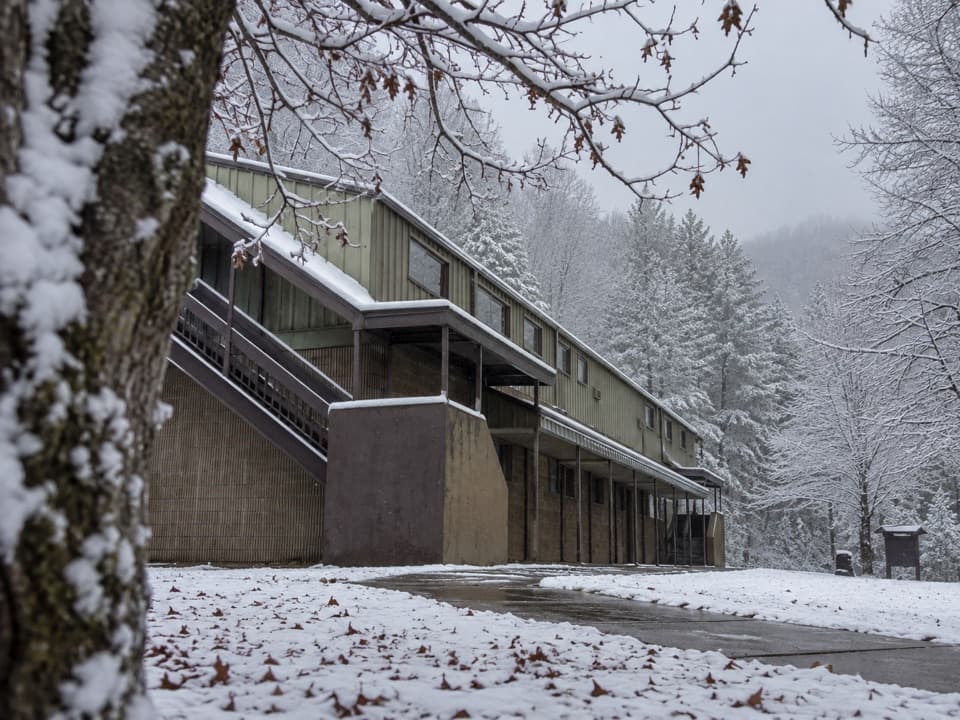 Visitor center · 2.2 mi awayTremont Visitor CenterA practical hike-planning stop with Smokies books and field guides.
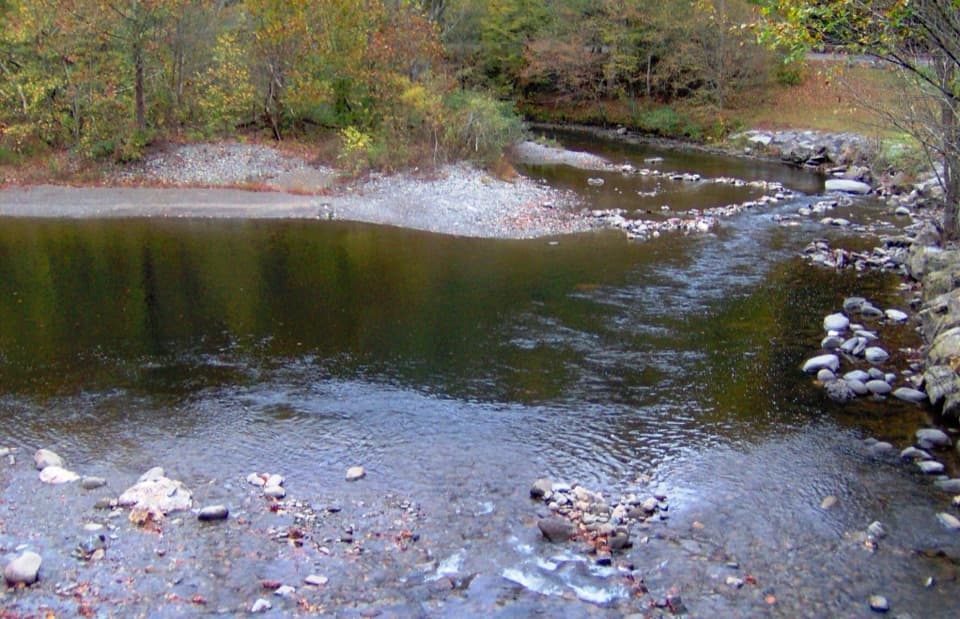 Sight · 2.4 mi awayTownsend WyeRocky Little River access just beyond Townsend's park entrance.Sight · 2.5 mi awaySpruce Flats FallsFour tiers of falls make this steep Tremont walk worth the effort.
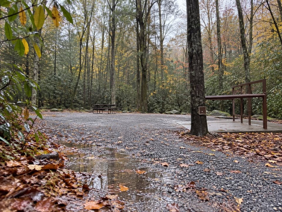 Campground · 3 mi awayAnthony Creek Horse CampThree reserved horse campsites with trail access near Cades Cove.
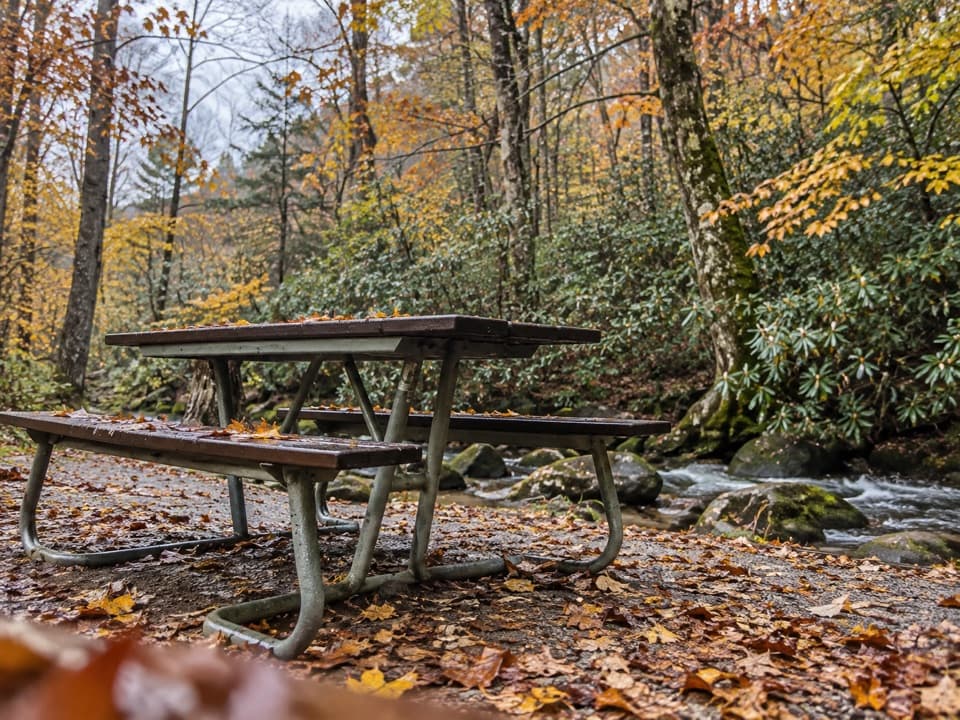 Picnic area · 3 mi awayCades Cove Picnic AreaCreekside lunch tables and charcoal grills at the loop entrance.
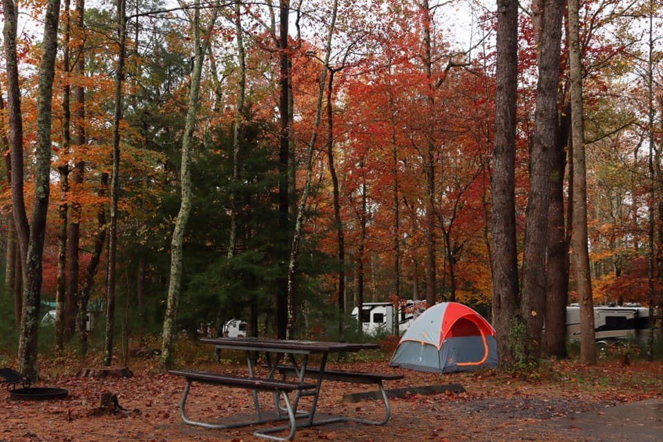 Campground · 3.3 mi awayCades Cove CampgroundA woodland base for the cove's historic loop and wildlife.
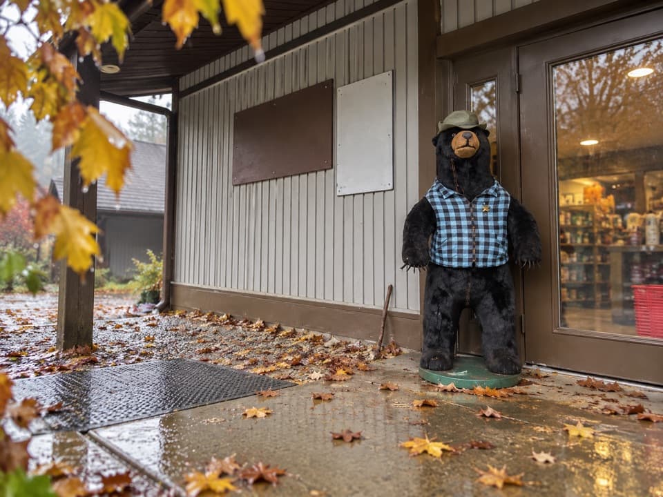 Store · 3.3 mi awayCades Cove Campground StoreBike rentals, camp supplies and soft-serve before the loop.
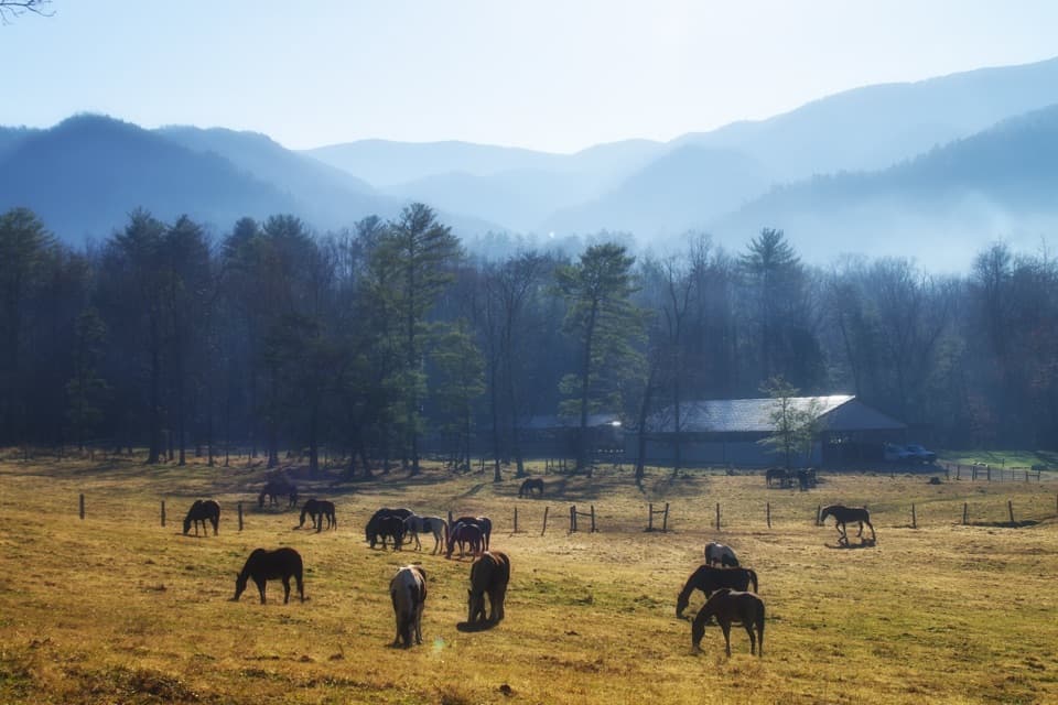 Sight · 3.4 mi awayCades Cove Riding StablesA horse, carriage or hayride gives the cove a different pace.
Parkwolf’s Great Smoky Mountains ranking

The audio tour guide for the drive, plus offline maps, trails, and wildlife heatmaps for when the signal drops.





