
Place · 0 mi away
Moderate
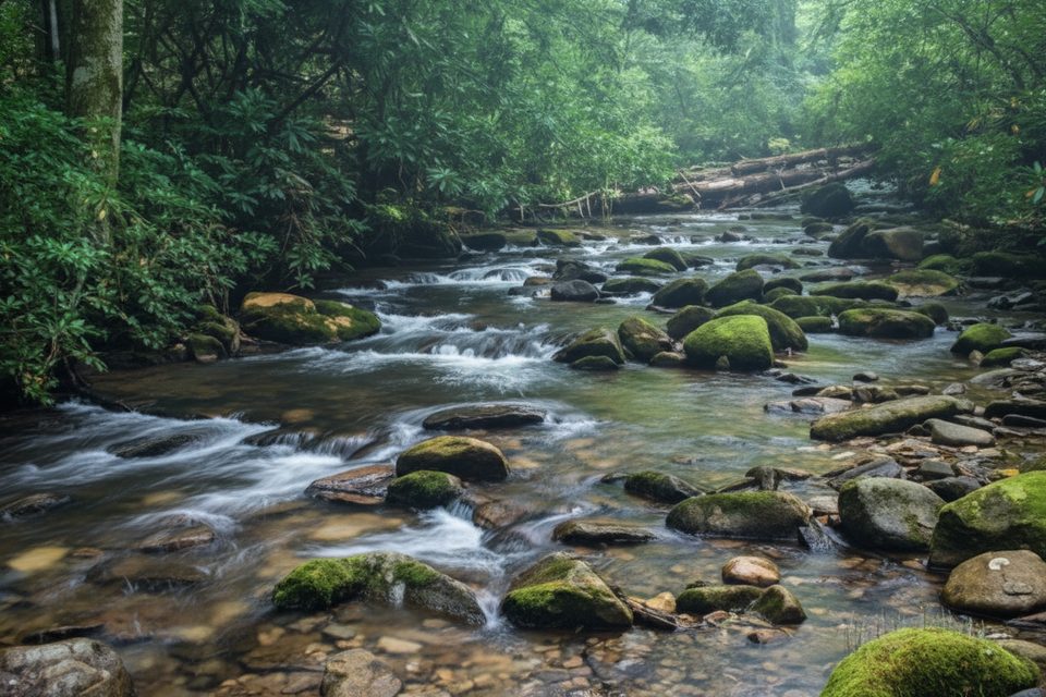
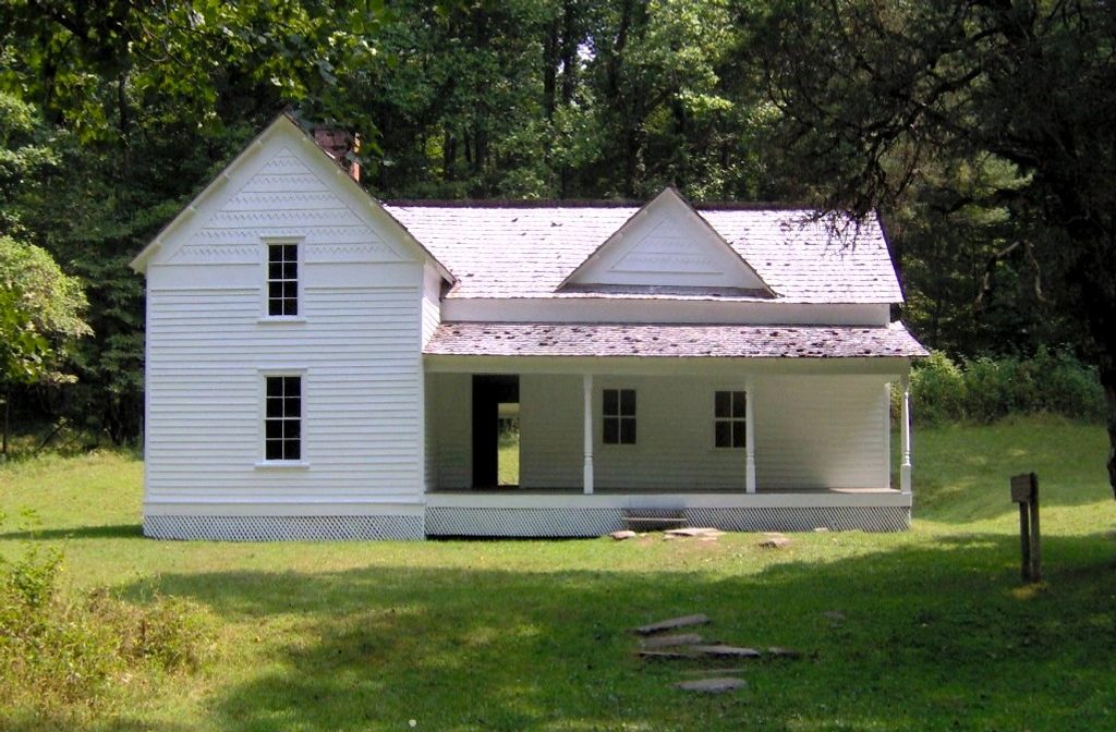
Rough Fork Trail traces a shady creek corridor through Cataloochee Valley, mixing easy walking with backcountry vibes and a dash of history. You’ve got options: a super approachable, family‑friendly sampler to the historic Woody House (about 2 miles round‑trip), or the full push to Polls Gap (about 6.6 miles one way or ~12.6 miles out‑and‑back). Expect a gentle start along Rough Fork, then a noticeably steeper, more sustained climb as you head toward Polls Gap.
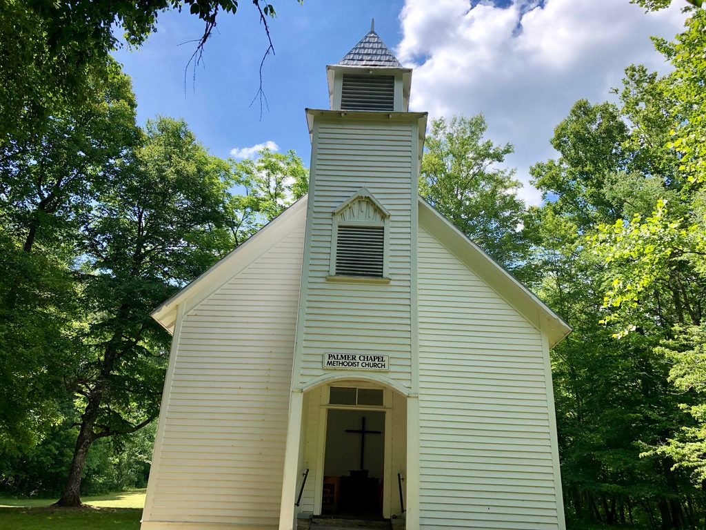
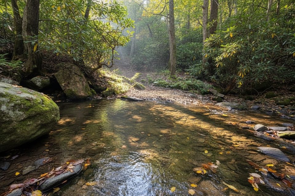
The first miles follow Rough Fork through rich forest with wildflowers in season, soothing water sounds, and several sturdy log/footbridge crossings. Cataloochee’s homestead history comes alive at the Woody House—a classic 1880s home with a nearby spring house. Around the valley, you can also visit the old schoolhouse and Palmer Chapel before or after your hike. Wildlife is a real draw here: elk are commonly seen in the meadows, and hikers also report deer and the occasional black bear. Snake‑aware hikers have even noted a timber rattlesnake—give all wildlife plenty of space.
To the Woody House, the tread is wide and relatively flat—great for kids and seniors. Past the campground/campsite area, the grade steepens on the way to Polls Gap, turning the outing into a moderate effort mostly due to length and elevation gain. Portions of the trail can be muddy because it’s also a horse route, and after storms you may encounter blowdowns, overgrowth, or washouts—especially near the Rough Fork/Caldwell Fork junction. Seasonal or storm damage can also affect creek crossings if bridges are out; waterproof footwear and trekking poles help.
Access is part of the adventure: from I‑40, head toward Maggie Valley and take Cove Creek Road into Cataloochee. Expect narrow, winding gravel sections before the pavement returns. Drive to the end of the road in the valley for the trailhead parking. Restrooms are typically available in the valley, and crowding is often light compared to busier park hubs. Note that dogs aren’t allowed on this trail.
Spring and fall are prime: cool temps, wildflowers or color, and great chances to spot elk in the mornings and evenings. Summer brings lush shade but also humidity, bugs, and muddier tread—treat clothing for ticks. In any season, start early for solitude and softer light in the forest. After heavy rain, expect slick roots and potentially higher water at crossings; consider waiting for levels to drop if you plan extensions involving fords.
Yes—especially if you like quieter corners of the Smokies, human history, and the possibility of elk. The first miles are underrated and family‑friendly; the full push to Polls Gap rewards with a classic Smokies creek‑to‑ridge progression. The tradeoffs are the rough approach road, horse‑churned mud, and occasional storm damage. If you want historic cabins without the gravel‑road commitment, the Roaring Fork Motor Nature Trail near Gatlinburg offers similar heritage with easy stops, but Rough Fork delivers a more peaceful, backcountry feel.
Drive into Cataloochee Valley via Cove Creek Road and continue to the end of the road for the trailhead parking; restrooms are typically available in the valley.
Narrow gravel access road; muddy, horse‑tracked tread; seasonal blowdowns/landslides near the Caldwell Fork junction; possible unbridged creek crossings on extensions; ticks in warm months.
Place · 0 mi away
Place · 0.4 mi away
Place · 0.9 mi away
Place · 1 mi away
Challenging · 2.1 mi away
Moderate · 2.1 mi away
Challenging · 4.5 mi away
Moderate · 4.9 mi away

Parkwolf Tour Guide
