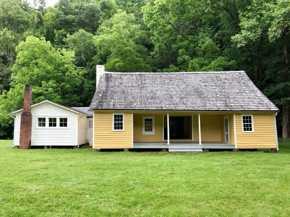
Little Cataloochee Trail in Great Smoky Mountains National Park

Great Smoky Mountains National Park, TN · NC

Little Cataloochee Trail

A long, rolling hike to cabins, a church, and mountain history

Photo: Public Domain
Length
12.1mi
Time
6.5hr
Elev. change
1,168ft
Difficulty
Challenging
  • No dogs
  • High point 3,957 ft
  • #47 of 197 in Great Smoky Mountains

Hear the audio tour

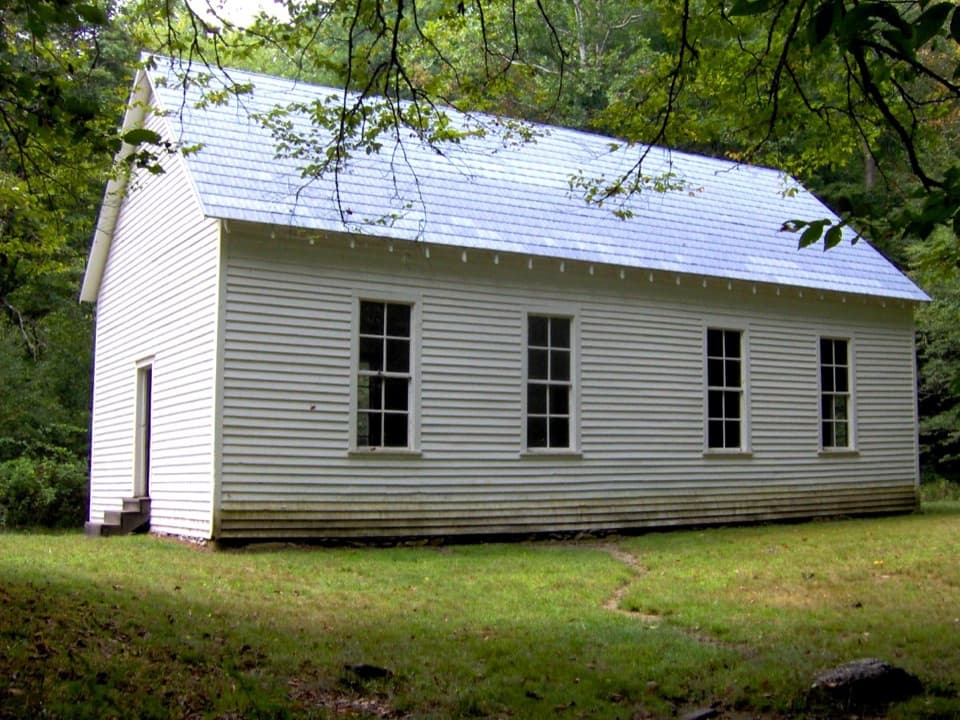
Beech Grove School

Overview

About Little Cataloochee Trail

Why go

  • Restored cabins, church and cemetery reward the long climb
  • The route ties together several sites from Cataloochee’s settlement history

Heads up

  • A 12-mile day with steep switchbacks and creek crossings
  • The required access walk adds 1.6 miles before and after the named trail

Map & elevation

The route

Loading the Great Smoky Mountains map
Full map
Elevation2,789–3,957 ft
TrailheadCataloochee Group Camp pullout / Pretty Hollow Gap Trailhead35.62665, -83.11249
Keep this map with you offline in the Parkwolf app

Plan your hike

Before you go

Parking

Park at the Cataloochee Group Camp pullout off Pretty Hollow Gap Road. Follow about 0.3 mile of access road, then about 0.5 mile on Pretty Hollow Gap Trail to the Little Cataloochee Trail. The approach is included in the full route distance. Vehicles parked longer than 15 minutes need a Great Smoky Mountains National Park parking tag.

Safety

Several creek crossings can be awkward after rain. The north descent from Davidson Gap is steep and switchbacked, and the return requires climbing it again. This is a long backcountry hike.

7 active Great Smoky Mountains alerts

  • ClosureHurricane Helene trail damage and backcountry restrictionsHurricane Helene damage has restricted backcountry trail access; avoid damaged crossings and observe trail-specific limits.Official details
  • CautionBear-related trail, campsite, and road restrictionsBear activity has closed trails, a shelter, and campsites and restricted pedestrian access on Cherokee Orchard Road; stay out of closed areas and follow vehicle-only rules.Official details
See all 7 alerts
A park ranger sits on a dash-mounted phone, talking, as Parkwolf’s Tour Guide plays “Army Cutworm Moths: A Grizzly Bear Buffet” on Grand Loop Road below Dunraven Pass in Yellowstone
Parkwolf Tour GuideThe highest, rockiest slopes around here are a summer buffet for grizzly bears.

Great Smoky Mountains Tour Guide

Your drive to Little Cataloochee Trail, narrated.

Parkwolf is a GPS audio tour guide for Great Smoky Mountains National Park. As you drive, it chimes in with what’s ahead: hidden gems, upcoming stops, history, geology, and wildlife, right through your car’s speakers.

See the Great Smoky Mountains audio tour

Recorded for this trailhead

Beech Grove School
0:00 / 0:34
“Beech Grove School is coming up, a two-room schoolhouse reached by a short walk across Palmer Creek. Cross the wooden footbridge near Pretty Hollow Gap, then follow the walkway to the building.”

Plays as you drive up to this trailhead in the Parkwolf Great Smoky Mountains Tour Guide.

More stories near here in the app

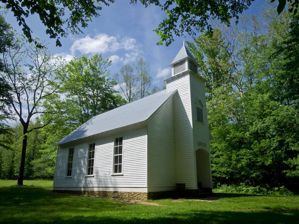
  • Palmer Chapel
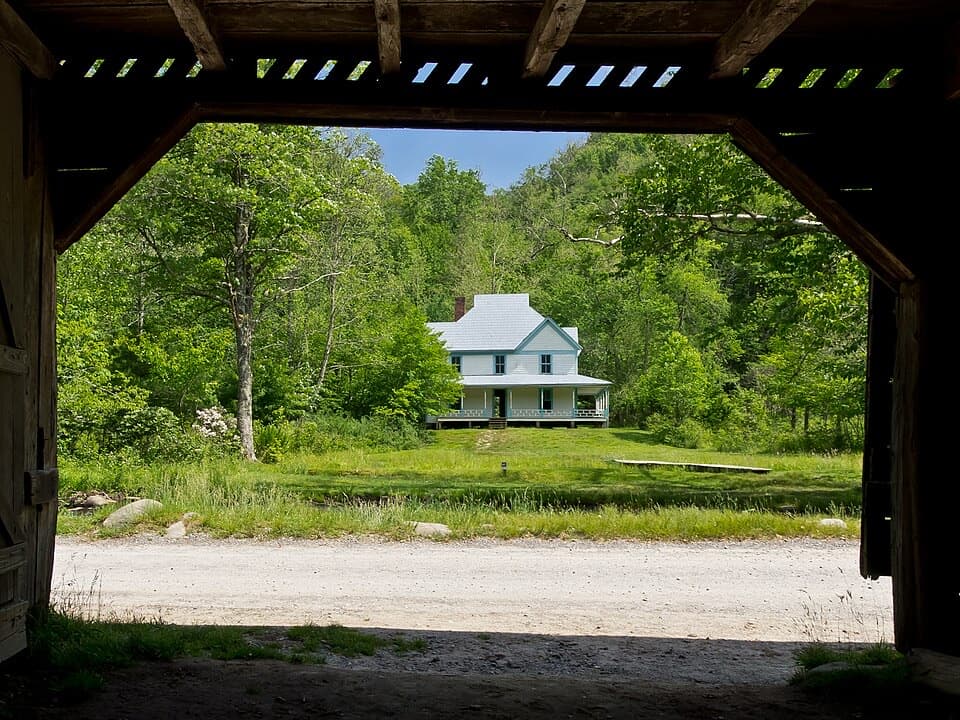
  • Caldwell Place
  • Rough Fork Trailhead and Steve Woody House
  • Will Messer Barn
  • 200 audio storiesacross Great Smoky Mountains’s roads, triggered by GPS as you drive
  • Wildlife heatmapsfor Black Bear, Elk, Bald Eagle, and 13 more
  • Works offlinemaps, 197 trails, 137 places, and audio download before you lose signal
  • CarPlay readysimple controls built for the drive
★★★★★
“Fantastic app with many points of information… It’s great to just turn on while you’re driving and it gives you an audio tour of the national Park. We love it!!!!”
JMJamesApp Store review
Download Parkwolf on the App StoreGet Parkwolf on Google Play

4.7 from 8,600+ ratings

Trail guide

Hiking Little Cataloochee Trail

The full hikeLittle Cataloochee Trail is a hard, 12.

Little Cataloochee Trail is a hard, 12.1-mile out-and-back from the Cataloochee Group Camp parking pullout. That total includes the roughly 0.8-mile approach to the named trailhead each way, then the full 5.3-mile trail corridor over Noland Mountain and into Little Cataloochee. Allow about six to seven hours. The route drops into the valley, continues north to the Mount Sterling Road junction, and returns over the same ground. It is a long day, but it links several historic sites in one walk.

Up and over Davidson GapFrom the parking area, follow Pretty Hollow Gap Road and Trail beside Palmer Creek to the…

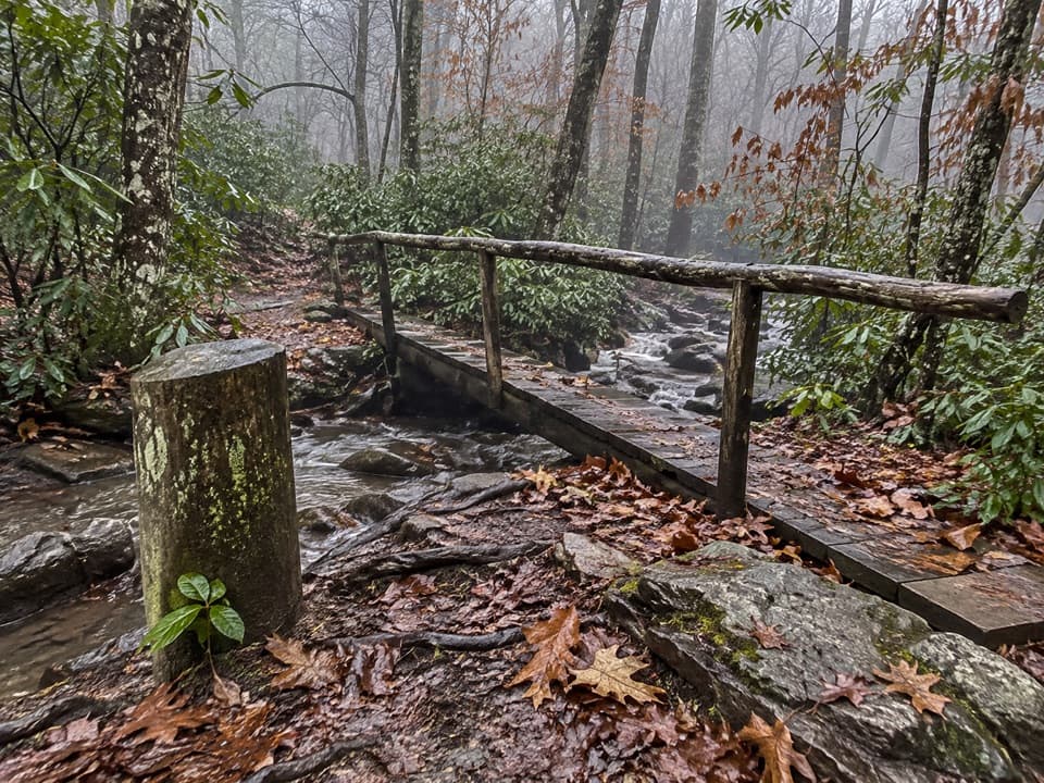
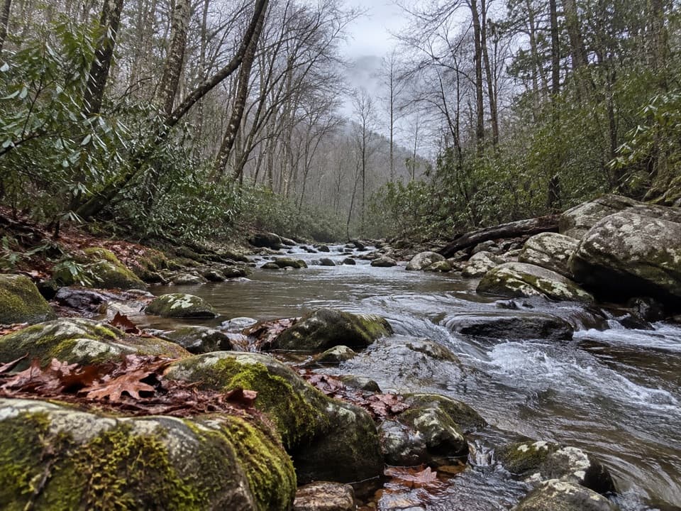
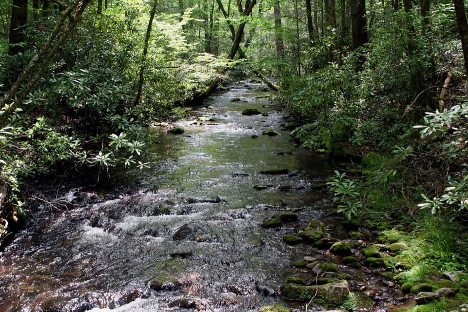
From the parking area, follow Pretty Hollow Gap Road and Trail beside Palmer Creek to the Little Cataloochee junction. The approach is mostly level; the named trail then climbs steadily toward Davidson Gap. Several crossings over Little Davidson Branch interrupt the climb, and mossy stone walls mark the old Messer farmstead. The north side drops more steeply on switchbacks. On the return, you climb those switchbacks again before the final descent to Palmer Creek.

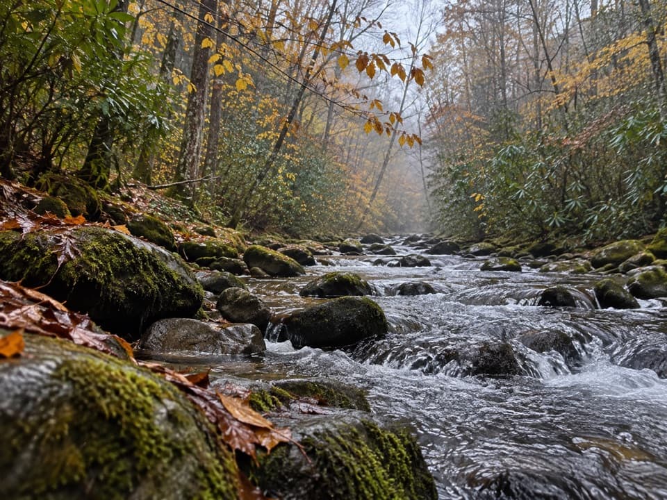
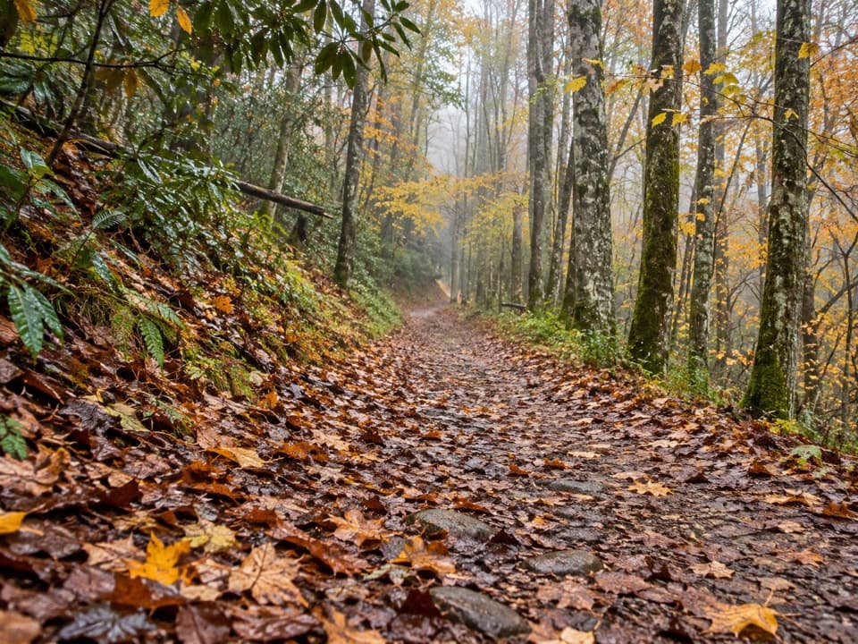
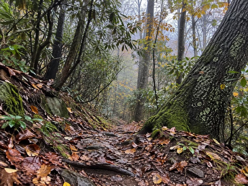
The route is native ground with loose rock and roots. After the gap it broadens into a smoother old road through the valley. Creek crossings can be awkward after rain, so give the water time to settle before choosing your steps.

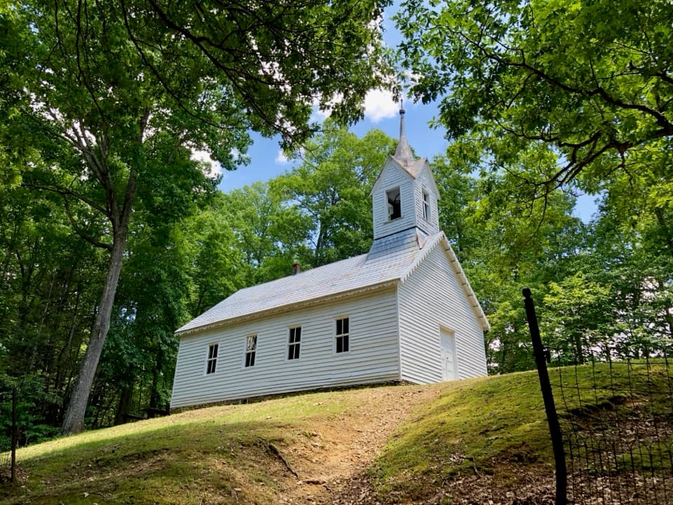
A settlement in the woodsLittle Cataloochee grew as families moved north from Big Cataloochee in the 1850s.

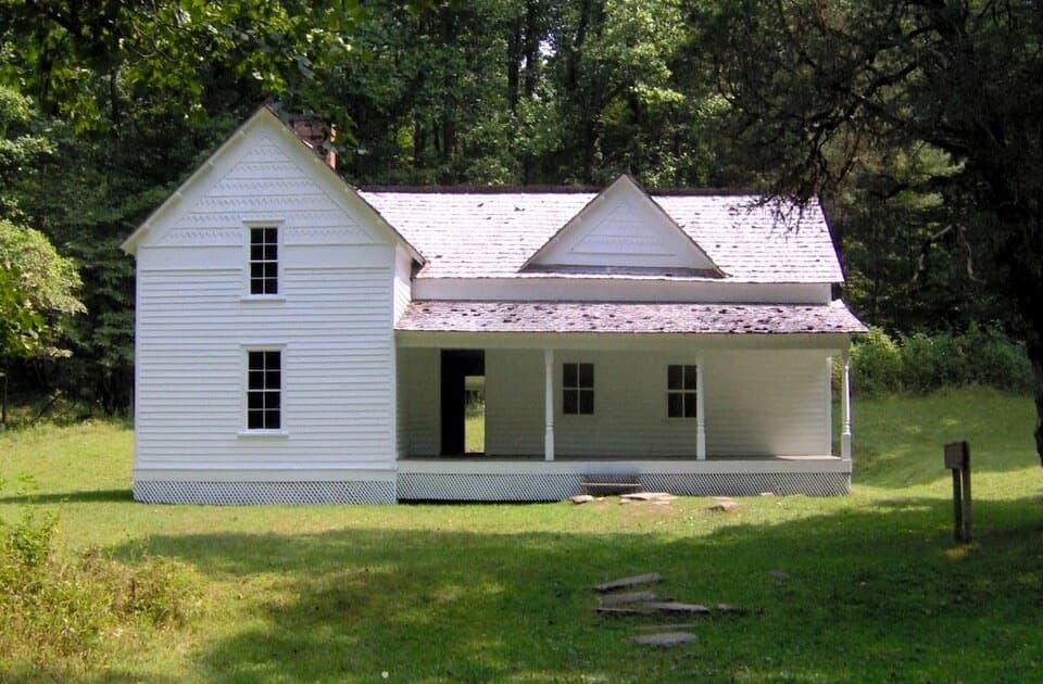
Little Cataloochee grew as families moved north from Big Cataloochee in the 1850s. The trail passes the 1850s Cook Cabin and the stone remains of its apple house, then the white Little Cataloochee Baptist Church and its cemetery. The church was built in 1889; some cemetery stones date to the 1830s. The old Messer farmstead was more than a home: Will Messer ran a sawmill, gristmill, store, blacksmith shop, and woodworking shop across a 340-acre holding. Apples later became an important source of income in the valley.

Pick a turnaroundThe church is a good shorter version: it is about four miles from the group-camp parking area,…

The church is a good shorter version: it is about four miles from the group-camp parking area, or roughly eight miles round trip. Farther along, a short spur reaches Hannah Cabin. The full Little Cataloochee corridor continues beyond that spur to Mount Sterling Road, so turn back there only if you want to cover the whole named route. Pets are not allowed on this trail; horses use it too.

Getting to the trailPark at the Cataloochee Group Camp pullout off Pretty Hollow Gap Road. The first roughly 0.

Park at the Cataloochee Group Camp pullout off Pretty Hollow Gap Road. The first roughly 0.3 mile follows the access road; Pretty Hollow Gap Trail carries you the remaining half mile to the named trail. The approach is part of the 12.1-mile total, not a separate trailhead drive. A park parking tag is required for vehicles parked longer than 15 minutes.

Wildlife

Wildlife in Great Smoky Mountains

All Great Smoky Mountains wildlife maps

Sighting maps show where each species has been reported across Great Smoky Mountains. Wildlife moves, so no sighting is guaranteed.

Keep exploring

Near Little Cataloochee Trail

See it all on the map

Trails that start nearby

Places near the trailhead

Parkwolf’s Great Smoky Mountains ranking

Top-rated trails in Great Smoky Mountains

All 197 trails
  1. 1Mount Le Conte via Alum Cave TrailChallenging · 10 mi
  2. 2Charlies Bunion via Appalachian TrailModerate · 8 mi
  3. 3Alum Cave Trail to Alum Cave BluffsModerate · 4.6 mi
  4. 4Ramsey Cascades TrailChallenging · 8 mi
  5. 5Mount Cammerer TrailChallenging · 11.1 mi
  6. 6Gregory Ridge TrailChallenging · 11.4 mi

Take Parkwolf to Great Smoky Mountains.

The audio tour guide for the drive, plus offline maps, trails, and wildlife heatmaps for when the signal drops.

4.7 from 8,600+ ratings

Download Parkwolf on the App StoreGet Parkwolf on Google Play