Parking
Start at the small roadside lot on Heintooga Spur Road just inside the park. Heintooga picnic area is the far end and has a larger lot for a car-shuttle finish. The access road closes to motor vehicles in winter.
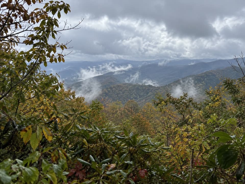
Great Smoky Mountains National Park, TN · NC
Creek crossings lead through forest to a picnic-area finish.
Overview
Map & elevation
Plan your hike

The highest, rockiest slopes around here are a summer buffet for grizzly bears.
Great Smoky Mountains Tour Guide
Parkwolf is a GPS audio tour guide for Great Smoky Mountains National Park. As you drive, it chimes in with what’s ahead: hidden gems, upcoming stops, history, geology, and wildlife, right through your car’s speakers.
See the Great Smoky Mountains audio tourRecorded for this trailhead
Flat Creek Trailhead“Flat Creek Trailhead is coming up, for a woodland hike beside creeks rather than a waterfall visit. Allow about three hours for the five point two-mile round trip, with a steep descent to start and a climb back out.”
Plays as you drive up to this trailhead in the Parkwolf Great Smoky Mountains Tour Guide.
More stories near here in the app
“Fantastic app with many points of information… It’s great to just turn on while you’re driving and it gives you an audio tour of the national Park. We love it!!!!”


Trail guide
Flat Creek Trail is a 5.2-mile out-and-back in the Balsam Mountain side of Great Smoky Mountains National Park, from a small roadside lot on Heintooga Spur Road to the Heintooga picnic area. The mapped trail is about 2.6 miles each way; unless you arrange a car shuttle, you return along the same corridor. Allow about three hours. The park rates it moderate. Pick it for a woodland walk beside creeks and a picnic-area finish, not for a waterfall payoff.
The path drops steeply from the roadside access on dirt steps edged with logs, then winds through the forest with short climbs and descents. Reports describe two Bunches Creek crossings; the larger one calls for rock-hopping. Creek levels change, so that crossing can be harder after rain. Expect the climb to pick up after the crossings.
The route follows Flat Creek through a mostly wooded stretch, rounds Flat Creek Bald, and eases toward the picnic area. A grassy section with younger trees marks a ridge that was heavily logged before it became part of the park. The nearby waterfalls are a different destination: the old approach to Flat Creek Falls is abandoned and unstable, and the falls aren’t visible from above. Stay on the main trail.
The trail finishes at the Heintooga picnic area, with tables, grills, and seasonal accessible restrooms. Two benches at the nearby overlook face the Smokies; use the tree line in the foreground to give the layered ridges depth in a photo. If you leave a car at the picnic area, you can hike the 2.6 miles one way instead. Pets aren’t allowed on this trail. The access road has a winter motor-vehicle closure, so check NPS road conditions before driving.
Wildlife
 1,569 sightingsBlack BearMost seen around 7 PMSighting map
 900 sightingsElkMost seen around 7 AMSighting map
 13 sightingsBald EagleMost seen around 9 AMSighting map
 142 sightingsTimber RattlesnakeMost seen around 6 PMSighting map
 26 sightingsBobcatMost seen around 8 PMSighting map
 42 sightingsRiver OtterMost seen around 7 AMSighting map
Sighting maps show where each species has been reported across Great Smoky Mountains. Wildlife moves, so no sighting is guaranteed.
Keep exploring
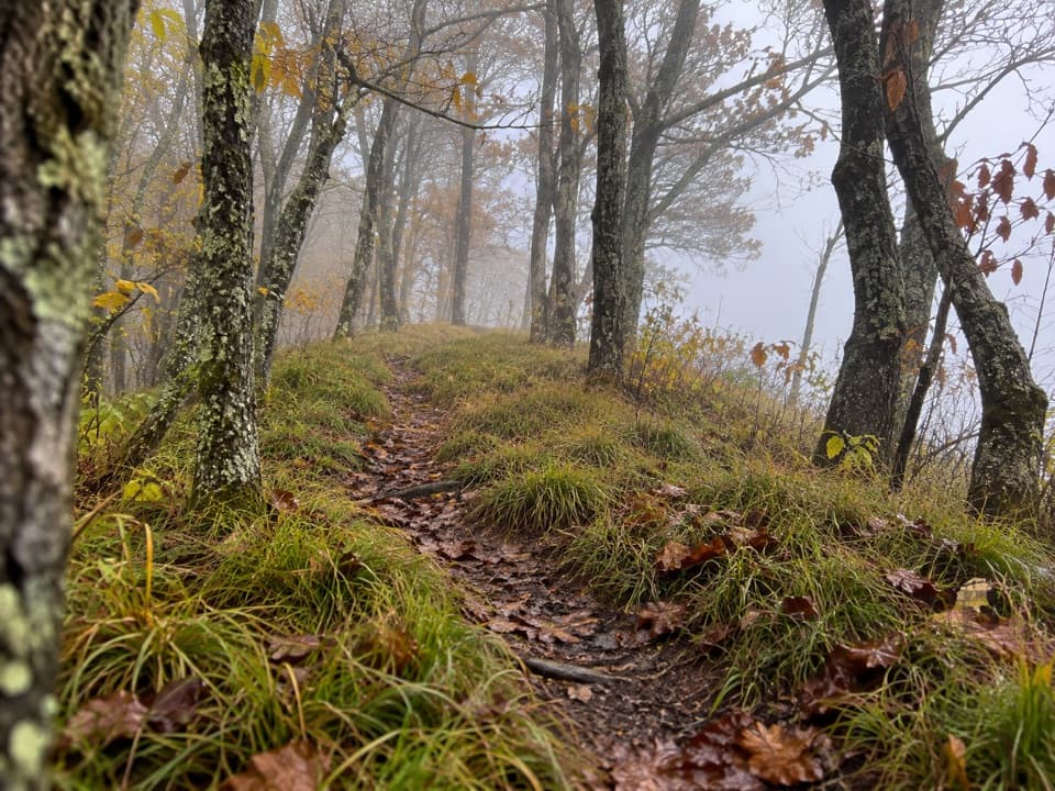 ModerateHemphill Bald Trail9.4 mi · 6 hr · 0.6 mi awayA long out-and-back to a grassy bald with mountain views.
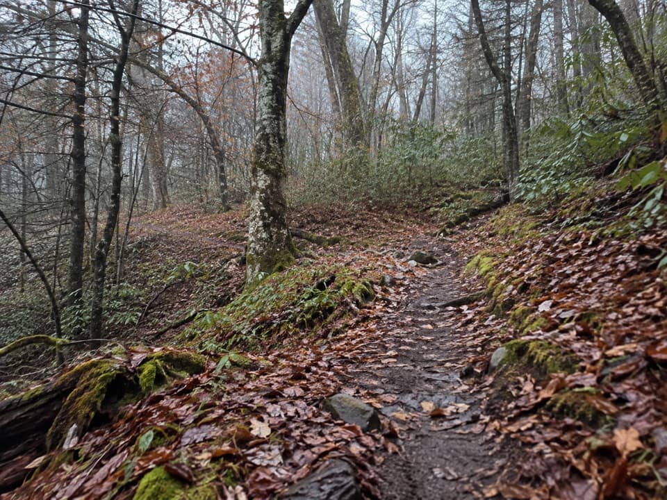 EasyBalsam Mountain Nature Trail1.3 mi · 45 min · 1.1 mi awayA short nature walk through high-elevation campground woods.
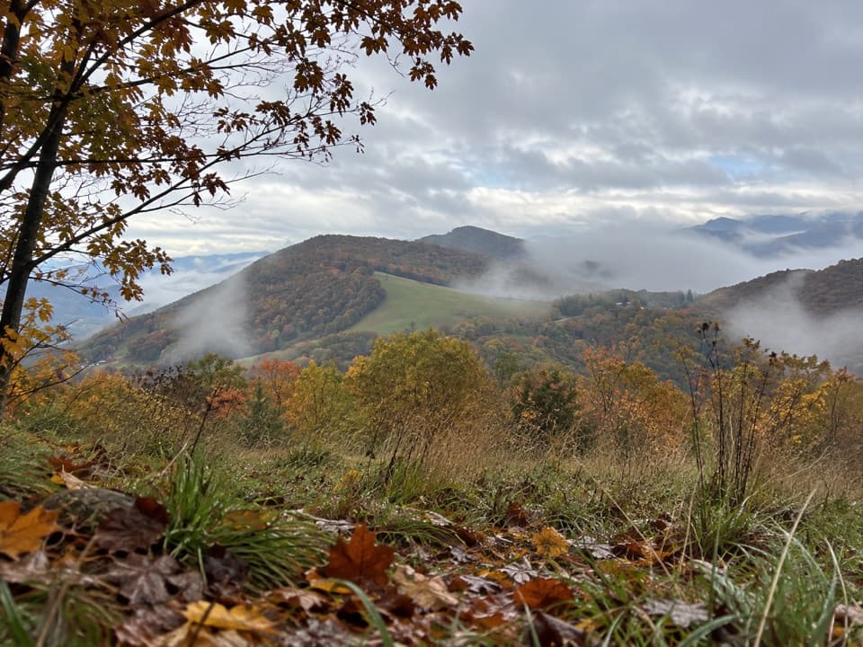 ChallengingHemphill Bald Loop Trail13.6 mi · 8 hr · 1.7 mi awayLong loop to Hemphill Bald, back through old logging grades.
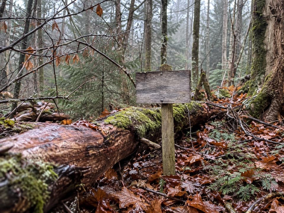 ModerateSpruce Mountain Trail2.3 mi · 1.8 hr · 4.1 mi awayMoss, spruce and a backcountry campsite after a short climb.
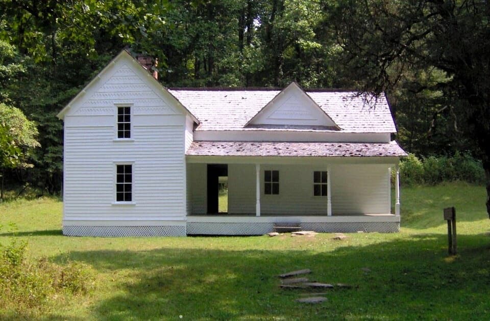 EasyRough Fork Trail to Steve Woody House2 mi · 1.3 hr · 4.9 mi awayA gentle creekside walk to a historic Cataloochee homestead.
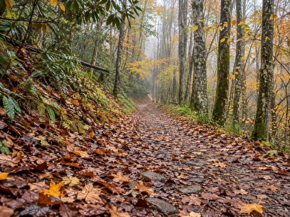 ModerateBig Fork Ridge Loop Trail9.3 mi · 5.5 hr · 5 mi awayRugged 9.3-mile loop with creek crossings and a Balsam Mountain view.
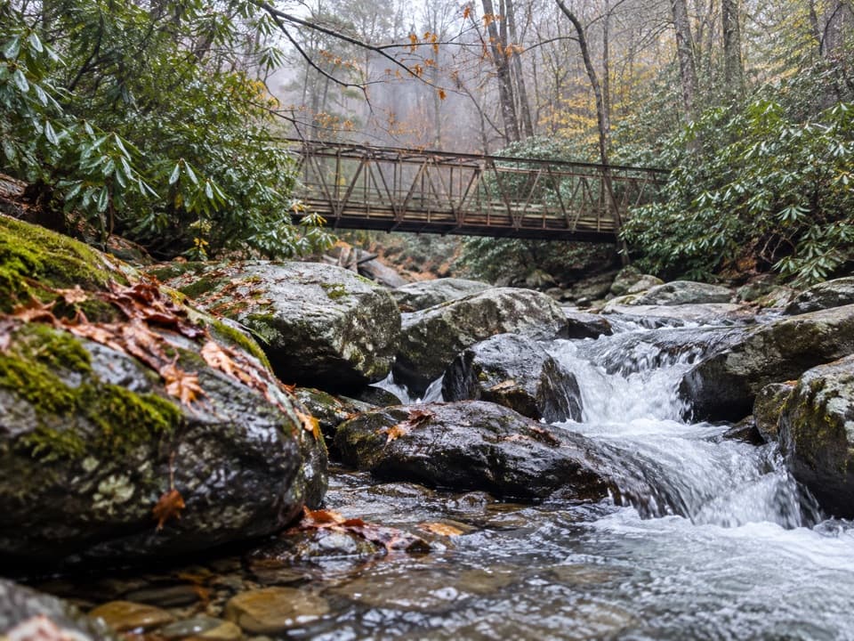 ChallengingEnloe Creek Trail5.4 mi · 5.5 hr · 5 mi awaySteel bridge and creek cascades reward a demanding backcountry traverse.
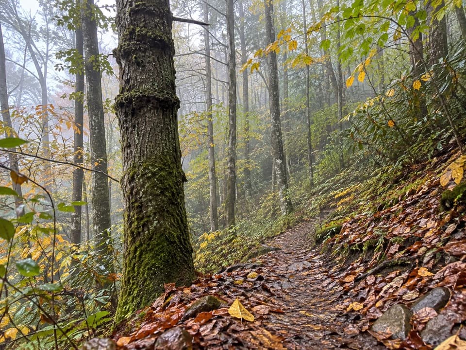 ChallengingHyatt Ridge Trail4.4 mi · 4 hr · 5 mi awayA steep forest climb ends at a remote backcountry camp.
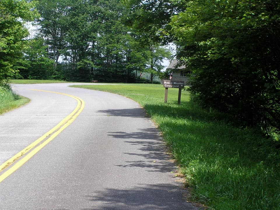 Campground · 1 mi awayBalsam Mountain CampgroundA cool, high-country stay at 5,310 feet.
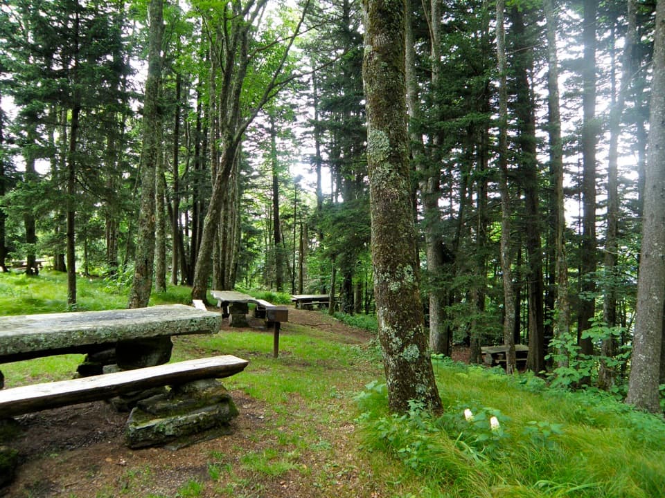 Picnic area · 1.6 mi awayHeintooga Picnic AreaHighest picnic area in the park, with the overlook close by.Sight · 4.2 mi awaySteve Woody HouseA streamside walk ends at Cataloochee's historic farmstead.
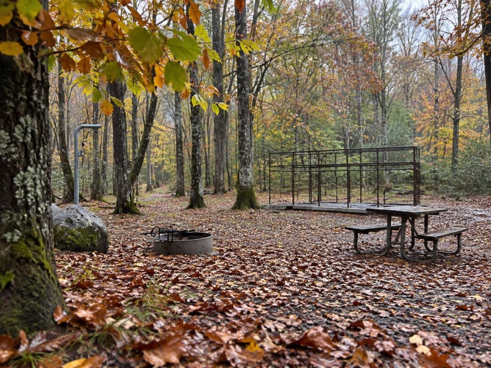 Campground · 5 mi awayRound Bottom Horse CampFive horse-camp sites at the end of a 3.5-mile gravel approach.
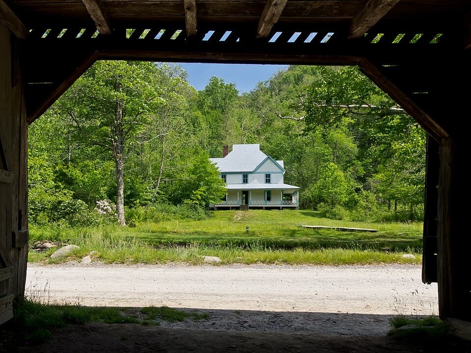 Sight · 5.3 mi awayCaldwell PlaceOld newspaper still lines the walls of this mountain home.
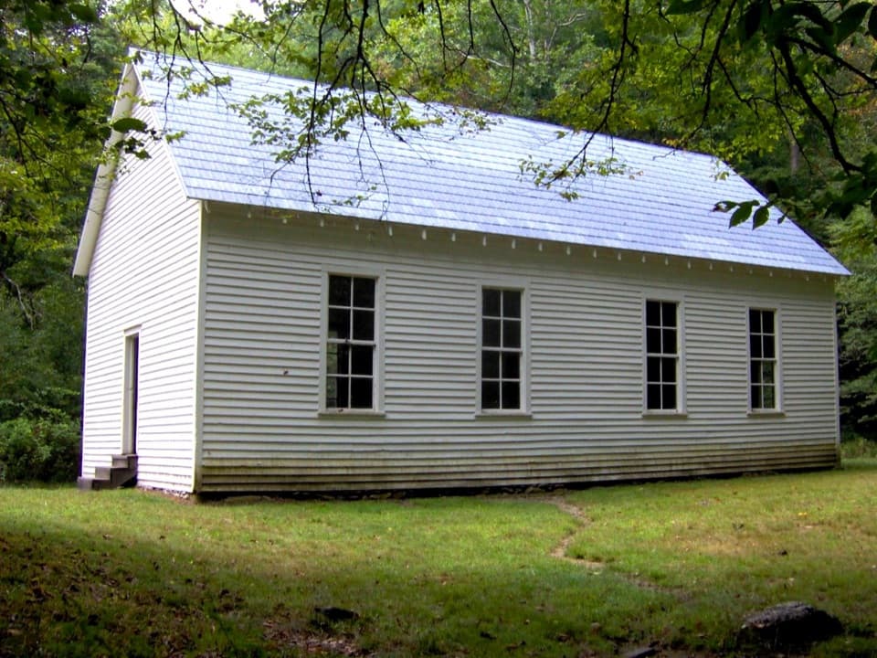 Sight · 5.7 mi awayBeech Grove SchoolA 1901 schoolhouse with a local story about fire.
 Campground · 5.8 mi awayCataloochee Horse CampSeven sites for horse camping beside Cataloochee Creek.
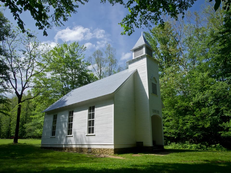 Sight · 5.9 mi awayPalmer ChapelA small valley church with a big role in Cataloochee's story.
Parkwolf’s Great Smoky Mountains ranking

The audio tour guide for the drive, plus offline maps, trails, and wildlife heatmaps for when the signal drops.





