
Place · 0.3 mi away
Challenging
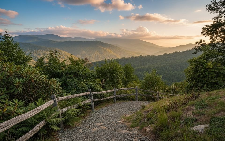
This is a 7.4-mile loop that pairs the Boogerman Trail with the Caldwell Fork Trail in Cataloochee Valley. Expect a true Smokies sampler: rare old-growth forest, historic homesteads, constant creek company—and a surprising amount of effort for the mileage. The loop is hikers-only on the Boogerman section and typically rated moderate to difficult due to steady climbs and numerous water crossings.
Most hikers start from the Caldwell Fork Trailhead (just past Cataloochee Campground) and cross a long footbridge right away. Going counterclockwise softens the initial grade: follow Caldwell Fork past a series of log bridges and fords, then climb the Boogerman Trail through towering poplars and mixed hardwoods. You’ll pass historic sites like the Palmer and Carson Messer homesites and small cemeteries before descending back to Caldwell Fork for a creeky finish. Elevation gain typically lands around 1,100–1,300 feet, with a high point near 3,700 feet.
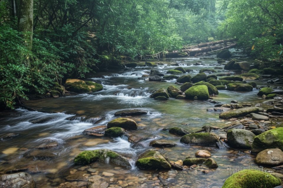
Recent storm/flood damage has washed out multiple bridges, turning this into a very wet loop. As of 2025, hikers report roughly a dozen-plus crossings—some shin to thigh deep—plus washed-out sections and blowdowns. Expect to get your feet wet, bring water shoes and spare socks, and skip this one during or right after heavy rain. Rocks can be slick and currents pushy when water is up. GPS/offline maps help where detours and horse fords near Caldwell Fork can confuse the route.
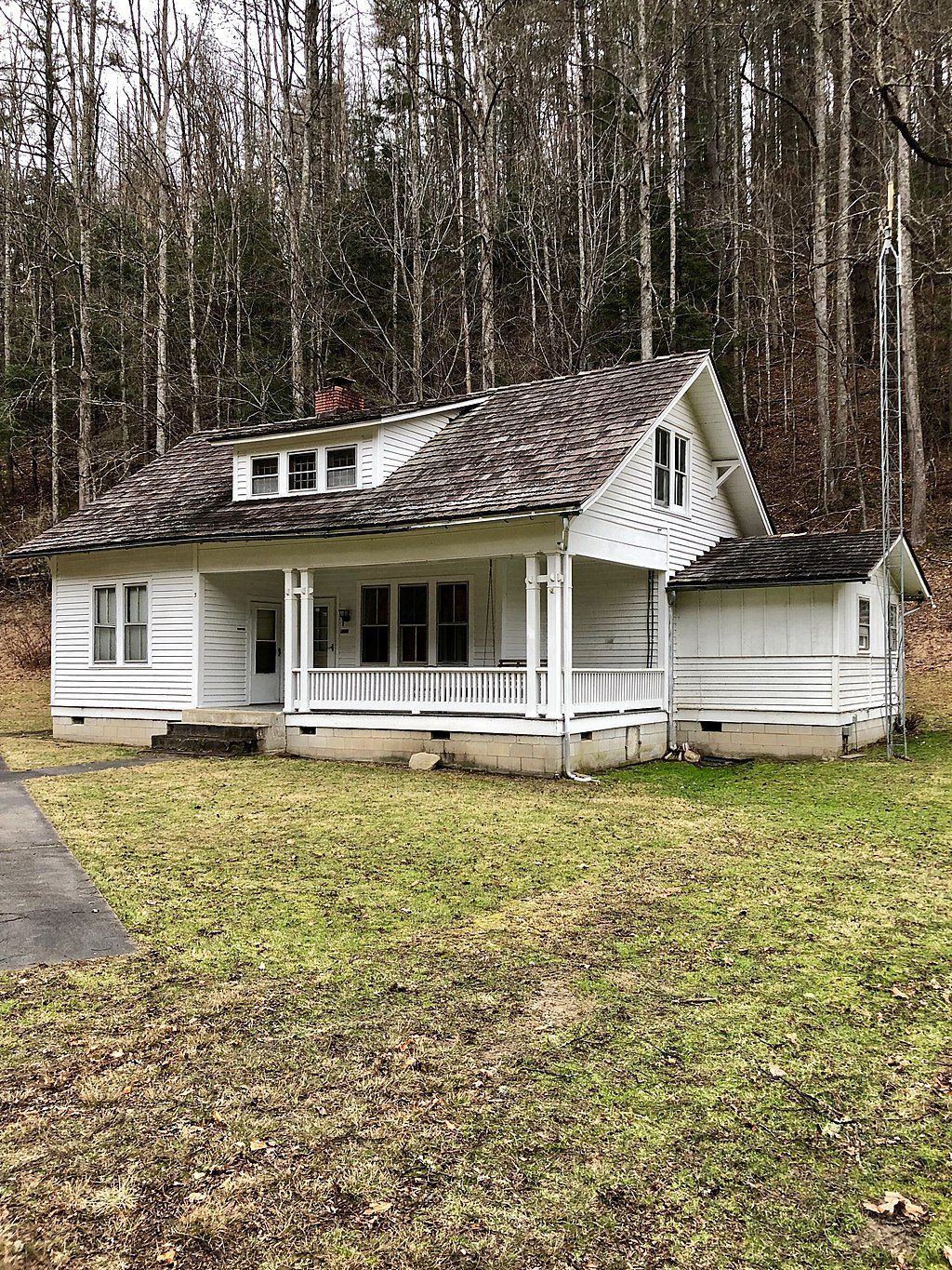
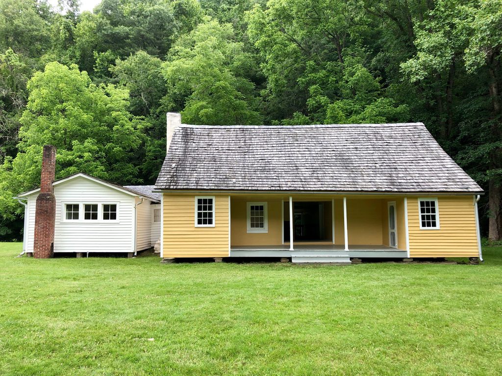
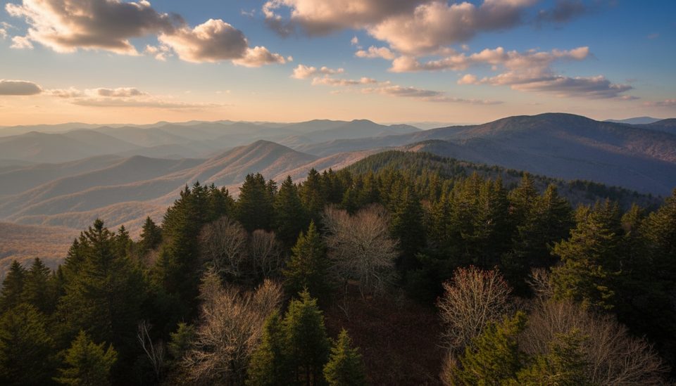
This forest owes its size to Robert “Boogerman” Palmer, who refused to log his land. You’ll walk among giant poplars and other big trees, alongside small cascades on Caldwell Fork and Snake Branch, and past remnants of early homesteads (rock walls, foundations, chimneys). It’s a quieter corner of the park with a lot to look at if you enjoy old growth and cultural sites.
All seasons work, but this loop shines on cool, dry days when water is low. Avoid or postpone after heavy rain—crossings can become hazardous and slow. Start early for solitude and better light through the big trees; weekdays see fewer people. Leaf-off offers long views through the hardwoods; summer brings lush shade but more bugs.
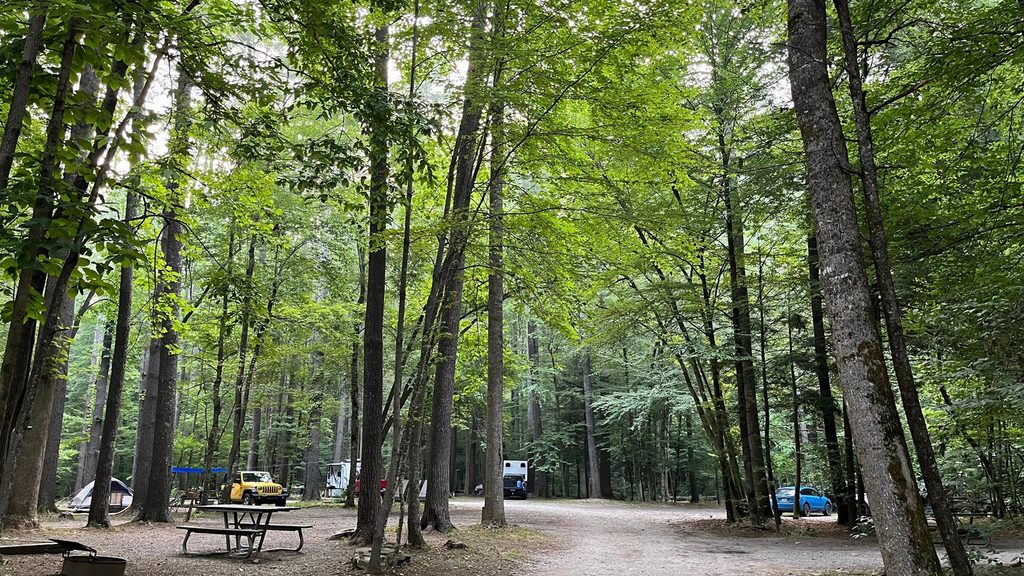
Caldwell Fork Trailhead, just past Cataloochee Campground in Cataloochee Valley; limited parking nearby. Access via Cove Creek Road (narrow gravel with potholes).
Multiple bridges remain out; expect up to thigh-deep fords, slick rocks, blowdowns, and occasional eroded tread. Avoid during or after heavy rain. Hikers only on the Boogerman section; horse fords on Caldwell Fork can mislead—stay on the main trail.
Place · 0.3 mi away
Place · 0.8 mi away
Place · 0.8 mi away
Place · 0.8 mi away
Moderate · 0 mi away
Moderate · 2.1 mi away
Challenging · 3.1 mi away
Challenging · 4.8 mi away

Parkwolf Tour Guide
