
Place · 0.3 mi away
Moderate
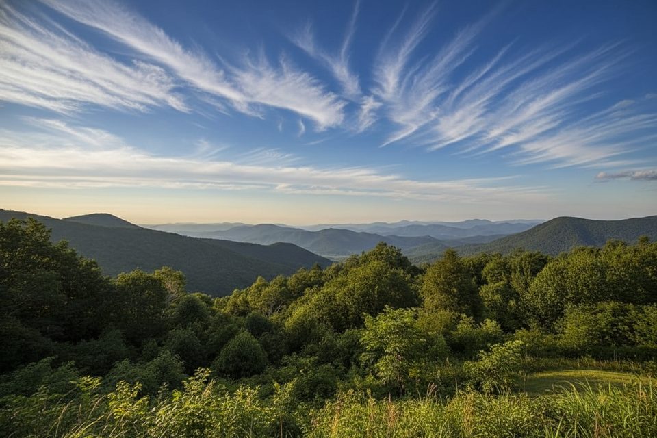
Caldwell Fork is a 6.3-mile one-way corridor through Cataloochee Valley’s deep forest, rated moderate by park standards with about 1,350 feet of total gain. It starts on Cataloochee Road near Cataloochee Campground at a footbridge over the creek and ends at Rough Fork. Expect a mellow grade for the first 4.8 miles (about 650 feet of climb), then a more sustained 700-foot push over the final 1.5 miles to the Rough Fork junction.
At 0.8 miles you hit the Boogerman Trail junction; if you take Boogerman, it loops back to Caldwell Fork 1.9 miles later, making a popular ~7.2-mile lollipop. Farther up Caldwell Fork, you’ll pass backcountry Campsite #41 around 4.9 miles; about 0.3 miles beyond, a short spur leads to a massive hollow poplar—worth the detour. Key connectors include Big Fork Ridge (mile 3.2, to Rough Fork Road), McKee Branch (mile 3.3, to Cataloochee Divide), and Hemphill Bald (mile 4.7, up to Cataloochee Divide and on to Polls Gap). The trail ends at Rough Fork at 6.3 miles; left goes 3.5 miles to Polls Gap, right goes 2.9 miles to Rough Fork Road. If you’re backpacking, Campsite #41 is convenient; Campsite #40 sits on Rough Fork about 1.5 miles from Caldwell Fork’s end. Permits/reservations are required for backcountry sites.
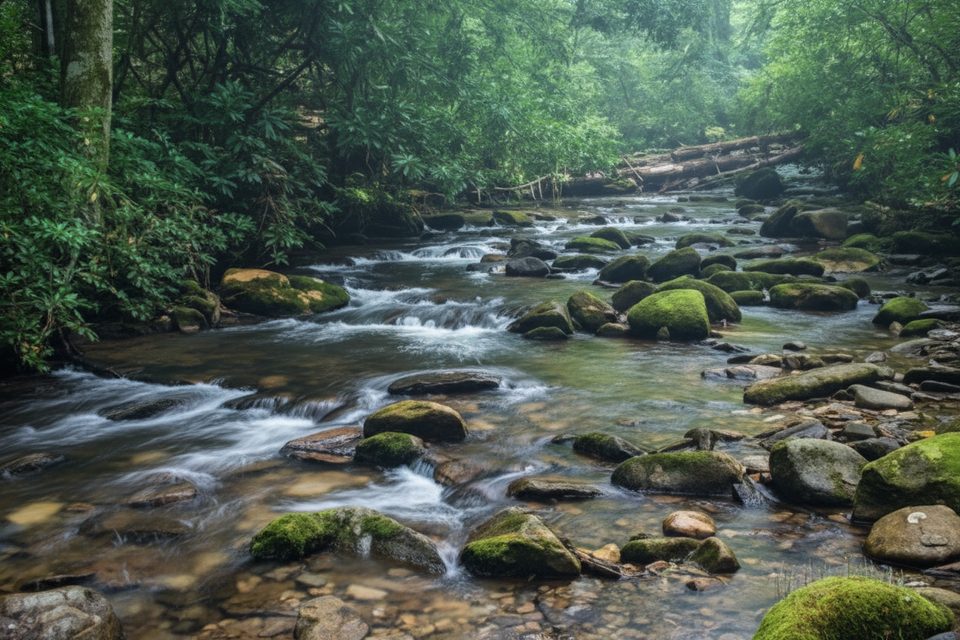
This route is famous (or infamous) for unbridged fords. In the first 2.7 miles—especially the 1.9-mile stretch between the two Boogerman junctions—count on 6–7 crossings that can run thigh-deep in normal flow. After storms, footlogs can be out, and water rises fast. Sections can be muddy and rutted from heavy horse use, with manure in places. The tread isn’t particularly rocky and there are no brutally steep pitches, but the fords and churned-up segments make it feel tougher than the numbers suggest.
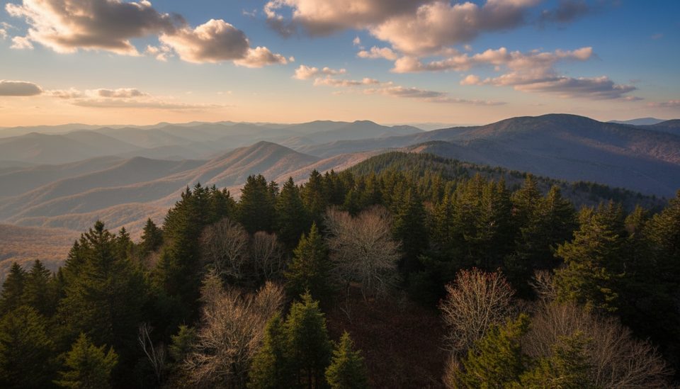
You’ll spend much of the day in rich, moist forest: tall pines and hemlock remnants, big poplars, and spring wildflowers (think early April blooms). Despite traveling near Caldwell Fork, views of the creek are surprisingly limited for long stretches—the appeal here is the immersive, old-growth feel rather than constant waterside scenery.
Go in warmer weather when getting your feet wet is no big deal. Avoid immediately after heavy rain, and think twice in cold conditions; those unbridged crossings get dangerous and miserable fast. In drier winter spells, these lower-elevation trails can be pleasant, but the water is still cold—choose your window carefully.
Bring trekking poles for stability in the fords and churned horse sections; consider quick-draining shoes and a spare pair of socks. Be ready to turn around if water is high. No pets on these backcountry trails. Day hiking needs no permit; overnighting at numbered backcountry campsites requires a reservation.
Trailhead on Cataloochee Road near Cataloochee Campground; the route begins at a footbridge over the creek.
Multiple unbridged creek fords—avoid after heavy rain or in cold conditions; expect muddy, churned tread from horse traffic and occasional missing footlogs.
Place · 0.3 mi away
Place · 0.8 mi away
Place · 0.8 mi away
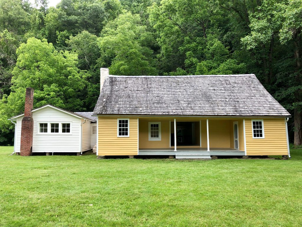
Place · 0.8 mi away
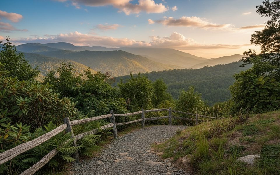
Challenging · 0 mi away
Moderate · 2.1 mi away
Challenging · 3.1 mi away
Challenging · 4.8 mi away

Parkwolf Tour Guide
